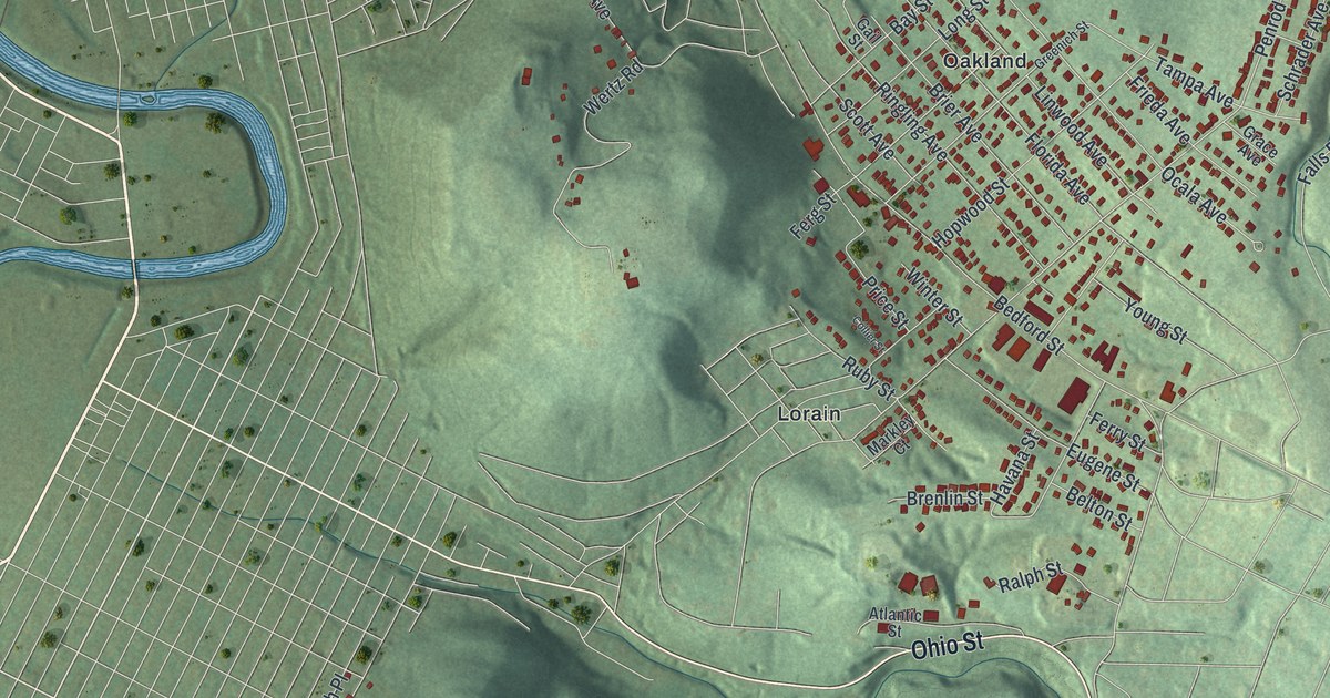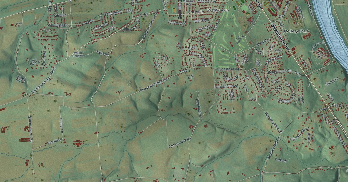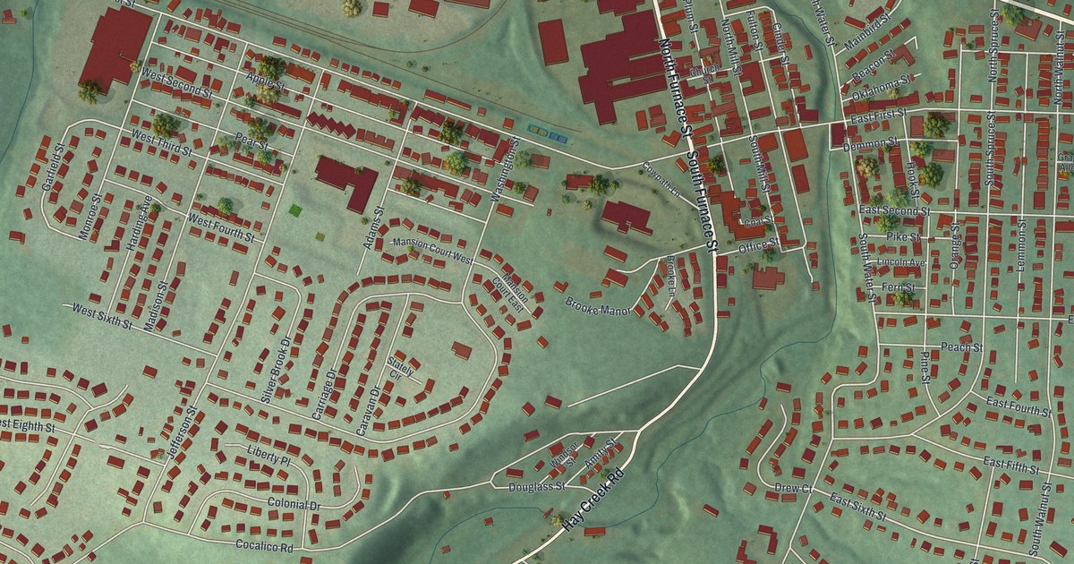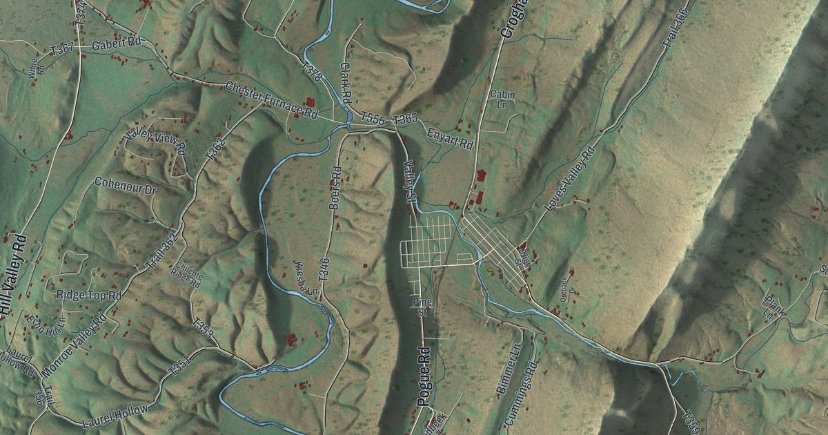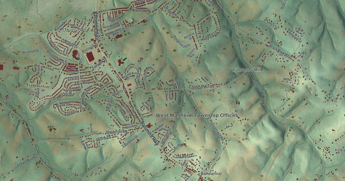
This beautifully detailed map of West Manheim, Pennsylvania was created in 2026 using aerial imagery combined with modern topographical, census, street and landmark data. It’s a one-of-a-kind view of West Manheim that combines accurate data with a vintage aesthetic. The map shows every building in its true location, many of the roads carry their names, and the shaded topographic relief shows the shape of the land.
Explore an aerial view of West Manheim, Pennsylvania
On the map you’ll find West Manheim Township Offices, Raubenstine, Hobart, Codorus State Park, Bandanna, and Fuhrmans Mill, along with Baltimore Pike, Hobart Road, Lilly Springs Road, Louvain Drive, Mount Ventus Road, Bankard Road, and more. If you look closely you can even find your house accurately drawn in its correct location. Zoom in on the preview to look for yours.
Did you know this piece of West Manheim, Pennsylvania history?
Mary Ann Furnace, built in 1761-62 on land now in West Manheim Township, was the first furnace in Pennsylvania west of the Susquehanna River. Its principal owner, George Ross, later signed the Declaration of Independence. In the winter of 1777-78, while Congress met in York, the furnace made cannons and balls for the American Army. That’s from the 1886 History of York County, Pennsylvania.
Take a closer look at the West Manheim map
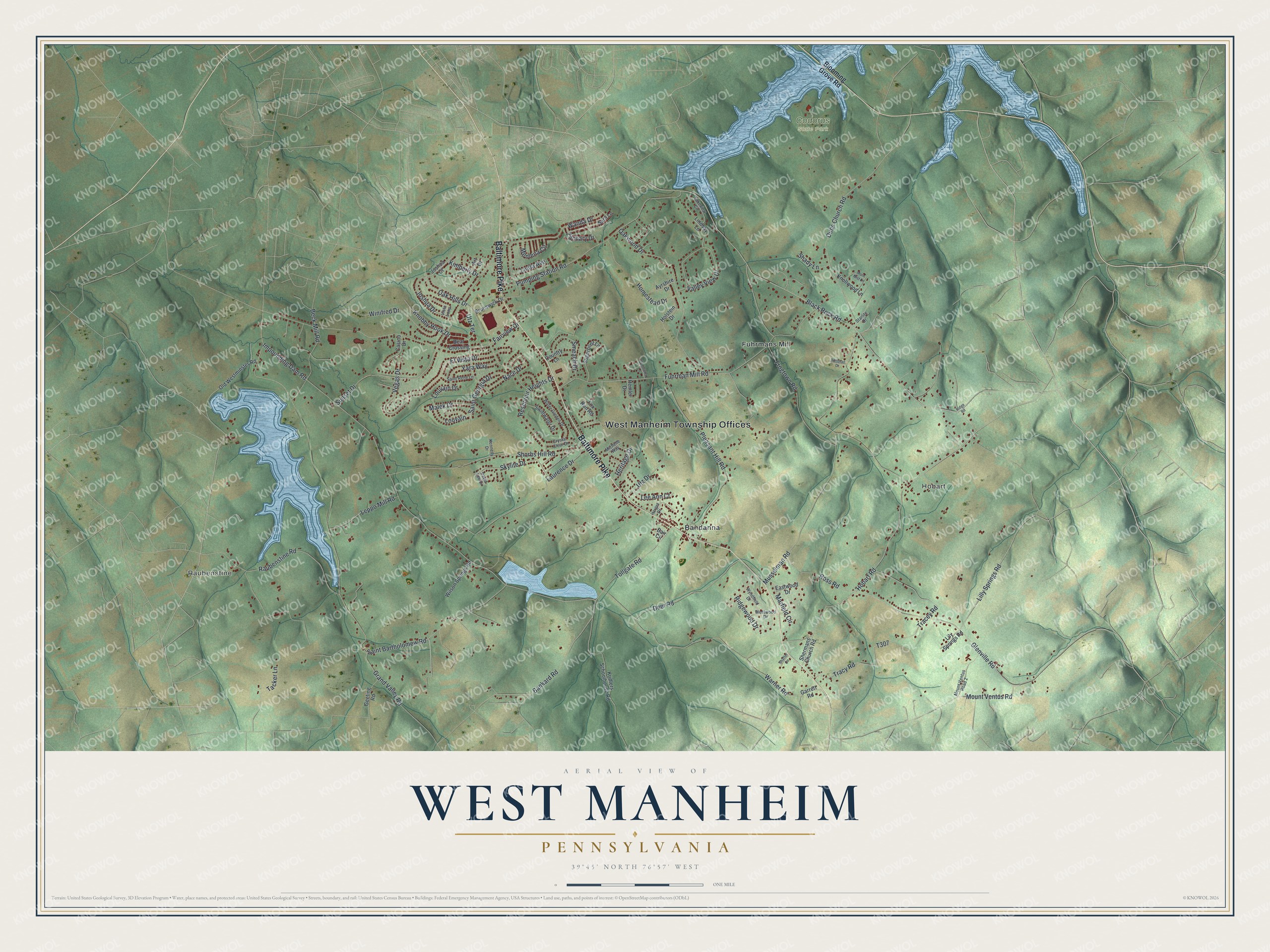
Street and place names on the West Manheim, Pennsylvania map
These names are printed on the map of West Manheim, Pennsylvania.
Places: West Manheim Township Offices, Raubenstine, Hobart, Codorus State Park, Bandanna and Fuhrmans Mill.
Streets and roads: Baltimore Pike, Hobart Road, Lilly Springs Road, Louvain Drive, Mount Ventus Road, Bankard Road, Louvain, Impounding Dam Road, Grand Valley Road, Black Rock Road, Fuhrman Mill Road, Frogtown Road.
More street names, A to Z
Art Drive, Ayrshire Drive, Bair Circle, Bear Crossing, Beck Mill Road, Blooming Grove Road, Brunswick Drive, Casino Drive, Country Lane, Crystal Clear Drive, David Lee Drive, Deer Road, Dubs Church Road, Eastwood Drive, El Vista Drive, Fairview Drive, Fox Run Road, Garrett Road, Geeting Road, Glenville Road, Harget Drive, Hemler Drive, Heritage Drive, Holstein Drive, Homestead Drive, Joshua Court, Joshua Drive, Kennedy Drive, Kimberly Drive, Knobby Hook Drive, Knollwood Lane, Kridlers Schoolhouse Road, Lakeview Circle, Laurence Drive, Lee Ann Court, Leppo Mill Road, Lily Springs Road, Linda Avenue, Lindsay Lane, Malek Drive, Marfield Circle, Menlena Circle, Michelle Way, Morn Mist Lane, Mount Ventus Road 2, Musselman Road, Nace Drive, Oak Hills Drive, Oakwood Drive, Old Westminster Road, Panorama Lane, Pleasant Hill Road, Pumping Station Road, Raubenstine Road, Reservoir Heights Drive, Ridge Road, Ridgewood Drive, Ross Road, Ruhlman Drive, Saint Bartholomew Road, Saint Georgia Drive, Saint Rene Lane, Sara Lane, Shady Lane, Shaffer Circle, Shermans Church Road, Shorbs Hill Road, Skylite Drive, Smeach Drive, Starlite Drive, Sugarboot Lane, Sunset Drive, Swiftwater Drive, Tacker Lane, Tollgate Road, Tracey Road, Tracy Road, Utz Drive, Utz Terrace, Valley View Drive, Vegas Drive, Vista Loop, Wanda Drive, Warner Road, Water Garden Drive, Westwood Drive, Wilson Springs Road, Winifred Drive, Wyndfield Drive, Yara Way, Zachary Drive.
See the West Manheim, Pennsylvania map on a wall
The West Manheim map as an 18 x 24 inch print in a black frame.

This beautifully detailed map of West Manheim makes an attractive addition to your office, library, or den, and it can even be used to teach children the geography and history of the area. It also makes a great gift for anyone with West Manheim roots. When you’re done exploring, click here to get your copy of the West Manheim map.