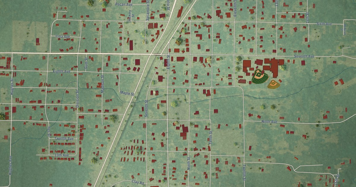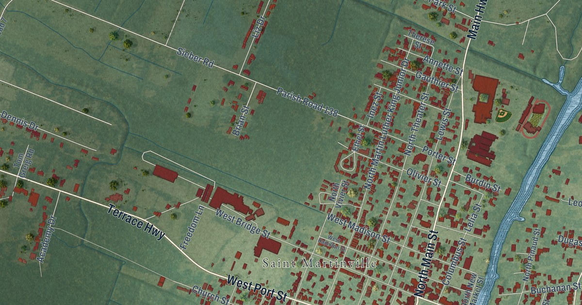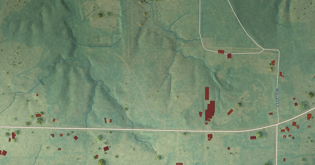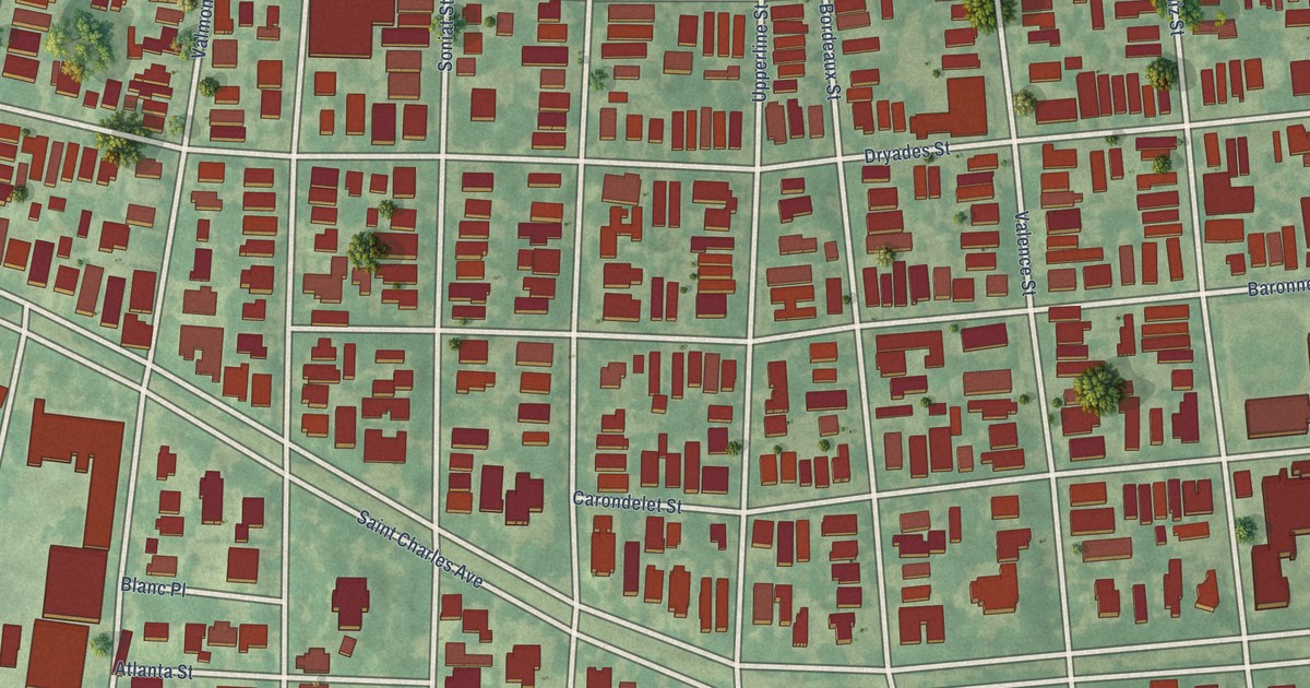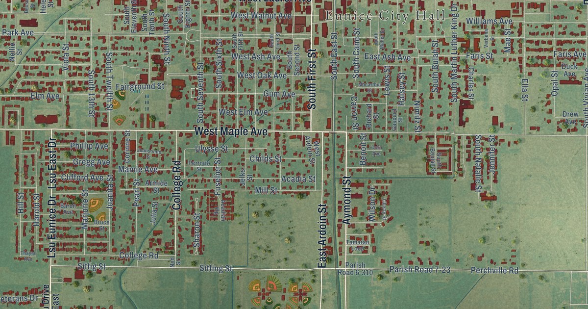
This beautifully detailed map of Eunice, Louisiana was created in 2026 using aerial imagery combined with modern topographical, census, street and landmark data. It’s a one-of-a-kind view of Eunice that combines accurate data with a vintage aesthetic. The map shows every building in its true location, many of the roads carry their names, and the shaded topographic relief shows the shape of the land.
Explore an aerial view of Eunice, Louisiana
On the map you’ll find Eunice City Hall, along with Lsu Drive, North First Street, Aymond Street, South First Street, East Ardoin Street, North Bobcat Drive, West Laurel Avenue, South Bobcat Drive, West Maple Avenue, Maple Avenue, East Laurel Avenue, and more. If you look closely you can even find your house accurately drawn in its correct location. Zoom in on the preview to look for yours.
Did you know this piece of Eunice, Louisiana history?
From the National Park Service: "Built between 1919 and 1924, the Liberty Theatre is a two story brick commercial building located in downtown Eunice."
Take a closer look at the Eunice map
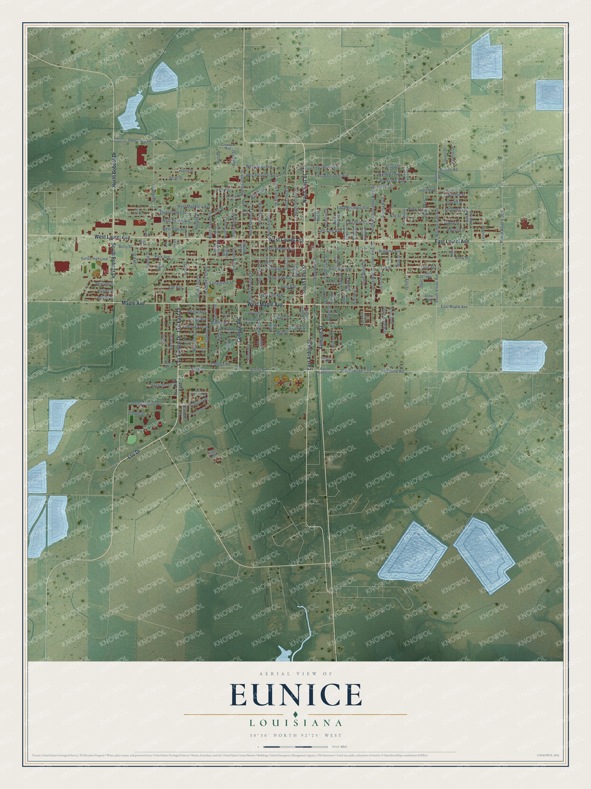
Street and place names on the Eunice, Louisiana map
These names are printed on the map of Eunice, Louisiana.
Places: Eunice City Hall.
Streets and roads: Lsu Drive, North First Street, Aymond Street, South First Street, East Ardoin Street, North Bobcat Drive, West Laurel Avenue, South Bobcat Drive, West Maple Avenue, Maple Avenue, East Laurel Avenue, Lsu East Drive.
More street names, A to Z
Acadian Vlg, Acadia Street, Airport Road, Alexandre Street, Alida Street, Amazon Street, Anne Street, Armide Street, Athabaska Street, Baron Avenue, Bee Street, Benoit Street, Bernard Street, Bernice Street, Bessie Street, Betty Street, Bollich Road, Bruce Street, Carron Street, Center Street, Charles Street, Charmaine Street, Childs Street, Clifford Avenue, College Road, Corinne Street, Corn Avenue, Darrell Street, Dresser Loop, Drew Avenue, Duck Avenue, East Ash Avenue, East Bacciochi Avenue, East Dean Avenue, East Magnolia Avenue, East Maple Avenue, East Peach Street, East Vine Avenue, Ella Street, Elm Avenue, Eula Street, Eunice High Loop, Fairground Street, Fannie Street, Faris Avenue, Faris Street, Fruge Street, Fuselier Street, Gaspard Street, Glendale Avenue, Great Slave Avenue, Gregg Avenue, Gum Avenue, Halsey Street, Harold Street, Hazel Street, Helen Street, Hill Street, Hunter Street, Ida Street, Jake Street, Jeanne Street, Jeansonne Street, Jelks Street, Jennifer Street, Joanna Drive, Juanita Street, Julia Street, June Street, Lauren Drive, Lawrence Street, Leon Avenue, Lewis Street, Liberty Street, Lloyd Street, Lsu Drive East, Lsue Campus Drive, Lsu Eunice Drive, Macarthur Street, Mae Street, Mamie Avenue, Marjorie Street, Mathilda Avenue, Miller Street, Mill Street, Moosa Boulevard, Ned Street, Nellie Street, Neva Street, Nile Street, Nimitz Street, North Beulah Street, North Cane Street, North East Street, North Eighth Street, North Eleventh Street, North Fifth Street, North Fourth Street, North Mallet Street, North Martin Luther King Drive, North Ninth Street, North Saint George Street, North Saint Joseph Street, North Second Street, North Seventh Street, North Sixth Street, North Tanglewood Drive, North Tenth Street, North Third Street, North Twelfth Street, North Vivian Avenue, Numa Street, Opal Street, Parish Road 6-305, Parish Road 6-310, Parish Road 6-325, Parish Road 6-408, Parish Road 6-429, Parish Road 7-23, Park Avenue, Patrice Road, Paula Street, Pearl Street, Perchville Road, Perrotte Street, Phillip Avenue, Reed Avenue, Richard Street, Robert Street, Rodney Street, Roosevelt Avenue, Rose Street, Rougeau Street, Samuel Drive, Savannah Street, Scott Street, Sharon Street, Sheila Avenue, Shell Street, Sittig Street, Sitting Street, South 13th Street, South Beulah Street, South Bulah Street, South Cane Street, South East Street, South Eighth Street, South Eleventh Street, South Fifth Street, South Mallet Street, South Martin Luther King Drive, South Natalie Street, South Ninth Street, South Second Street, South Seventh Street, South Sixth Street, South Tanglewood Drive, South Tenth Street, South Third Street, South Twelfth Street, South Vivian Avenue, Tamaran Loop, Tate Avenue, Thayer Avenue, Tunnie Lane, Ulysse Street, University Place, Verbena Street, Veterans Drive, Viola Street, West Ardoin Street, West Ash Avenue, West Bacciochi Avenue, West Dean Avenue, West Dudley Street, West Elm Avenue, West Magnolia Avenue, West Oak Avenue, West Peach Avenue, West Vine Avenue, West Walnut Avenue, Williams Avenue, Wilson Drive, Yukon Street.
See the Eunice, Louisiana map on a wall
The Eunice map as an 18 x 24 inch print in a black frame.

This beautifully detailed map of Eunice makes an attractive addition to your office, library, or den, and it can even be used to teach children the geography and history of the area. It also makes a great gift for anyone with Eunice roots. When you’re done exploring, click here to get your copy of the Eunice map.