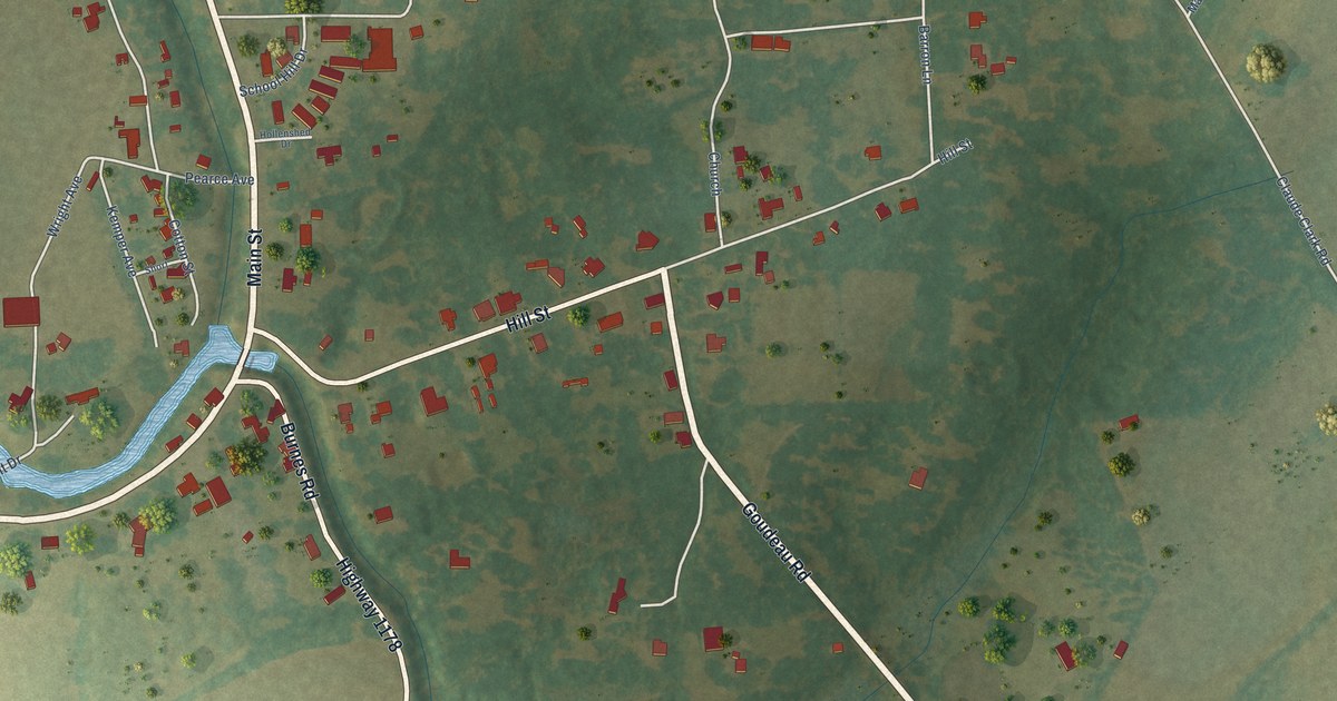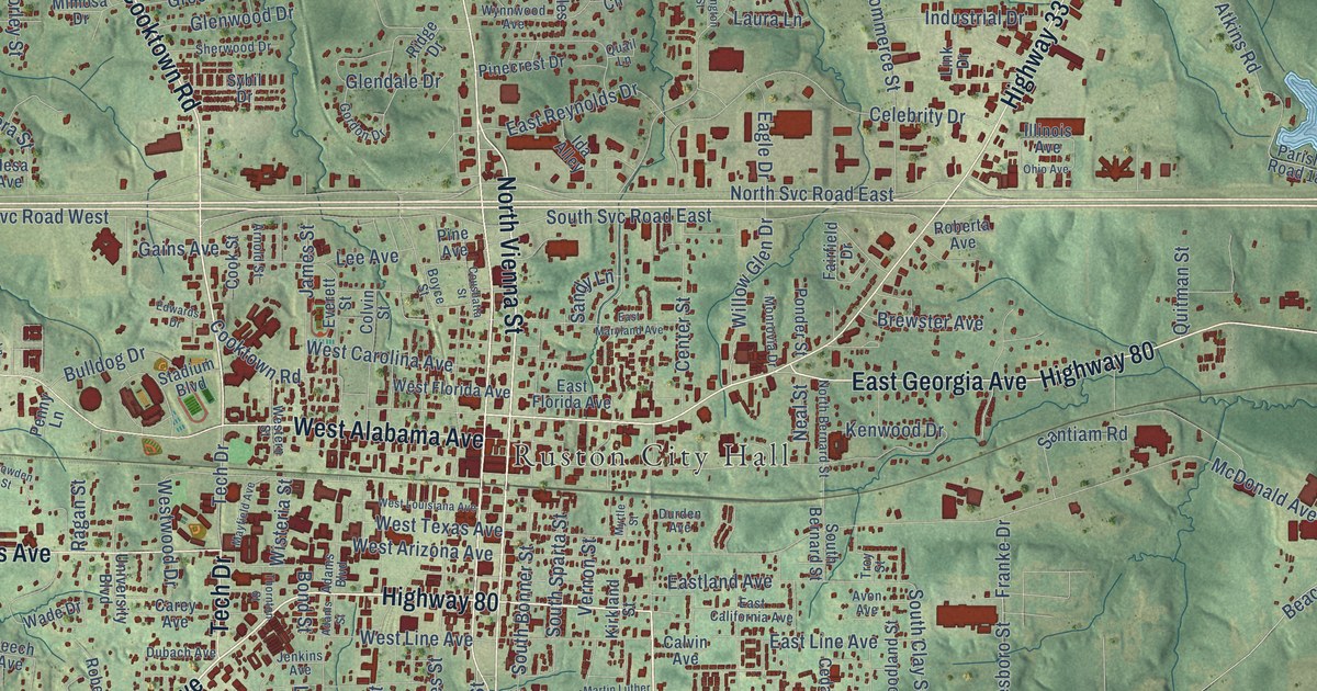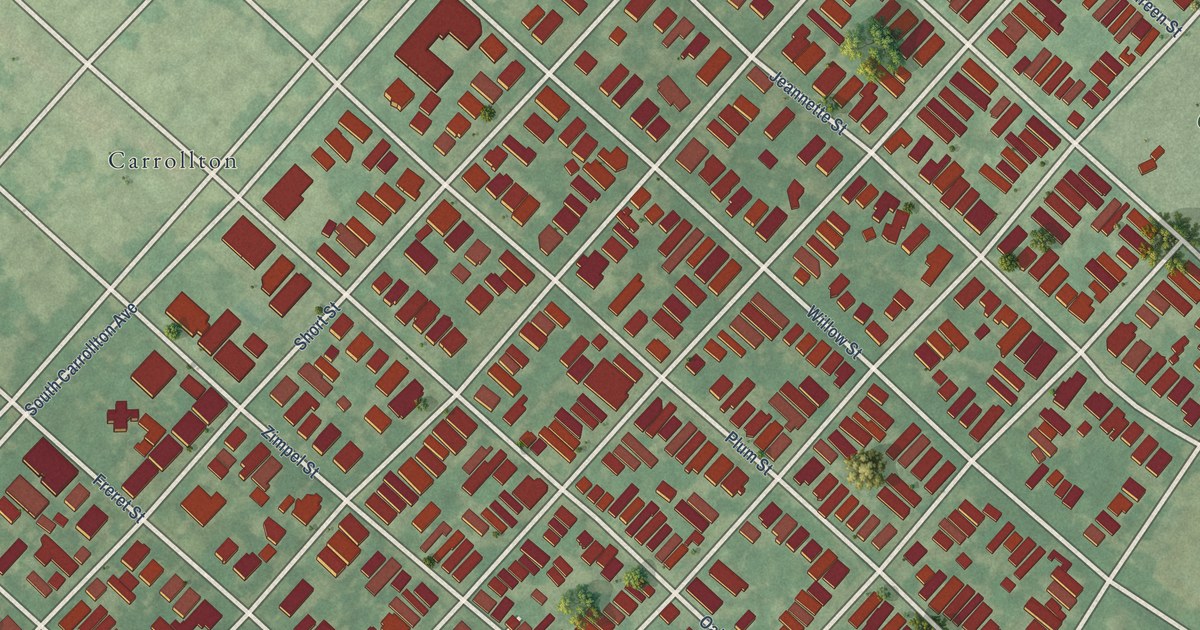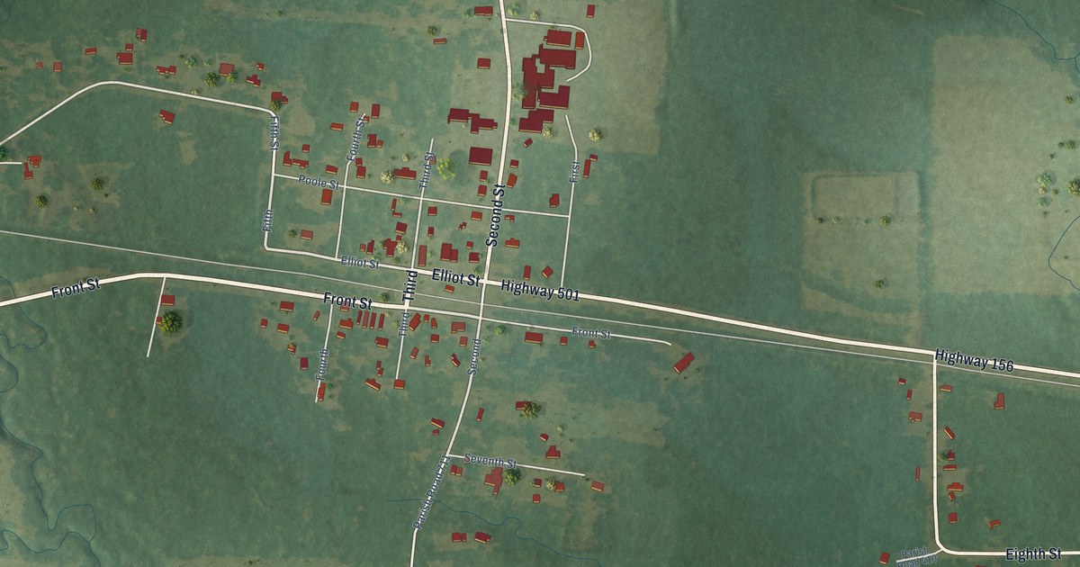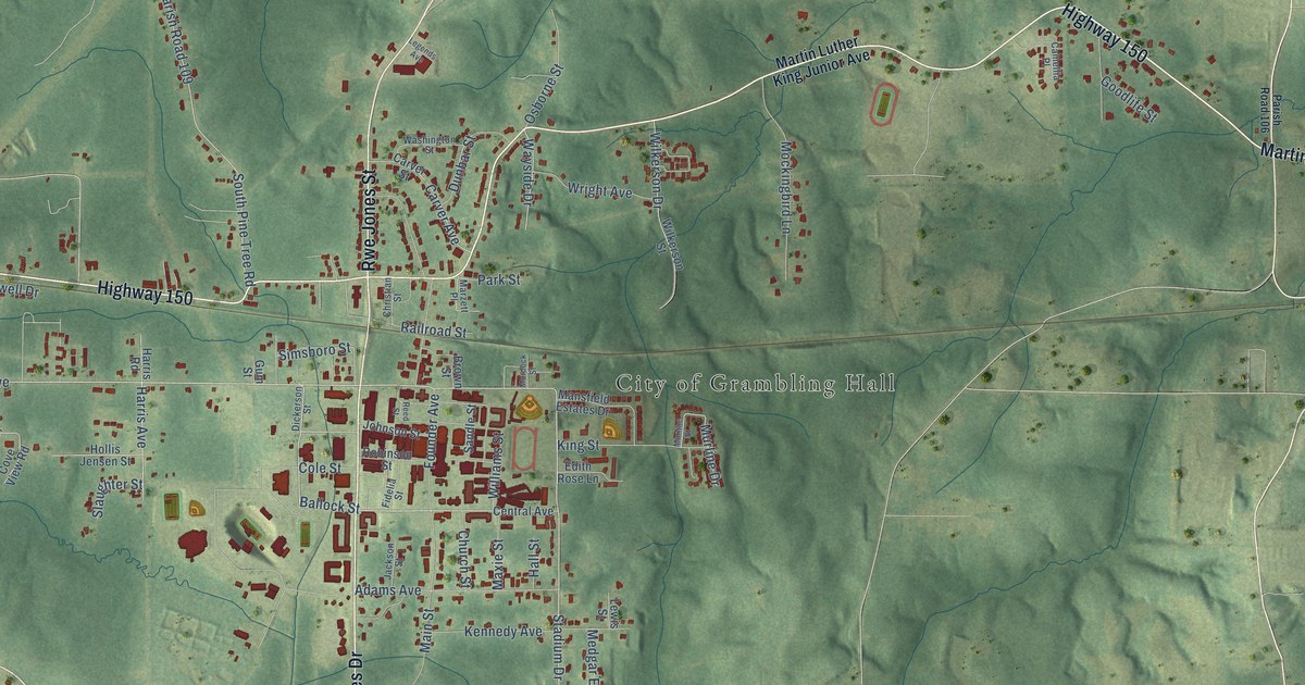
This beautifully detailed map of Grambling, Louisiana was created in 2026 using aerial imagery combined with modern topographical, census, street and landmark data. It's a modern aerial view of Grambling in Lincoln Parish, Louisiana, that combines modern data with a vintage aesthetic. The roads feature printed names, and if you look closely you can find your exact house accurately shown in its correct location.
Explore an aerial view of Grambling, Louisiana
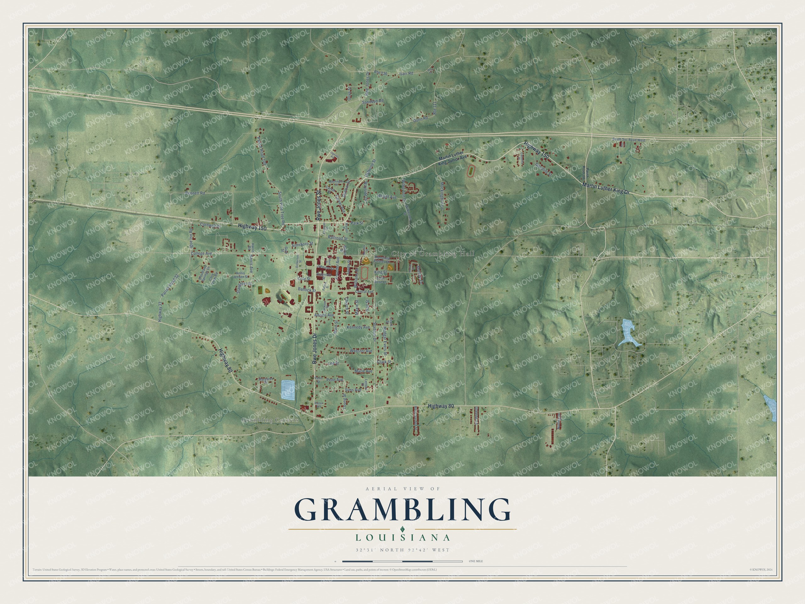
On this map you'll find City of Grambling Hall, Grambling Corners, Highway 150, Rwe Jones Drive, Highway 80, Martin Luther King Drive, Rwe Jones Street, College Avenue, Stadium Drive, Ballock Street, King Street, Highway 33, and more. Each red shape is a building, so zoom in on the preview and look for yours.
Grambling has a story worth telling. The Century Historical Association puts it this way: "Grambling, a post-village and station, is situated in the southern part of Lincoln parish, about 5 miles west of Ruston, the parish seat, and on the main line of the Vicksburg, Shreveport & Pacific R. R."
Grambling is a city in Lincoln Parish. The Census Bureau counted 5,239 people here in 2020.
Take a closer look at the Grambling map
Names on this map
These names are printed on this map.
Places: City of Grambling Hall and Grambling Corners.
Streets and roads: Highway 150, Rwe Jones Drive, Highway 80, Martin Luther King Drive, Rwe Jones Street, College Avenue, Stadium Drive, Ballock Street, King Street, Highway 33, Parish Road 32, Main Street.
More street names, A to Z
Adams Avenue, Adell Road, Bennett Road, Brown Street, Camellia Place, Carver Avenue, Carver Street, Central Avenue, Christian Street, Church Street, Clark Street, Cole Street, Cornwell Drive, Cove View Road, Dickerson Street, Dunbar Street, Dunn Road, Edith Rose Lane, Fidelia Street, Founder Avenue, Garr Road, Goodlife Street, Greene Lane, Gum Street, Gus Lane, Hall Street, Harris Avenue, Harris Road, Hollis Jensen Street, Igoe Inn Road, Jackson Street, Johnson Street, Kennedy Avenue, Lee Street, Legends Avenue, Lenora Place, Lewis Street, Mansfield Estates Drive, Margaret Place, Marie Avenue, Martin Luther King Junior Avenue, Marzett Place, Maxie Street, Medgar Evers Street, Mockingbird Lane, Murdock Street, Murline Drive, Murline Street, Nutmeg Drive, Olive Street, Osborne Street, Parish Road 106, Parish Road 109, Park Street, Patton Avenue, Penn Avenue, Penn Street, Railroad Street, Reed Street, Robinson Street, Rose Garden Street, Route 111, Route 136, Sandbed Road, Sandle Street, Sims Avenue, Simsboro Street, Slaughter Street, South Pine Tree Road, South Svc Road West, Washington Street, Wayside Drive, Webster Avenue, Wilkerson Drive, Wilkerson Street, Williams Street, Woodland Springs Drive, Wright Avenue, Young Street.
Created by KNOWOL in 2026. The buildings are small red shapes, the roads carry their printed names, and shaded relief shows the shape of the land. The title panel reads "AERIAL VIEW OF GRAMBLING LOUISIANA" with 32°31' NORTH 92°42' WEST.
It looks right in a kitchen, an office or a den, and it's a gift for anyone who grew up in Grambling or moved away. Open the preview and find your street. See sizes and frames for the Grambling map.