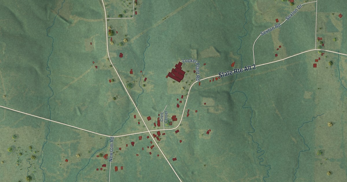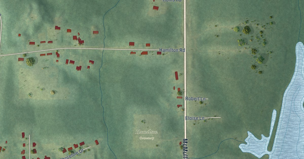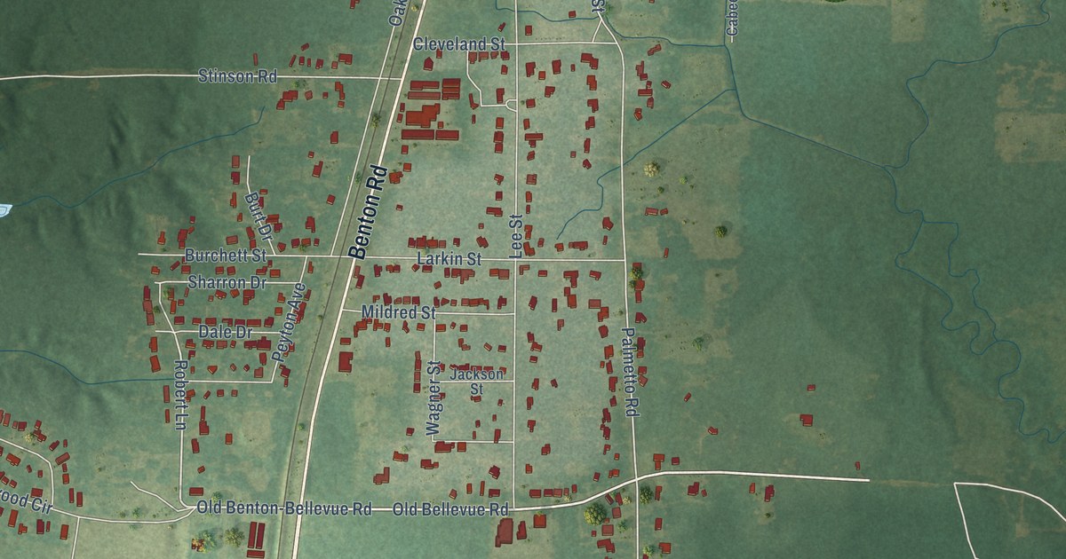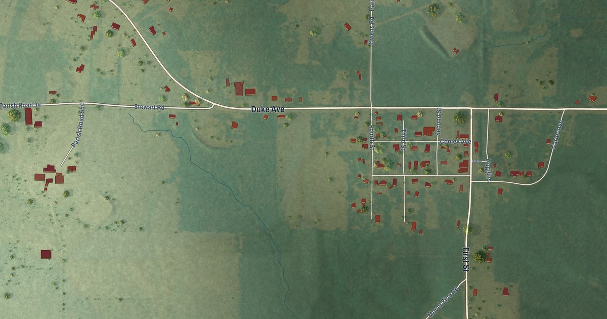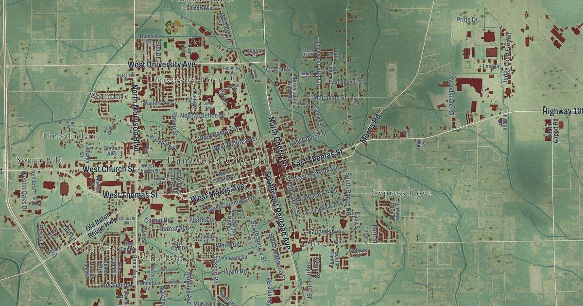
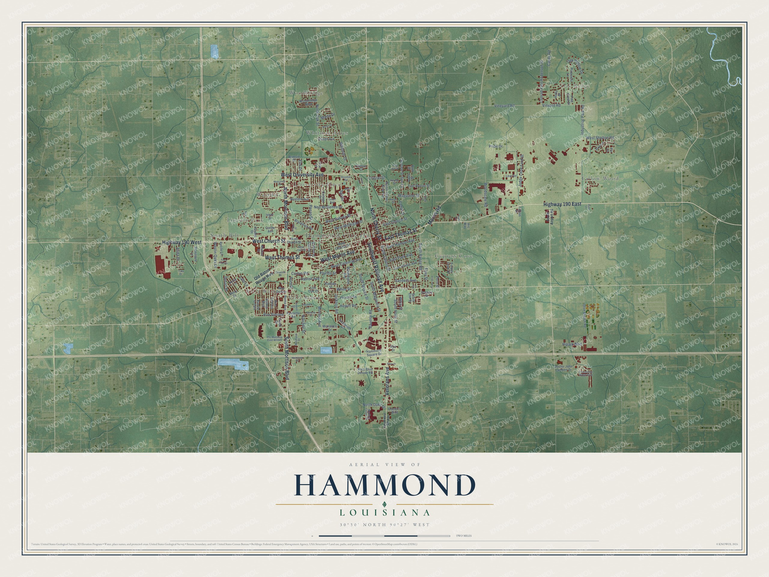
This beautifully detailed map of Hammond, Louisiana was created in 2026 using aerial imagery combined with modern topographical, census, street and landmark data. It's a modern aerial view of Hammond in Tangipahoa Parish, Louisiana, that combines modern data with a vintage aesthetic. The roads feature printed names, and if you look closely you can find your exact house accurately shown in its correct location.
Explore an aerial view of Hammond, Louisiana
On this map you'll find Hammond City Hall, Oak Ridge, Cypress Cove, Lincoln Park, Oliver, South Bilt, Tallow Wood, University Place, Villa Roma, Villa West, Westdale, Whitmar Acres, and more. Each red shape is a building, so zoom in on the preview and look for yours.
Every town has a first chapter, and Hammond is no exception. The National Park Service puts it this way: "By the 1920s Hammond's strawberry auction on an average day handled 140,000 flats, most of which traveled north in refrigerated cars specially designed to prevent bruising."
Hammond is a city in Tangipahoa Parish. The Census Bureau counted 19,584 people here in 2020.
Take a closer look at the Hammond map
Names on this map
These names are printed on this map.
Places: Hammond City Hall, Oak Ridge, Cypress Cove, Lincoln Park, Oliver, South Bilt, Tallow Wood, University Place, Villa Roma, Villa West, Westdale, Whitmar Acres and Woodbridge.
Streets and roads: West Thomas Street, Southwest Railroad Avenue, North Morrison Boulevard, Highway 190 West, North Cherry Street, Veterans Avenue, Highway 190 East, East Thomas Street, West Church Street, South Morrison Boulevard, West University Avenue, West Morris Avenue.
More street names, A to Z
Alida Drive, Amar Drive, Apple Street, Arc Way, Barn Street, Bauerle Road, Berry Drive, Billups Drive, Blackburn Road, Campo Street, Carter Street, Casey Road, Center Avenue, Chauvin Drive, Clinton Court, College Drive, Conrad East Anderson Street, Corbin Road, Crystal Street, Delmar Boulevard, Derek Drive, Doctor's Boulevard, Doctor John Lambert Drive, Duo Drive, East Church Street, East Hanson Avenue, East Hoover Street, East Illinois Avenue, East Park Avenue, Easy Street, Elm Court, Elm Drive, Falcon Drive, Fern Street, Fleet Lane, Florida Street, Forbes Farm Drive, Gahn Lane, Hammond Square Drive, Harden Drive, Harrell Avenue, Harvey Street, Hewitt Road, Hipark Boulevard, Holly Drive, Iever Street, Industrial Park Road, Jackson Road, Janes Lane, Judge Leon Ford Street, Kansas Street, Kirby Lane, Lato Lane, Lear Drive, Lion Lane, Live Oak Drive, Lovett Street, Magazine Street, Mane Street, Market Street, Marta Drive, Martin Luther King Avenue, McKaskle Drive, Medical Center Drive, Monistere Lane, Montecino Drive, Mooney Avenue, Moran Street, Morris Road, Muscarello Road, Natchez Street, Ned McGehee Drive, North Oaks Drive, North Oak Street, Oak Hollow Drive, Octavia Street, Old Baton Rouge Highway, Olive Branch Road, Palmetto Road, Palmetto Street, Parker Boulevard, Par Lane, Pecan Street, Pfc Matthew East Wildes, Phoenix Square, Pine Crest Drive, Pinecrest Lane, Pine Lane, Pride Drive, Providence Ridge Boulevard, Recile Lane, Reed Street, Richsmith Lane, Robin Hood Drive, Roma Avenue, Roomie Road, Rue Cannes, Rue de la Paix, Rue Denise, Rue Simone, Rumsie Drive, Ruth Drive, Sanders Avenue, Scanlan Street, Seale Drive, Sga Drive, Silman Avenue, Skinner Lane, South Airport Road, South Cherry Street, South Elm Street, South Holly Street, South Magnolia Street, South Range Road, South Spruce Street, Southwest RR Avenue, Sun Lane, Sunlane Street, Susan Drive, Tina Drive, Top Hat Street, Tower Drive, Union Avenue, Vineyard Road, Vinyard Road, Washington Avenue, West Charles Street, West Clark Street, West Club Deluxe Road, West Coleman Avenue, West Dakota Street, Western Avenue, Westin Oaks Drive, West Michigan Street, West Shelton Road, Whip Street, White Street, Whitmar Drive, Windrush Drive, Woodbridge Boulevard, Woodscale Road.
Created by KNOWOL in 2026. The buildings are small red shapes, the roads carry their printed names, and shaded relief shows the shape of the land. The title panel reads "AERIAL VIEW OF HAMMOND LOUISIANA" with 30°30' NORTH 90°27' WEST.
Hang it in the hallway, the office or the cabin, or give it to someone who left Hammond and still calls it home. Open the preview and look for a street you know. See sizes and frames for the Hammond map.