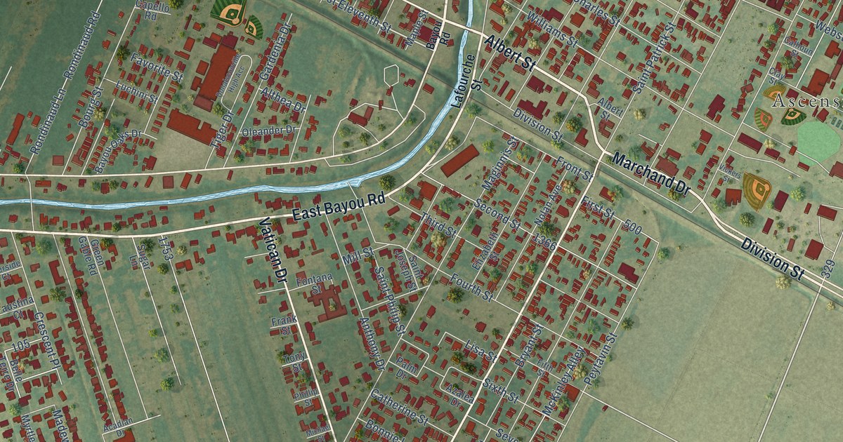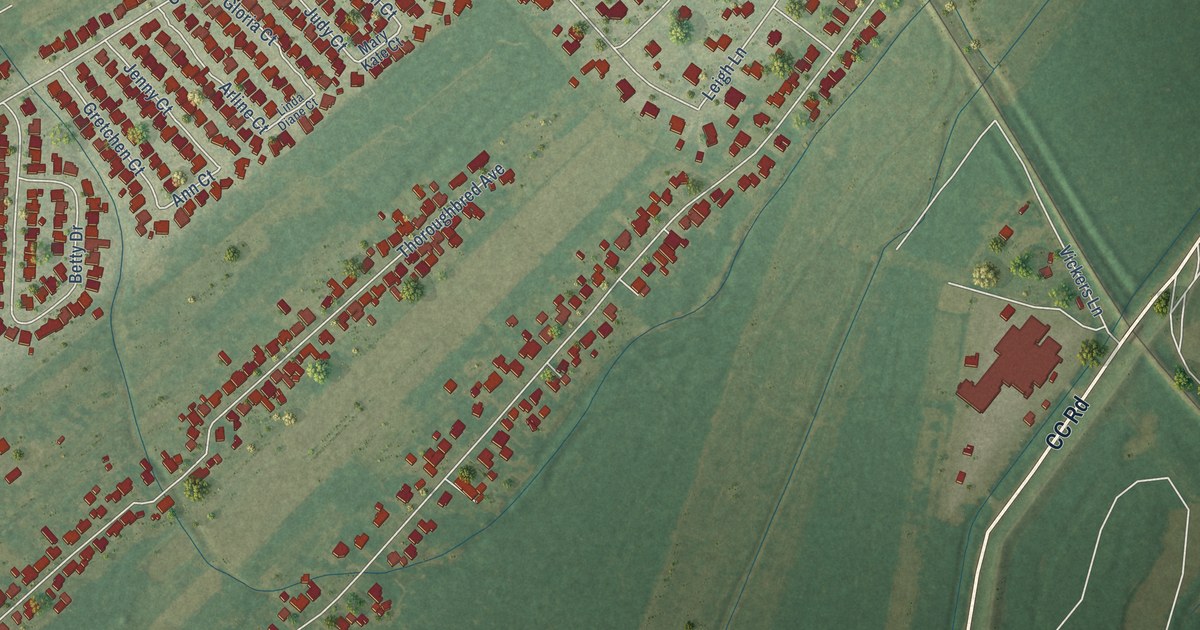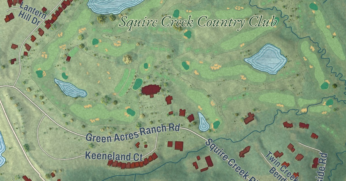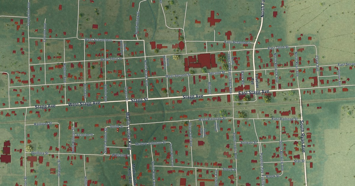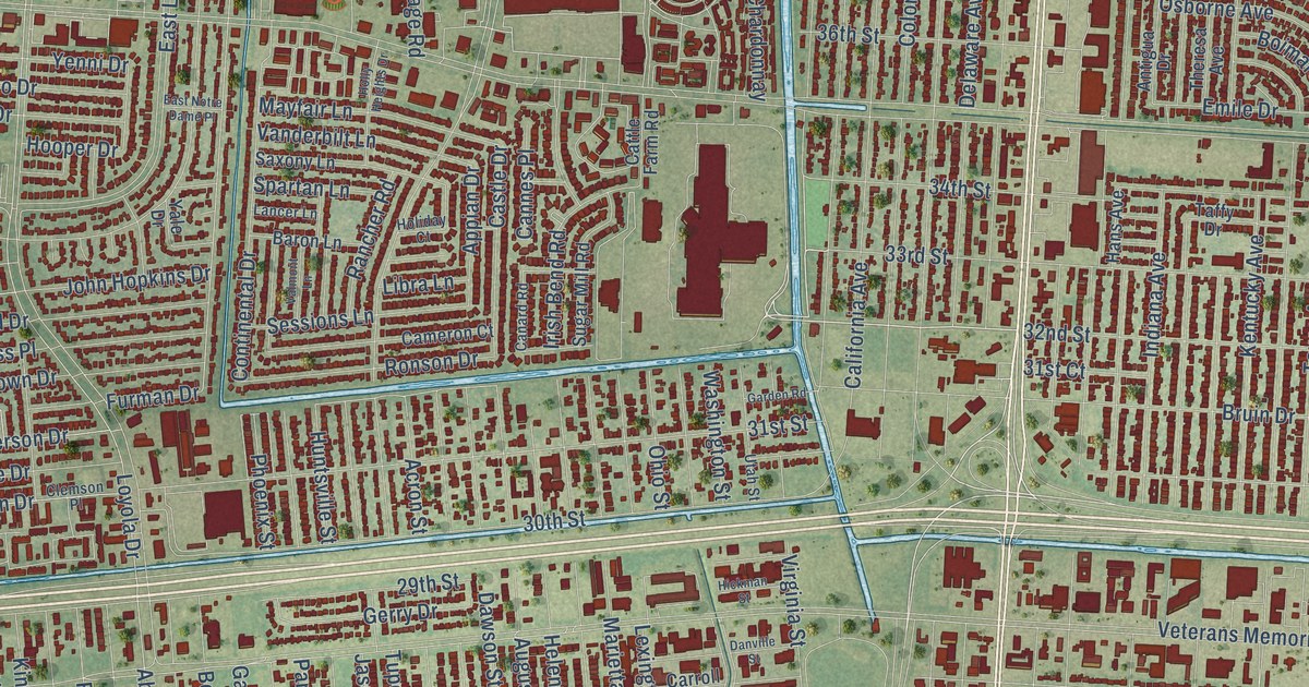
This beautifully detailed map of Kenner, Louisiana was created in 2026 using aerial imagery combined with modern topographical, census, street and landmark data. It’s a one-of-a-kind view of Kenner that combines accurate data with a vintage aesthetic. The map shows every building in its true location, many of the roads carry their names, and the shaded topographic relief shows the shape of the land.
Explore an aerial view of Kenner, Louisiana
On the map you’ll find Kenner City Hall, along with Williams Boulevard, Third Street, Airline Drive, Reverend Richard Wilson Drive, East Airline Highway, Bainbridge Street, 32nd Street, Airport Road, Grandlake Boulevard, Joe Yenni Boulevard, Delaware Avenue, and more. If you look closely you can even find your house accurately drawn in its correct location. Zoom in on the preview to look for yours.
Did you know this piece of Kenner, Louisiana history?
From the Historical Marker Database: "Established by the Good Shepherd Family Burial Society of Kenner, around 1860, by a group of African-American men for religious, benevolent and literary purposes. The organization was chartered on December 14, 1898."
Take a closer look at the Kenner map
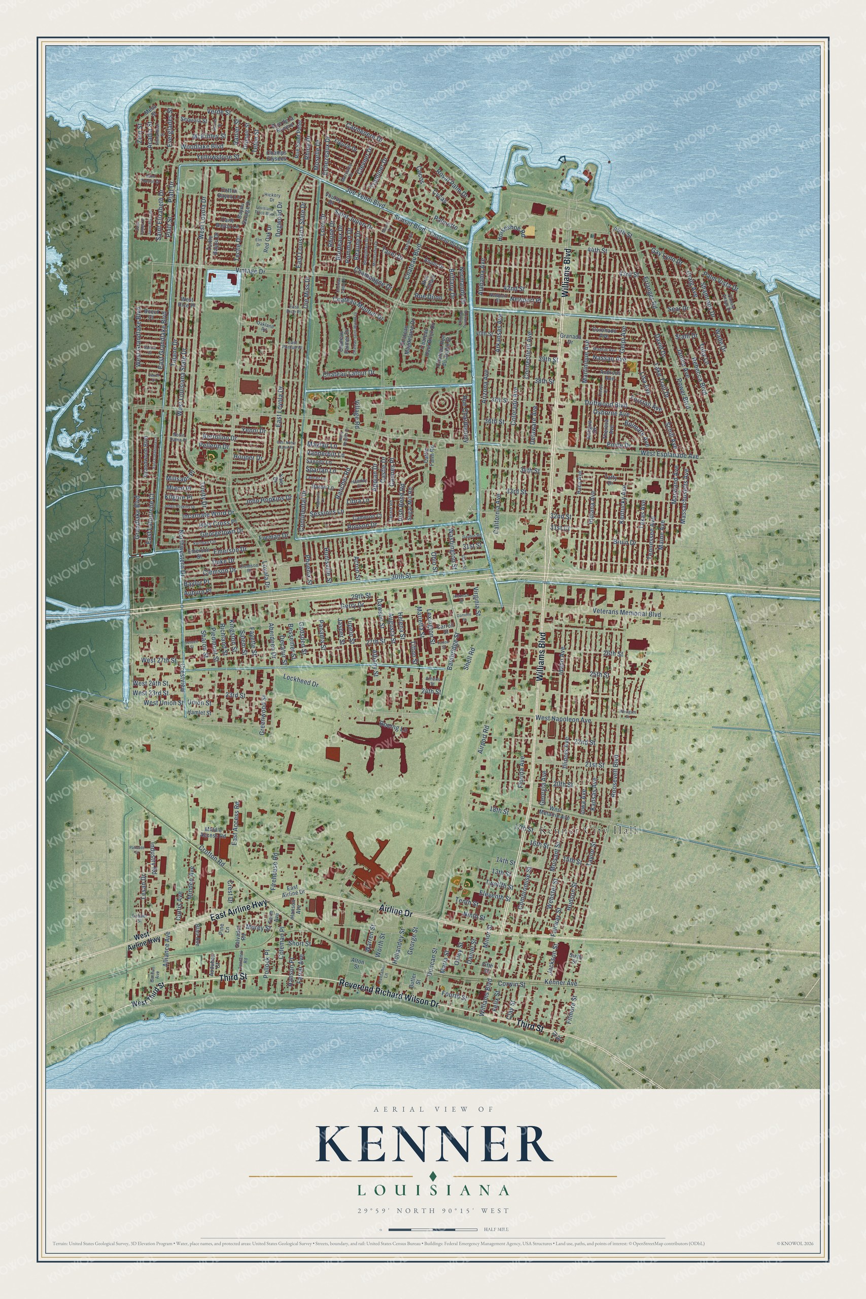
Street and place names on the Kenner, Louisiana map
These names are printed on the map of Kenner, Louisiana.
Places: Kenner City Hall.
Streets and roads: Williams Boulevard, Third Street, Airline Drive, Reverend Richard Wilson Drive, East Airline Highway, Bainbridge Street, 32nd Street, Airport Road, Grandlake Boulevard, Joe Yenni Boulevard, Delaware Avenue, West Napoleon Avenue.
More street names, A to Z
13th Street, 14th Street, 15th Street, 16th Street, 17th Street, 18th Street, 20th Street, 21st Street, 22nd Street, 23rd Street, 24th Street, 25th Street, 26th Street, 27th Street, 29th Street, 30th Street, 31st Court, 31st Street, 33rd Street, 34th Street, 36th Street, 37th Street, 38th Street, 39th Street, 40th Street, 42nd Street, 43rd Street, 44th Street, 45th Street, Aberdeen Drive, Acadia Street, Acron Street, Alabama Avenue, Albany Street, Alliance Avenue, Al Street, Alton Street, Androus Avenue, Anjou Drive, Antigua Drive, Appian Drive, Arizona Avenue, Arkansas Avenue, Asher Court, Athens Street, Auburn Place, Audubon Court, Augusta Street, Baron Lane, Baylor Place, Bayou Savage Drive, Beaujolais Drive, Beaune Drive, Bertolino Drive, Bessemer Street, Blair Avenue, Boeing Lane, Boeuf Court, Boimare Avenue, Bordeaux Drive, Brittany Drive, Bruin Drive, Butler Street, California Avenue, Cameron Court, Canard Road, Canary Ansas Drive, Cane Bayou Lane, Cannes Place, Carmenere Drive, Carroll Street, Castle Drive, Cattle Farm Road, Centanni Lane, Centanni Road, Champagne Drive, Champs Elysees, Chateau Boulevard, Chateau du Lac, Chateau Haut Brion Drive, Chateau Latour Drive, Chateau Magdelaine Drive, Chateau Mouton Drive, Chateau Palmer Drive, Chateau Rue du Jardin Street, Chateau Saint Michel Drive, Chateau Talbot Drive, Chateau Trianon Drive, Clay Street, Clemson Drive, Clemson Place, Clevner Drive, Cocos, Coleman Place, Colorado Avenue, Compromise Street, Connecticut Avenue, Continental Drive, Cooper Street, Coronado Avenue, Corwin Street, Cotton Bayou Lane, Craig Avenue, Crest Drive, Crestview, Crofton Road, Curtis Avenue, Cycas, Daniel Street, Danville Street, David Drive, Dawson Street, Decatur Street, Dogwood Drive, Driftwood Boulevard, Duke Drive, Duncan Street, East Access Road, East Airline Drive, East Catahoula Court, East Grandlake Boulevard, East Lafourche Court, East Louisiana State Drive, East Loyola Drive, East Notre Dame Place, East Purdue Place, East Rice Place, Echezeaux Drive, Eleventh Street, Elm Drive, Emerson Drive, Emerson Street, Emile Drive, Erlanger Road, Everglades Street, Fairway Street, Farm Avenue, Farrar Avenue, Fayette Street, Felix Street, Fifth Street, Filmore Street, Firehouse Road, Fleurie Drive, Florida Avenue, Forstall Avenue, Fourth Street, Fulton Street, Furman Circle, Furman Drive, Gadsden Street, Garden Road, Gay Lynn Drive, Gelpi Avenue, George Street, Georgetown Drive, Georgia Avenue, Gerry Drive, Glacier Street, Gordon Avenue, Granada Drive, Grandwood Boulevard, Greenwood Street, Hamlet Street, Hans Avenue, Hanson Avenue, Hanson Place, Helena Street, Hickman Street, Hickory Drive, Holiday Court, Hollandey Street, Holly Heights Drive, Holy Cross Place, Hooper Drive, Horseshoe Road, Hudson Street, Huntsville Street, Idaho Avenue, Illinois Avenue, Incarnate Word Drive, Indiana Avenue, Industry Road, Iowa Avenue, Irish Bend Road, Jackson Street, Janice Avenue, Jasper Street, John Hopkins Drive, Johns Hopkins Drive, Kansas Avenue, Kenner Avenue, Kentucky Avenue, Kilgore Place, Kingston Street, Lake Trail Drive, Lancer Lane, Lesan Drive, Lexington Street, Libra Lane, Lisa Avenue, Lockheed Drive, Loire Drive, Louisiana Trace Boulevard, Loyola Drive, Lucaya Drive, Macon Drive, Madrid Avenue, Maine Avenue, Maria Street, Marietta Street, Martinique Avenue, Maryland Avenue, Massachusetts Avenue, Mayfair Lane, McKinley Street, Mercurey Drive, Mesa Street, Miami Place, Middle Access Road, Millsaps Place, Minden Avenue, Minor Street, Moisant Street, Montrachet Drive, Morey Street, Moselle Drive, Nassau Avenue, Newport Place, Newport Street, Ninth Street, Normandy Drive, Northwestern Drive, Notre Dame Place, Oakland Road, Ohio Street, Ole Miss Drive, Olympic Street, Osborne Avenue, Oxley Street, Palisade Street, Palmetto, Palm Vista Drive, Panama Street, Pellerin Drive, Phoenix Street, Piedmont Street, Pine Lane, Platt Drive, Platt Street, Pollock Place, Pommard Drive, Power Boulevard, Rancher Road, Ranier Street, Rebecca Boulevard, Red Oak Drive, Rhine Drive, Rhone Drive, Richland Street, Ronson Drive, Roosevelt Boulevard, Royal Palm Drive, Rue Calais, Rue Chardonnay, Rue de la Riviere, Rue Dijon, Rue Saint Peter, Sabine Court, Saint Blase Drive, Saint Elizabeth Drive, Saint James Drive, Saint Julien Drive, Saint Thomas Drive, Salem Street, Salvador Road, Saxony Lane, Schill Avenue, Sear Drive, Sequoia Street, Sessions Lane, Shamrops Drive, Sharon Street, Shell Road, Shenandoah Street, Short Street, Sixth Street, Spartan Lane, Stahl Drive, Sugar Mill Road, Sunset Boulevard, Sussex Street, Taffy Drive, Tavel Drive, Taylor Street, Teche Drive, Tennessee Avenue, Tenth Street, Teton Street, Texas Avenue, Theresa Avenue, Tifton Street, Toby Lane, Traminer Drive, Trinity Drive, Tulane Drive, Tupelo Street, Turtle Bayou Drive, Twelfth Street, Union Street, Utah Street, Valmont Lane, Vanderbilt Lane, Verde Street, Verret Court, Veterans Memorial Boulevard, Village Road, Vintage Drive, Virginia Street, Vouray Drive, Wade Drive, Warren Street, Washington Street, Webster Street, West 23rd Street, West 24th Street, West 27th Street, West Airline Highway, West Esplanade Avenue, Westgate Street, West Grandlake Boulevard, West Louisiana State Drive, West Loyola Drive, West Metairie Avenue, West Rice Place, West Third Street, West Union Street, Woodlake Boulevard, Worth Street, Yale Drive, Yellowstone Street, Yenni Drive, Zion Street.
See the Kenner, Louisiana map on a wall
The Kenner map as an 18 x 24 inch print in a black frame.

This beautifully detailed map of Kenner makes an attractive addition to your office, library, or den, and it can even be used to teach children the geography and history of the area. It also makes a great gift for someone who left Kenner and still calls it home. When you’re done exploring, click here to get your copy of the Kenner map.