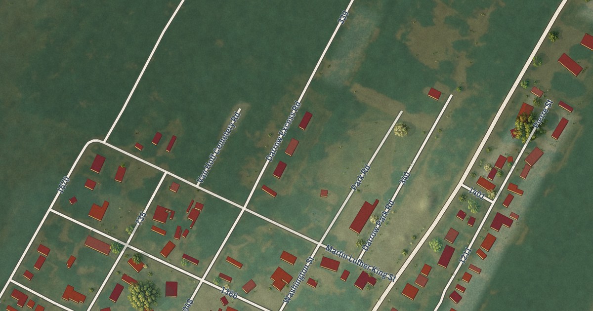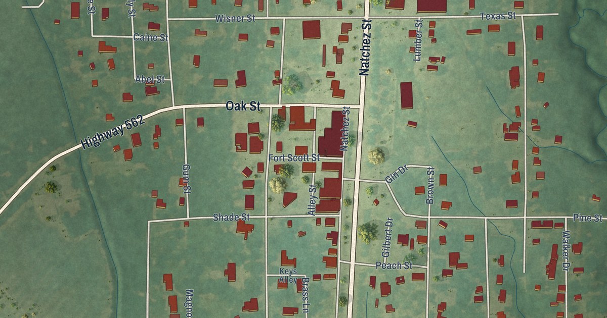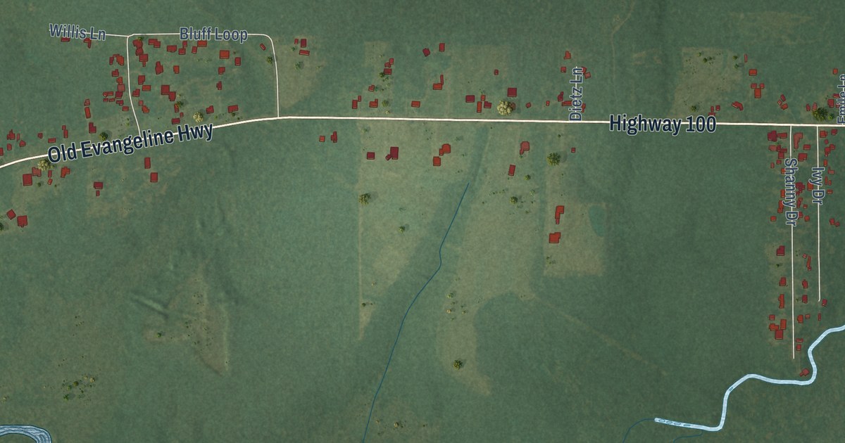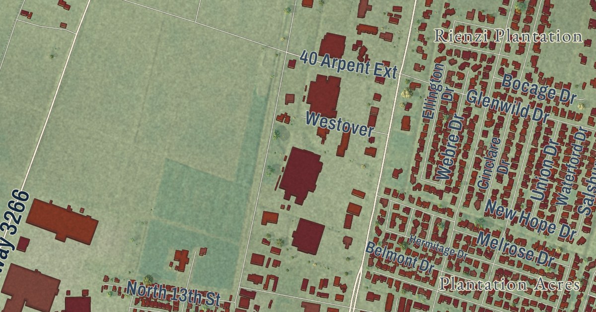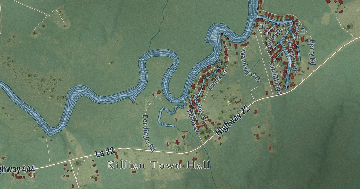
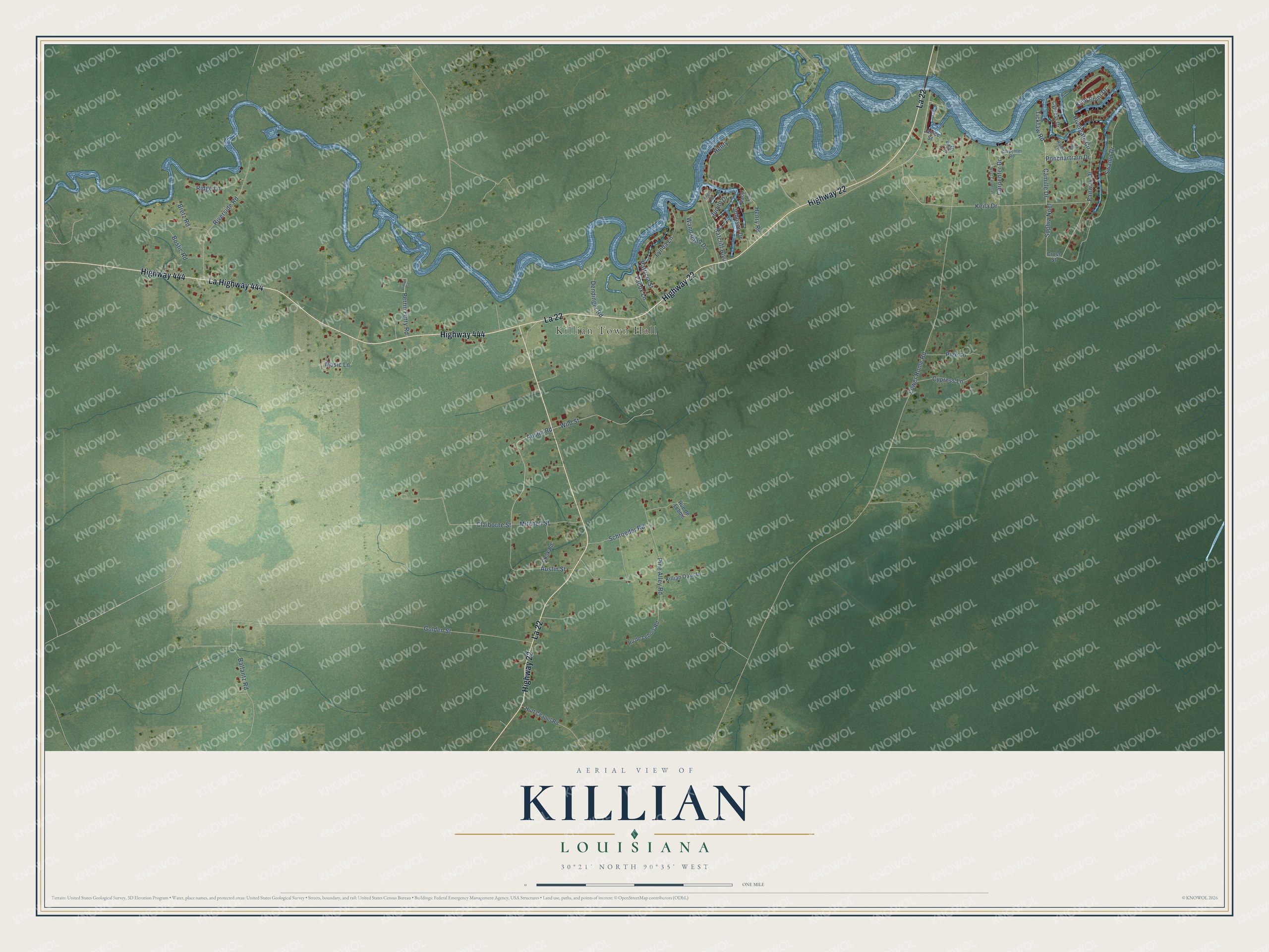
This beautifully detailed map of Killian, Louisiana was created in 2026 using aerial imagery combined with modern topographical, census, street and landmark data. It’s a one-of-a-kind view of Killian that combines accurate data with a vintage aesthetic. The map shows every building in its true location, many of the roads carry their names, and the shaded topographic relief shows the shape of the land.
Explore an aerial view of Killian, Louisiana
On the map you’ll find Killian Town Hall and La 22, along with Highway 22, Highway 444, La Highway 444, Austin Road, Fairway Drive, Wild Street, Rivergate Circle, Lower Rome Road, Golden Street, Swamp Drive, and more. If you look closely you can even find your house accurately drawn in its correct location. Zoom in on the preview to look for yours.
Did you know this piece of Killian, Louisiana history?
From the Centenary College Archives: "Huff Chapel United Methodist Church (Killian, La.) is located at 30000 Huff Chapel Road, Killian, Louisiana. Services first began under brush arbors."
Take a closer look at the Killian map
Street and place names on the Killian, Louisiana map
These names are printed on the map of Killian, Louisiana.
Places: Killian Town Hall.
Streets and roads: La 22, Highway 22, Highway 444, La Highway 444, Austin Road, Fairway Drive, Wild Street, Rivergate Circle, Lower Rome Road, Golden Street, Swamp Drive, Schroeder Road.
More street names, A to Z
Anne Street, Austin Street, Balfantz Road, Bostic Road, Bretz Road, Buns Lane, Camille Drive, Carpenter Drive, Carpenter Road, Claiborne Street, Cook Road, Cross Street, Cypress Drive, Cypress Lane, Dendinger Road, Faust Circle, Henry, Henry Road, Huff Chapel Road, Janice Street, Johnson Drive, Judith Drive, Keila Drive, Killian Oaks Drive, King Point Drive, Lacox Lane, Linton Circle, Lynda Lane, Mitchell Street, Music Lane, Patricia Street, Perrin Ferry Road, Pine Alley Road, Pine Lane, Ponchartrain Drive, Rainy Lane, Ratcliff Boulevard, Ridge Lane, Riverside Road, Ru de Lebois Road, Rue de Lebois, Sophia Noel, Stacy Lane, Tickfaw Road, Wandaland Drive, West Carpenter.
See the Killian, Louisiana map on a wall
The Killian map as an 18 x 24 inch print in a black frame.

This beautifully detailed map of Killian makes an attractive addition to your office, library, or den, and it can even be used to teach children the geography and history of the area. It also makes a great gift for anyone with Killian roots. When you’re done exploring, click here to get your copy of the Killian map.