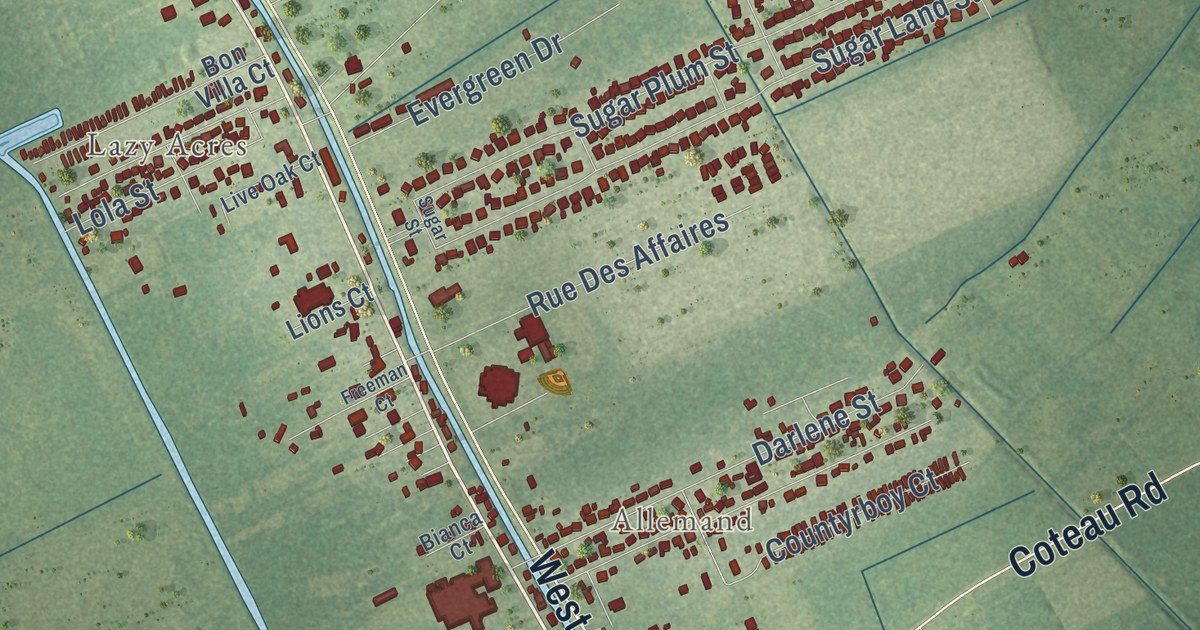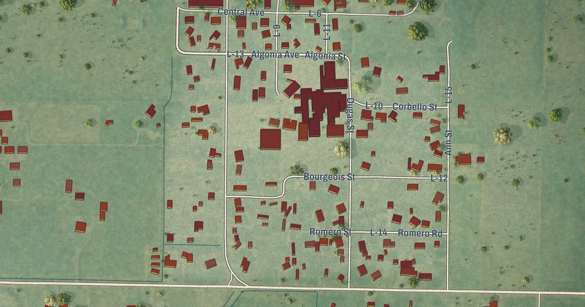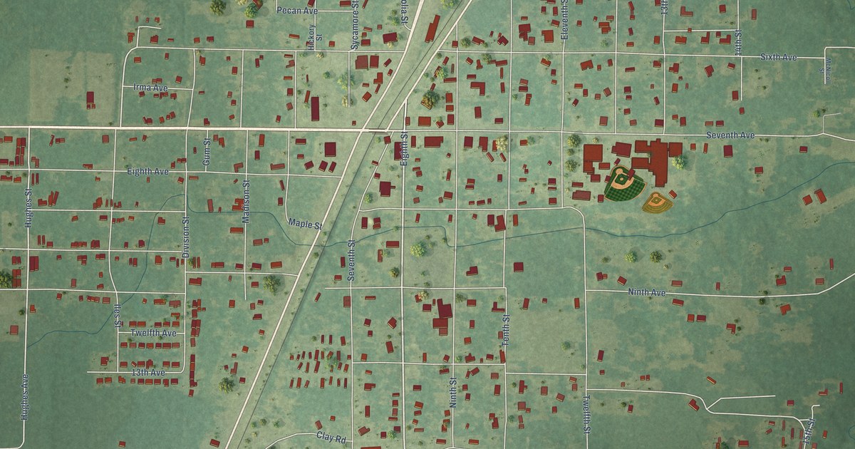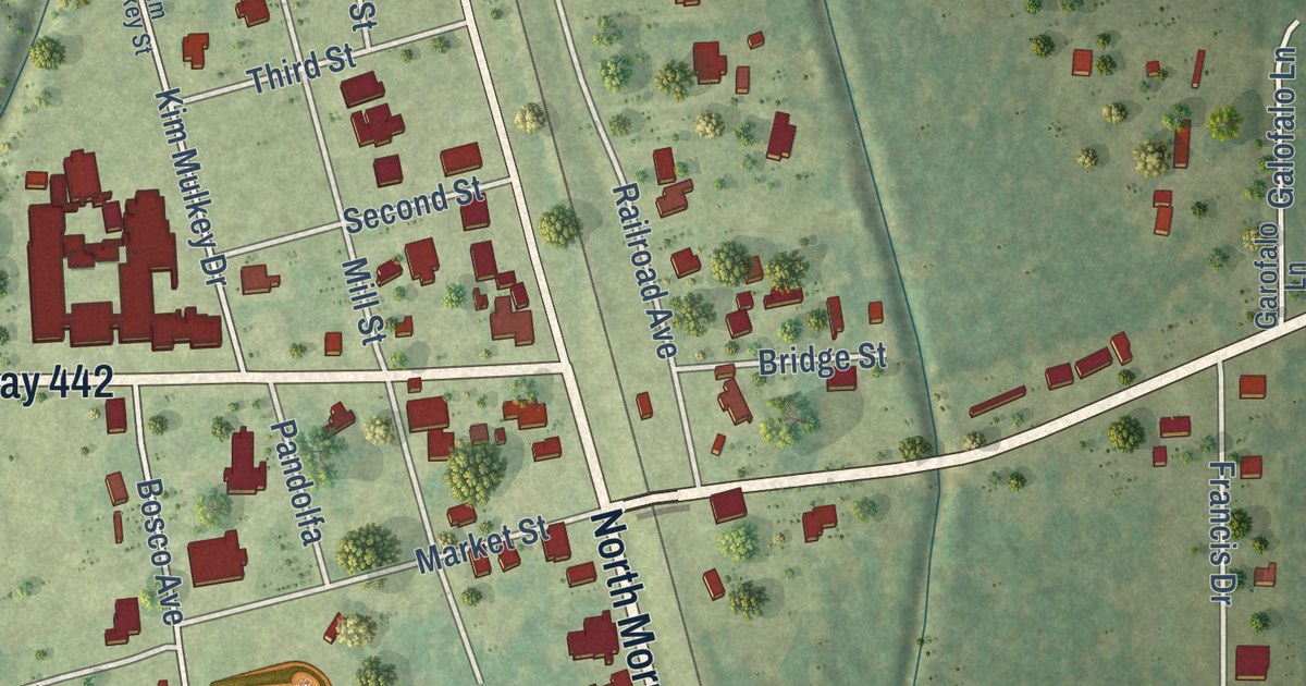
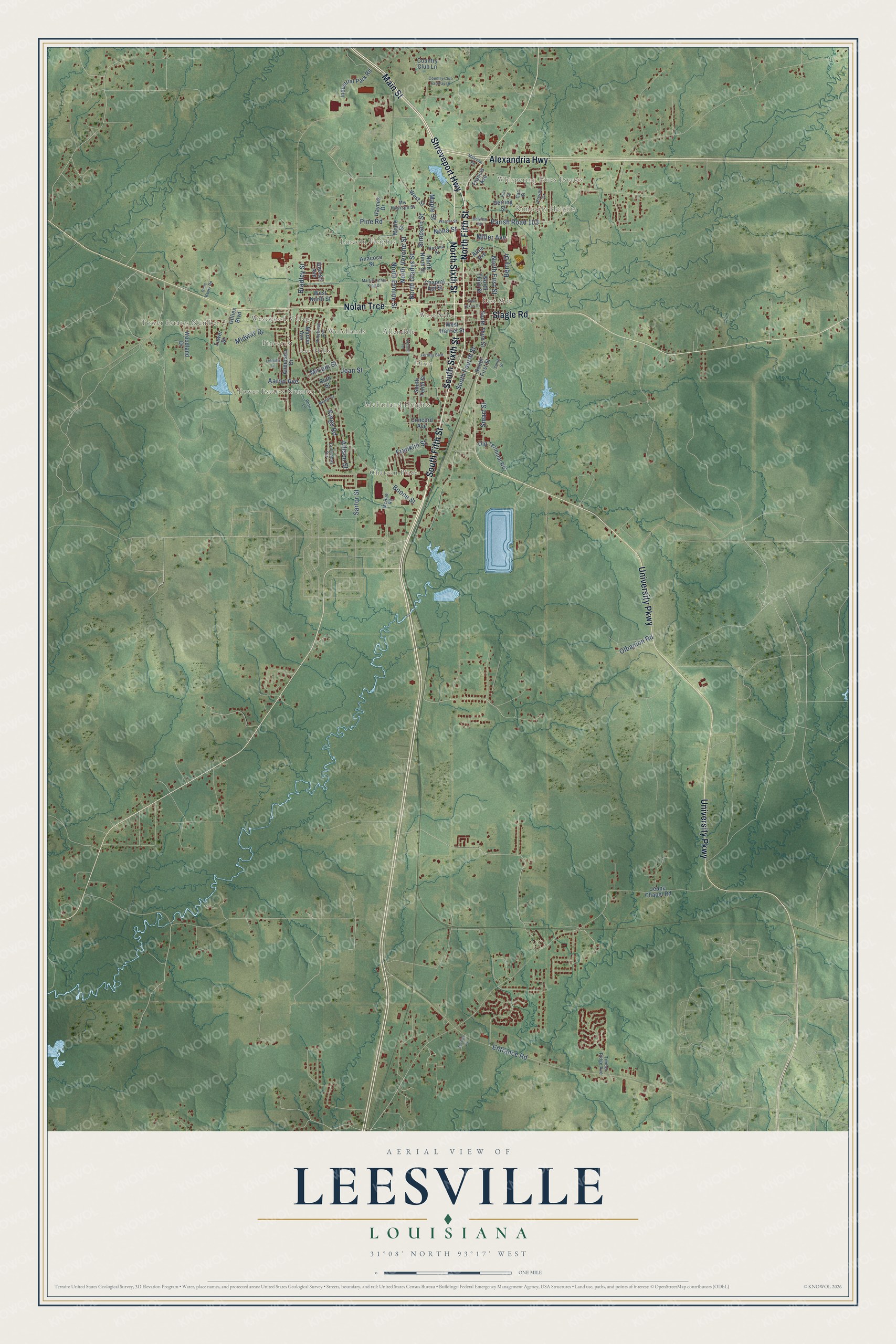
This beautifully detailed map of Leesville, Louisiana was created in 2026 using aerial imagery combined with modern topographical, census, street and landmark data. It’s a one-of-a-kind view of Leesville that combines accurate data with a vintage aesthetic. The map shows every building in its true location, many of the roads carry their names, and the shaded topographic relief shows the shape of the land.
Explore an aerial view of Leesville, Louisiana
On the map you’ll find Whispering Pines Estates, Kimberly Heights, Powell Park, Allendale, Chateau Place, Dixie, East Side, Fertitta Park, Lee Hills, Lincoln Heights, Lyles Addition, McFarland Heights, and more. If you look closely you can even find your house accurately drawn in its correct location. Zoom in on the preview to look for yours.
Did you know this piece of Leesville, Louisiana history?
From Alcée Fortier’s 1914 encyclopedia of Louisiana history: "Leesville, the capital of Vernon parish, was established by the act creating the parish in 1871."
Take a closer look at the Leesville map
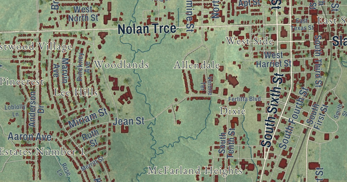
Street and place names on the Leesville, Louisiana map
These names are printed on the map of Leesville, Louisiana.
Places: Whispering Pines Estates, Kimberly Heights, Tower Estates Number 2, Lincoln Heights, Chateau Place, Lee Hills, East Side, Allendale, Tower Estates Number 1, West Side, McFarland Heights, Woodlands, Westwood Village, Dixie and Pinecrest.
Streets and roads: South Fifth Street, Shreveport Highway, North Sixth Street, Main Street, South Sixth Street, North Fifth Street, Alexandria Highway, University Parkway, Nolan Trce, Slagle Road, Parish Road 103, Aaron Avenue.
More street names, A to Z
Allen Avenue, Allison Street, Anacoco Street, Anderson Drive, Belview Road, Berry Drive, Boone Street, Bradley Street, Carl Street, Chapral Apt Street, Columbus Circle, Concord Avenue, Country Club Fairway Drive, Country Club Lane, East Texas Street, Ellis Street, Entrance Road, Fertitta Boulevard, Francis Avenue, Franklin Street, Gene Koury Road, George Avenue, Gillies Boulevard, Havana Street, Haynes Drive, Herring Street, Industrial Park Road, Jeane Chapel Road, Jean Street, Kings Road, Koenck Lane, Loblolly Lane, Malcolm Road, Maple Street, Marie Street, Martin Luther King Drive, Marvin Avenue, McRae Road, Merritt Street, Midway Drive, Miller Avenue, Miriam Street, Mw Harrison Street, Nona Street, North Ermine Street, North First Street, North Gladys Street, North Ninth Street, North Third Street, North Verone Street, Olbanion Road, Old Terminal Road, Pinckney Avenue, Pine Road, Powell Drive, Rose Lane, Ruth Street, Sartor Street, Simpson Street, Smart Street, Smith Street, South First Street, South Fourth Street, South Tenth Street, South Third Street, Timber Ridge Avenue, Tower Street, Verone Terrace, Warner Street, West Harriet Street, West North Street, West Street, Woodland Drive.
See the Leesville, Louisiana map on a wall
The Leesville map as an 18 x 24 inch print in a black frame.

This beautifully detailed map of Leesville makes an attractive addition to your office, library, or den, and it can even be used to teach children the geography and history of the area. It also makes a great gift for someone who left Leesville and still calls it home. When you’re done exploring, click here to get your copy of the Leesville map.