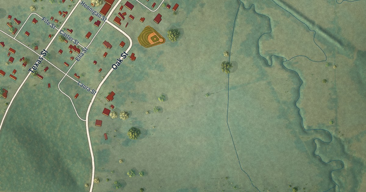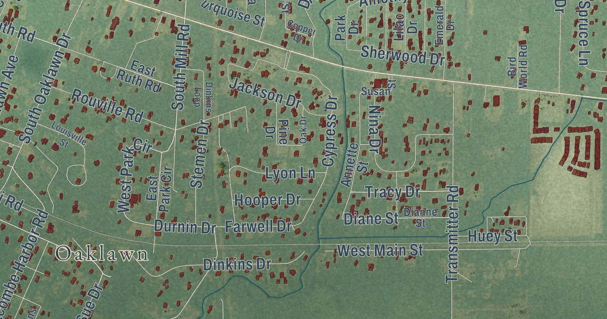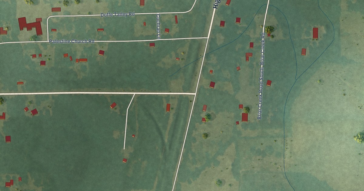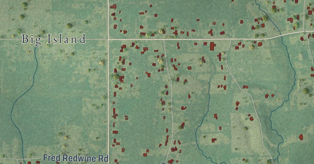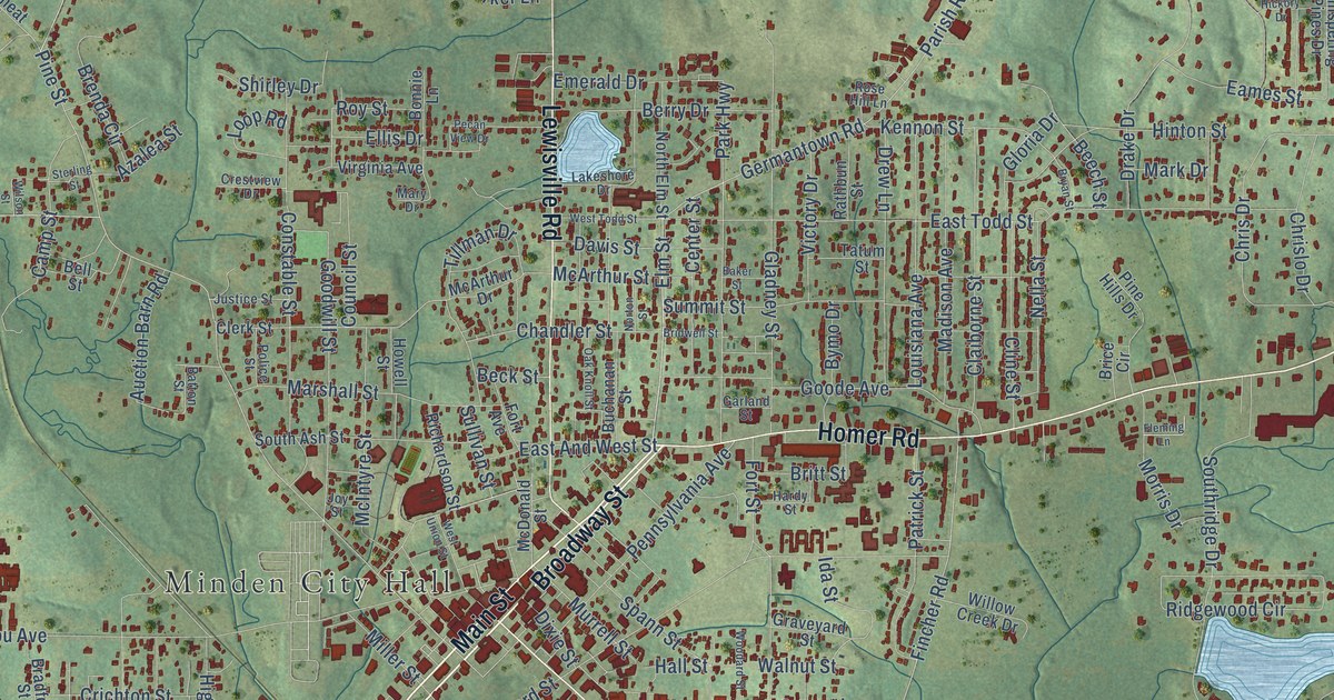
This beautifully detailed map of Minden, Louisiana was created in 2026 using aerial imagery combined with modern topographical, census, street and landmark data. It’s a one-of-a-kind view of Minden that combines accurate data with a vintage aesthetic. The map shows every building in its true location, many of the roads carry their names, and the shaded topographic relief shows the shape of the land.
Explore an aerial view of Minden, Louisiana
On the map you’ll find Minden City Hall, along with Shreveport Road, Main Street, Broadway Street, East Union Street, Homer Road, Sibley Road, Lewisville Road, Elm Street, Fincher Road, Germantown Road, Pine Street, and more. If you look closely you can even find your house accurately drawn in its correct location. Zoom in on the preview to look for yours.
Did you know this piece of Minden, Louisiana history?
From the Century Historical Association: "The pioneer settler of Minden was a locksmith named Deck, who located in the vicinity in 1822."
Take a closer look at the Minden map
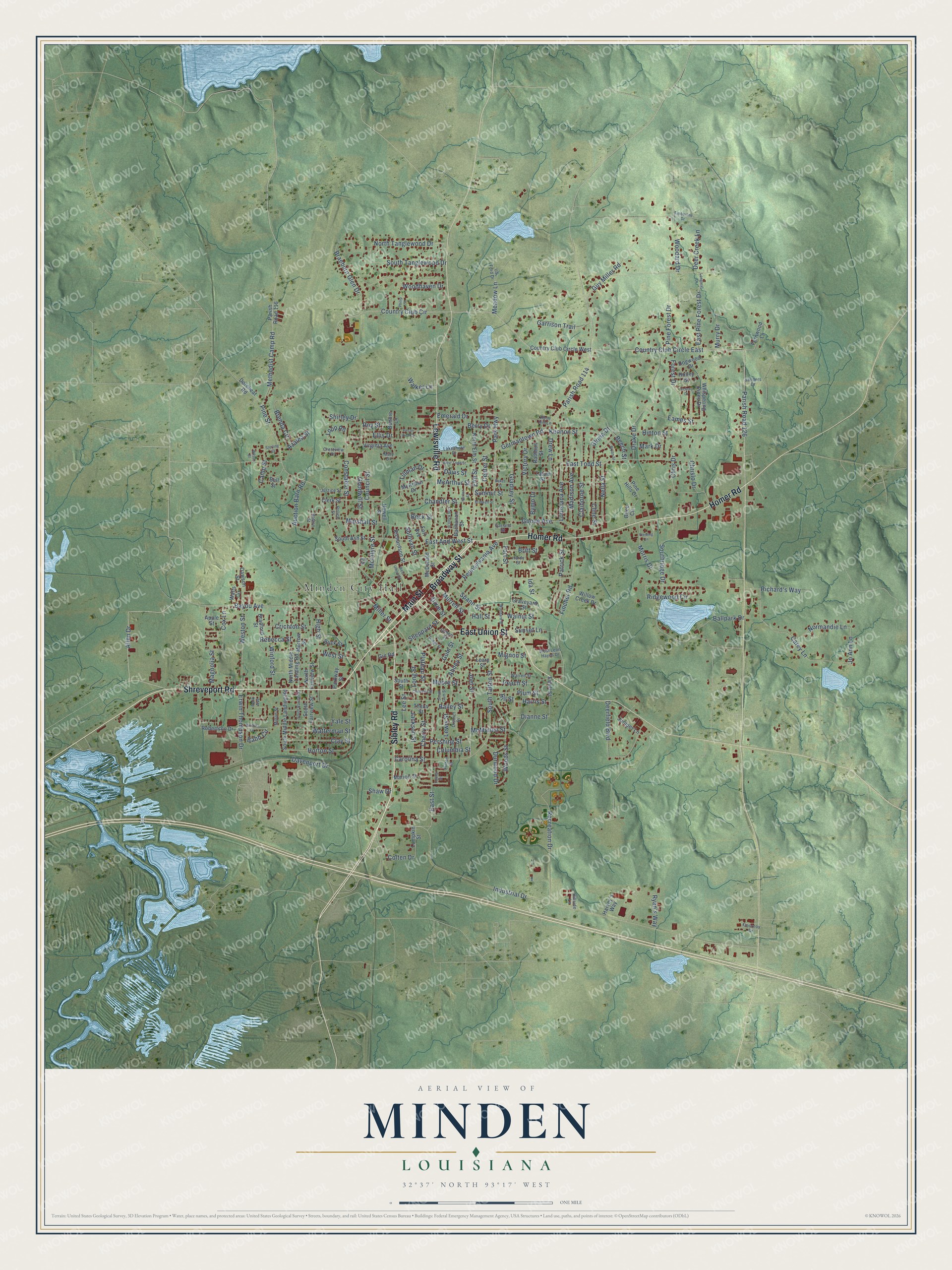
Street and place names on the Minden, Louisiana map
These names are printed on the map of Minden, Louisiana.
Places: Minden City Hall.
Streets and roads: Shreveport Road, Main Street, Broadway Street, East Union Street, Homer Road, Sibley Road, Lewisville Road, Elm Street, Fincher Road, Germantown Road, Pine Street, West Street.
More street names, A to Z
Abney Street, Allen Drive, Apple Street, Auction Barn Road, Azalea Street, Babb Circle, Bailey Street, Baker Street, Ballpark Drive, Barbara Drive, Batton Street, Bayou Avenue, Beck Street, Beech Street, Bell Street, Berry Drive, Bonnie Lane, Bradford Street, Braeburn Glen Drive, Brenda Circle, Brice Circle, Bridwell Street, Britt Street, Bryan Street, Buchanan Street, Buck Street, Bymo Drive, Camp Street, Carey Lane, Carolina Street, Center Street, Chandler Street, Cherry Street, Chestnut Street, Chris Drive, Chrislo Drive, Claiborne Street, Clay Street, Clerk Street, Cline Street, Colten Drive, Columbia Street, Constable Street, Council Street, Country Club Circle, Country Club Circle East, Country Club Circle West, Cox Lane, Crestview Drive, Crichton Street, Davenport Drive, Davis Street, Dawson Street, Deer Creek Lane, Deerfield Boulevard, Dianne Street, District Drive, Dixie Street, Dodge Street, Dogwood Drive, Dorcheat Road, Drake Drive, Drew Lane, Durwood Drive, Eames Street, East And West Street, East Pine Forest Drive, East Street, East Todd Street, Ellis Drive, Emerald Drive, Erwin Thompson Drive, Ewell Street, Fernwood Lane, Fleming Lane, Flournoy Drive, Forest Drive, Fort Avenue, Fort Street, Fulton Street, Garland Street, Garrison Trail, Gilbert Street, Gin Road, Gladney Street, Gloria Drive, Goode Avenue, Goodwill Street, Graveyard Street, Gum Street, Guy Miller Road, Hall Street, Hardy Street, Harris Street, Harvey's Way, Hickory Drive, High Street, Hillside Lane, Hill Street, Hinton Street, Holley Street, Horton Street, Howell Street, Ida Street, Industrial Drive, Jackson Street, Jo Ann Lane, Joel Street, Joy Street, Juniper Lane, Justice Street, Kennon Street, Lakeshore Drive, Leary Street, Lee Street, Lewis Street, Longleaf Drive, Long Street, Loop Road, Louisiana Avenue, Lumpkin Street, Madison Avenue, Magnolia Street, Marion Street, Mark Drive, Marshall Street, Mary Drive, McArthur Drive, McArthur Street, McDonald Street, McIntyre Street, McMullen Street, Meadow Lane, Methodist Camp Road, Mignon Street, Miller Street, Milton Street, Moore Street, Morris Drive, Morrow Street, Murrell Street, Murry Drive, Nella Street, Normandie Lane, North Elm Street, North Fairview Street, North Middle Landing Road, North Tanglewood Drive, Norton Street, Oak Knoll Street, Parish Road 114, Parish Road 116, Parish Road 126, Park Avenue, Park Highway, Parkway Street, Patrick Street, Peach Street, Pecan View Drive, Pennsylvania Avenue, Pershing Street, Philip Street, Pine Forest Drive, Pine Hills Drive, Plateau Street, Plum Street, Police Street, Rathbun Street, Rebecca Street, Recreation Drive, Richard's Way, Richardson Street, Ridgewood Circle, Robertson Drive, Rose Hill Lane, Roy Street, Ryan's Way, Sanders Drive, Shaw Drive, Sheppard Street, Shirley Drive, South Ash Street, South Fairview Street, South Gum Street, South Middle Landing Road, South Randall Street, Southridge Drive, South Street, South Talton Street, South Tanglewood Drive, Spann Street, Sterling Street, Sullivan Street, Summit Street, Sunset Lane, Tatum Street, Theus Street, Tillman Drive, Timberline Drive, US Ford Drive, Victory Drive, Virginia Avenue, Walker Lane, Walnut Street, Warren Street, Watterman Street, Watts Circle, West Leon Hayes Drive, Weston Street, West Todd Street, West Union Street, Whispering Pines Drive, Willow Creek Drive, Wilson Street, Winford Street, Woodard Drive, Woodard Street, Woodhaven Drive, Woods Street, Yale Street, Young Street.
See the Minden, Louisiana map on a wall
The Minden map as an 18 x 24 inch print in a black frame.

This beautifully detailed map of Minden makes an attractive addition to your office, library, or den, and it can even be used to teach children the geography and history of the area. It also makes a great gift for anyone who grew up in Minden or moved away. When you’re done exploring, click here to get your copy of the Minden map.