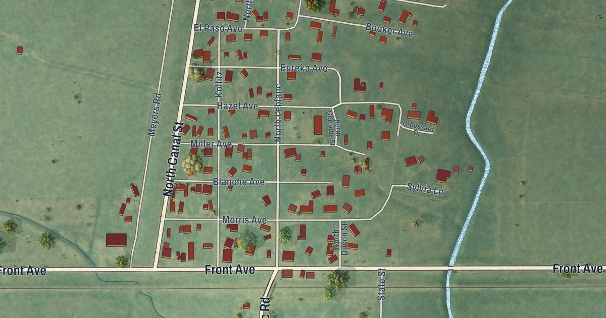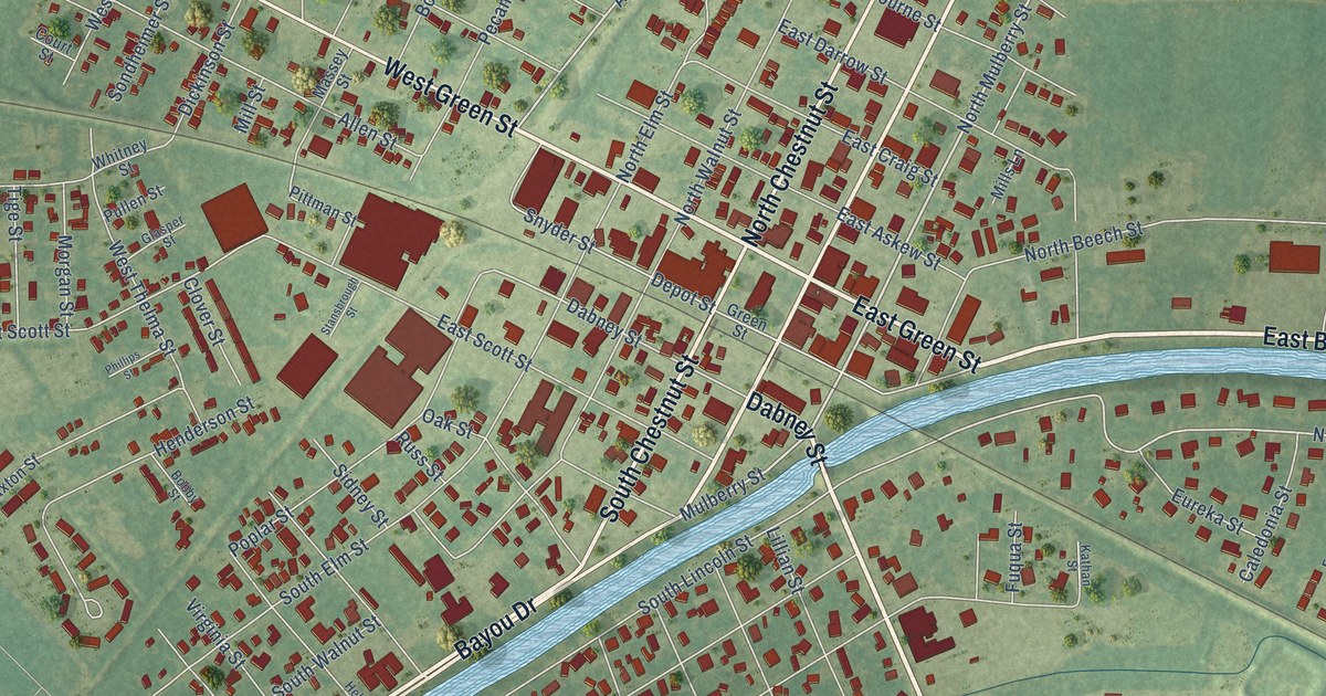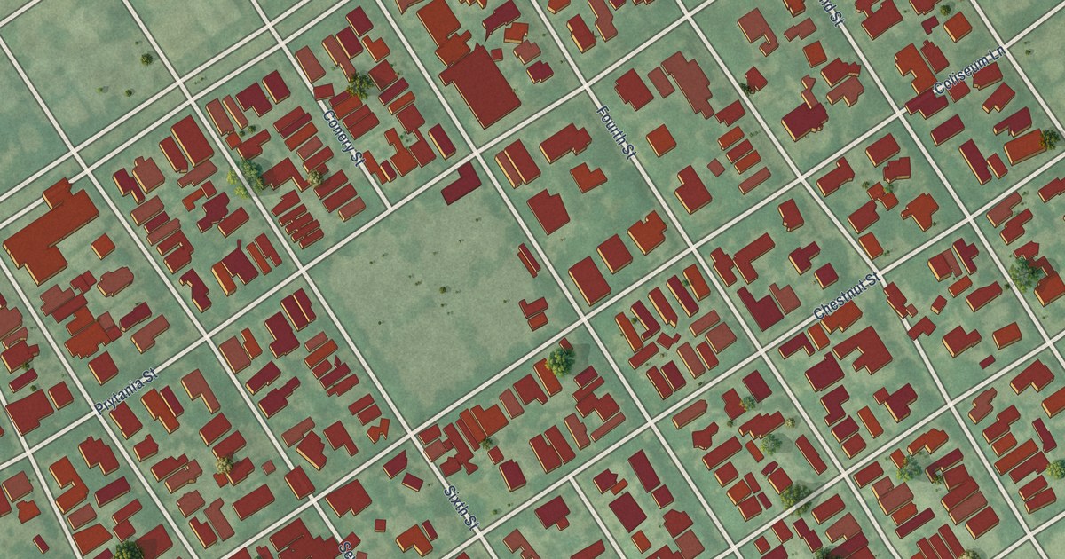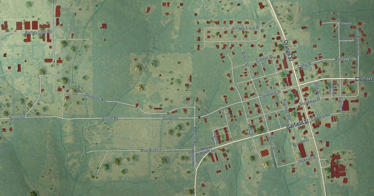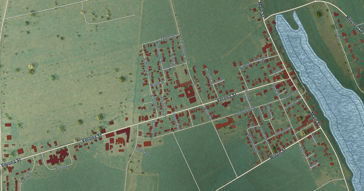
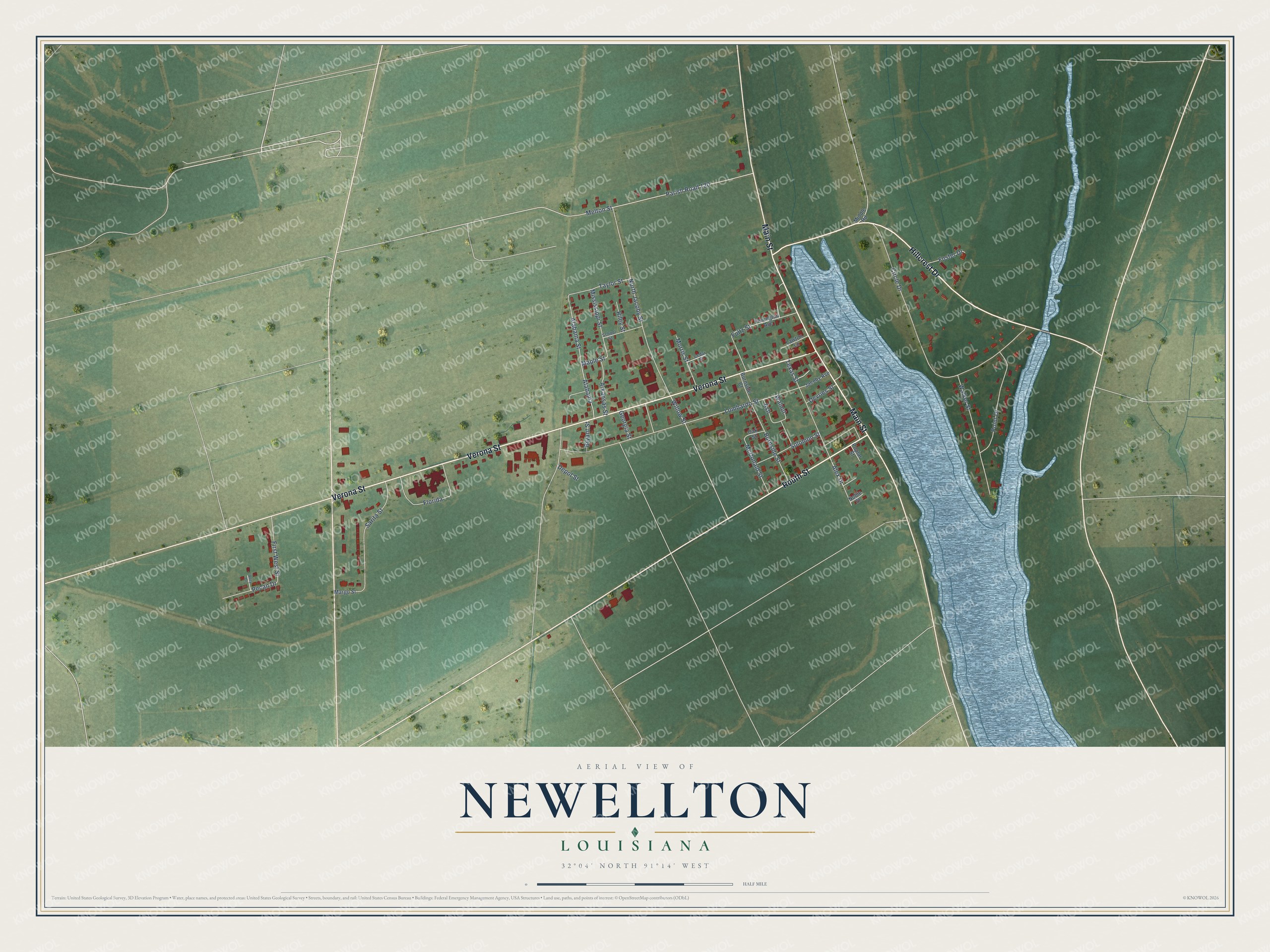
This beautifully detailed map of Newellton, Louisiana was created in 2026 using aerial imagery combined with modern topographical, census, street and landmark data. It's a modern aerial view of Newellton in Tensas Parish, Louisiana, that combines modern data with a vintage aesthetic. The roads feature printed names, and if you look closely you can find your exact house accurately shown in its correct location.
Explore an aerial view of Newellton, Louisiana
On this map you'll find Routh Street, Hillcrest Drive, Verona Street, Main Street, Alabama Street, Maple Street, Willow Street, Alex Drive, Circle Drive, Lombardo Street, Parish Road 120, Melton Street, and more. Each red shape is a building, so zoom in on the preview and look for yours.
Newellton has a story worth telling. The National Park Service puts it this way: "The Bank of Newellton is locally significant in the area of commerce because its 1904 opening marked the arrival of banking services in the Tensas Parish village of Newellton. Until the 1890s, Louisiana's rural parishes and smaller towns had almost no banks."
Newellton is a town in Tensas Parish. The Census Bureau counted 886 people here in 2020.
Take a closer look at the Newellton map
Names on this map
These names are printed on this map.
Streets and roads: Routh Street, Hillcrest Drive, Verona Street, Main Street, Alabama Street, Maple Street, Willow Street, Alex Drive, Circle Drive, Lombardo Street, Parish Road 120, Melton Street.
More street names, A to Z
Alabama, Alley Drive, Arkansas Street, Ash, Bryant Street, Burnside Court, Burnside Street, Cedar Street, Depot Street, Devries Street, Ferrington Avenue, First West Street, Florida, Foster Drive, Fultz Street, Georgia Street, Jacoby Avenue, Lawton Lane, Margo Street, McDonald Street, Middle Road, Mississippi Street, Morris Street, Noble Street, North Jacoby Street, Oak Street, Pecan Drive, Point Drive, Poplar Street, Riley Street, Sarita Street, School Street, Solomon Street, Taylor Street, Texas Street, Walker Street, Walnut.
Created by KNOWOL in 2026. The buildings are small red shapes, the roads carry their printed names, and shaded relief shows the shape of the land. The title panel reads "AERIAL VIEW OF NEWELLTON LOUISIANA" with 32°04' NORTH 91°14' WEST.
It looks right in a kitchen, an office or a den, and it's a gift for anyone who grew up in Newellton or moved away. Open the preview and find your street. See sizes and frames for the Newellton map.