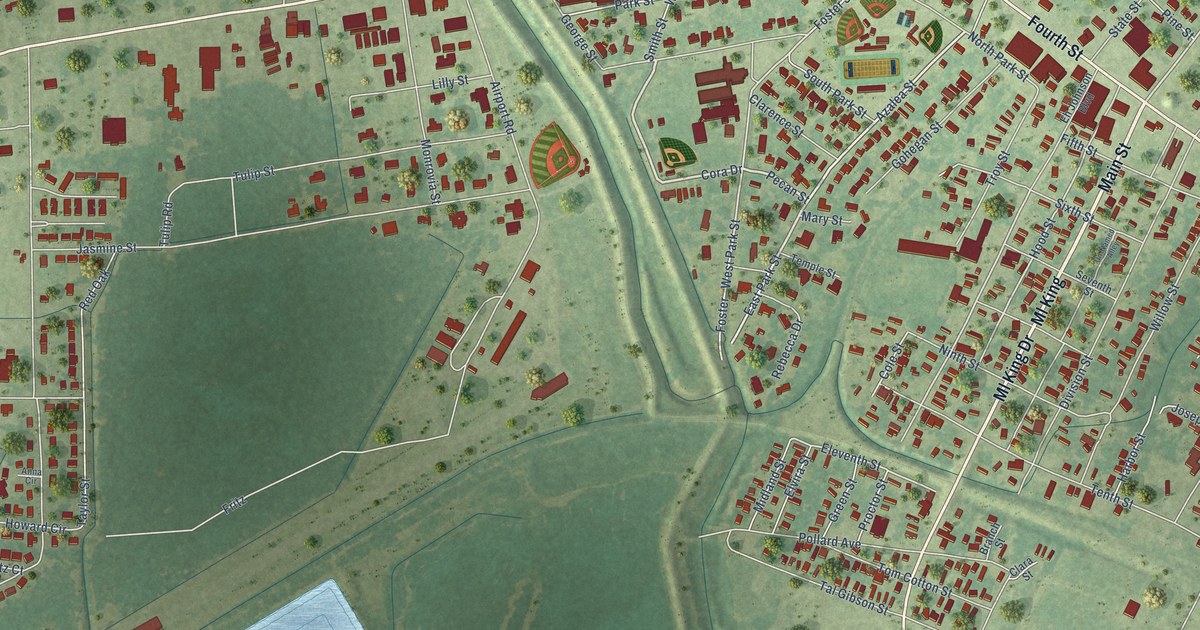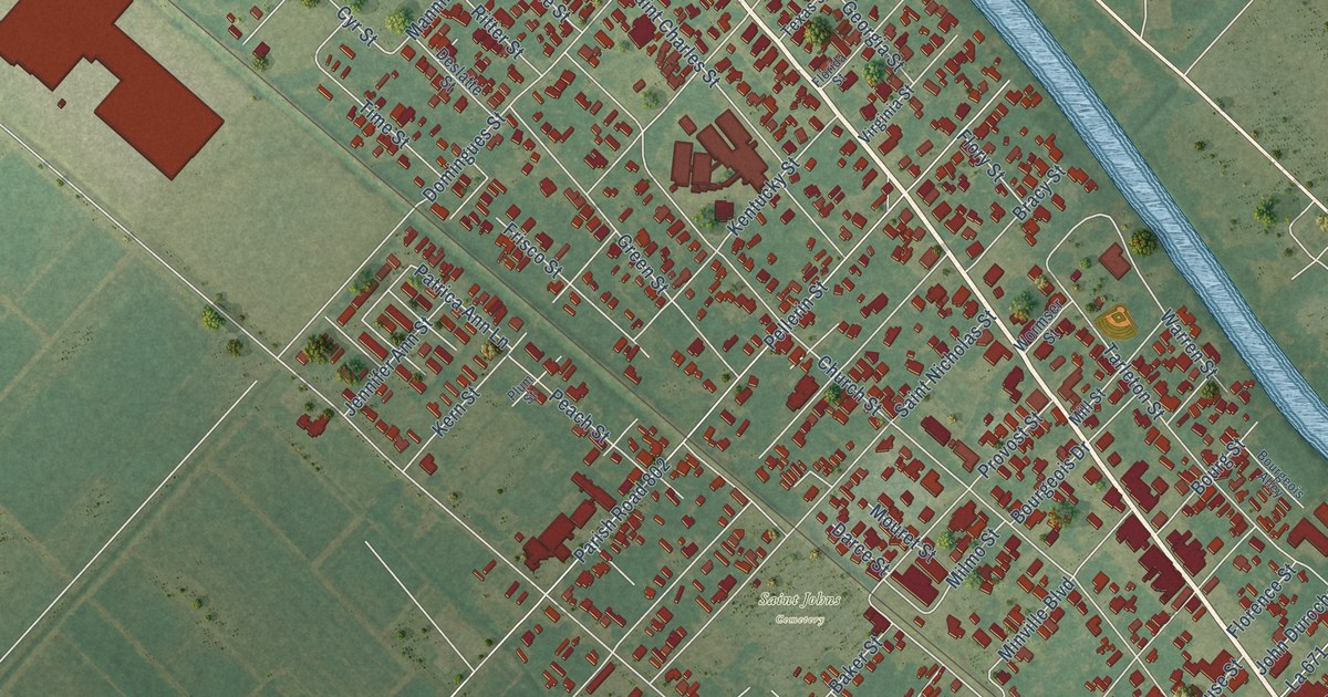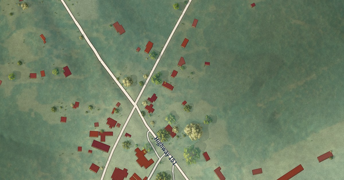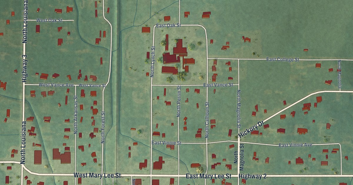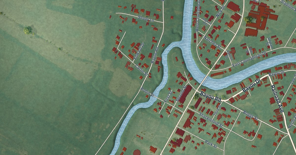
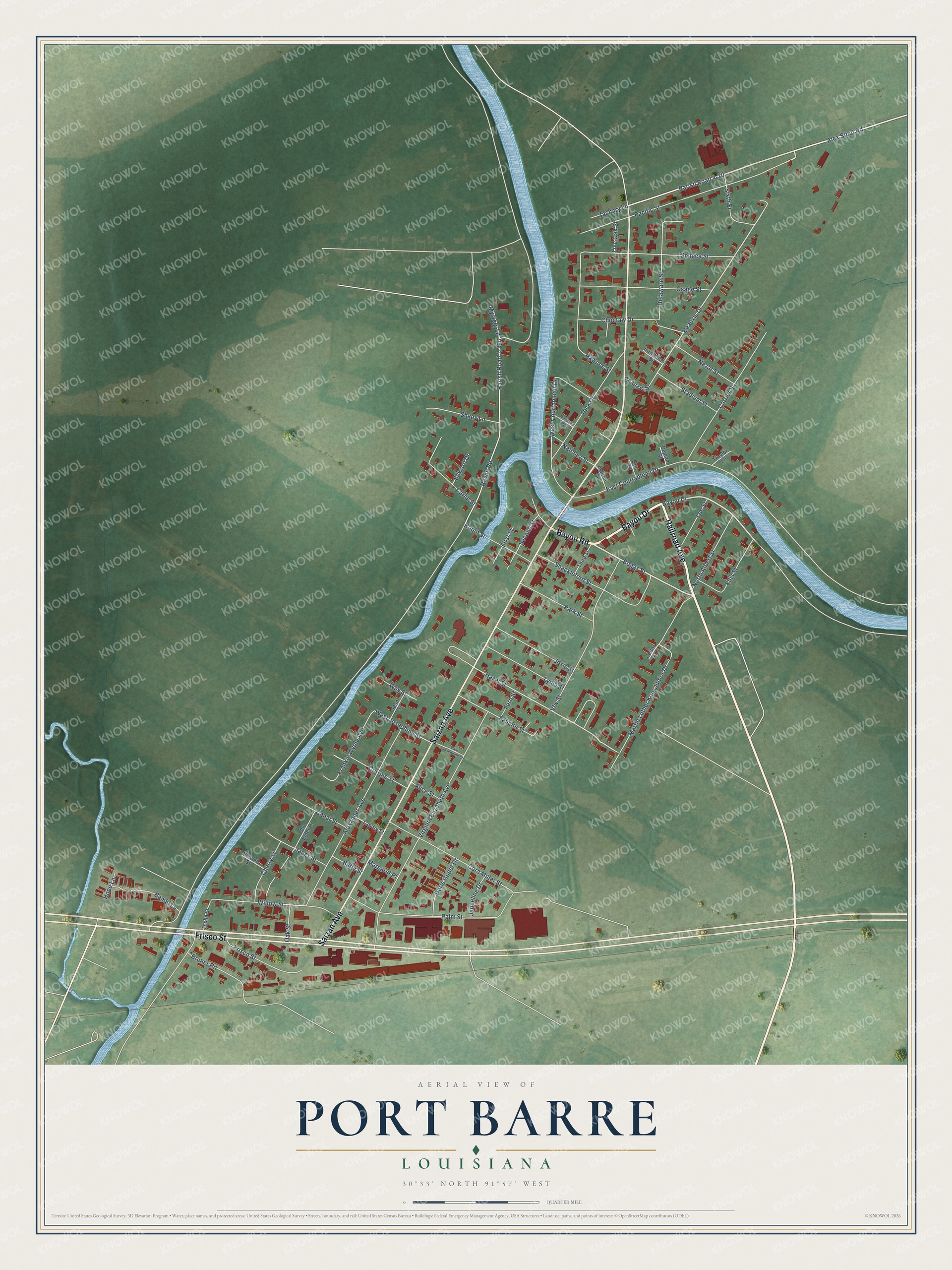
This beautifully detailed map of Port Barre, Louisiana was created in 2026 using aerial imagery combined with modern topographical, census, street and landmark data. It's a modern aerial view of Port Barre in St. Landry Parish, Louisiana, that combines modern data with a vintage aesthetic. The roads feature printed names, and if you look closely you can find your exact house accurately shown in its correct location.
Explore an aerial view of Port Barre, Louisiana
On this map you'll find Bayou Drive, Bayou Road, Railroad Avenue, Saizan Avenue, Frisco Street, Boggs Street, Alex Stout Road, Parish Road 4-20, Parish Road 1-360, Beauxis Drive, Mystery Lane, Hazel Street, and more. Each red shape is a building, so zoom in on the preview and look for yours.
Port Barre is a town in St. Landry Parish. The Census Bureau counted 1,751 people here in 2020. The map prints the town name in its title panel, with the coordinates below it.
Take a closer look at the Port Barre map
Names on this map
These names are printed on this map.
Streets and roads: Bayou Drive, Bayou Road, Railroad Avenue, Saizan Avenue, Frisco Street, Boggs Street, Alex Stout Road, Parish Road 4-20, Parish Road 1-360, Beauxis Drive, Mystery Lane, Hazel Street.
More street names, A to Z
Alexander Avenue, Alice Street, Ashton Street, Bambi Lane, Beauxis Street, Betty Street, Bruner Road, Canal Street, Carlin Street, Carrier Street, Cedar Lane, Cherry Street, Choctaw Drive, Cora Miller Street, Corrine Street, Dejean Street, Delaware Street, Doris Godet Drive, East Courtableau Drive, East Josephine Street, Edward Drive, Ellis Street, Felicite Street, Fern Street, First Street, Frankie Wyble Avenue, Hope Lane, Janes Street, Jaqueline Drive, Jean Street, Joe Elder Drive, Josie Street, Landry Street, Lee Street, Live Oak Street, Lydia Street, Magnolia Alley, Margaret Place, Martin Luther King Junior Drive, Mill Street, Natchez Street, Nezat Street, Nick Drive, North Albert Street, Oak Street, Osage Street, Pacific Street, Palm Street, Park Street, Pawnee Street, Powhatan Street, Rayne Road, Robin Street, Russell Street, Second Street, Seneca Street, Shackleford Street, Shady Lane, Sixth Street, Stadium Street, Teche Street, Third Street, Traylor Lane, Vfw Street, Virginia Elizabeth Avenue, Way Street, West Courtableau Drive, West Josephine Street, Willow Street, Zachary Lane.
Created by KNOWOL in 2026. The buildings are small red shapes, the roads carry their printed names, and shaded relief shows the shape of the land. The title panel reads "AERIAL VIEW OF PORT BARRE LOUISIANA" with 30°33' NORTH 91°57' WEST.
It suits a den, a classroom or a front hall, and it makes a gift for anyone with Port Barre roots. Open the preview and find the block you know. See sizes and frames for the Port Barre map.