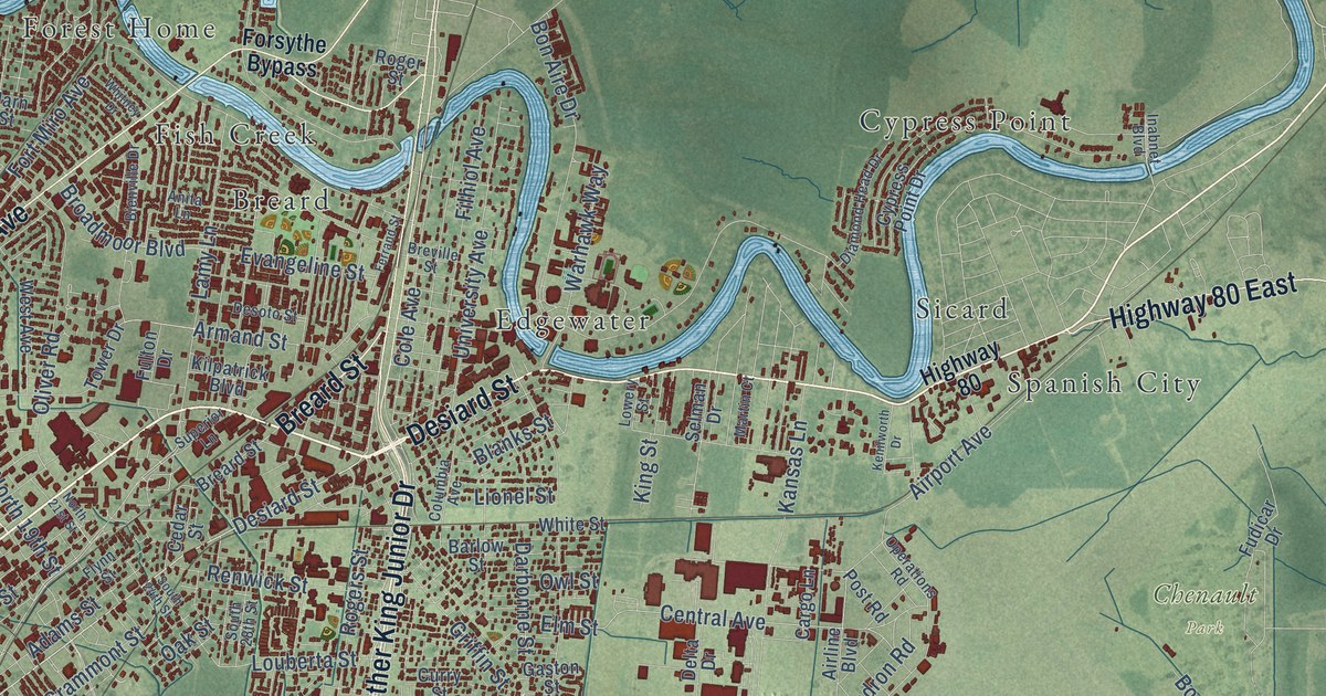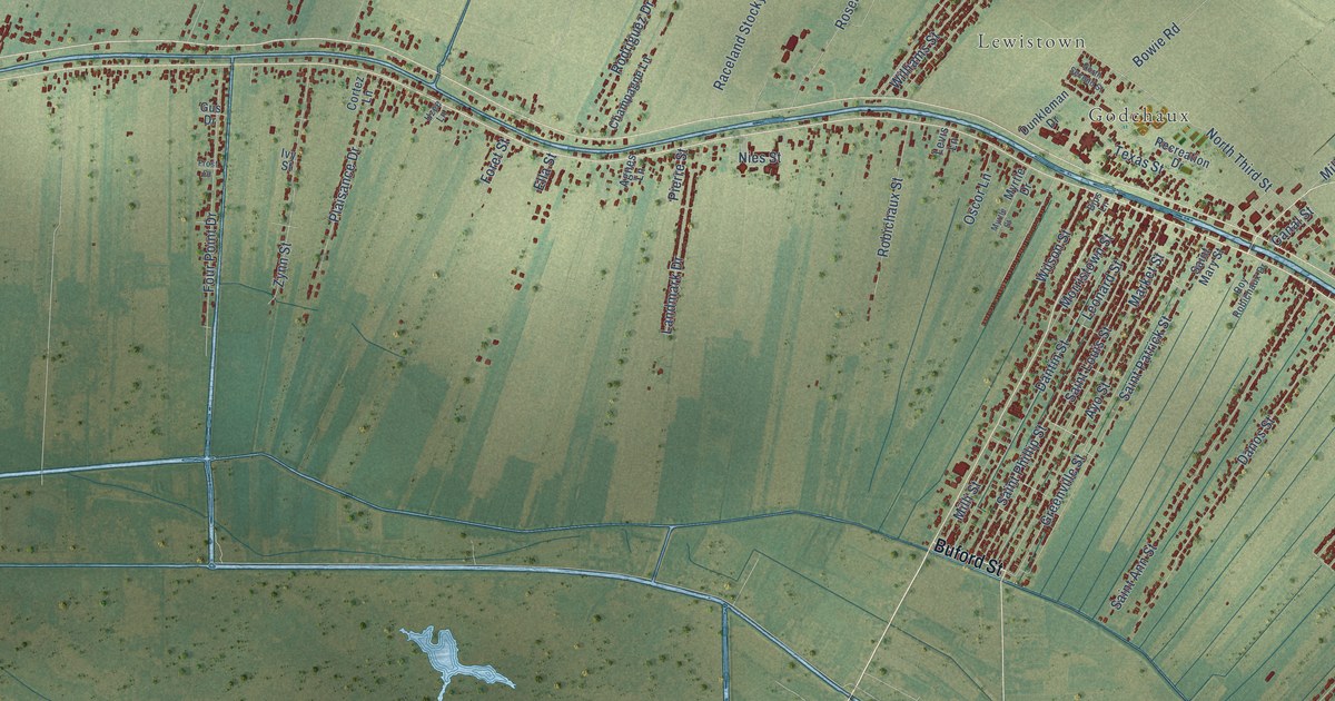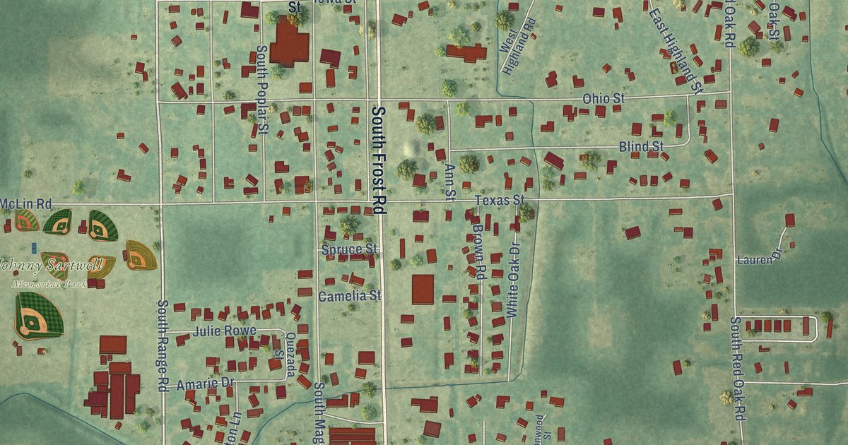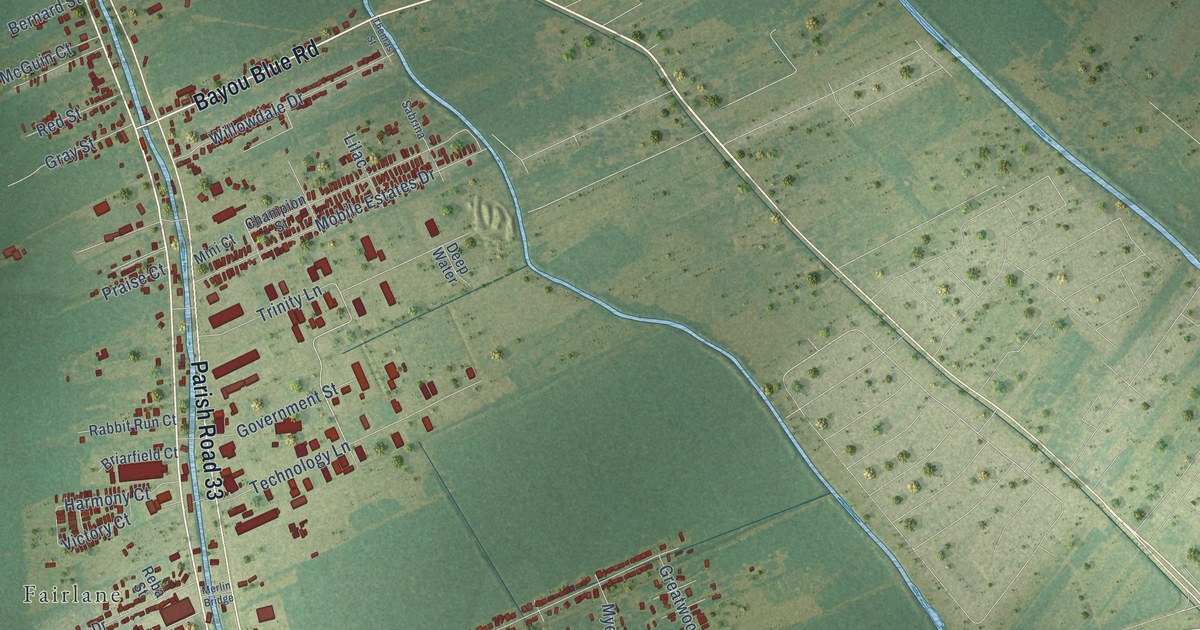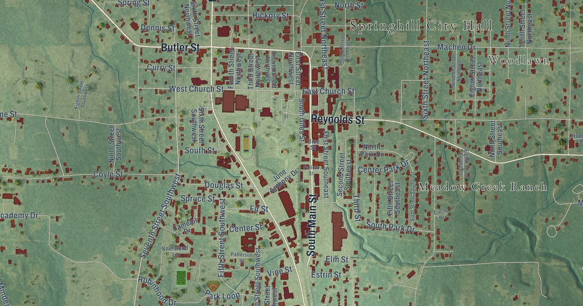
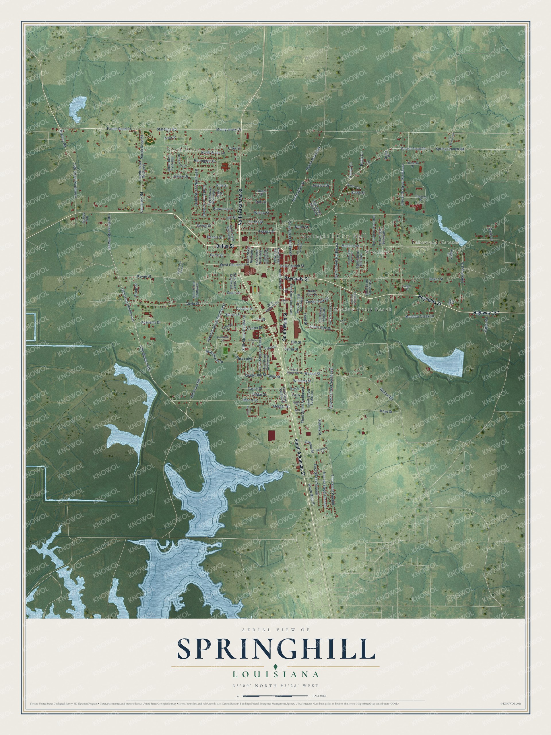
This beautifully detailed map of Springhill, Louisiana was created in 2026 using aerial imagery combined with modern topographical, census, street and landmark data. It's a modern aerial view of Springhill in Webster Parish, Louisiana, that combines modern data with a vintage aesthetic. The roads feature printed names, and if you look closely you can find your exact house accurately shown in its correct location.
Explore an aerial view of Springhill, Louisiana
On this map you'll find Springhill City Hall, North Acres, Lakewood Estates, Woodlawn, Meadow Creek Ranch, Butler Street, North Arkansas Street, South Arkansas Street, South Main Street, Reynolds Street, Highway 157, 14th Street Southwest, and more. Each red shape is a building, so zoom in on the preview and look for yours.
Springhill has a story worth telling. The Century Historical Association puts it this way: "Springhill, a village and station in the northwestern part of Webster parish, is situated on the Louisiana & Arkansas R. R., about 27 miles northwest of Minden, the parish seat."
Springhill is a city in Webster Parish. The Census Bureau counted 4,801 people here in 2020.
Take a closer look at the Springhill map
Names on this map
These names are printed on this map.
Places: Springhill City Hall, North Acres, Lakewood Estates, Woodlawn and Meadow Creek Ranch.
Streets and roads: Butler Street, North Arkansas Street, South Arkansas Street, South Main Street, Reynolds Street, Highway 157, 14th Street Southwest, 14th Street Northwest, Mill Pond Road, Parish Road 21, Stateline Road, Seventh Street Southwest.
More street names, A to Z
15th Street Northwest, Academy Drive, Angela Drive, Arkla Drive, Baker Street, Beck Street, Benefield Street, Bice Street, Bradley Road, Brady Street, Browning Drive, Camelot Drive, Carter Road, Cemetery Road, Center Park Drive, Center Street, Circle Drive, Cobb Street, Coyle Street, Crow Drive, Curry Street, Davis Street, Dennis Street, Doctors Drive, Douglas Street, Dudley Street, East Church Street, Edgar Street, Eighth Street Northeast, Eighth Street Northwest, Eighth Street Southeast, Eighth Street Southwest, Eleventh Street Northeast, Elm Street, Estrin Street, Fifth Street Northeast, Fifth Street Southeast, Fifth Street Southwest, Fir Street, First Street Northeast, First Street Northwest, First Street Pinehill, First Street Southeast, First Street Southwest, Forest Street, Fourth Street Northwest, Fourth Street Southeast, Fourth Street Southwest, Furlow Street, Gaisser Street, Hali Circle, Herrington Drive, Hickory Street, Hill Street, Hodges Street, Jackies Way, James Street, Janice Drive, Janice Drive Extended, Jessica Drive, Jeter Drive, Johnny Street, June Anthony Drive, Kaye Street, Lakewood Drive, Litt Benson Road, Machen Drive, Maple Street, Mattie Drive, Meadow Creek Drive, Miller Street, Montgomery Drive, Moore Street, Morgan Street, Ninth Street Northeast, Ninth Street Northwest, Ninth Street Southeast, Ninth Street Southwest, North Acres Circle, North Acres Lane, North Giles Street, North Park Drive, North Street, Oak Drive, Parish Road 23, Parish Road 24, Park Loop, Patterson Street, Payne Street, Penny Circle, Pine Street, Reiny Circle, Robbi Street, Robinhood Drive, Rose Bud Loop, Roy Street, Rusty Circle, Second Street Northeast, Second Street Northwest, Second Street Pinehill, Second Street Southeast, Seventh Street Northeast, Seventh Street Southeast, Shady Oak Street, Sherwood Lane, Sixth Street Northeast, Sixth Street Northwest, Sixth Street Southeast, Sixth Street Southwest, South Giles Street, South Park Drive, South Roosevelt Street, South Street, Spring Branch Road, Spring Street, Spruce Street, Taylor Street, Tenth Street Northeast, Tenth Street Northwest, Third Saint Pinehill, Third Street, Third Street Northwest, Third Street Southeast, Third Street Southwest, Thurman Street, Twelfth Street Northwest, Vine Street, Walnut Road, Walnut Street, West Church Street, Williams Street, Willow Street.
Created by KNOWOL in 2026. The buildings are small red shapes, the roads carry their printed names, and shaded relief shows the shape of the land. The title panel reads "AERIAL VIEW OF SPRINGHILL LOUISIANA" with 33°00' NORTH 93°28' WEST.
It looks right in a kitchen, an office or a den, and it's a gift for anyone who grew up in Springhill or moved away. Open the preview and find your street. See sizes and frames for the Springhill map.