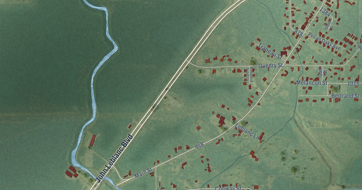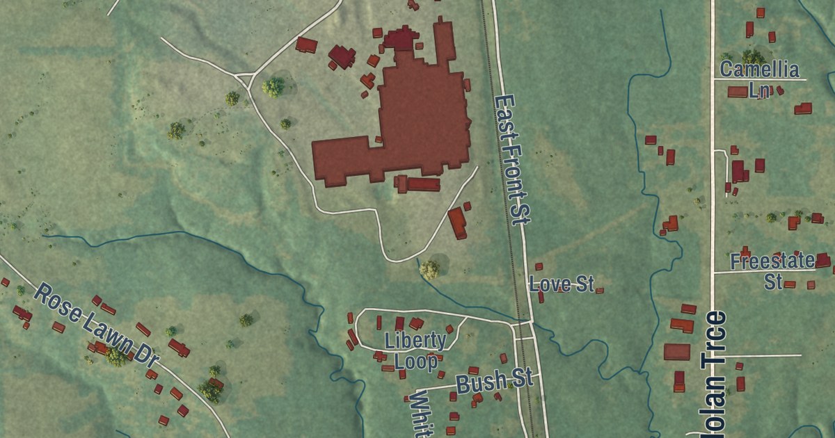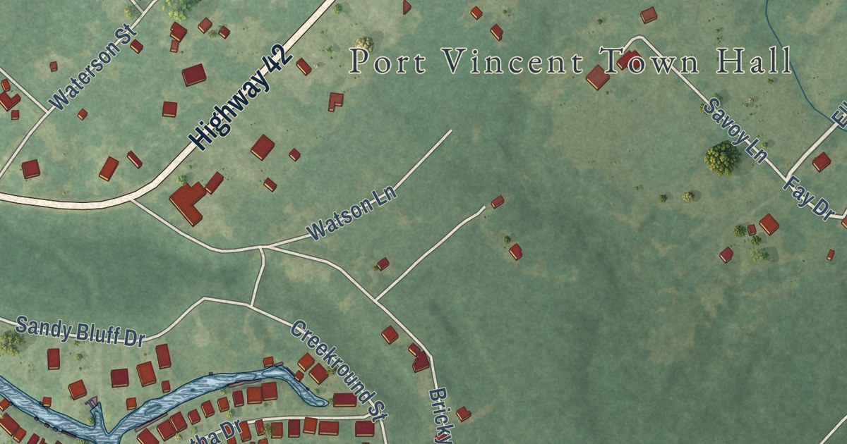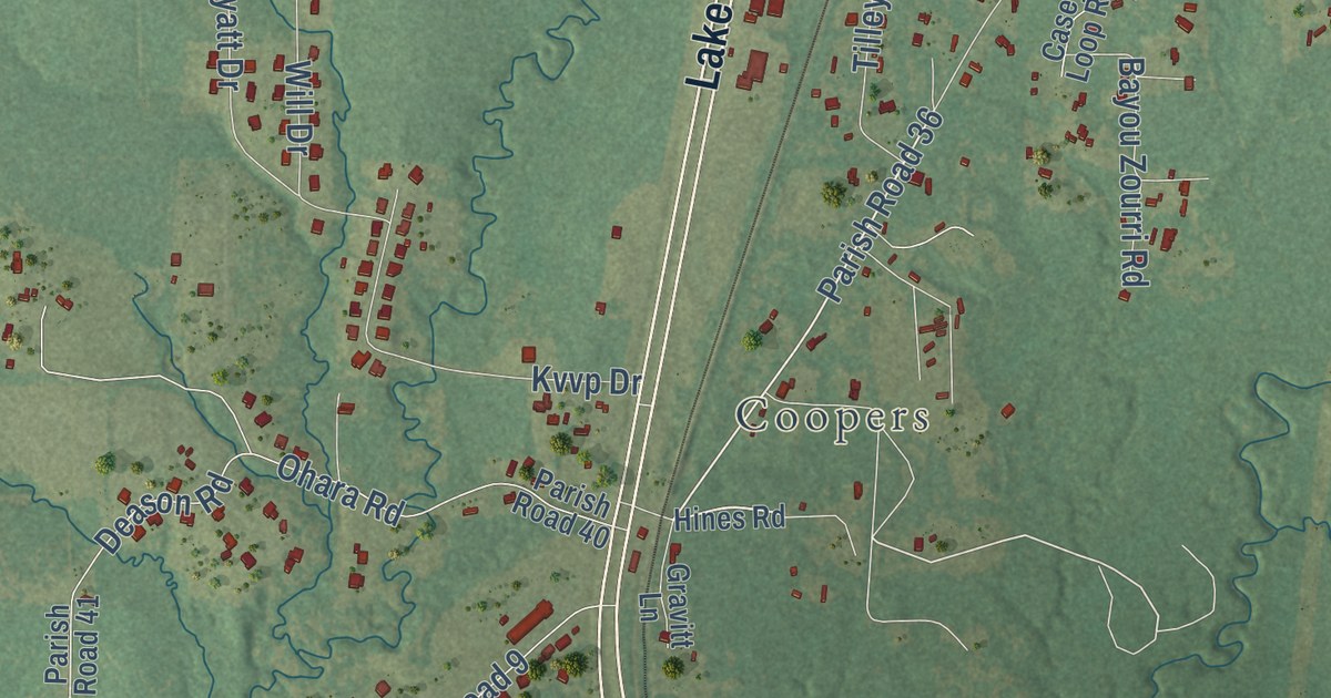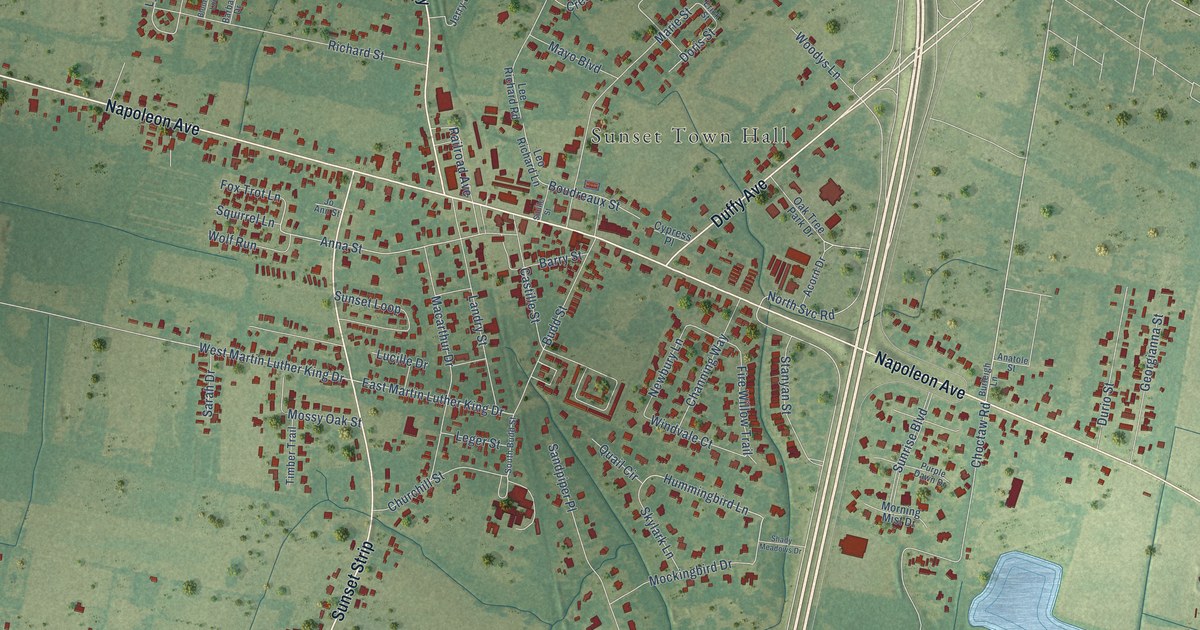
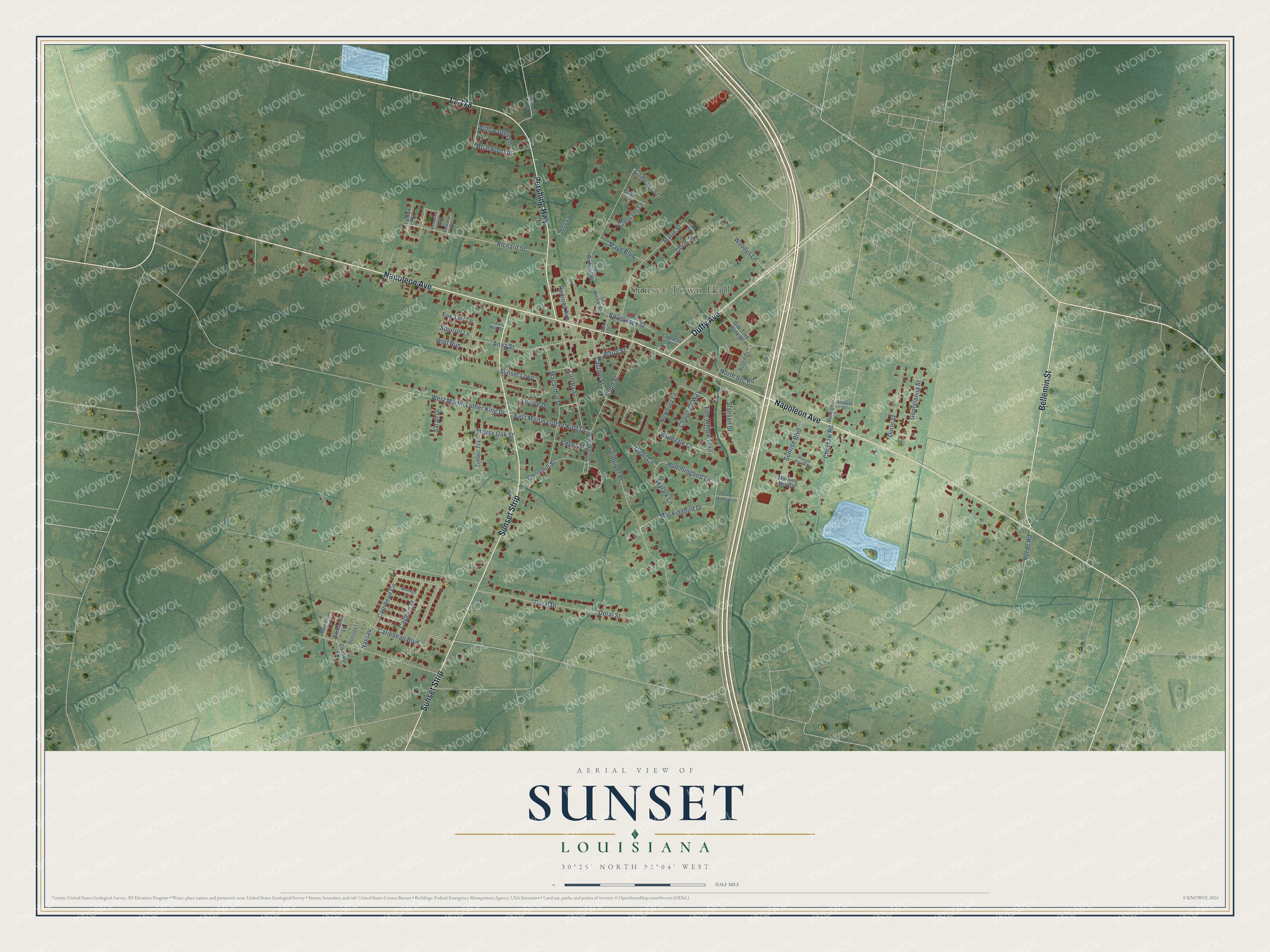
This beautifully detailed map of Sunset, Louisiana was created in 2026 using aerial imagery combined with modern topographical, census, street and landmark data. It’s a one-of-a-kind view of Sunset that combines accurate data with a vintage aesthetic. The map shows every building in its true location, many of the roads carry their names, and the shaded topographic relief shows the shape of the land.
Explore an aerial view of Sunset, Louisiana
On the map you’ll find Sunset Town Hall, La 178, and Sunset Strip, along with Napoleon Avenue, Pershing Highway, Bellemin Street, Duffy Avenue, Briarwood Drive, West Martin Luther King Drive, East Martin Luther King Drive, Anna Street, Hummingbird Lane, and more. If you look closely you can even find your house accurately drawn in its correct location. Zoom in on the preview to look for yours.
Did you know this piece of Sunset, Louisiana history?
From the St. Landry Parish Tourist Commission: "The railroad through Sunset was finally completed in the 1880s, and businesses began to spring up around the depot."
Take a closer look at the Sunset map
Street and place names on the Sunset, Louisiana map
These names are printed on the map of Sunset, Louisiana.
Places: Sunset Town Hall.
Streets and roads: La 178, Napoleon Avenue, Sunset Strip, Pershing Highway, Bellemin Street, Duffy Avenue, Briarwood Drive, West Martin Luther King Drive, East Martin Luther King Drive, Anna Street, Hummingbird Lane, Caribbean Boulevard.
More street names, A to Z
Acorn Drive, Anatole Street, Barbados Lane, Barbara Drive, Barry Street, Bloomfield Loop, Boudreaux Street, Budd Street, Burleigh Lane, Carribean Circle, Castille Street, Caymen Street, Channing Way, Choctaw Road, Churchill Street, Circle Drive, Comeaux Street, Country Lane, Crescent Lane, Cypress Place, Doral Drive, Doral Street, Doris Street, Durio Street, Erick Street, Fire Willow Trail, Fox Trot Lane, Georgianna Street, Grenada Lane, Jerry Lane, Jo Ann Street, Landry Street, Lee Richard Road, Leger Street, Leo Richard Lane, Lucille Drive, Lyman Drive, Macarthur Drive, Marie Street, Martinique Lane, Mayo Boulevard, Mockingbird Drive, Montego Lane, Morning Mist Drive, Mossy Oak Street, Muscadine Road, Nassau, Newbury Lane, North Svc Road, Oak Tree Park Drive, Potier Road, Purple Dawn Drive, Quail Circle, Railroad Avenue, Richard Street, Sandpiper Place, Sarah Drive, Shady Meadows Drive, Sibille Street, Skylark Lane, South Budd Street, Squirrel Lane, Stanyan Street, Sunrise Boulevard, Sunset Loop, Timber Trail, Willow Glen Lane, Windvale Court, Wolf Run, Woodys Lane.
See the Sunset, Louisiana map on a wall
The Sunset map as an 18 x 24 inch print in a black frame.

This beautifully detailed map of Sunset makes an attractive addition to your office, library, or den, and it can even be used to teach children the geography and history of the area. It also makes a great gift for anyone with Sunset roots. When you’re done exploring, click here to get your copy of the Sunset map.