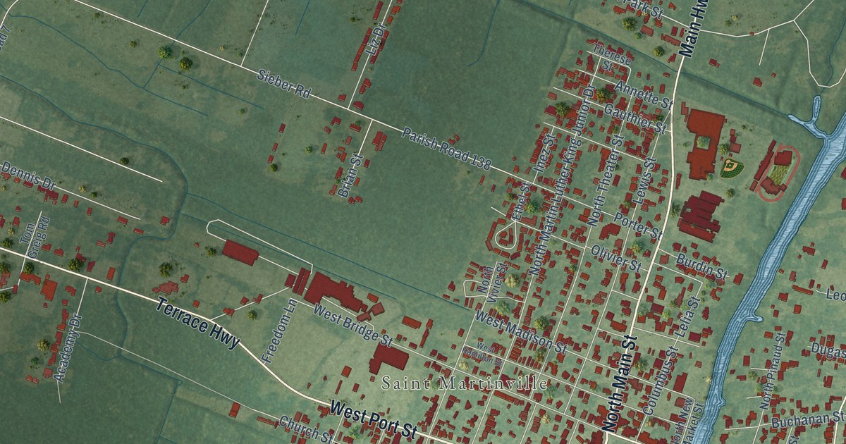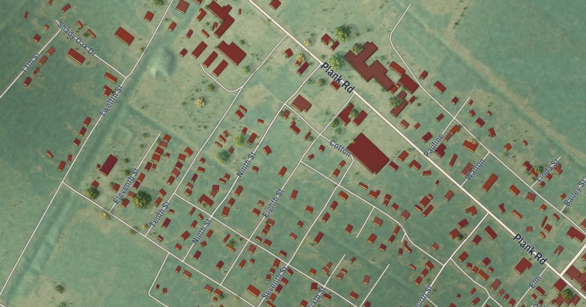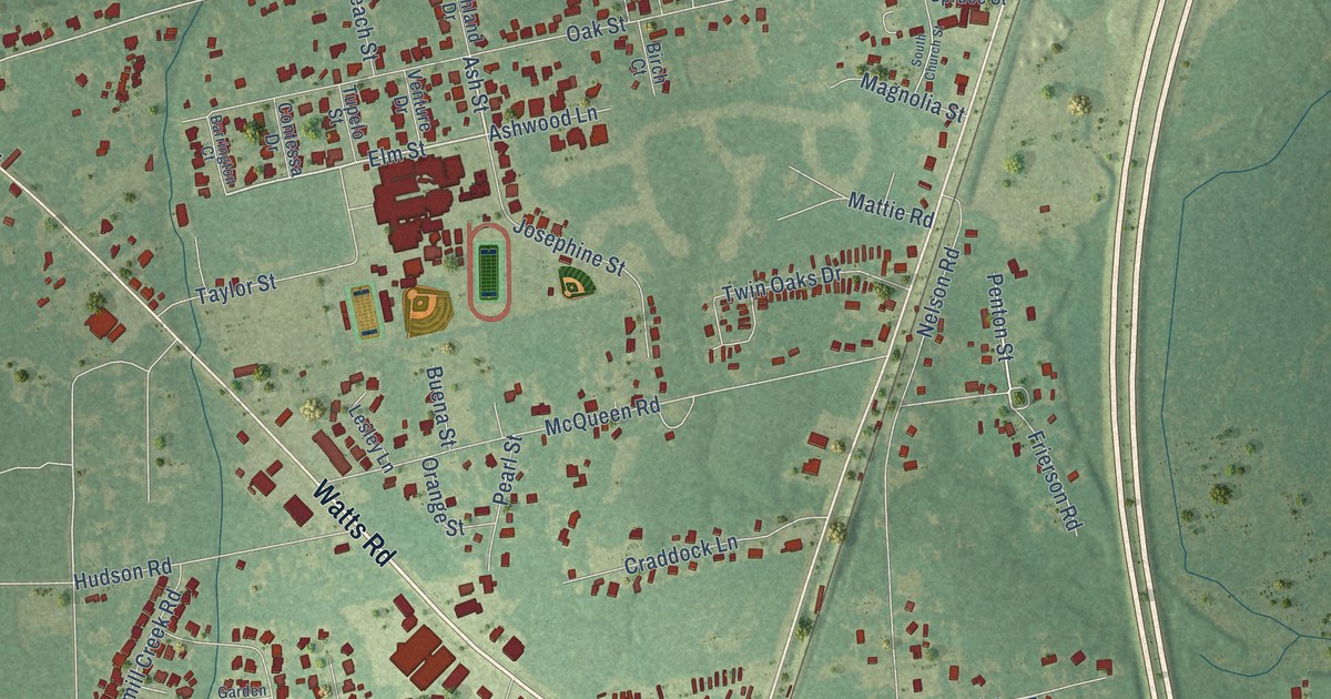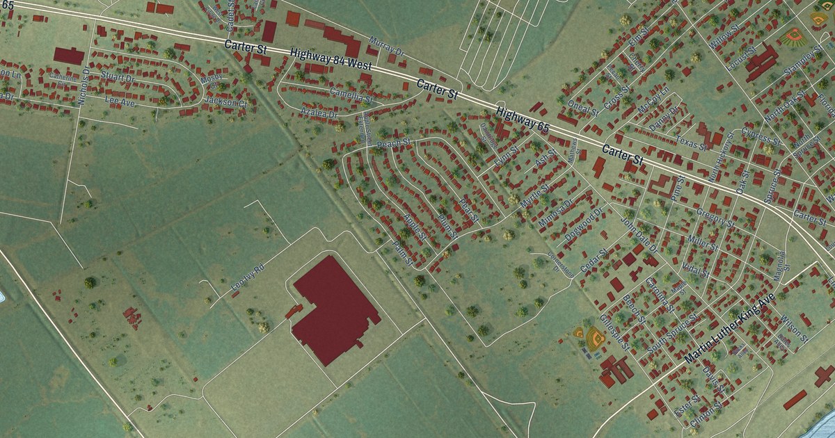
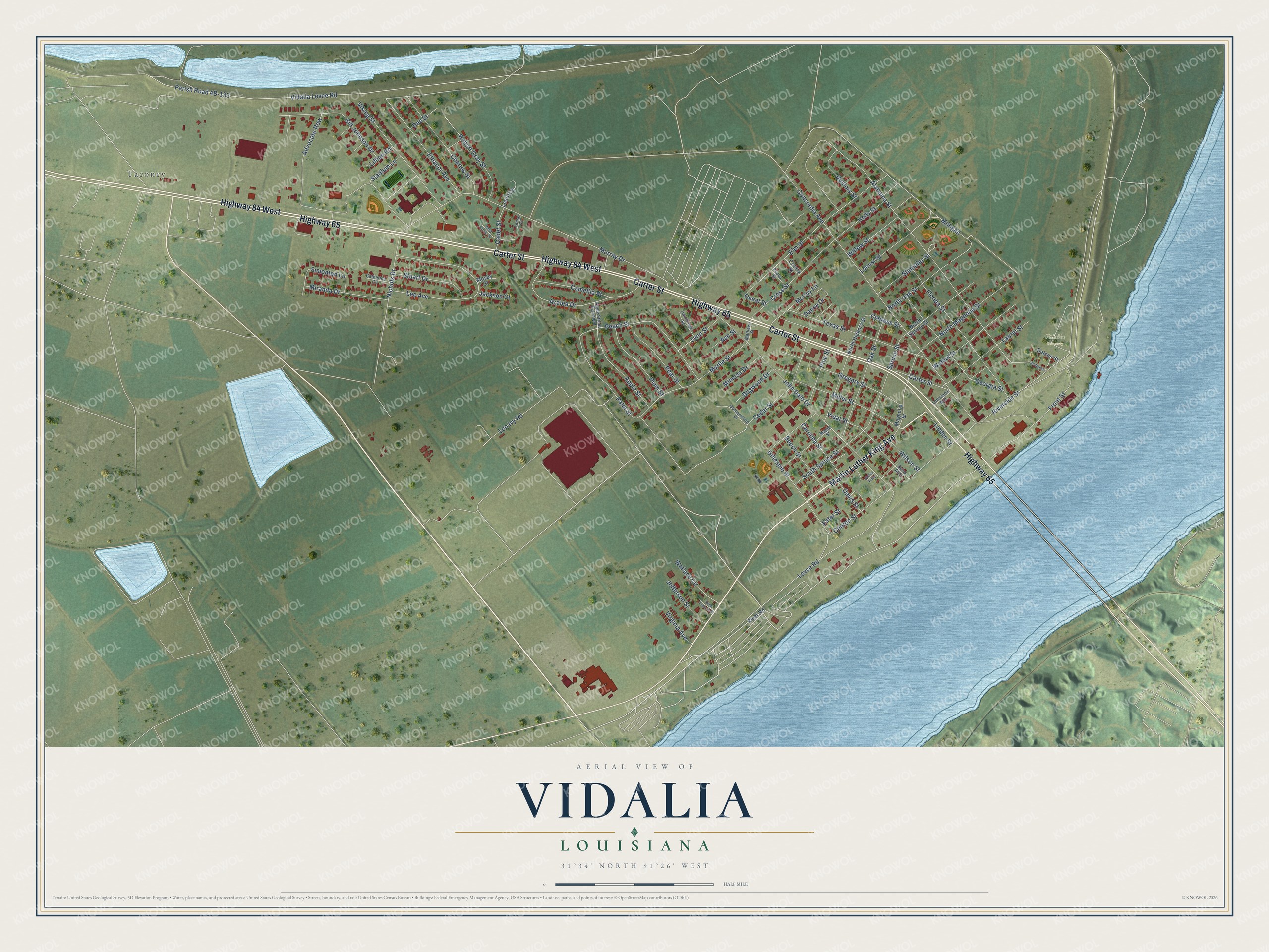
This beautifully detailed map of Vidalia, Louisiana was created in 2026 using aerial imagery combined with modern topographical, census, street and landmark data. It's a modern aerial view of Vidalia in Concordia Parish, Louisiana, that combines modern data with a vintage aesthetic. The roads feature printed names, and if you look closely you can find your exact house accurately shown in its correct location.
Explore an aerial view of Vidalia, Louisiana
On this map you'll find Vidalia Cemetery, Taconey, Martin Luther King Avenue, Carter Street, Highway 65, Highway 84 West, Levee Road, North Magnolia Street, Front Street, Peach Street, Palm Street, Gillespie Street, and more. Each red shape is a building, so zoom in on the preview and look for yours.
Every town has a first chapter, and Vidalia is no exception. The Century Historical Association puts it this way: "Vidalia, the seat of justice of Concordia parish, is situated in the northeastern part of the parish on the right bank of the Mississippi river, directly opposite the city of Natchez, Miss."
Vidalia is a town in Concordia Parish. The Census Bureau counted 4,027 people here in 2020.
Take a closer look at the Vidalia map
Names on this map
These names are printed on this map.
Places: Vidalia Cemetery and Taconey.
Streets and roads: Martin Luther King Avenue, Carter Street, Highway 65, Highway 84 West, Levee Road, North Magnolia Street, Front Street, Peach Street, Palm Street, Gillespie Street, Myrtle Street, Alabama Street.
More street names, A to Z
Advocate Row, Alabama, Apple Street, Apple Street Extended, Ash Street, Azalea Drive, Beech Street, Bill Johnson Drive, Bucks Alley, Cadet Street, Camellia Street, Carolina Street, Catherine Circle, Cedar Street, Charles Street, Cherry Street, Clinton Street, Concordia Avenue, Cornerstone Drive, Cross Street, Cypress Street, Dales Alley, Dandridge Street, Danny Drive, Davis Street, Dee Street, Dogwood Drive, Dotson Street, Eleanor Avenue, Elm Street, Ester Street, Florida Street, Georgia Street, Gregory Street, Guillory Street, Holly Street, Jackson Court, Jefferson Street, John Dale Drive, Lamar Court, Laurel Street, Lee Avenue, Leo Ivy Road, Lillian Road, Linden Street, Locust Street, Louisiana Avenue, Loura Circle, Lynn Street, Magnolia Street, Maple Street, Mathews Street, McCoy Lane, Miller Street, Milligan, Mimosa Drive, Miranda Drive, Mosby Court, Murray Drive, Nichols Drive, North Hickory Street, North Oak Street, North Spruce Street, Oak Street, Oneal Street, Pear Street, Pecan Street, Pine Street, Plum Street, River Road, Riverside Street, Robert Gray Street, Saint Francis Street, Simonton Lane, South Spruce Street, Spruce Street, Stadium Lane, Stampley Street, Stuart Drive, Texas Street, Vidalia Levee Road, Vidal Street, Viking Street, Virginia Avenue, Wallace Circle, Walnut Street, West Circle Drive, Willow Street, Wilson Street.
Created by KNOWOL in 2026. The buildings are small red shapes, the roads carry their printed names, and shaded relief shows the shape of the land. The title panel reads "AERIAL VIEW OF VIDALIA LOUISIANA" with 31°34' NORTH 91°26' WEST.
Hang it in the hallway, the office or the cabin, or give it to someone who left Vidalia and still calls it home. Open the preview and look for a street you know. See sizes and frames for the Vidalia map.