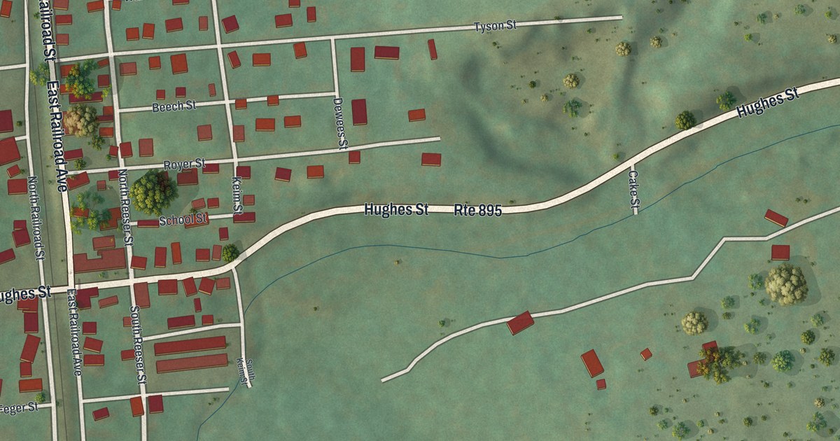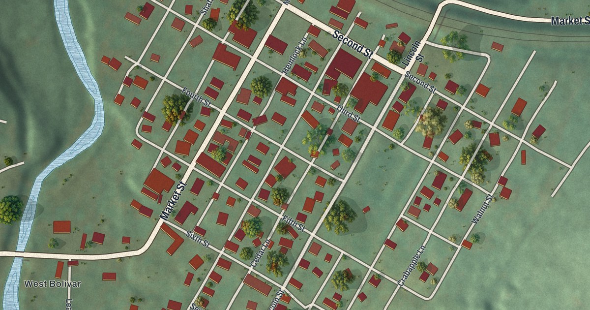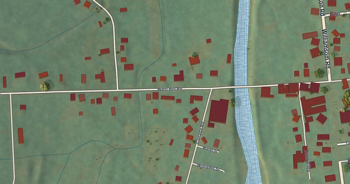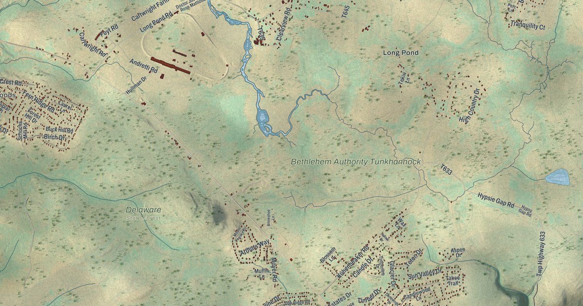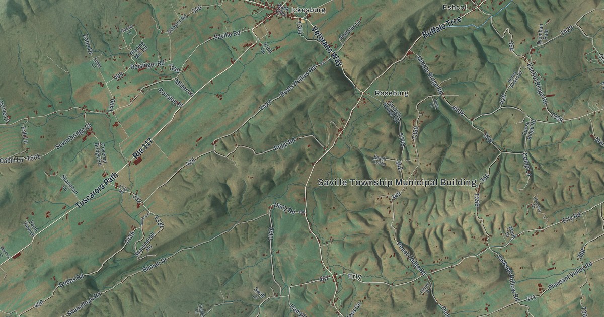
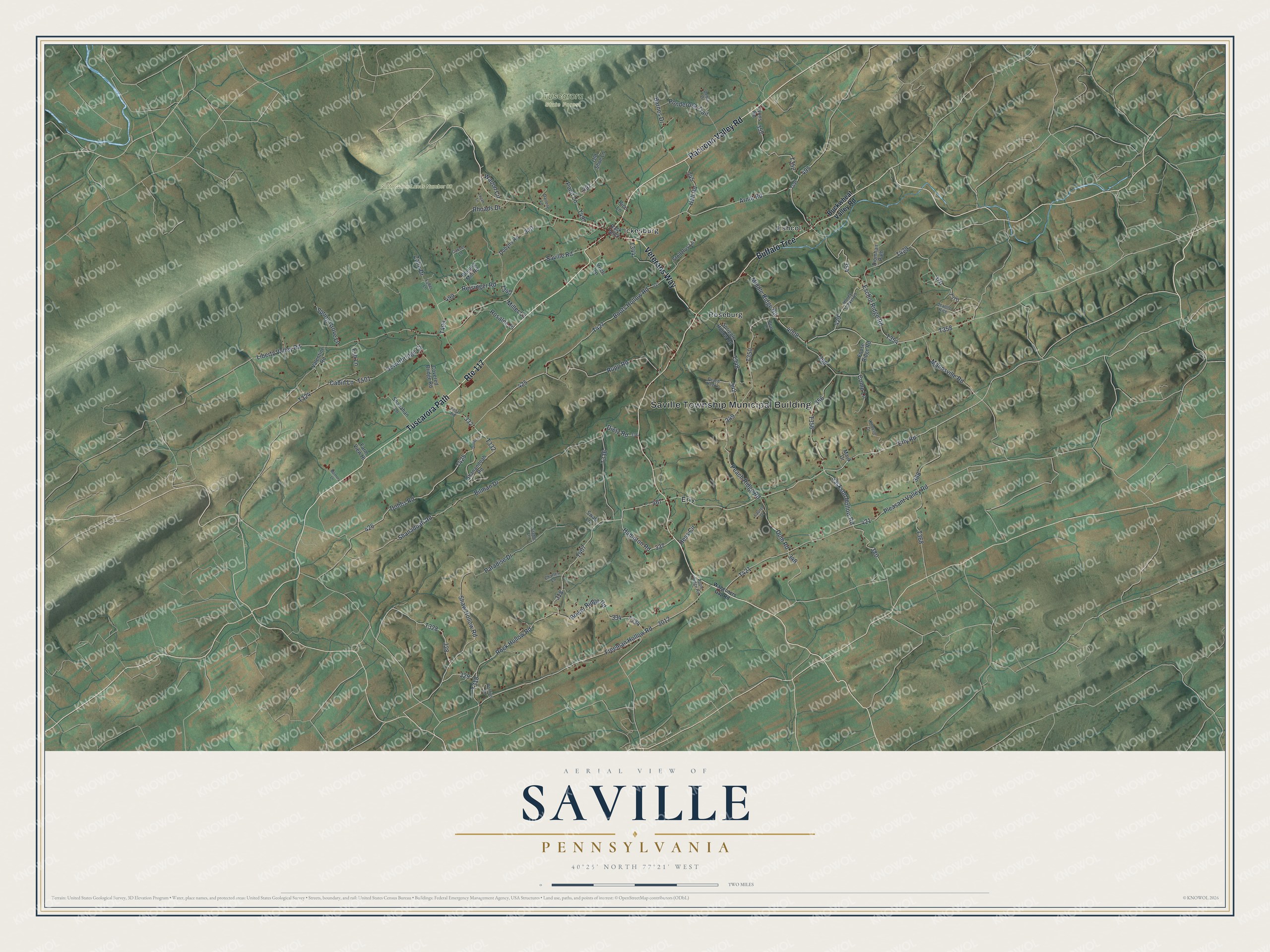
This beautifully detailed map of Saville, Pennsylvania was created in 2026 using aerial imagery combined with modern topographical, census, street and landmark data. It's a modern aerial view of Saville in Perry County, Pennsylvania, that combines modern data with a vintage aesthetic. The roads feature printed names, and if you look closely you can find your exact house accurately shown in its correct location.
Explore an aerial view of Saville, Pennsylvania
On this map you'll find Saville Township Municipal Building, State Game Lands Number 88, Tuscarora State Forest, Erly, Eshcol, Ickesburg, Roseburg, Tuscarora Path, Raccoon Valley Road, Veterans Way, Buffalo Trce, Rock Hollow Road, and more. Each red shape is a building, so zoom in on the preview and look for yours.
Saville has a story worth telling. The Perry County History puts it this way: "Saville township has a sacred school history, from the fact that she has been the birth-place and early home of more Christian ministers than any township in the county."
Saville is a place in Perry County. The Census Bureau counted 2,597 people here in 2020.
Take a closer look at the Saville map
Names on this map
These names are printed on this map.
Places: Saville Township Municipal Building, State Game Lands Number 88, Tuscarora State Forest, Erly, Eshcol, Ickesburg and Roseburg.
Streets and roads: Tuscarora Path, Route 117, Raccoon Valley Road, Veterans Way, Buffalo Trce, Rock Hollow Road, Erly Road, Freeman Hollow Road, Middle Ridge Road, Eschol Ridge Road, Arndt Road, Dobbs Road.
More street names, A to Z
Apple Ridge Road, Back Alley, Barnes Drive, Bear Lane, Bilman Drive, Boots Hollow Road, Bower Ridge Road, Buckwheat Valley Road, Cabin Lane, Cassel Lane, Charles Lane, Comp Lane, Covered Bridge Road, Darlene Lane, Debra Drive, Dietz Road, Diomhair Path, Dobbs Lane, Dobyns Road, Dum Road, Esh Lane, Farm View Hl, Foose Ridge Road, Fritz Road, Fuller Lane, Hall Road, Hampton Road, Hess Circle, Honey Suckel Road, Jackson Hollow Road, Jeanne Rice, Knouse Drive, Laurel Drive, Liberty Valley Road, Logan Lane, Lyons Road, Mannsville Road, Mauk Drive, Memory Lane, Miller Lane, Old Shoe Lane, Paradise Drive, Peach Ridge Road, Peach Tree Lane, Planing Mill Road, Pleasant Valley Road, Ponderosa Trail, Pond Lane, Pontius Lane, Reisinger Road, Rhoads Drive, Rice Lane, Rosalee Place, Rupp Road, Saville Road, Sewerbridge Court, Shanadoah Road, Shanahan Lane, Shanandoah Road, Shaw Hollow Road, Spriggle Hollow Road, Spring Grove Lane, Stahle Lane, Stoltzfus Lane, Swab Lane, Valentine Road, Vrich Lane, Waggoners Gap Road, Walton Circle, Zahn Drive.
Created by KNOWOL in 2026. The buildings are small red shapes, the roads carry their printed names, and shaded relief shows the shape of the land. The title panel reads "AERIAL VIEW OF SAVILLE PENNSYLVANIA" with 4, 0, °, 2, 5, ', , N, O, R, T, H, , 7, 7, °, 2, 1, ', , W, E, S, T.
It looks right in a kitchen, an office or a den, and it's a gift for anyone who grew up in Saville or moved away. Open the preview and find your street. See sizes and frames for the Saville map.