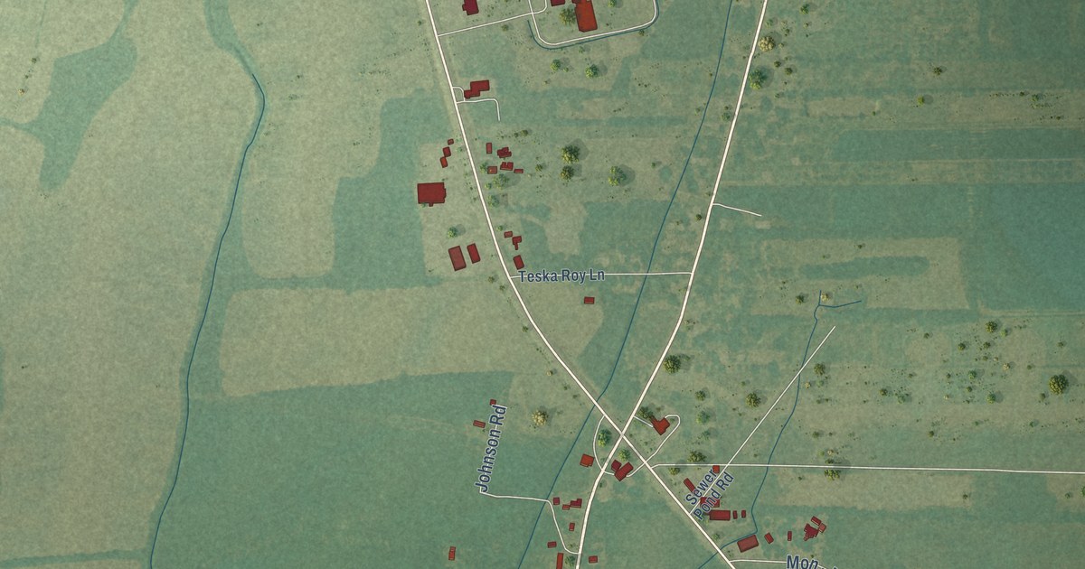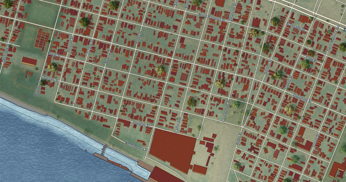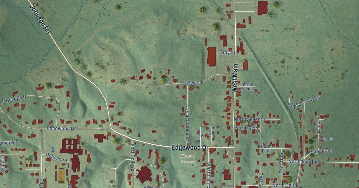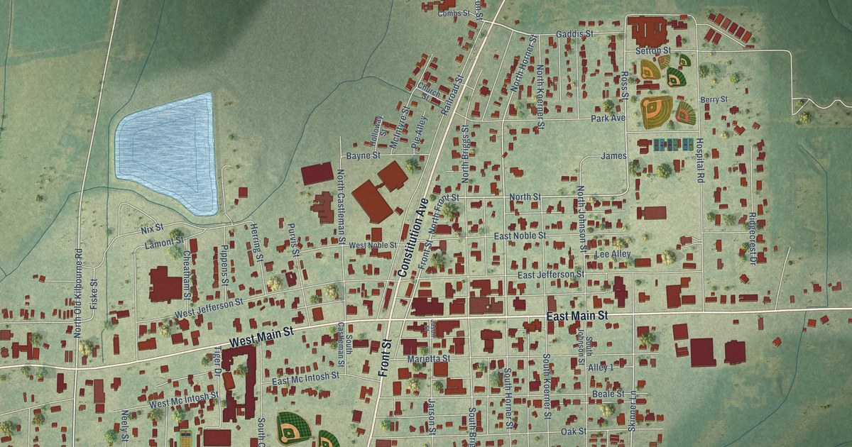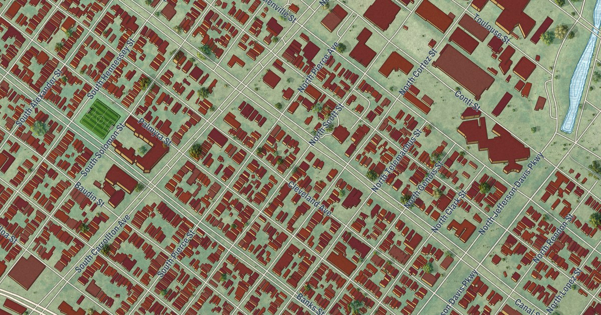
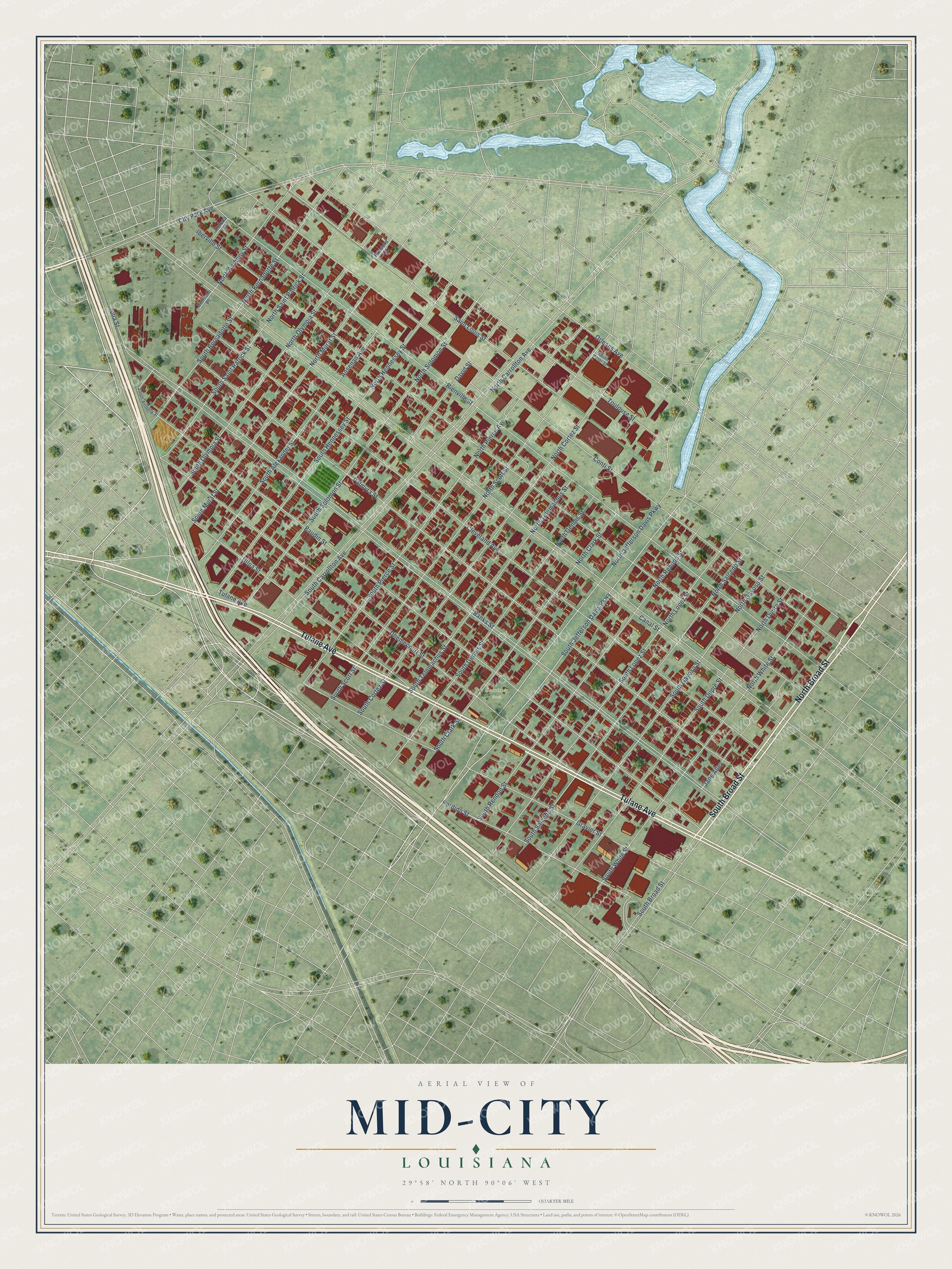
This beautifully detailed map of Mid-City, Louisiana was created in 2026 using aerial imagery combined with modern topographical, census, street and landmark data. It's a modern aerial view of Mid-City in Orleans Parish, Louisiana, that combines modern data with a vintage aesthetic. The roads feature printed names, and if you look closely you can find your exact house accurately shown in its correct location.
Explore an aerial view of Mid-City, Louisiana
On this map you'll find Comiskey Park, Masonic Cemetery, South Broad Street, North Broad Street, Tulane Avenue, South Jefferson Davis Parkway, North Jefferson Davis Parkway, Perdido Street, City Park Avenue, Bienville Street, North Gayoso Street, North Carrollton Avenue, and more. Each red shape is a building, so zoom in on the preview and look for yours.
Mid-City is a neighborhood in Orleans Parish. The map prints the town name in its title panel, with the coordinates below it.
Take a closer look at the Mid-City map
Names on this map
These names are printed on this map.
Places: Comiskey Park and Masonic Cemetery.
Streets and roads: South Broad Street, North Broad Street, Tulane Avenue, South Jefferson Davis Parkway, North Jefferson Davis Parkway, Perdido Street, City Park Avenue, Bienville Street, North Gayoso Street, North Carrollton Avenue, South Pierce Street, South Hennessey Street.
More street names, A to Z
Ansenan Avenue, Banks Street, Baudin Street, Botinelli Place, Canal Street, Cleveland Avenue, Conti Street, David Street, Dhemecourt Street, Gravier Street, Helena Street, Iberville Street, Jane Alley, Julia Street, North Anthony Street, North Bernadotte Street, North Clark Street, North Cortez Street, North Dupre Street, North Genois Street, North Hennessey Street, North Lopez Street, North Murat Street, North Olympia Street, North Pierce Avenue, North Rendon Street, North Saint Patrick Street, North Salcedo Street, North Scott Street, North Solomon Street, North Telemachus Street, North White Street, Orleans Avenue, Palmyra Street, Passera Court, Saint Louis Street, Saint Peter Street, South Alexander Street, South Anthony Street, South Bernadotte Street, South Carrollton Avenue, South Clark Street, South Cortez Street, South Dupre Street, South Gayoso Street, South Genois Street, South Lopez Street, South Murat Street, South Olympia Street, South Rendon Street, South Saint Patrick Street, South Salcedo Street, South Scott Street, South Solomon Street, South Telemachus Street, South White Street, Toulouse Street, Ulloa Street.
Created by KNOWOL in 2026. The buildings are small red shapes, the roads carry their printed names, and shaded relief shows the shape of the land. The title panel reads "AERIAL VIEW OF MID-CITY LOUISIANA" with 29°58' NORTH 90°06' WEST.
It suits a den, a classroom or a front hall, and it makes a gift for anyone with Mid-City roots. Open the preview and find the block you know. See sizes and frames for the Mid-City map.