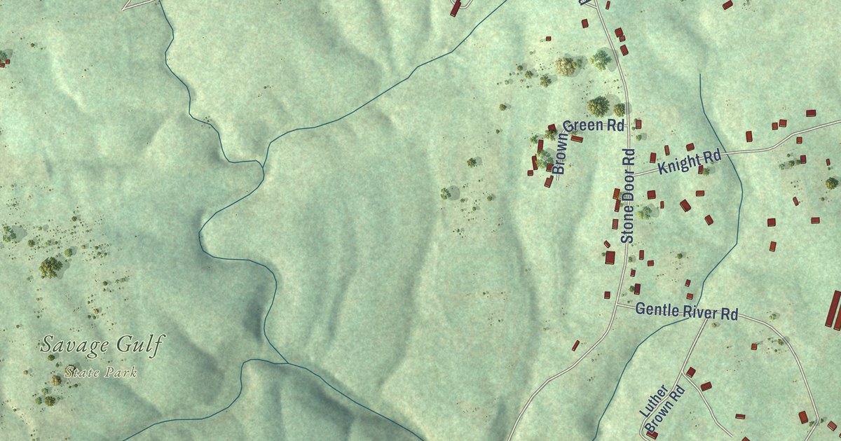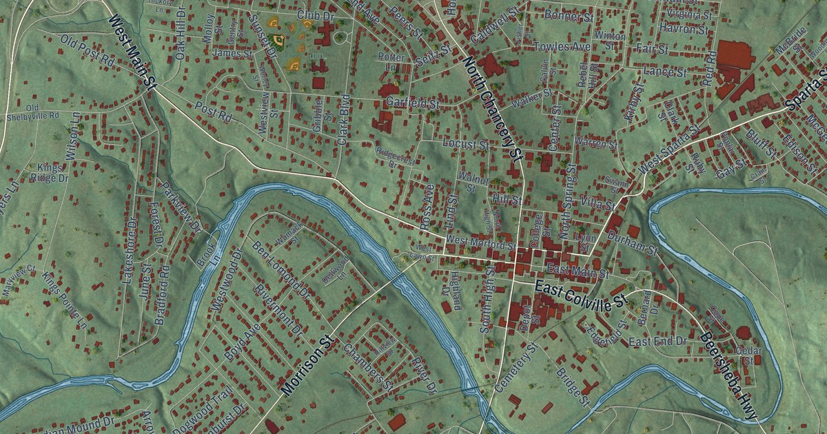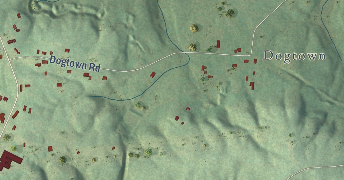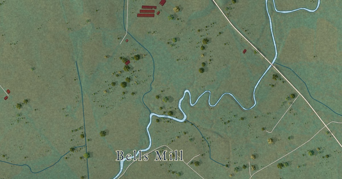
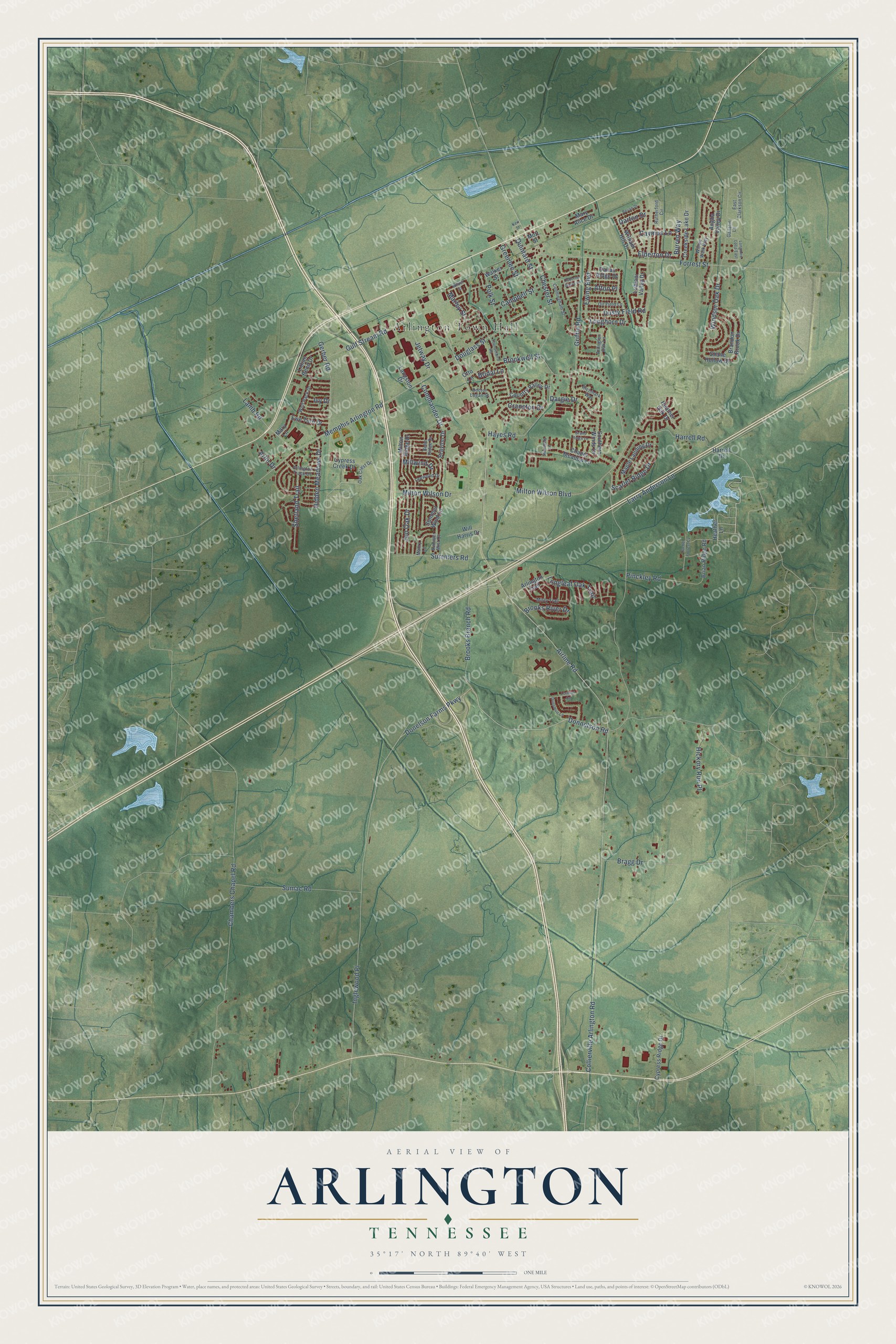
This beautifully detailed map of Arlington, Tennessee was created in 2026 using aerial imagery combined with modern topographical, census, street and landmark data. It’s a one-of-a-kind view of Arlington that combines accurate data with a vintage aesthetic. The map shows every building in its true location, many of the roads carry their names, and the shaded topographic relief shows the shape of the land.
Explore an aerial view of Arlington, Tennessee
On the map you’ll find Arlington Town Hall and Inglewood Place, along with Donnelson Road, Milton Ridge Drive, Jon Oak Drive, Donelson Farms Parkway, Elderton Drive, Burren Way, Forrest Street, Shetland Trail, Marley Street, Airline Road, and more. If you look closely you can even find your house accurately drawn in its correct location. Zoom in on the preview to look for yours.
Did you know this piece of Arlington, Tennessee history?
From the National Register of Historic Places: "Wells School was constructed from 1924-25, during the height of the Rosenwald-assisted building program."
Take a closer look at the Arlington map
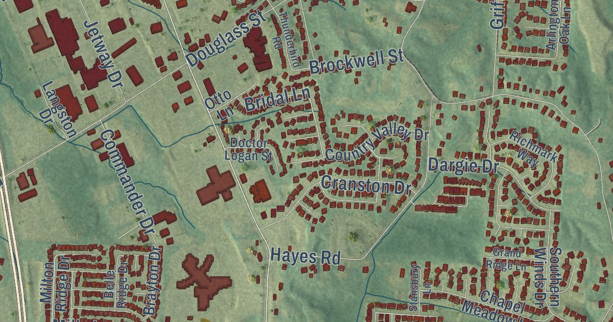
Street and place names on the Arlington, Tennessee map
These names are printed on the map of Arlington, Tennessee.
Places: Arlington Town Hall.
Streets and roads: Donnelson Road, Burren Way, Marley Street, Donelson Farms Parkway, Elderton Drive, Inglewood Place, Airline Road, Shetland Trail, Jon Oak Drive, Bragg Drive, Longhorn Drive, Chester Street.
More street names, A to Z
Afton Place, Anglia Valley Drive, Arlin Drive, Arlington Oak Lane, Arlington Trace Drive, Arlington Trail, Belle Ridge Drive, Bevan Drive, Brandon Brook Drive, Brayton Drive, Brian Ridge Road, Bridal Lane, Brockwell Street, Brooks Branch Road, Brooks River Drive, Campbell Street, Caymus Lane, Chambers Chapel Road, Chapel Meadow Lane, Collierville Arlington Road, Commander Drive, Country Valley Drive, Cranston Drive, Creekside Lake Drive, Cunningham Street, Cypress Creek Drive, Cypress Ridge Drive, Dallas Ridge Drive, Dargie Drive, Darton Drive, Doctor Logan Street, Douglass Street, Dunsmuir Lane, Dusty Field Road, East Clarkson Circle, Ewe Turn Drive, Ewing Boulevard, Forrest Street, Gallatin Lane, Gerber Road, Grand Ridge Lane, Greenlee Street, Griffin Road, Gulf Stream Road, Harrell Drive, Harrell Road, Hayes Road, Heather Lane, Heather Oak Drive, Hickory Run Place, Hidden Meadows Drive, Ivy Drive, Jetway Drive, Kerr Street, Lamb Road, Langston Drive, Larry Anderson Lane, Leewood Drive, Lillian Bend Drive, Longleaf Oak Trail, Longmire Loop East, Lorimer Cv, Lubiani Valley Drive, Mabry Lane, Maple Landing Drive, Mary Alice Drive, Mary Lane, Memphis Arlington Road, Millwind Drive, Milton Ridge Drive, Milton Wilson Boulevard, Milton Wilson Drive, Misty Trail, Mott Street, Oak Crest Drive, Oil Field Lane, Osborne Grove Drive, Otto Lane, Pinckley Road, Polk Street, Quintard Street, Rachel Forrest Cv, Richmark Way, Rutherford Circle, Scarlet Ridge Drive, Shane Hollow Drive, Southern Winds Drive, Stansbury Lane, Sumac Road, Summer Mist Cv, Summers Road, Summer Wind Lane, Thunderbird Road, Walker Street, Wilder Street, Will Harris Drive, William Hill Drive, Willow Walk Way, Windsor Oak Drive, Wolf Pack Drive.
See the Arlington, Tennessee map on a wall
The Arlington map as an 18 x 24 inch print in a black frame.

This beautifully detailed map of Arlington makes an attractive addition to your office, library, or den, and it can even be used to teach children the geography and history of the area. It also makes a great gift for anyone who grew up in Arlington or moved away. When you’re done exploring, click here to get your copy of the Arlington map.