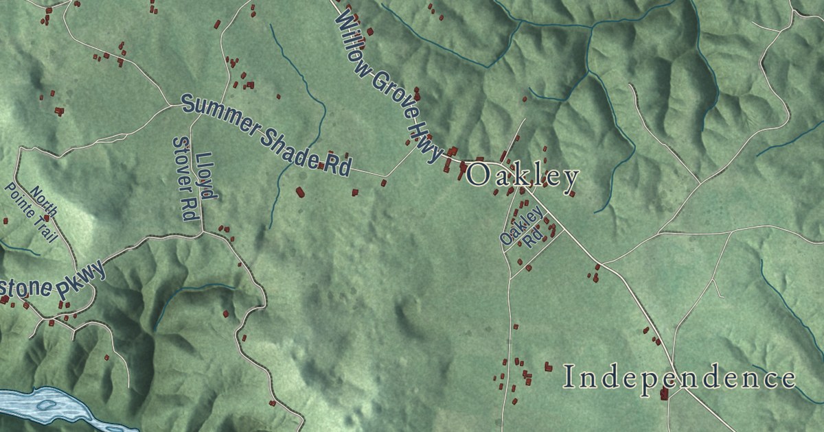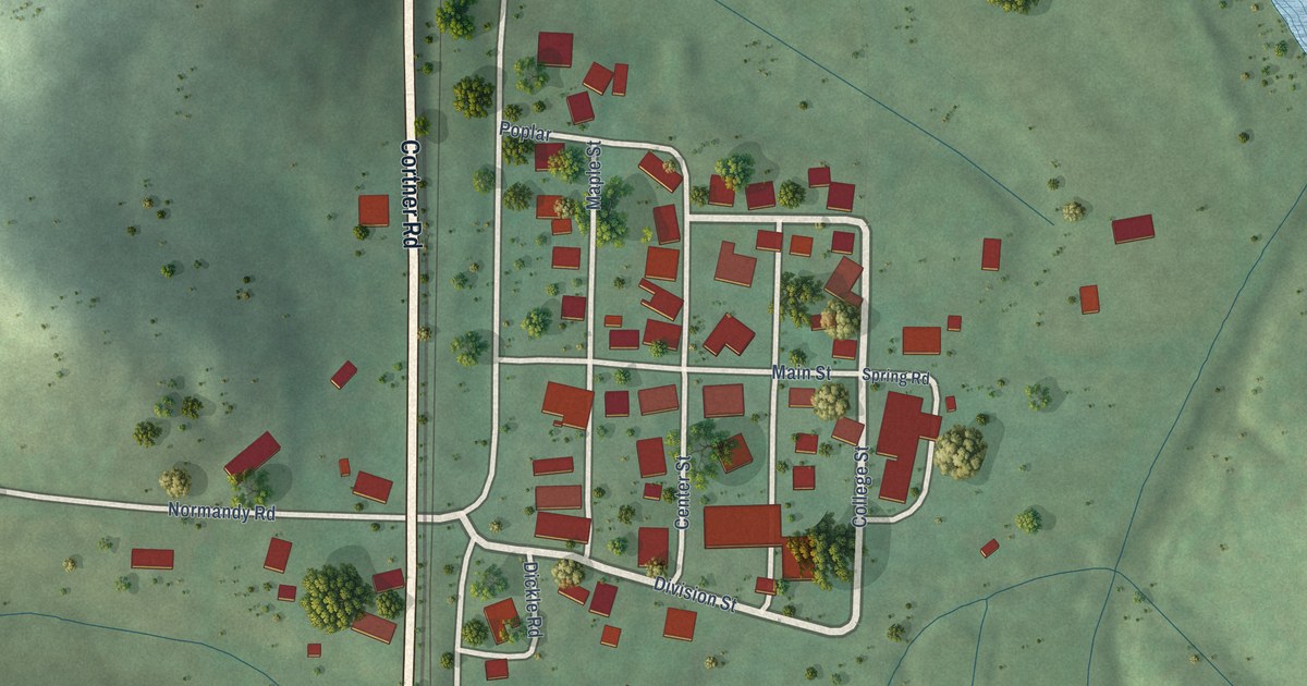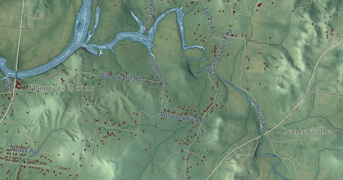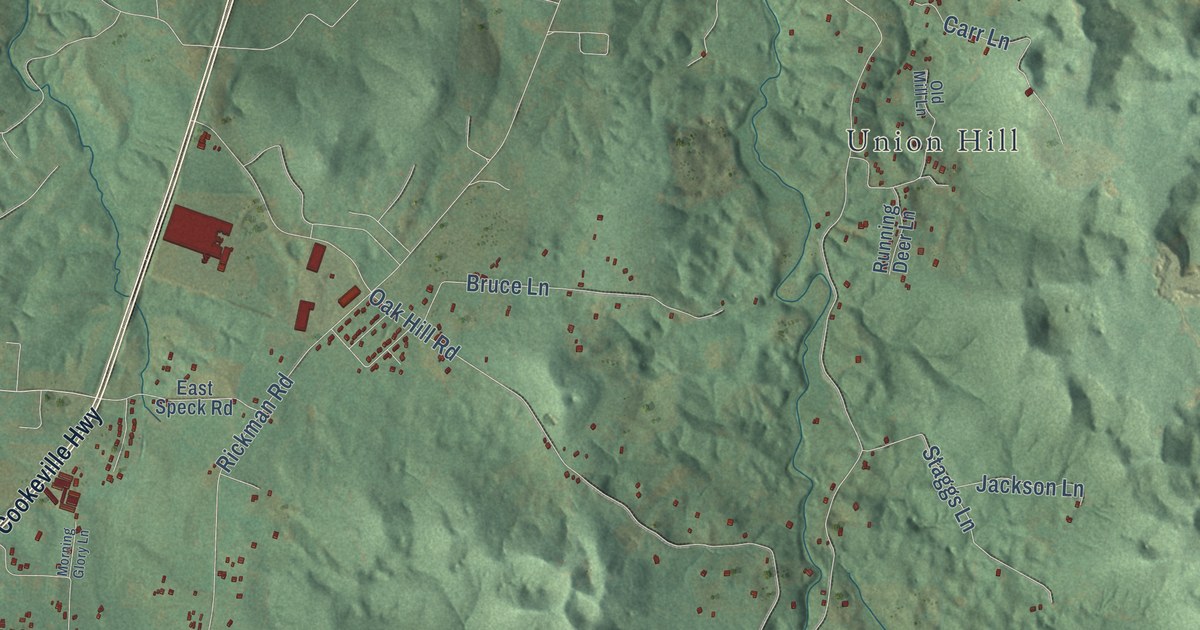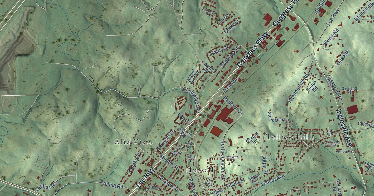
This beautifully detailed map of Athens, Tennessee was created in 2026 using aerial imagery combined with modern topographical, census, street and landmark data. It’s a one-of-a-kind view of Athens that combines accurate data with a vintage aesthetic. The map shows every building in its true location, many of the roads carry their names, and the shaded topographic relief shows the shape of the land.
Explore an aerial view of Athens, Tennessee
On the map you’ll find Athens City Hall, Sunset View, Regional Park, Alta Vista, Avalon Heights, Bohannon Addition, Brewer Addition, Bryson, Cedar Springs, Clem Jones Heights, Fairview, Forrest Hills, and more. If you look closely you can even find your house accurately drawn in its correct location. Zoom in on the preview to look for yours.
Did you know this piece of Athens, Tennessee history?
From the Tennessee Encyclopedia: "Athens served as the railroad’s headquarters until 1855, when the central office was moved to Knoxville."
Take a closer look at the Athens map
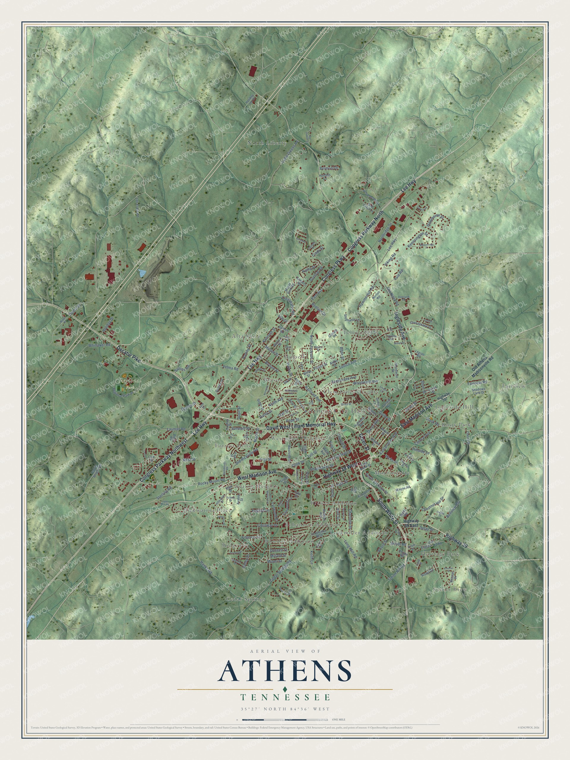
Street and place names on the Athens, Tennessee map
These names are printed on the map of Athens, Tennessee.
Places: Athens City Hall, Sunset View, Regional Park, Alta Vista, Avalon Heights, Bohannon Addition, Brewer Addition, Bryson, Cedar Springs, Clem Jones Heights, Fairview, Forrest Hills, Heritage Park, Housley Addition, Hutsell, Ingleside Hill, Knox Park, Lockmiller Addition, Morningside, North Liberty, Pickwatina Place, Ridgeway, Tellico Hills and Westwood Heights.
Streets and roads: Lee Highway, David West Lillard Memorial Highway, Congress Parkway Northwest, Highway 39 West, South White Street, East Madison Avenue, Green Street, Highway 39, West Madison Avenue, Decatur Pike, Congress Parkway, Congress Parkway North.
More street names, A to Z
Alford Street, Alton Street, Anton Street, Ashe Drive, Ashley Court, Astrid Street, Athenian Street, Atlantic Street, Avalon Street, Bell Street, Bellview Road, Belmont Drive, Benson Drive, Blount Street, Blue Springs Road, Breckenridge Street, Brewer Street, Bryson Street, Call Drive, Callen Cv, Calvin Wright Spr, Canal Street, Carmen Drive, Carter Road, Cedar Springs Road, Central Avenue, Chapman Street, Charlotte Street, Cherry Street, Chesapeake Drive, Chestnut Hill Drive, Chilhowee Street, Church Street, Cindy Street, Circle Drive, Clark Street, Clay Street, Clearwater Road, Clist Street, Colonial Drive, Cook Drive, Coosa Street, Crestway Drive, Crestwood Road, Cumberland Avenue, Delay Street, Dennis Street, Denso Drive, Dixon Avenue, Dossett Street, Dupit Street, Eastanallee Avenue, East Avenue, East Bank Street, Eaves Street, Elizabeth Street, Elk Street, Elmhurst Drive, English Lane, Epperson Street, Ervin Street, Fairview Avenue, Fairview Road, Fisher Street, Forrest Avenue, Fox Street, Frye Street, Fyke Drive, Garden Drive, Gay Street, George Street, Gettys Lane, Golf Crest Lane, Guille Street, Guthrie Road, Haines Road, Haley Street, Hamby Street, Hammerhill Road, Hammonds Road, Hanks Road, Hawthorne Street, Hicks Street, Highland Avenue, Highway 39 East, Highway 307, Hillandale Drive, Hillside Lane, Holiday Drive, Holiday Inn Drive, Holt Street, Housley Drive, Hughes Street, Hunters Lane, Ingleside Avenue, James Street, Joe Jaquish Drive, Jones Street, Kathy Street, Keith Lane, Kenneth Street, Kennsington Street, Kenwood Drive, King Street, Knight Road, Knight Street, Lamar Street, Lark Lane, Lark Street, Layman Road, Lee Drive, Lee Erwin Road, Legion Road, Linden Circle, Lions Park Road, Lockmiller Boulevard, Long Mill Road, Ludie Owens Road, Lynman Street, Lynwood Circle, Lynwood Drive, Maple Street, McMinn Avenue, Miami Street, Millard Street, Miller Street, Million Street, Milton Road, Mount Verd Road, North Avenue, North Jackson Street, Northridge Drive, Northside Drive, Norton Road, Oak Street, Old Athens Madisonville Road, Old Englewood Road, Old Niota Road, Old Riceville Road, Overland Road, Oxnard Road, Palos Street, Park Street, Pike Street, Pine Street, Piper Road, Pope Street, Railroad Avenue, Redfern Drive, Regional Park Drive, Ridgeway Circle, Rocky Mount Road, Rose Drive, Sanders Road, Scenic Drive, Scott Street, Shadows Lane Drive, Shoemaker Street, Short Street, Shryer Road, Sioux Street, Slack Road, Sliger Street, South Jackson Street, South Matlock Avenue, Stephanie Lane, Sterling Road, Stiles Street, Sullins Road, Summitt Street, Taylor Street, Tellico Avenue, Tell Street, Tennessee Avenue, Towanda Trail, Union Hill Road, Ute Street, Valley Drive, Velma Road, View Street, Viking Road, Virginia Avenue, Walker Street, Warren Street, Watts Road, Wayne Road, West Avenue, West College Street, Westside Street, West Street, Whittaker Road, Willet Drive, Willow Springs Drive, Woodacre Drive, Wood Creek Circle, Woodward Avenue, Yale Road.
See the Athens, Tennessee map on a wall
The Athens map as an 18 x 24 inch print in a black frame.

This beautifully detailed map of Athens makes an attractive addition to your office, library, or den, and it can even be used to teach children the geography and history of the area. It also makes a great gift for anyone with Athens roots. When you’re done exploring, click here to get your copy of the Athens map.