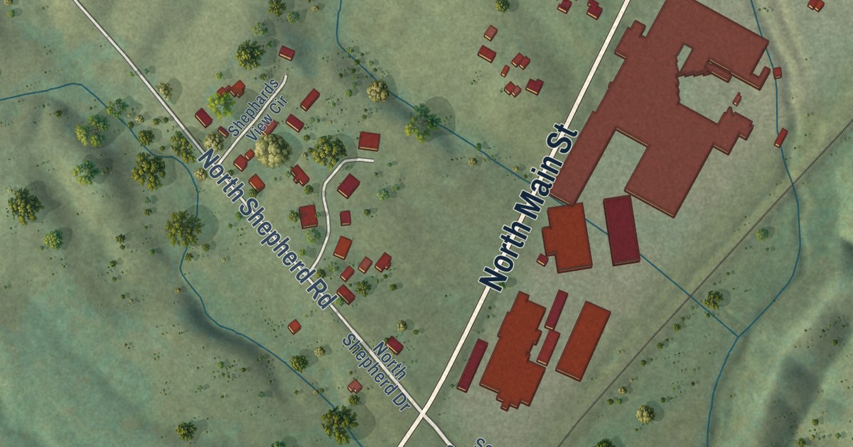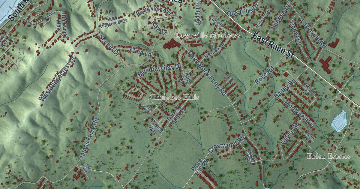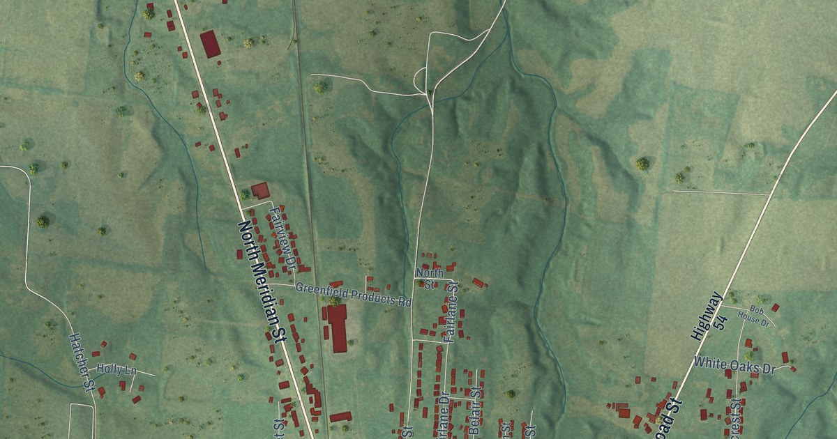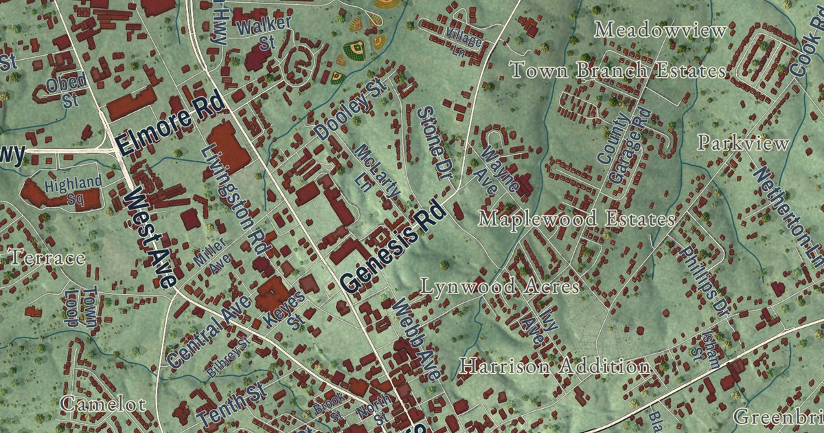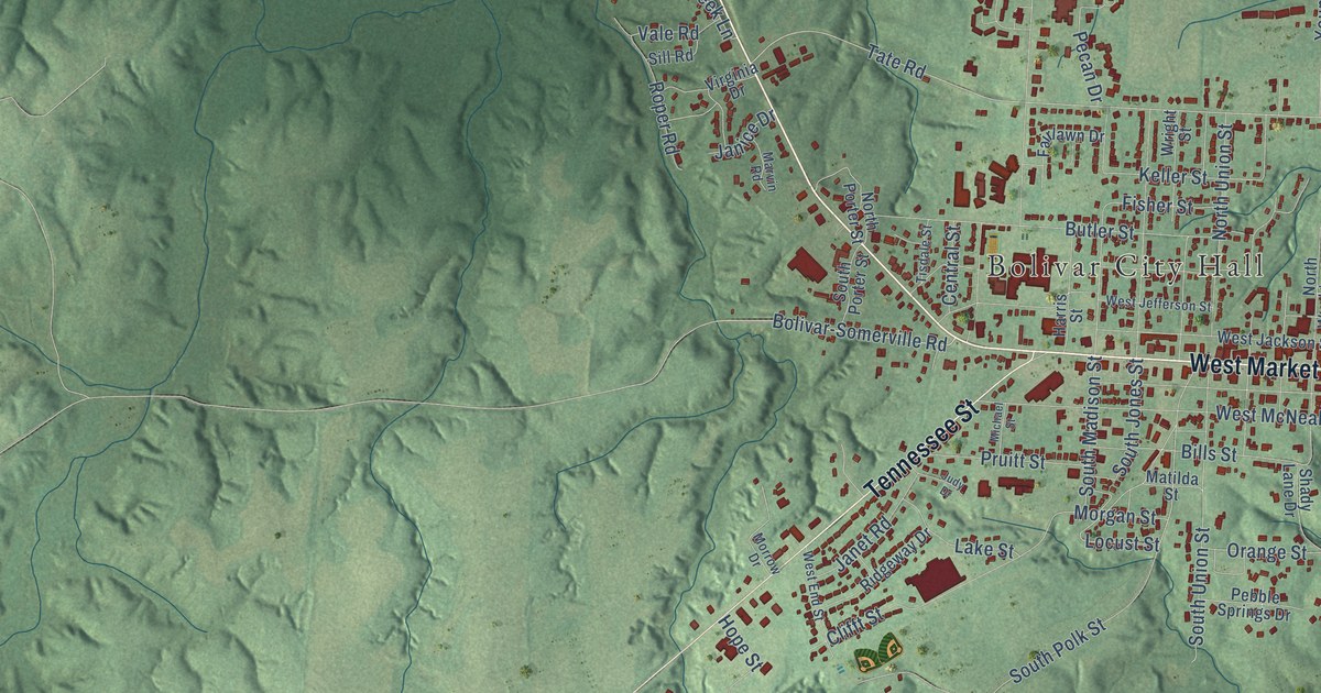
This beautifully detailed map of Bolivar, Tennessee was created in 2026 using aerial imagery combined with modern topographical, census, street and landmark data. It’s a one-of-a-kind view of Bolivar that combines accurate data with a vintage aesthetic. The map shows every building in its true location, many of the roads carry their names, and the shaded topographic relief shows the shape of the land.
Explore an aerial view of Bolivar, Tennessee
On the map you’ll find Bolivar City Hall and Sugar Hill, along with West Market Street, North Main Street, South Main Street, Tennessee Street, East Market Street, North Water Street, South Union Street, Tate Road, North Union Street, Keller Street, and more. If you look closely you can even find your house accurately drawn in its correct location. Zoom in on the preview to look for yours.
Did you know this about Bolivar, Tennessee?
From Tennesseeencyclopedia.net: "McAnulty's Woods, a conservation site within the town of Bolivar, is the only known virgin forest remaining in West Tennessee."
Take a closer look at the Bolivar map
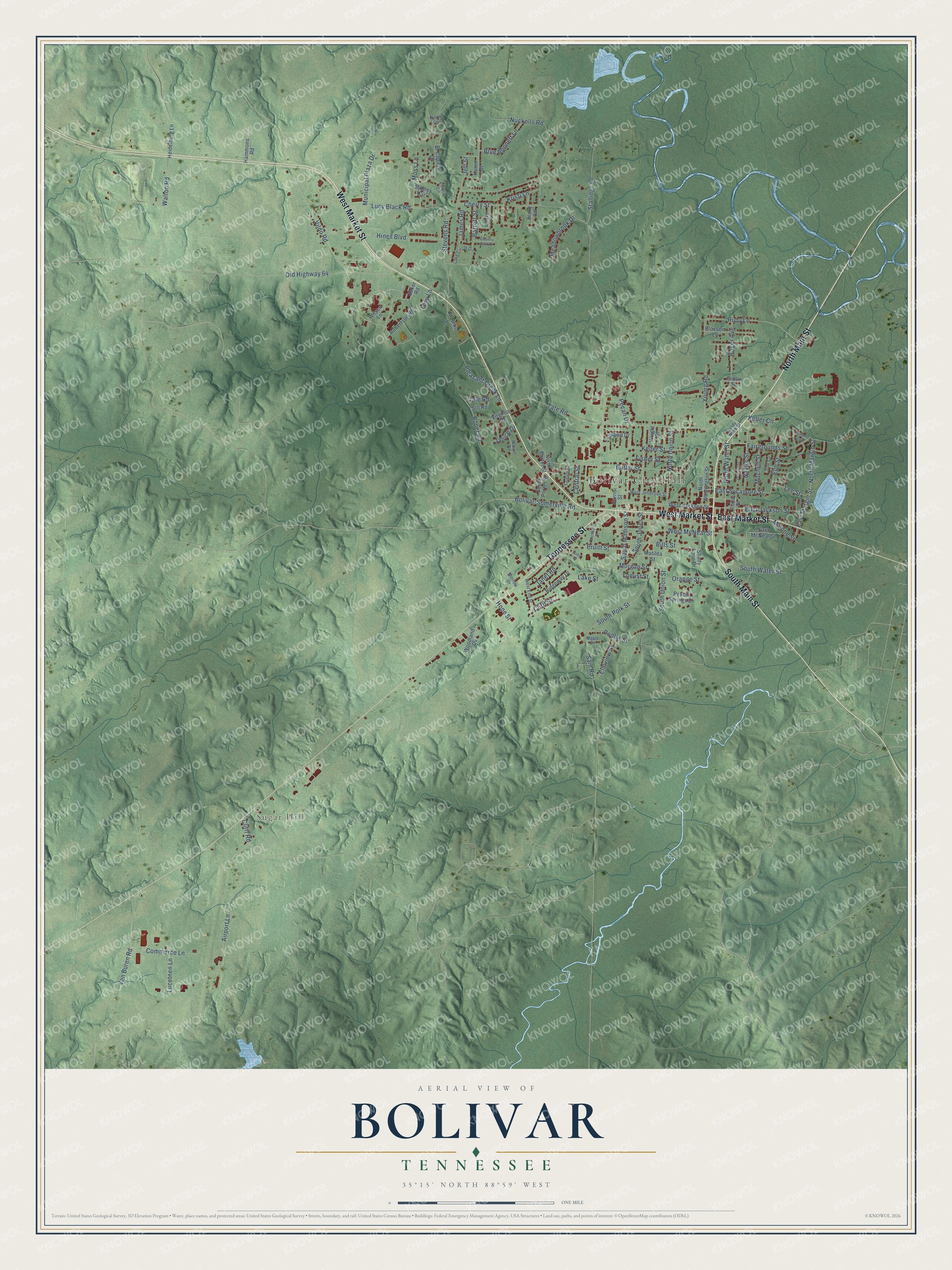
Street and place names on the Bolivar, Tennessee map
These names are printed on the map of Bolivar, Tennessee.
Places: Bolivar City Hall and Sugar Hill.
Streets and roads: West Market Street, North Main Street, South Main Street, Tennessee Street, East Market Street, North Water Street, South Union Street, Tate Road, North Union Street, Keller Street, South Jones Street, Ruby Lane.
More street names, A to Z
Airport Lane, Athletic Lane, Baker Road, Barrett Street, Bills Street, Blake Cv, Blossom Lane, Blue Bonnett Lane, Bolivar-Somerville Road, Butler Street, Central Street, Cherry Street, Clifft Road, Clifft Street, Commerce Lane, Country Club Lane, Cross Street, East Jackson Street, East Margin Street, East McNeal Street, East Sycamore Street, El Capitan Drive, Elm Street, Elmview Street, Elnora Circle, Fairgrounds Street, Fairlawn Drive, Fisher Street, Hammons Road, Harris Street, Heidelburg Lane, Hines Boulevard, Hope Street, James Road, Janet Road, Janice Drive, Jeff Street, Johnson Street, Judy Drive, Karen Drive, Keller Circle, Kristi Lane, Lake Circle Drive, Lake Street, Lee Street, Levy Lane, Locust Street, Lucetnen Lane, Lucy Black Road, Malone Street, Maple Drive, Marvin Road, Matilda Street, Meadowbrook Drive, Michael Street, Mitchell Street, Morgan Street, Morrow Drive, Moss Lane, Municipal Plaza Drive, Naylor Street, North Loop, North Margin Street, North Porter Street, North Washington Street, Nuckolls Road, Oak Cv, Old Highway 64, Orange Street, Parham Loop, Pebble Springs Drive, Pecan Drive, Pleasant Creek Lane, Poplar Street, Pruitt Street, Ridgeway Drive, Robertson Road, Roger Avenue, Roper Road, Sain Road, Sandy Nook Street, Shady Lane Drive, Sill Road, South Madison Street, South Polk Street, South Porter Street, South Water Street, Stallings Lane, Stevens Road, Sydney Circle, Third Street, Tisdale Street, Vale Road, Van Buren Road, Vildo Road, Virginia Drive, Walton Road, Weaver Lane, West End Street, West Jackson Street, West Jefferson Street, West McNeal Street, Wilson Lane, Woodland Cv, Wright Street, Young Road.
See the Bolivar, Tennessee map on a wall
The Bolivar map as an 18 x 24 inch print in a black frame.

This beautifully detailed map of Bolivar makes an attractive addition to your office, library, or den, and it can even be used to teach children the geography and history of the area. It also makes a great gift for anyone who grew up in Bolivar or moved away. When you’re done exploring, click here to get your copy of the Bolivar map.