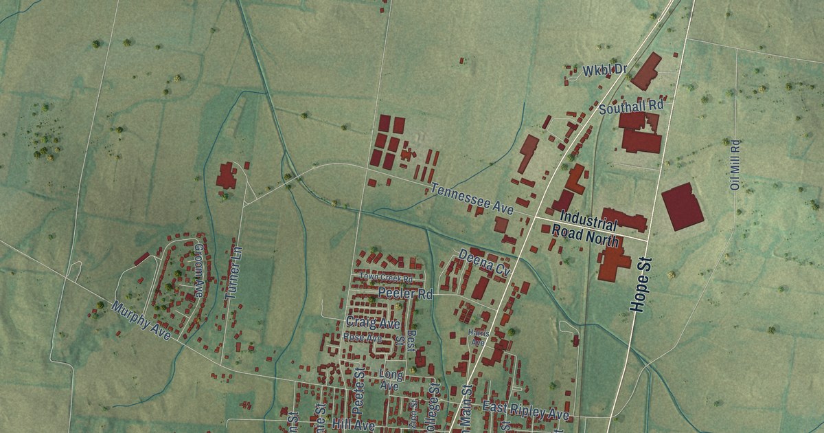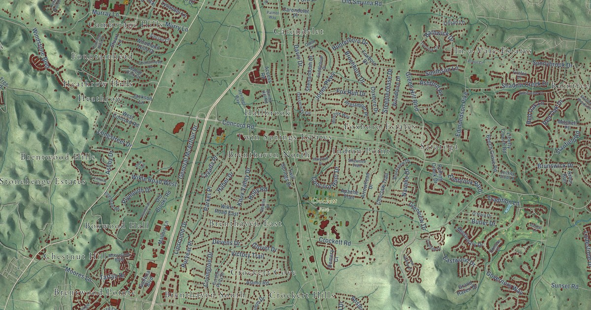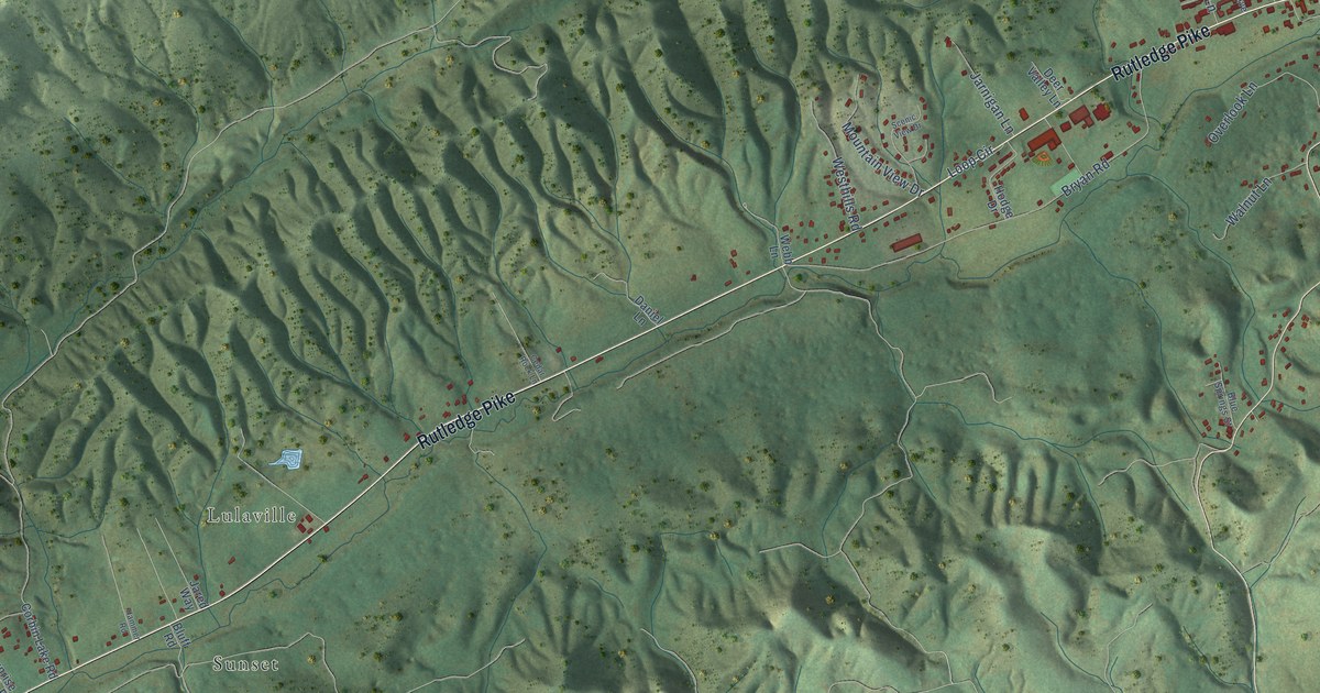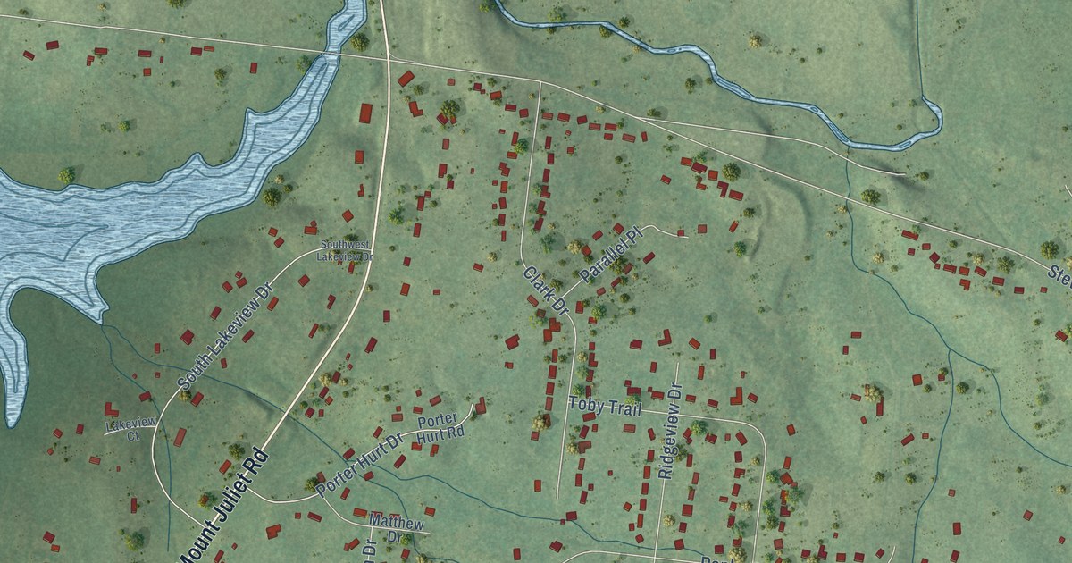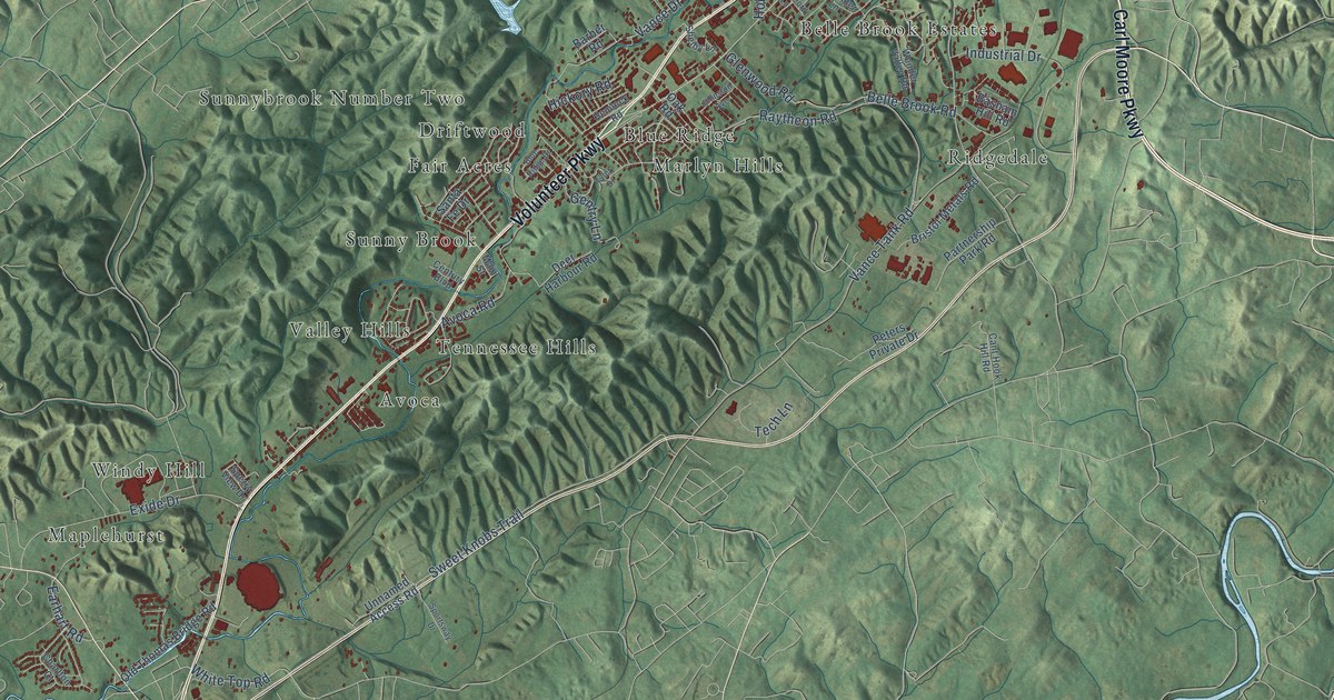
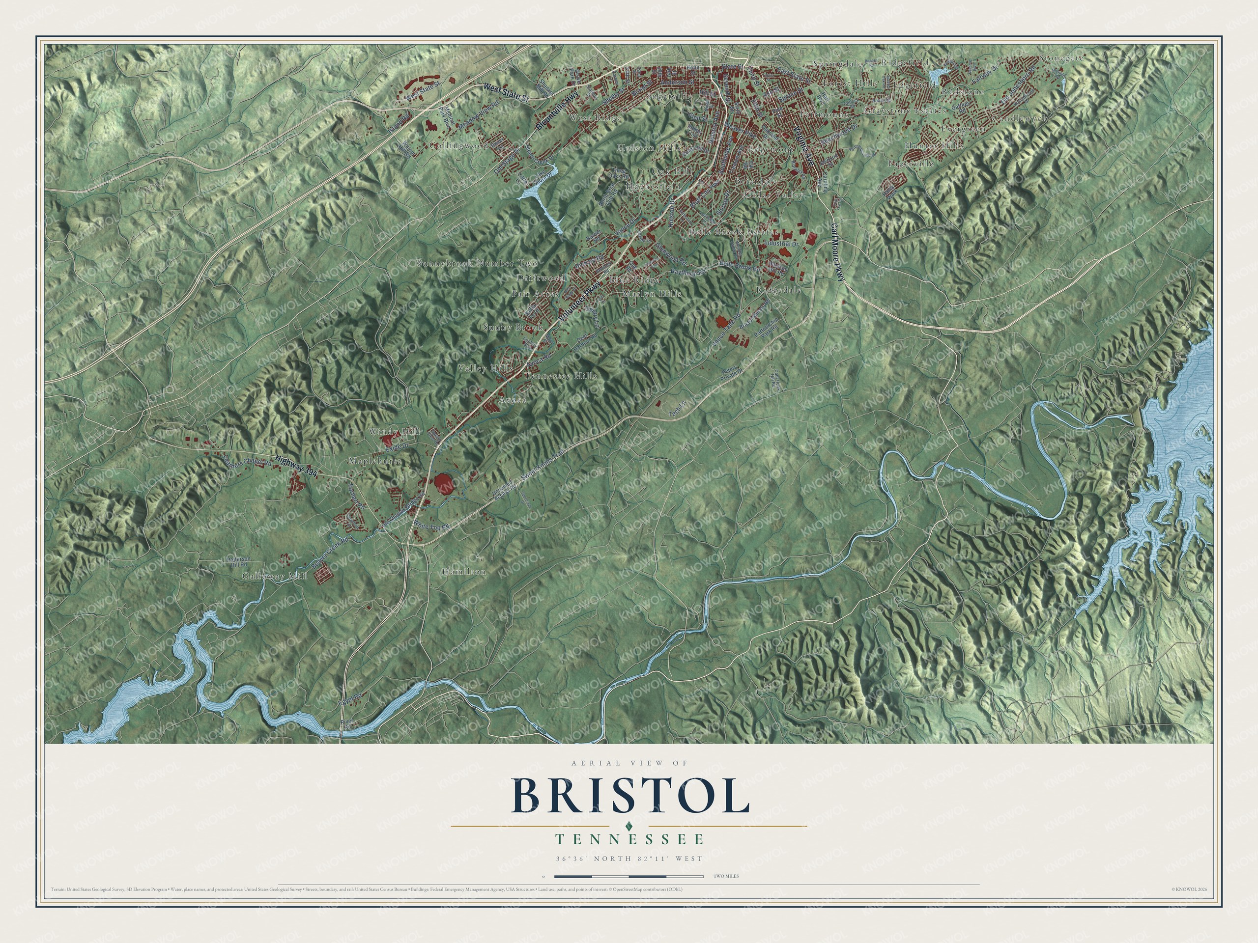
This beautifully detailed map of Bristol, Tennessee was created in 2026 using aerial imagery combined with modern topographical, census, street and landmark data. It's a modern aerial view of Bristol in Sullivan County, Tennessee, that combines modern data with a vintage aesthetic. The roads feature printed names, and if you look closely you can find your exact house accurately shown in its correct location.
Explore an aerial view of Bristol, Tennessee
On this map you'll find Stonegate, Candlewyck, Avoca, Belle Brook Estates, Blue Ridge, Briardale, Cedar Valley, Collingwood, Driftwood, Edgefield, Edgemont, Evergreen, and more. Each red shape is a building, so zoom in on the preview and look for yours.
Here is a piece of Bristol history, in the words of the record. The record at tennesseeencyclopedia.net puts it this way: "Modern Bristol dates to the late nineteenth and early twentieth centuries, when an industrial town developed at the junction of the Southern Railway and Norfolk and Western Railroad."
Bristol is a city in Sullivan County. The Census Bureau counted 27,147 people here in 2020.
Take a closer look at the Bristol map
Names on this map
These names are printed on this map.
Places: Stonegate, Candlewyck, Avoca, Belle Brook Estates, Blue Ridge, Briardale, Cedar Valley, Collingwood, Driftwood, Edgefield, Edgemont, Evergreen, Fair Acres, Fairmount, Forest Hills, Galloway Mill, Graystone Estates, Hamilton, Haynesfield, Holston Hills, Hunter Hills, Maplehurst, Marlyn Hills, Oak Hill, Paperville, Redstone, Ridgedale, Ridgefield, Springdale, Sugarville, Sunny Brook, Sunnybrook Number Two, Tennessee Hills, Valley Hills, West Ridge and Windy Hill.
Streets and roads: Carl Moore Parkway, Virginia Avenue, Volunteer Parkway, West State Street, Blountville Highway, Highway 394, State Street, Bluff City Highway, East State Street, Holston Avenue, Hill Street, Exide Drive.
More street names, A to Z
14th Street, 18th Street, 22nd Street, 24th Street, Anderson Street, Ash Street, Avoca Road, Barber Road, Basham Hill Road, Beaver Creek Road, Beechwood Drive, Belle Brook Road, Blackley Road, Blue Ridge Drive, Booher Road, Bristol Metals Road, Broad Street, Cant Hook Hill Road, Carolina Avenue, Carson Lane, Century Boulevard, Charlton Court, Cory Lee Circle, Cox Street, Deer Harbour Road, Dover Lane, Earhart Road, Egypt Road, Elk Road, Fairway Drive, Feathers Chapel Road, Fifth Street, Gaffney Road, Gentry Lane, Glen Street, Glenwood Road, Grove Park Drive, Haley Walk, Hart Boulevard, Hemlock Road, Hickory Road, Holston Drive, Indian Trail, Industrial Drive, Island Road, Jackson Street, Johnston Avenue, Kingsbridge, Knob Hill Drive, Kohn Street, Lake Shore Drive, Lavinder Lane, Little Lane, Main Street, Meadow View Road, Medical Park Boulevard, Millwood Road, Ninth Street, North Briar Cliff Road, North Paperville Road, Oakland Drive, Oak Road, Old Jonesboro Road, Old Stage Drive, Old Thomas Bridge Road, Partnership Park Road, Patterson Hill Road, Peters Private Drive, Pine Street, Raytheon Road, Reserve Boulevard, River Road, Robin Road, Roscommon Drive, Rutherford Lane, Santa Fe Drive, Seventh Street, Shankel Mill Road, Shelby Lane, Shelby Street, Shirley Drive, Sixth Street, Southside Avenue, Spanish Oak Road, Sperry View Drive, Sportsway Drive, Spruce Street, Stafford Street, Steele Creek Drive, Sweet Knobs Trail, Tadlock Road, Taylor Street, Tech Lane, Third Street, Three Oaks Road, Tremont Avenue, Tyler Drive, Unnamed Access Road, Vance Drive, Vance Tank Road, Walnut Hill Road, Weaver Pike, White Top Road, Wonder Valley Road.
Created by KNOWOL in 2026. The buildings are small red shapes, the roads carry their printed names, and shaded relief shows the shape of the land. The title panel reads "AERIAL VIEW OF BRISTOL TENNESSEE" with 36°36' NORTH 82°11' WEST.
It suits a den, a classroom or a front hall, and it makes a gift for anyone with Bristol roots. Open the preview and find the block you know. See sizes and frames for the Bristol map.