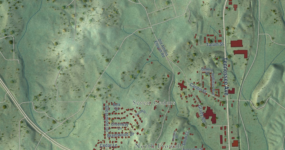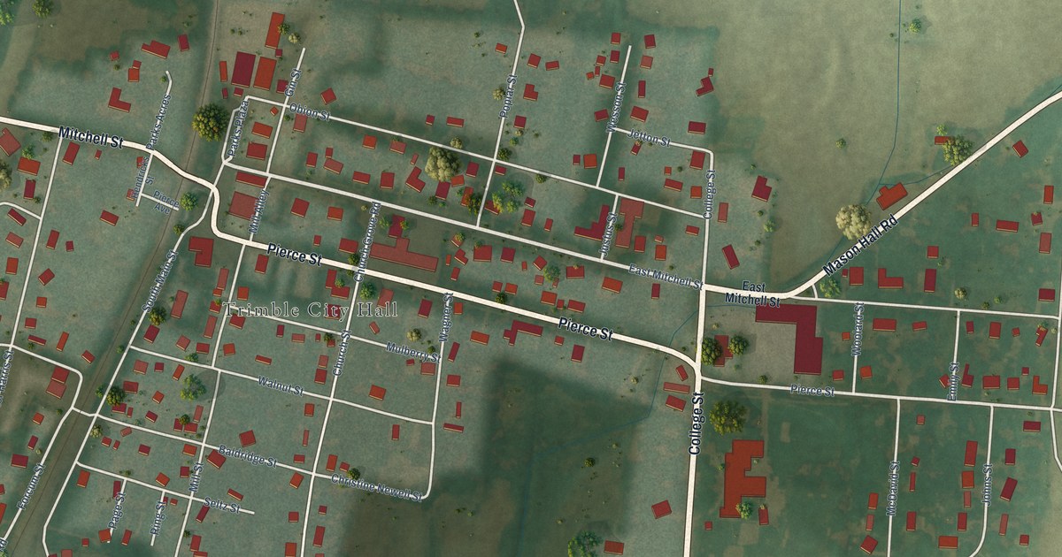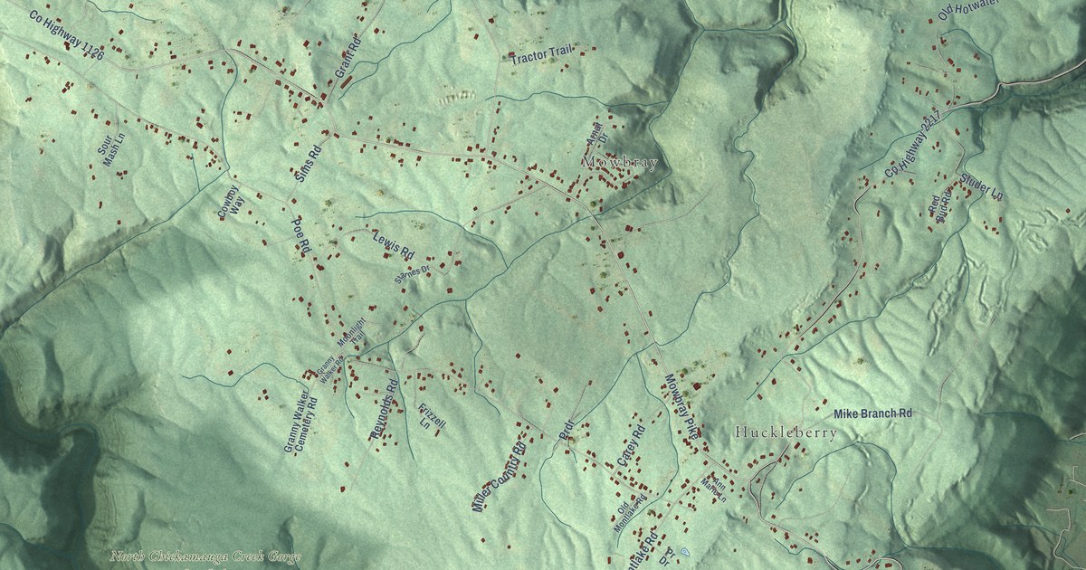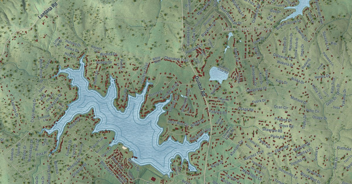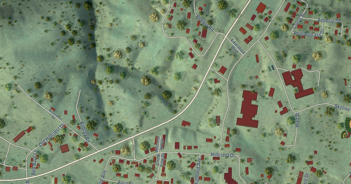
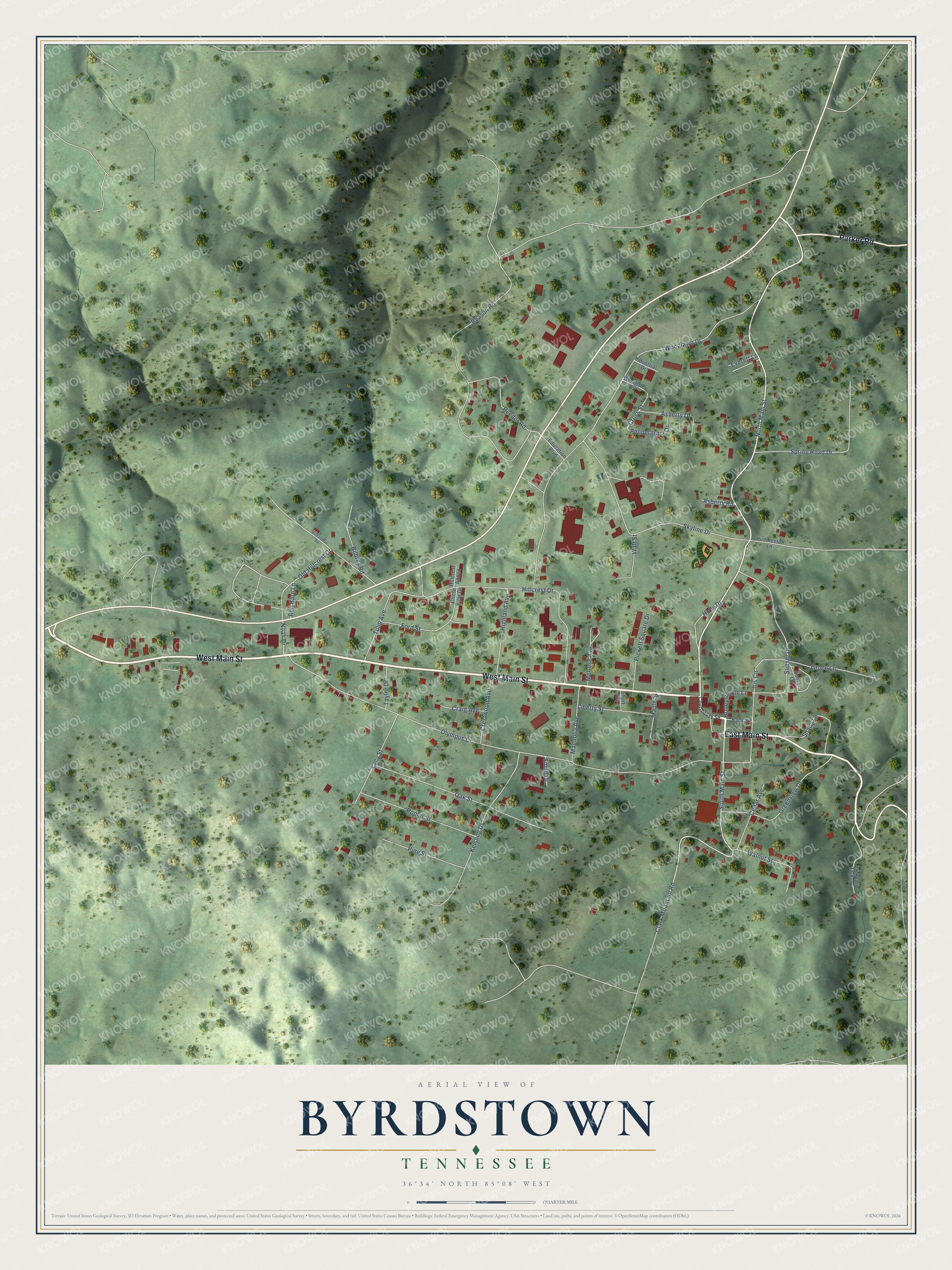
This beautifully detailed map of Byrdstown, Tennessee was created in 2026 using aerial imagery combined with modern topographical, census, street and landmark data. It's a modern aerial view of Byrdstown in Pickett County, Tennessee, that combines modern data with a vintage aesthetic. The roads feature printed names, and if you look closely you can find your exact house accurately shown in its correct location.
Explore an aerial view of Byrdstown, Tennessee
On this map you'll find West Main Street, East Main Street, Parker Road, North Main Street, South Main Street, Hillcrest Drive, Old Hillcrest Drive, Iris Circle, Honeysuckle Lane, Cross Street, Beason Road, Olympus Drive, and more. Each red shape is a building, so zoom in on the preview and look for yours.
Here is a piece of Byrdstown history, in the words of the record. The record at tennesseeencyclopedia.net puts it this way: "The county seat is Byrdstown, where the Pickett County Courthouse, designed in Crab Orchard stone by the Nashville firm of Marr and Holman, is listed in the National Register of Historic Places."
Byrdstown is a town in Pickett County. The Census Bureau counted 798 people here in 2020.
Take a closer look at the Byrdstown map
Names on this map
These names are printed on this map.
Streets and roads: West Main Street, East Main Street, Parker Road, North Main Street, South Main Street, Hillcrest Drive, Old Hillcrest Drive, Iris Circle, Honeysuckle Lane, Cross Street, Beason Road, Olympus Drive.
More street names, A to Z
Asberry Drive, Asberry Road, Bank Street, Bilbrey Road, Cedar Avenue, Circle View Drive, Clark Mountain Road, Courthouse Square, Craig Avenue, Crestwood Avenue, Education Boulevard, Everett Lane, Ford Street, Greenview Drive, Groce Lane, Highland Avenue, Hillcrest Annex, Holly Drive, Huddleston Lane, Industrial Drive, Keisling Drive, Lacy Street, Liberty Street, Magnolia Avenue, Maple Street, Melrose Avenue, Noah Drive, Oak Street, Pendergrass Drive, Pickett Square Drive, Pine Street, Poplar Street, Red Barn Lane, Reeder Road, Richardson Road, Ringley Creek Road, Shady Lane, Short Avenue, Skyline Drive, Smith Drive, Spring Road Drive, Sunset Circle, Sunset Drive, Taylor Drive, Tulip Avenue, Walnut Street, Walt Street, Westgate Drive, Woodlawn Drive.
Created by KNOWOL in 2026. The buildings are small red shapes, the roads carry their printed names, and shaded relief shows the shape of the land. The title panel reads "AERIAL VIEW OF BYRDSTOWN TENNESSEE" with 36°34' NORTH 85°08' WEST.
It suits a den, a classroom or a front hall, and it makes a gift for anyone with Byrdstown roots. Open the preview and find the block you know. See sizes and frames for the Byrdstown map.