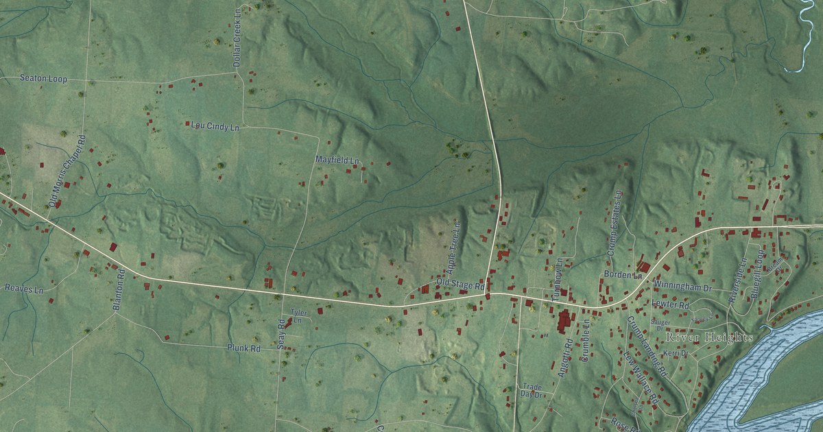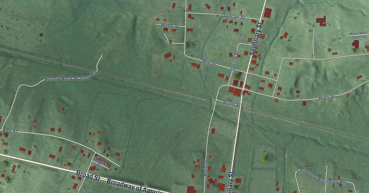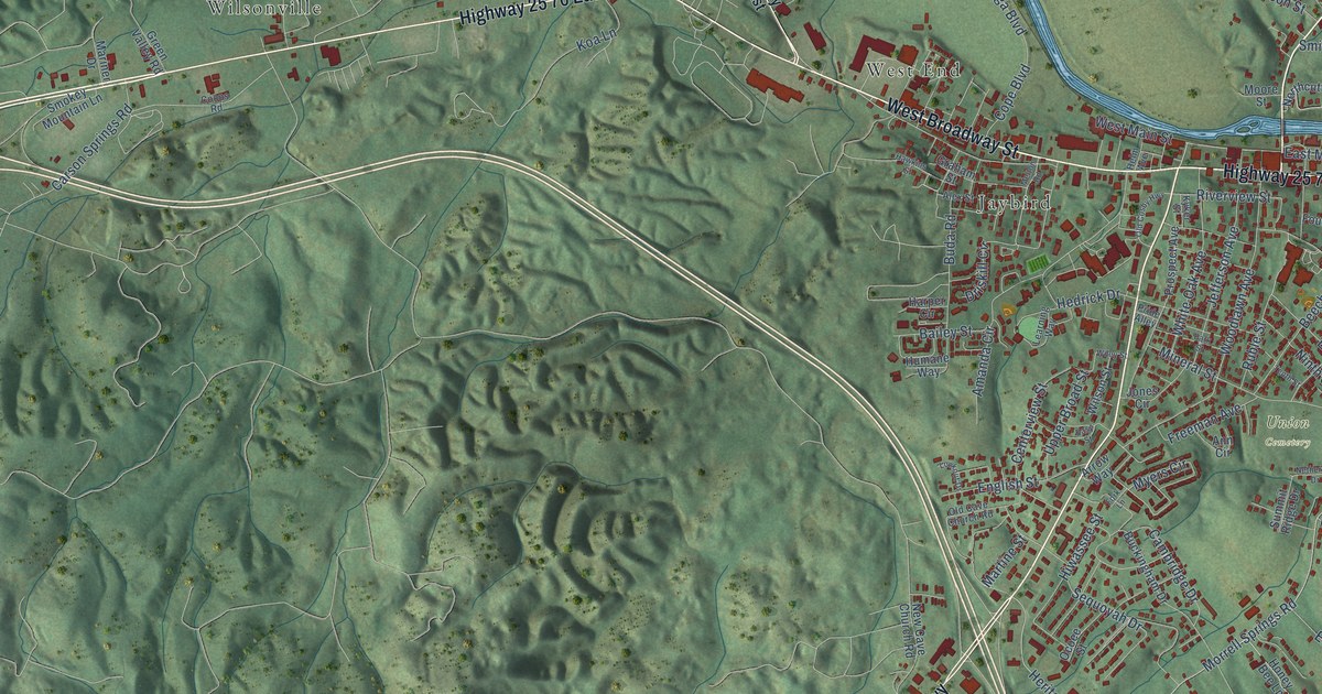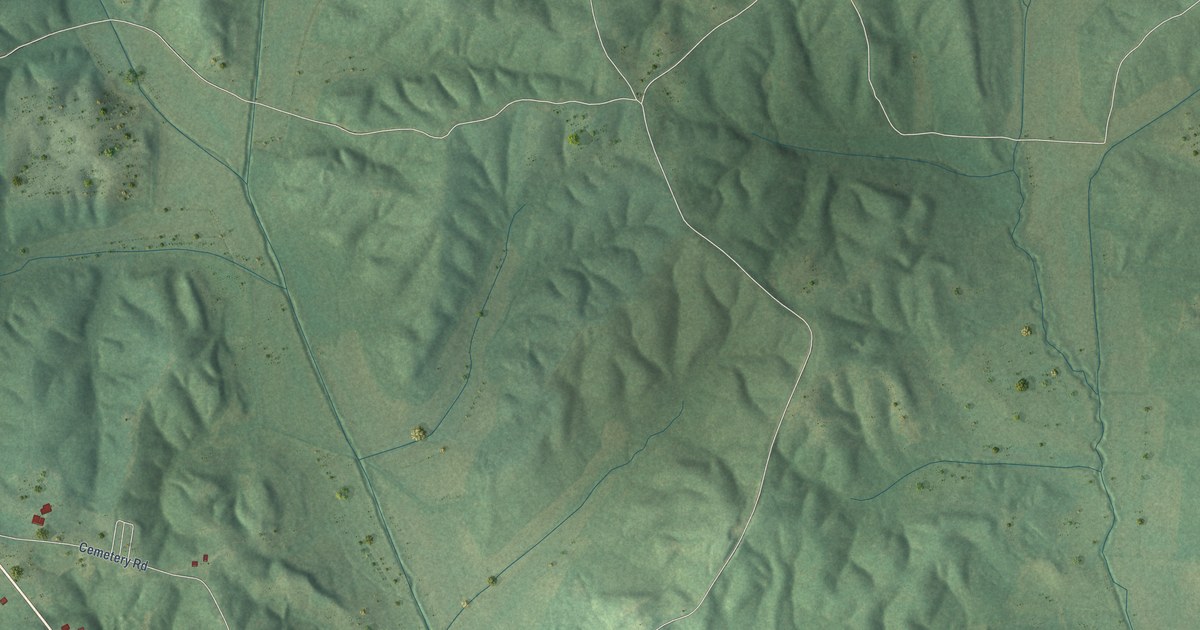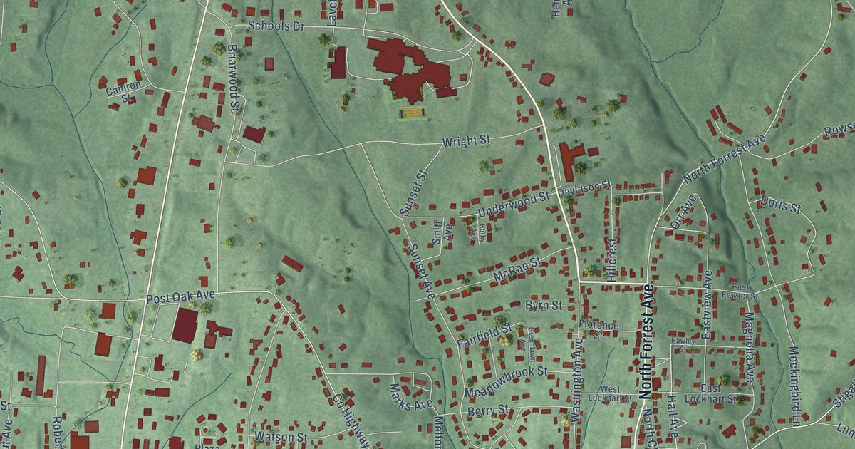
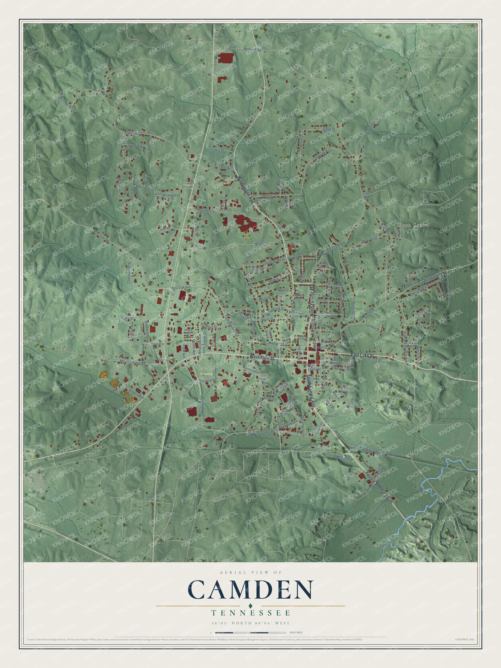
This beautifully detailed map of Camden, Tennessee was created in 2026 using aerial imagery combined with modern topographical, census, street and landmark data. It's a modern aerial view of Camden in Benton County, Tennessee, that combines modern data with a vintage aesthetic. The roads feature printed names, and if you look closely you can find your exact house accurately shown in its correct location.
Explore an aerial view of Camden, Tennessee
On this map you'll find Black Center, Camden Cemetery, Washington Avenue, South Forrest Avenue, West Main Street, East Lake Street, North Forrest Avenue, Forrest Avenue South, Natchez Trace Road, Fern Avenue, Wyly Place, Co Highway 1749, and more. Each red shape is a building, so zoom in on the preview and look for yours.
Camden has a story worth telling. The Internet Archive puts it this way: "A postoffice named Tranquility had been established
on the great stage route from Memphis to Nashville, about one mile west
of the present town of Camden, and there at the house of Samuel H."
Camden is a city in Benton County. The Census Bureau counted 3,674 people here in 2020.
Take a closer look at the Camden map
Names on this map
These names are printed on this map.
Places: Black Center and Camden Cemetery.
Streets and roads: Washington Avenue, South Forrest Avenue, West Main Street, East Lake Street, North Forrest Avenue, Forrest Avenue South, Natchez Trace Road, Fern Avenue, Wyly Place, County Highway 1749, Derby, Hall Avenue.
More street names, A to Z
Addison Avenue, Ann Avenue, Armory Avenue, Beech Avenue, Berry Street, Beverly Cv, Blakely Street, Bland Street, Briarwood Street, Byrn Street, Camron Street, Cane Street, Channing Circle, Cherokee Avenue, Chestnut Street, City Street, Cole Avenue, Cottonwood Street, County Highway 1764, County Highway 1768, Davidson Street, Derby Street, Dobson Avenue, Dogwood Avenue, Doris Street, Doty Street, East Frazier Street, East Lockhart Street, East Main Street, Eastside Drive, Eastview Avenue, Evergreen Avenue, Extension Street, Factory Street, Fairfield Street, Flatwoods Road, Florence Street, Flower Avenue, George Street, Gravel Street, Greenlawn Avenue, Halls Trailor Court, Hargis Road, Hawley Street, Hazelnut Avenue, Hedge Drive, Hemlock Avenue, Henry Street, Highland Heights Avenue, Hillcrest, Holland Street, Hospital Drive, Hummingbird Circle, Industrial Road, Ivy Street, Judith Avenue, Kathy Avenue, Laurel Street, Laveta Lane, Leona Street, Little Jim Road, Longview Street, Lowry Street, Lumber Street, Mabry Street, Madden Street, Magnolia Avenue, Maple Avenue, Marks Avenue, McKelvy Road, McRae Street, Meadowbrook Street, Melon Drive, Melton Avenue, Mimosa Street, Mockingbird Lane, Morningside Avenue, Mount Carmel Road, North Church Avenue, Norwood Drive, Oakdale Road, Oak Hill Street, Oak Street, Old Mill Circle, Old US Highway 70, Omar Circle, Orr Avenue, Park Street, Plaza Street, Poplar Street South, Post Oak Avenue, Post Oak Road, Railroad Drive, Robertson Avenue, Robin Avenue, Rowsey Street, Schools Drive, Smith Avenue, Stigall Street, Sunset Avenue, Sunset Street, Timbercrest Circle, Timothy Drive, Turnpike Avenue, Tyann Avenue, Underwood Street, Vicksburg Avenue, Victor Street, Vine Street, Walnut Street, Ward Street, Watson Street, West Lockhart Street, Westview Avenue, Willow Street, Wood Avenue, Woodland Drive, Wren Avenue, Wright Street, Wyly Street.
Created by KNOWOL in 2026. The buildings are small red shapes, the roads carry their printed names, and shaded relief shows the shape of the land. The title panel reads "AERIAL VIEW OF CAMDEN TENNESSEE" with 36°03' NORTH 88°06' WEST.
It looks right in a kitchen, an office or a den, and it's a gift for anyone who grew up in Camden or moved away. Open the preview and find your street. See sizes and frames for the Camden map.