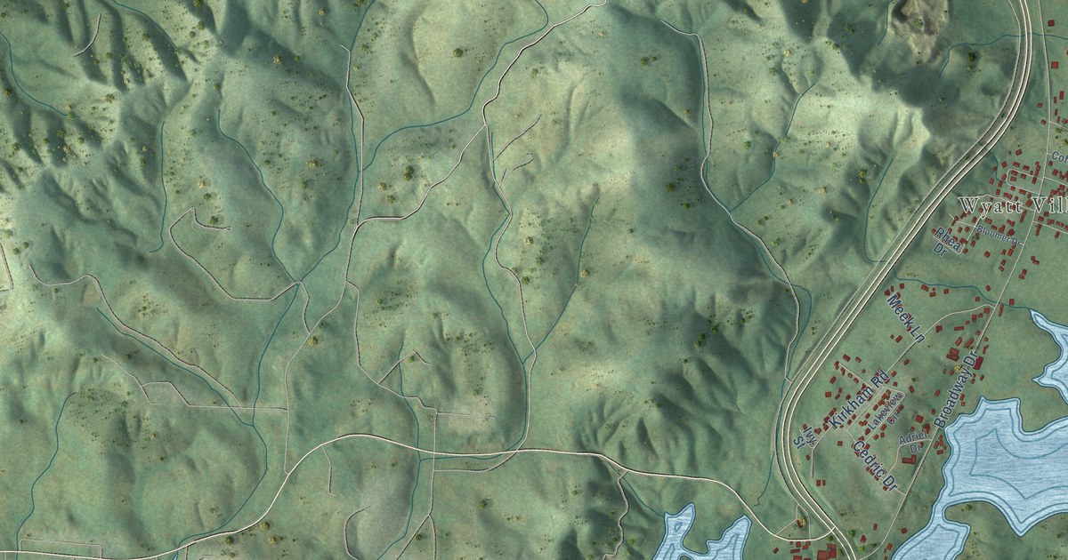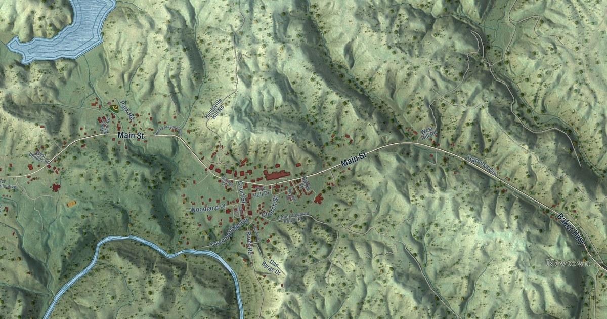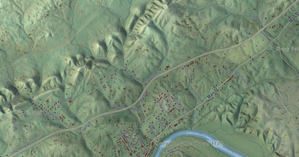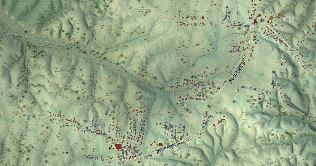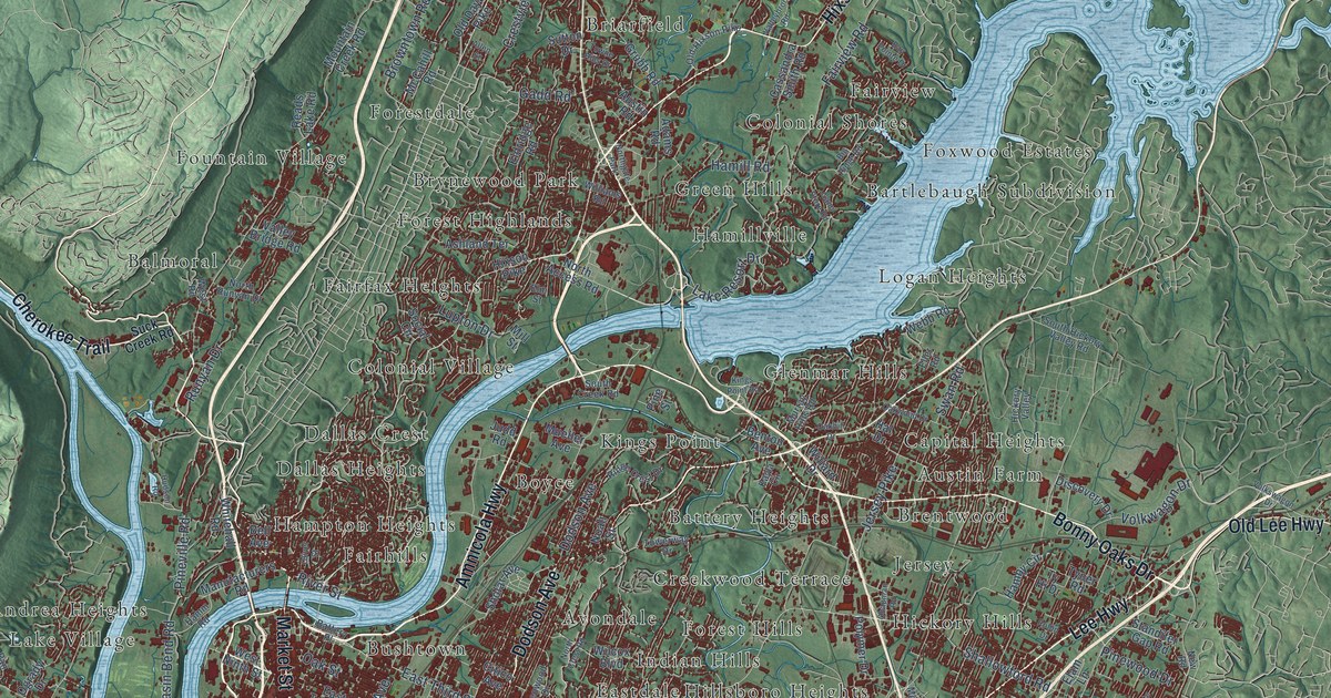
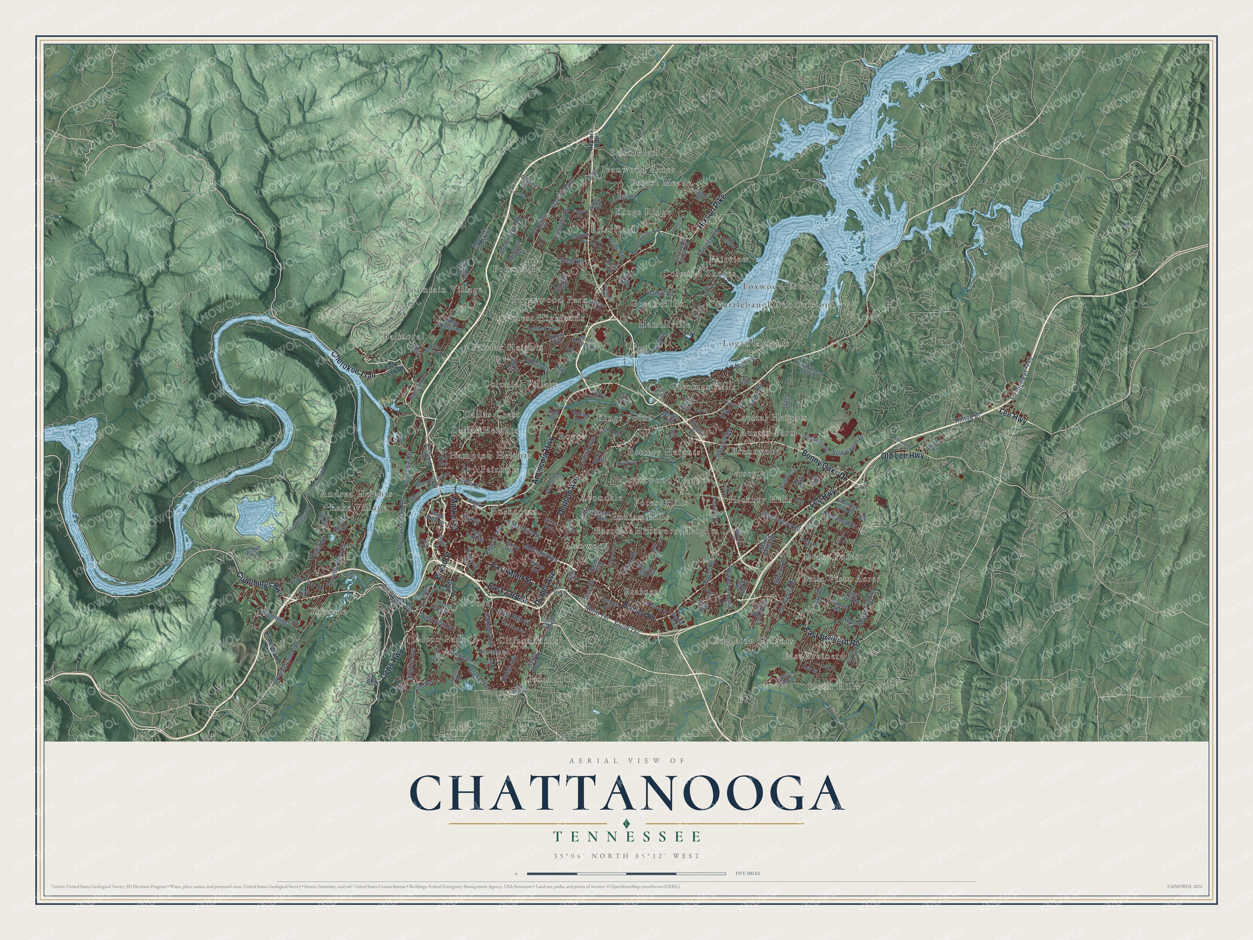
This beautifully detailed map of Chattanooga, Tennessee was created in 2026 using aerial imagery combined with modern topographical, census, street and landmark data. It's a modern aerial view of Chattanooga in Hamilton County, Tennessee, that combines modern data with a vintage aesthetic. The roads feature printed names, and if you look closely you can find your exact house accurately shown in its correct location.
Explore an aerial view of Chattanooga, Tennessee
On this map you'll find Tiftonia, Alton Park, Andrea Heights, Austin Farm, Avondale, Balmoral, Bartlebaugh Subdivision, Battery Heights, Bella Vista Acres, Boyce, Brainerd, Brentwood, and more. Each red shape is a building, so zoom in on the preview and look for yours.
Here is a piece of Chattanooga history, in the words of the record. The record at tennesseeencyclopedia.net puts it this way: "In the mid-1500s Mississippian natives interacted with the region's first white visitors when the expeditions of Spanish conquistadors camped nearby."
Chattanooga is a city in Hamilton County. The Census Bureau counted 181,099 people here in 2020.
Take a closer look at the Chattanooga map
Names on this map
These names are printed on this map.
Places: Tiftonia, Alton Park, Andrea Heights, Austin Farm, Avondale, Balmoral, Bartlebaugh Subdivision, Battery Heights, Bella Vista Acres, Boyce, Brainerd, Brentwood, Briarfield, Brynewood Park, Bushtown, Capital Heights, Cedar Hill, Clifton Hills, Colonial Shores, Colonial Village, Creekwood Terrace, Dallas Crest, Dallas Heights, Drake Forest, East Brainerd, Eastdale, Echo Glen, Engleton Heights, Fairfax Heights, Fairhills, Fairview, Forest Highlands, Forest Hills, Forest Meade, Forestdale, Fountain Village, Foust, Foxwood Estates, Glenmar Hills, Glenwood, Green Hills, Hamillville, Hampton Heights, Hickory Hills, Hillsboro Heights, Indian Hills, Irwin Hills, Ivanwood Acres, Jersey, Kings Point, Kings Ridge, Lake Village, Logan Heights and Northgate Park.
Streets and roads: Bonny Oaks Drive, Lee Highway, Cummings Highway, Amnicola Highway, East 23rd Street, Broad Street, Market Street, Dodson Avenue, Dodds Avenue, Hixson Pike, East Main Street, East Brainerd Road.
More street names, A to Z
Adams Road, Airport Road, Allen Street, Ashland Terrace, Austin Road, Bailey Avenue, Baskette Way, Bass Road, Battery Place, Bay Pointe Drive, Bell Avenue, Benton Avenue, Big Ridge Road, Birmingham Highway, Brainerd Road, Browns Ferry Road, Browntown Road, Calhoun Avenue, Carter Street, Cassandra Smith Road, Central Avenue, Chapman Road, Cherokee Trail, Citico Avenue, Commons Boulevard, Conner Street, Council Fire Drive, County Highway 1145, Courtney Lane, Crestview Drive, Cummings Road, Dayton Boulevard, Debra Road, Discovery Drive, Divine Avenue, Dodson Road, Eagle Drive, East 28th Street, East 31st Street, East 39th Street, East 51st Street, East Tenth Street, East Third Street, East View Drive, Elam Lane, Elder Mountain Road, Eldridge Road, Eller Road, Elm Street, Fairview Road, Friar Road, Gadd Road, Gann Store Road, Gillespie Road, Glenwood Drive, Godsey Lane, Graham Road, Gray Road, Grubb Road, Gunbarrel Road, Hal Drive, Hamby Circle, Hamill Road, Hamm Road, Hickory Valley, Hickory Valley Road, Hilltop Drive, Hooker Road, Hudson Road, Igou Gap Road, Isbill Road, Jersey Pike, Judd Road, Karr Street, Kayla Circle, Kellys Ferry Road, Kings Point Road, Kirkland Avenue, Lake Resort Drive, Lee Avenue, Lower Mill Road, Lupton Drive, Manufacturers Road, Mari Jon Drive, McCahill Road, McCallie Avenue, Meharry Drive, Midland Pike, Mill Street, Moccasin Bend Road, Morin Drive, Morris Hill Road, Mountain Creek Road, Mueller Avenue, Murray Hills Road, New Road, Noah Street, North Access Road, North Concord Road, North Crest Road, North Moore Road, North Runyan Drive, North Terrace, Oak Drive, Oakhill Drive, Oak Street, Oakwood Drive, Ochs Highway, Ogrady Drive, Old Dayton Pike, Old Hixson Pike, Old Lee Highway, Old Mission Road, Old Wauhatchie Pike, Oliver Street, Pan Gap Road, Parker Lane, Pine Street, Pineville Road, Pinewood Drive, Polymer Drive, Premier Drive, Reads Lake Road, Ridge Crest Drive, Ridge Road, River Street, Robin Drive, Rose Circle, Rossville Avenue, Runyan Drive, Saint Elmo Avenue, Shady Fork Road, Shallowford Road, Sholar Avenue, Skyline Drive, Social Circle, South Creek Road, South Crest Road, South Hickory Valley Road, South Market Street, South Terrace, Standifer Gap Road, Suck Creek Road, Sutton Drive, Swan Road, Taggart Road, Talley Road, Towerway Drive, Towne Hills Drive, Tunnel Boulevard, Tva Access Road, Ty Hi Drive, Tyner Road, Valley Bridge Road, Valleybrook Road, Vance Avenue, Vance Road, Virginia Avenue, Vista Drive, Volkswagon Drive, Volkwagon Drive, Wauhatchie Pike, Webb Road, West 19th Street, West 33rd Street, West 37th Street, West 57th Street, West Ninth Street, West Road, Whitehall Road, Wilcox Boulevard, Wilcox Road, Wilder Road, Willard Drive, Williams Road, Wilson Road, Workman Road.
Created by KNOWOL in 2026. The buildings are small red shapes, the roads carry their printed names, and shaded relief shows the shape of the land. The title panel reads "AERIAL VIEW OF CHATTANOOGA TENNESSEE" with 35°06' NORTH 85°12' WEST.
It suits a den, a classroom or a front hall, and it makes a gift for anyone with Chattanooga roots. Open the preview and find the block you know. See sizes and frames for the Chattanooga map.