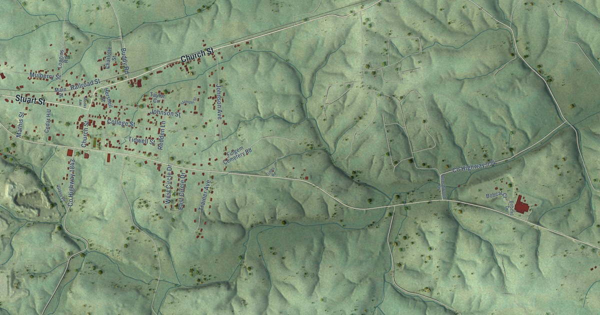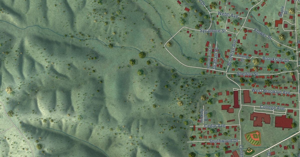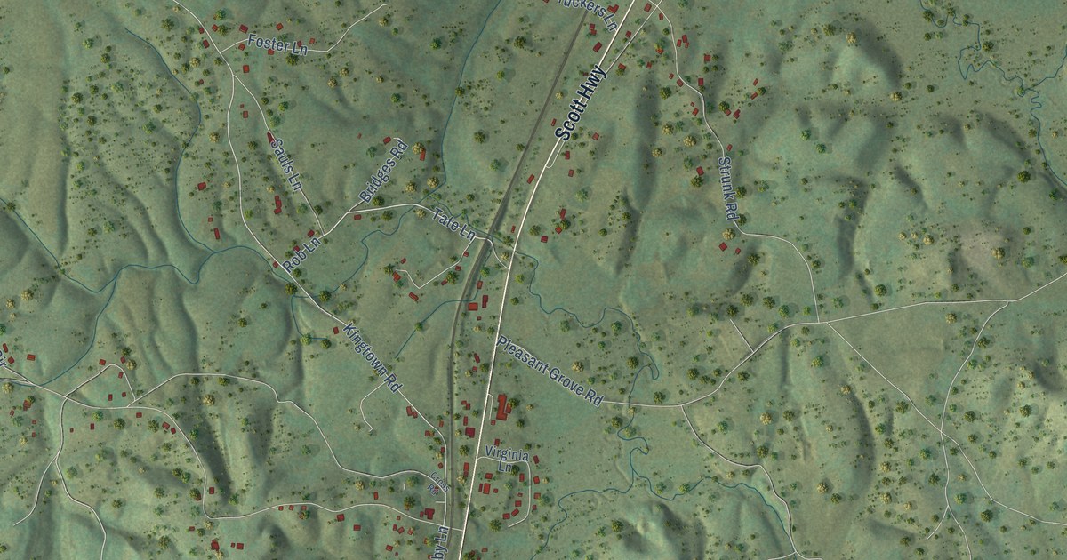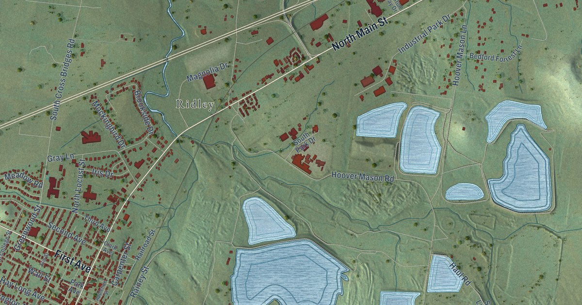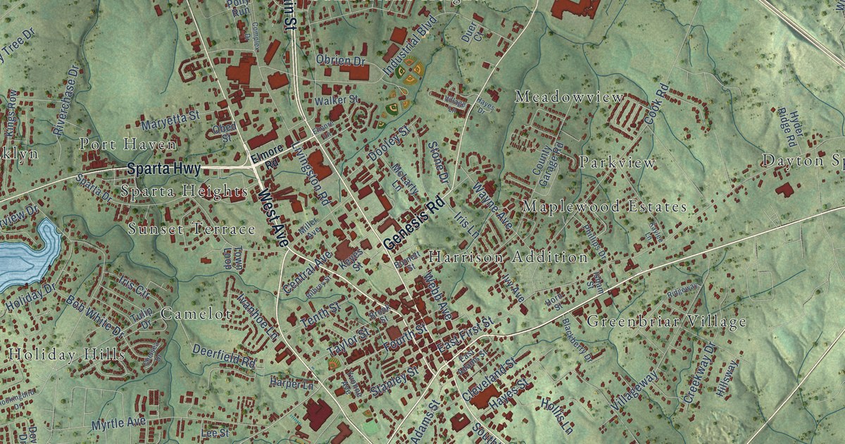
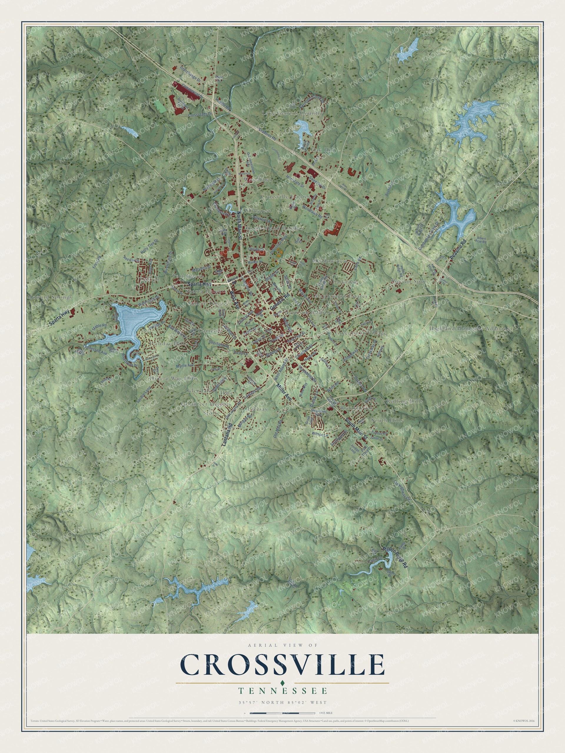
This beautifully detailed map of Crossville, Tennessee was created in 2026 using aerial imagery combined with modern topographical, census, street and landmark data. It's a modern aerial view of Crossville in Cumberland County, Tennessee, that combines modern data with a vintage aesthetic. The roads feature printed names, and if you look closely you can find your exact house accurately shown in its correct location.
Explore an aerial view of Crossville, Tennessee
On this map you'll find Brookhaven, Camelot, Crossville Estates, Cumberland Heights, Dayton Spur, Glendale, Greenbriar Village, Hale, Harrison Addition, Hide-a-Way Hills, Highland Homesite Addition, Hillcrest, and more. Each red shape is a building, so zoom in on the preview and look for yours.
Crossville has a story worth telling. The record at tennesseeencyclopedia.net puts it this way: "In 1940 York came to the Hotel Taylor in Crossville to sign the contract for the making of the movie Sergeant York."
Crossville is a city in Cumberland County. The Census Bureau counted 12,071 people here in 2020.
Take a closer look at the Crossville map
Names on this map
These names are printed on this map.
Places: Brookhaven, Camelot, Crossville Estates, Cumberland Heights, Dayton Spur, Glendale, Greenbriar Village, Hale, Harrison Addition, Hide-a-Way Hills, Highland Homesite Addition, Hillcrest, Holiday Hills, Howard Springs, Lake Genesis Country, Livesay, Maplewood Estates, Meadowview, Oak Hill, Oaklyn, Parkview, Port Haven, Rolling Hills, South Hills, Sparta Heights, Storie, Sunset Terrace, Volunteer Heights and Woodlawn.
Streets and roads: North Main Street, Lantana Road, Miller Avenue, West Avenue, Peavine Road, Sparta Highway, Genesis Road, South Main Street, Pigeon Ridge Road, Fourth Street, Northside Drive, Interstate Drive.
More street names, A to Z
Albert Frye Road, Beehive Lane, Bible Way, Bilbrey Street, Blackberry Drive, Bluff Road, Bob White Drive, Brook Street, Burnett Street, Cabin Drive, Camp Drive, Central Avenue, Charleston Lane, Chelsea Drive, Chestnut Hill Road, Cleveland Street, Commercial Drive, Complex Drive, Cook Road, Cottonpatch Drive, County Garage Road, County Seat Road, Cox Avenue, Crabtree Road, Creekway Drive, Crossroads Drive, Cumberland View Drive, Davidson Court, Dayton Avenue, Deerfield Road, Dooley Street, Dove Drive, Duer Court, Dunbar Lane, East Adams Street, East Deer Creek Drive, East First Street, Elmore Lane, Elmore Road, Enterprise Drive, Flamingo Drive, Frost Road, Golf Club Lane, Goose Pointe, Grove Loop, Harper Lane, Hayes Drive, Hayes Street, Hillcrest Drive, Hillsway, Holiday Court, Holiday Drive, Hollis Lane, Holly Tree Drive, Horn Street, Huddle Road, Hyder Ridge Road, Industrial Boulevard, Interchange Drive, Iris Circle, Iris Lane, Isham Street, Ivanhoe Lane, Ivy Avenue, Jada Drive, Jantel Drive, Jordan Loop, Justice Street, Kaylee Lane, Keyes Street, Kings Row, Lee Street, Livingston Road, Malver Drive, Maryetta Street, Matherly Street, McLarty Lane, Mockingbird Drive, Morgan Road, Myrtle Avenue, Obed Lane, Obed Street, Obrien Drive, Old Highway Circle, Old Jamestown Highway, Old Lantana Road, Old Mail Road, Park Lane, Park Trace Drive, Peterbilt Lane, Phillips Drive, Play Drive, Pony Run, Porcelain Tile Drive, Quail Ridge Drive, Red Dog Saloon Road, Red Oak Drive, Regency Parkway, Ridgeway, Riverbend Drive, Riverchase Drive, River Otter Drive, Riverview Drive, Shepherds Way, Southbend Drive, South Drive, Southgate Drive, South Old Mail Road, Sparta Drive, Spiers Way, Spruce Loop, Stable Road, Stanley Street, Stone Drive, Stout Drive, Sweeney Drive, Swim Drive, Tabor Drive, Taylor Street, Tennessee Avenue, Tenth Street, Tomlon Road, Town Loop, Tulip Drive, Valley Lane, Village Lane, Villageway, Walker Street, Waterview Drive, Wayne Avenue, Webb Avenue, Wells Road, West Adams Street, Willow Ridge Drive, Wilson Lane, Woodlawn Road, Wyatt Court, Yvonne Avenue.
Created by KNOWOL in 2026. The buildings are small red shapes, the roads carry their printed names, and shaded relief shows the shape of the land. The title panel reads "AERIAL VIEW OF CROSSVILLE TENNESSEE" with 35°57' NORTH 85°02' WEST.
It looks right in a kitchen, an office or a den, and it's a gift for anyone who grew up in Crossville or moved away. Open the preview and find your street. See sizes and frames for the Crossville map.