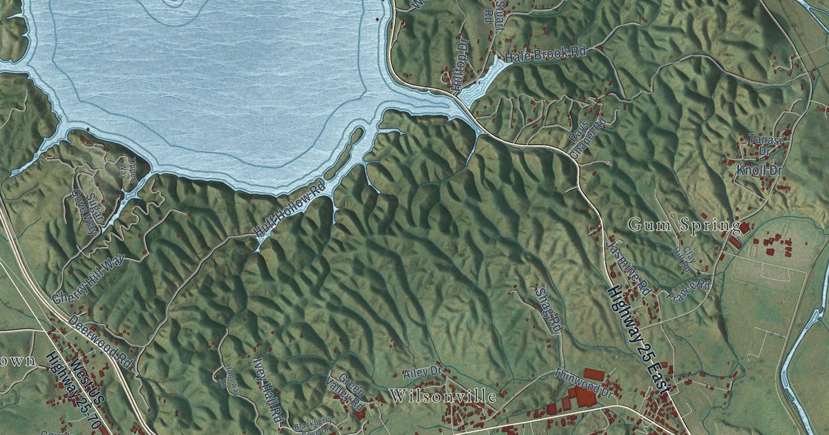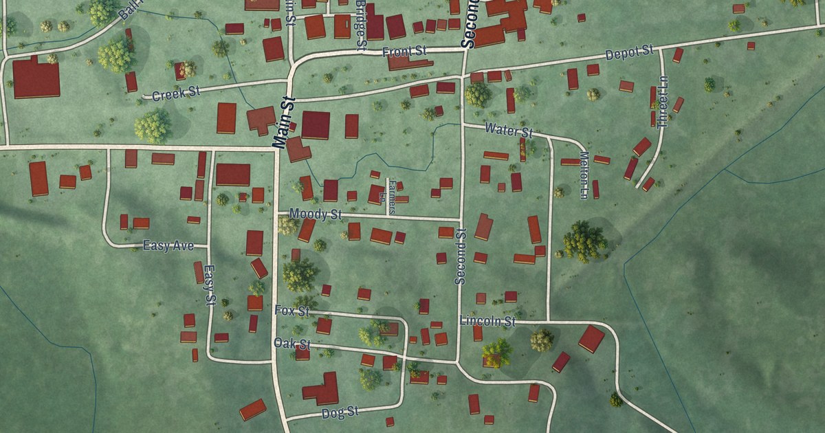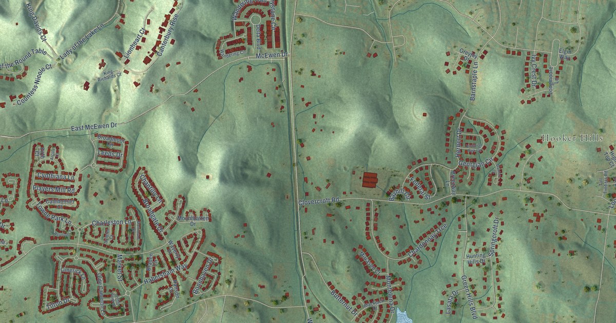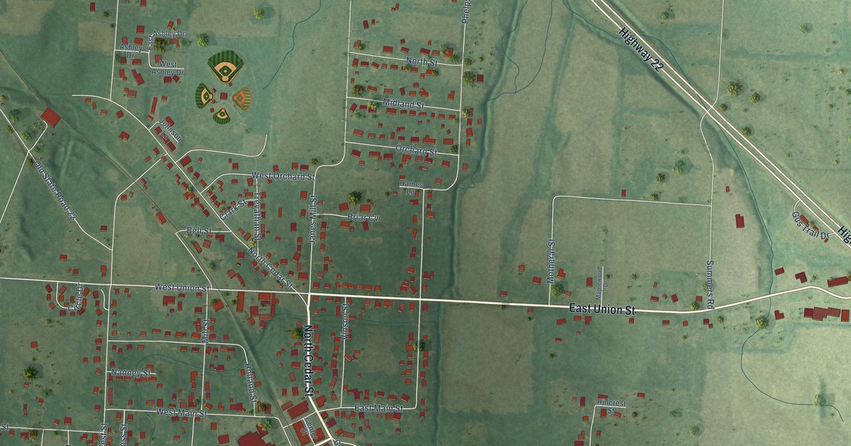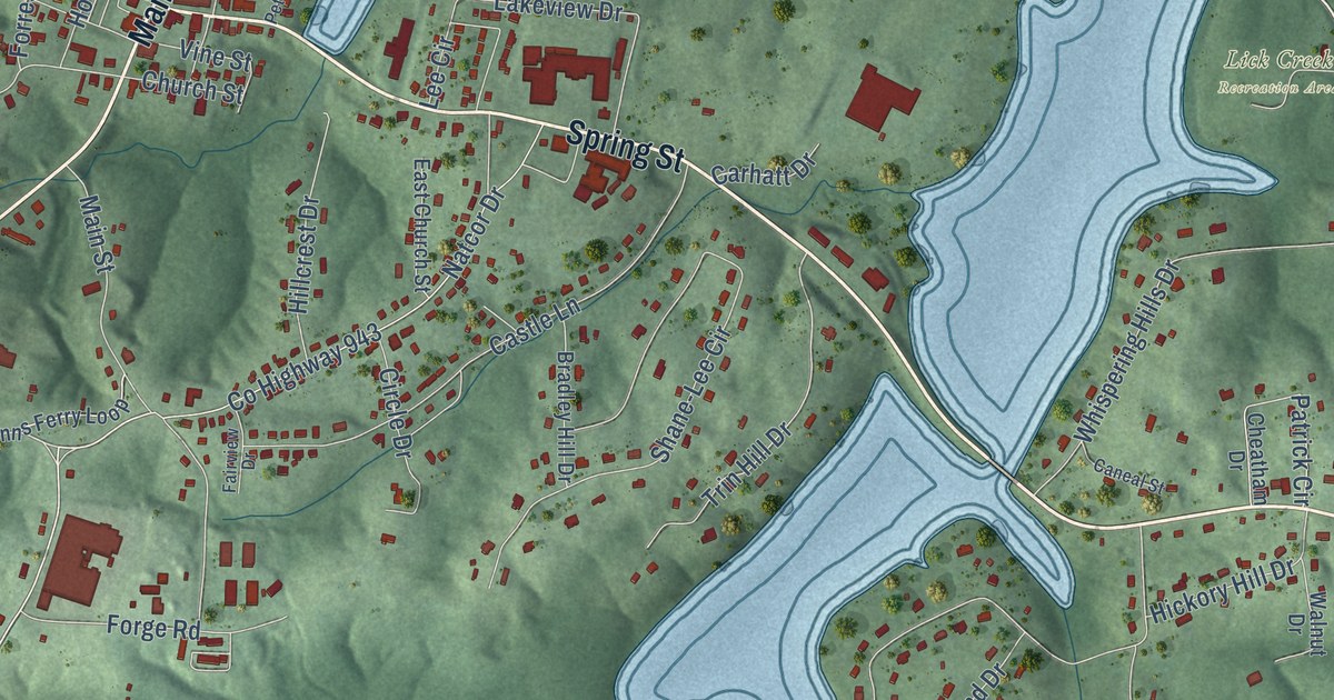
This beautifully detailed map of Dover, Tennessee was created in 2026 using aerial imagery combined with modern topographical, census, street and landmark data. It’s a one-of-a-kind view of Dover that combines accurate data with a vintage aesthetic. The map shows every building in its true location, many of the roads carry their names, and the shaded topographic relief shows the shape of the land.
Explore an aerial view of Dover, Tennessee
On the map you’ll find Lick Creek Recreation Area, along with Austin Peay Memorial Highway, Donelson Parkway, Spring Street, Lake Highway, Main Street, Colson Road, County Highway 943, Natcor Drive, Cedar Street, Wynns Ferry Road, Crow Lane, and more. If you look closely you can even find your house accurately drawn in its correct location. Zoom in on the preview to look for yours.
Did you know this piece of Dover, Tennessee history?
During the 1862 fight for Fort Donelson, General Simon Buckner used the Dover Hotel as his headquarters. Once Buckner agreed to Grant’s terms of surrender, the two generals met there to settle the details. The Battle of Dover in February 1863 destroyed all but four of the town’s buildings, but the hotel survived. That’s from the National Park Service.
Take a closer look at the Dover map
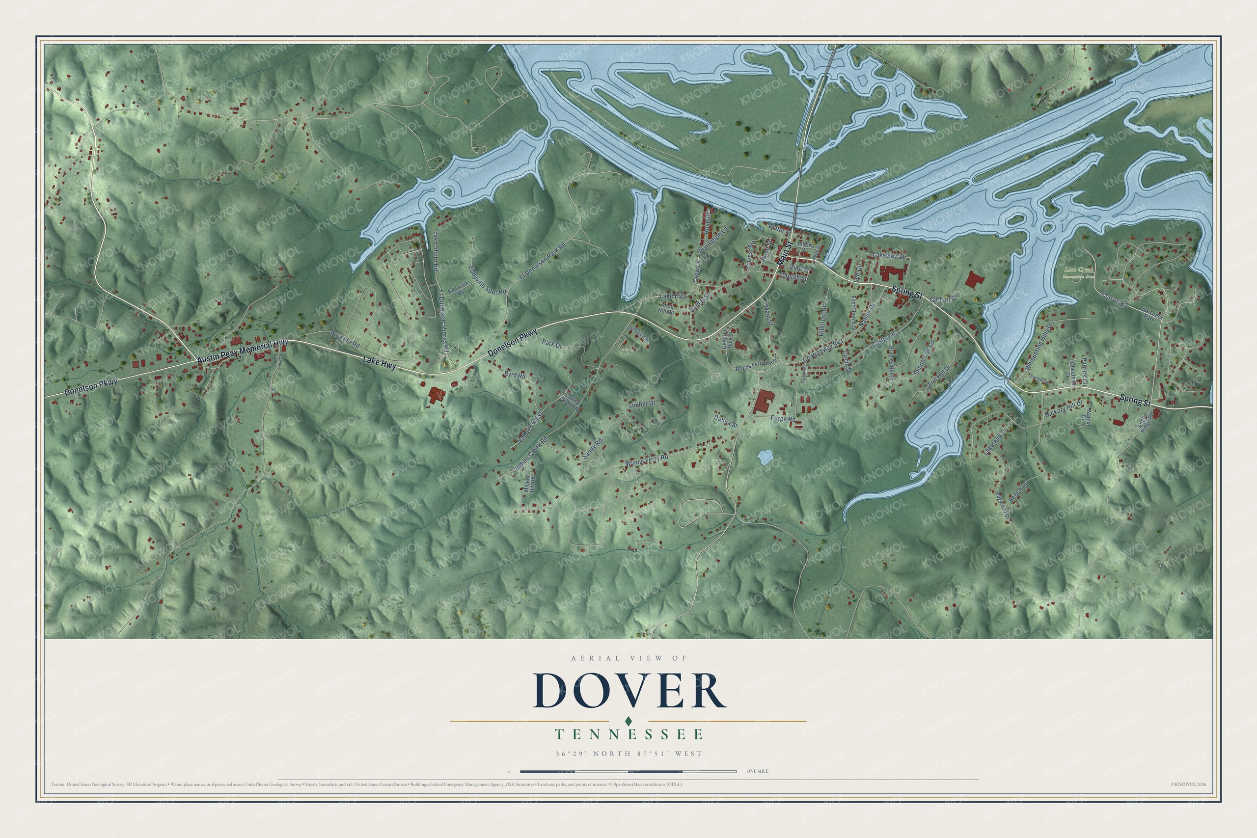
Street and place names on the Dover, Tennessee map
These names are printed on the map of Dover, Tennessee.
Places: Lick Creek Recreation Area and Lick Creek Park.
Streets and roads: Austin Peay Memorial Highway, Donelson Parkway, Spring Street, Lake Highway, Main Street, Colson Road, County Highway 943, Wynns Ferry Road, Natcor Drive, Cedar Street, Crow Lane, Valley Vw Extension.
More street names, A to Z
Anglin Ridge Road, Battlefield Drive, Beech Drive, Bradley Hill Drive, Buckner Road, Byrd Road, Caneal Street, Carhatt Drive, Castle Lane, Cheatham Drive, Church Street, Circle Drive, Dahlia Street, Dogwood Drive, East Church Street, Eddyville Road, Eddyville Spur Road, Fairview Drive, Forge Road, Forrest Street, Ft Donelson Park Road, Ft Donelson Shores Road, General Rice Street, Hickory Hill Drive, Hillcrest Drive, Hood Street, Indian Creek Road, Keel Hollow Road, Knob Hill Road, Lakeland Drive, Lake Shore Road, Lakeview Drive, Lee Circle, Millers Hill Road, Park Drive, Patrick Circle, Petty Street, Pillow Street, Plantation Lane, Rose Drive, Sandy Road, Shane-Lee Circle, Timber Drive, Trin Hill Drive, Valley View Road, Vine Street, Walnut Drive, Water Street, Whispering Hills Drive, Wynns Ferry Loop.
See the Dover, Tennessee map on a wall
The Dover map as an 18 x 24 inch print in a black frame.

This beautifully detailed map of Dover makes an attractive addition to your office, library, or den, and it can even be used to teach children the geography and history of the area. It also makes a great gift for someone who left Dover and still calls it home. When you’re done exploring, click here to get your copy of the Dover map.