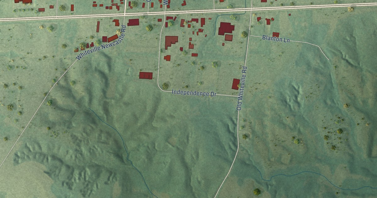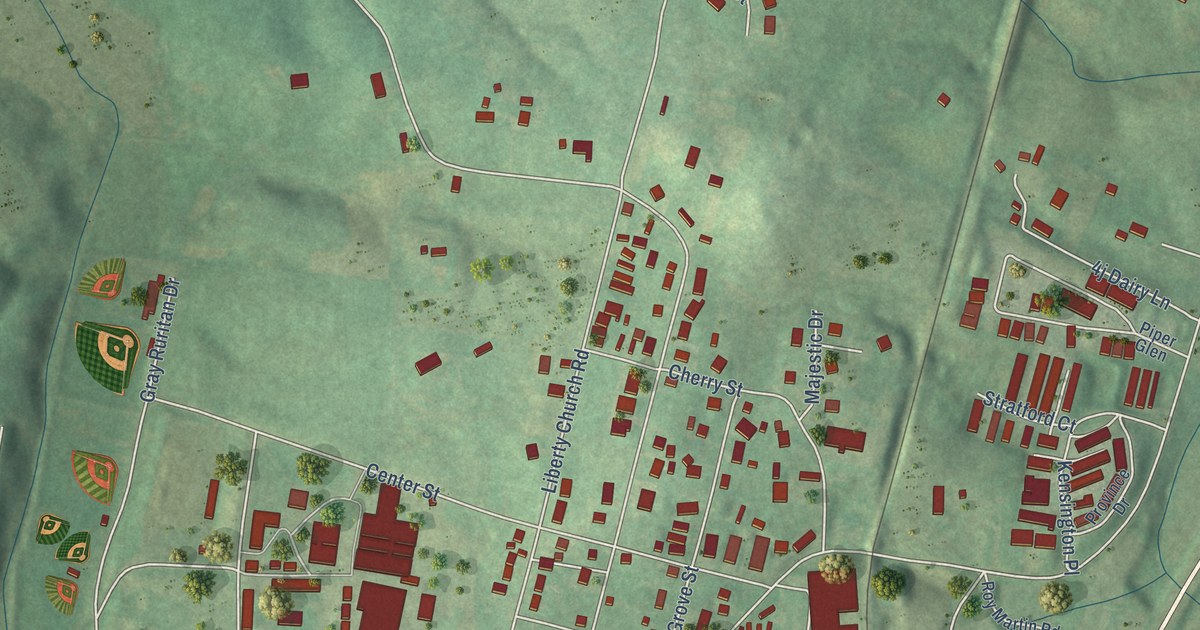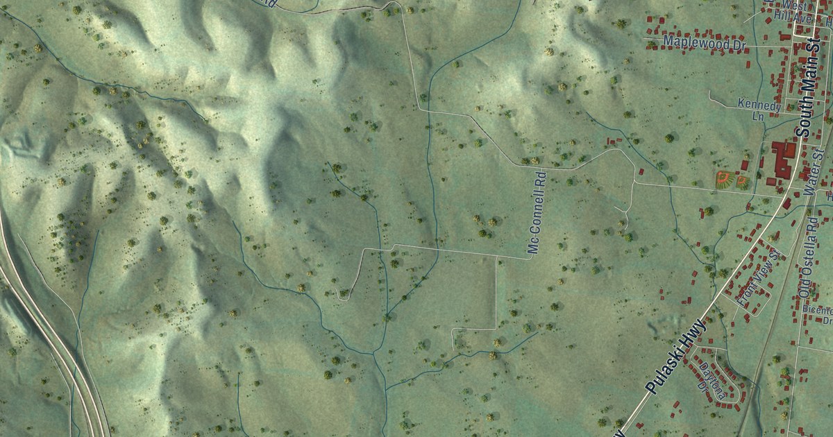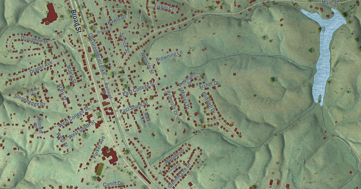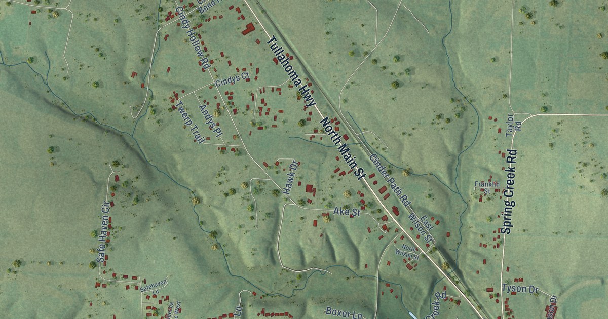
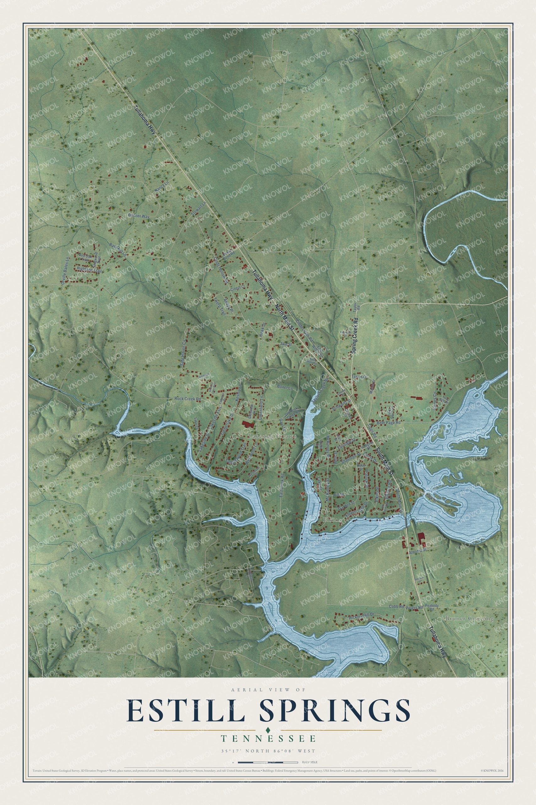
This beautifully detailed map of Estill Springs, Tennessee was created in 2026 using aerial imagery combined with modern topographical, census, street and landmark data. It's a modern aerial view of Estill Springs in Franklin County, Tennessee, that combines modern data with a vintage aesthetic. The roads feature printed names, and if you look closely you can find your exact house accurately shown in its correct location.
Explore an aerial view of Estill Springs, Tennessee
On this map you'll find Bruner Crossing, Elkins, Lakeside Estates, South Main Street, North Main Street, Tullahoma Highway, Spring Creek Road, Peters Road, Cindy Hollow Road, Park Street, Elkacre Road, Rock Creek Road, and more. Each red shape is a building, so zoom in on the preview and look for yours.
Estill Springs has a story worth telling. The Internet Archive puts it this way: "Estill
Springs on the Nashville & Chattanooga Railroad, was formerly a summer resort, and
frequently contained a summer population of several hundred."
Estill Springs is a town in Franklin County. The Census Bureau counted 2,267 people here in 2020.
Take a closer look at the Estill Springs map
Names on this map
These names are printed on this map.
Places: Bruner Crossing, Elkins and Lakeside Estates.
Streets and roads: South Main Street, North Main Street, Tullahoma Highway, Spring Creek Road, Peters Road, Cindy Hollow Road, Park Street, Elkacre Road, Rock Creek Road, Eastbrook Road, Bonner Way, Beth Page Road.
More street names, A to Z
Ake Street, Alsonia Street, Andys Place, Bass Hill Lane, Boxer Lane, Cadance Drive, Chase Bend Road, Cherry Street, Church Street, Cinder Path Road, Cindys Court, Circle Drive, Clark Street, Cobb Road, Dogwood Trail, East Wilson Street, Elk Acre Drive, Elkins Street, Fairview Street, Flower Lane Drive, Franklin Street, Gaines Circle, Garden Street, Gaul Street, Glenview Drive, Greenfield Lane, Hawk Drive, Hickory Hill Drive, Highland Trail, Hill Street, Hudgins Street, Johnson Street, Keshia Lane, Lake Court, Lakeside Drive, Lakeside Ests, Lake Street, Mason Drive, Mc Kinney Street, McKinney Street, Nancy Lane, North Wilson Street, Old Rock Creek Road, Orville Bates Lane, Patrick Street, Peabody Road, Quail Court, Rebecca Lane West, Red Oak Trail, Rose Street, Safe Haven Circle, Safehaven Lane, Schwartz Street, Shasteen Street, Stewart Lane, Tanglewood Trail, Taylor Road, Taylors Creek Road, Terry King Drive, Timberlake Drive, Tipps Road, Trotters Circle, Tulip Tree Trail, Twerp Trail, Tyson Drive, Wells Street, Westwood Court, Westwood Lane.
Created by KNOWOL in 2026. The buildings are small red shapes, the roads carry their printed names, and shaded relief shows the shape of the land. The title panel reads "AERIAL VIEW OF ESTILL SPRINGS TENNESSEE" with 35°17' NORTH 86°08' WEST.
It looks right in a kitchen, an office or a den, and it's a gift for anyone who grew up in Estill Springs or moved away. Open the preview and find your street. See sizes and frames for the Estill Springs map.