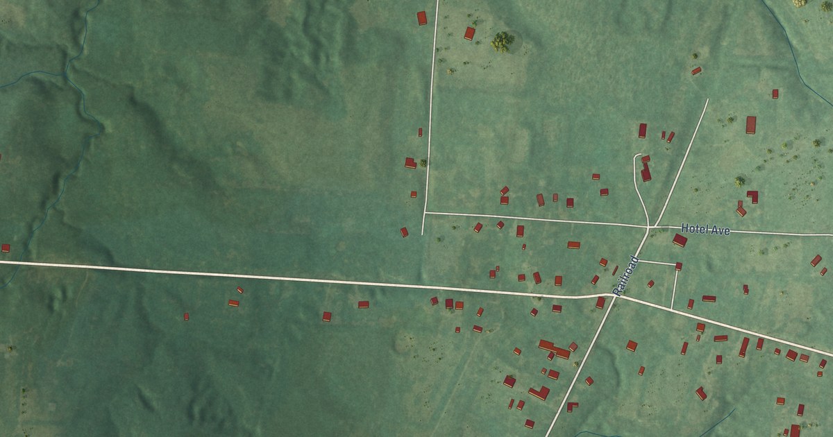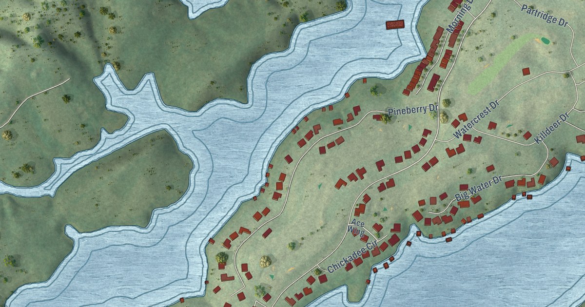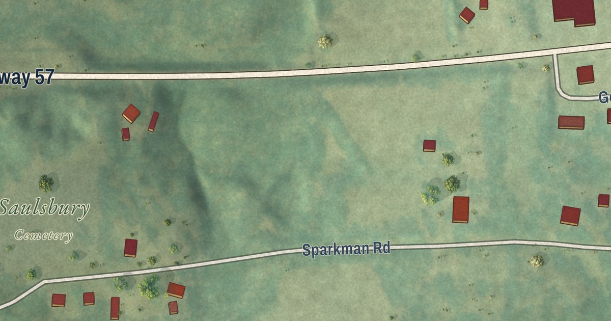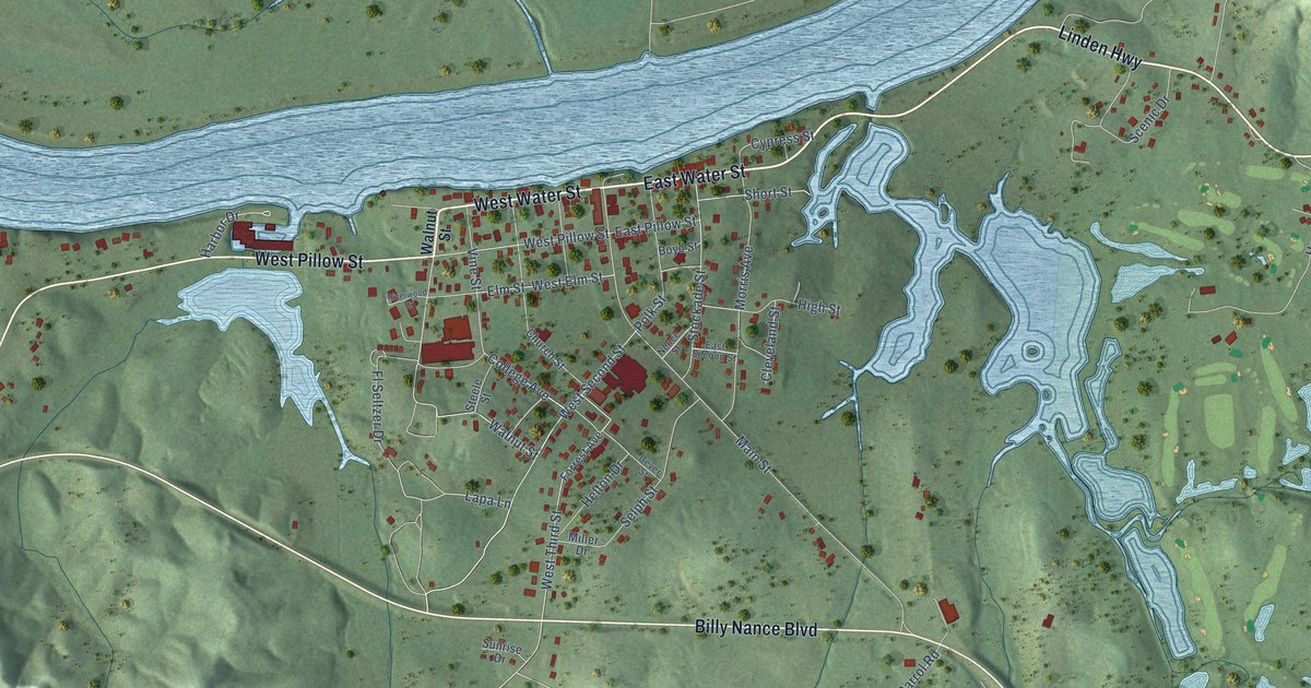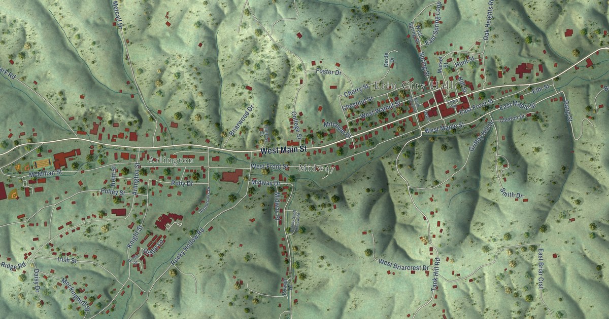
This beautifully detailed map of Erin, Tennessee was created in 2026 using aerial imagery combined with modern topographical, census, street and landmark data. It’s a one-of-a-kind view of Erin that combines accurate data with a vintage aesthetic. The map shows every building in its true location, many of the roads carry their names, and the shaded topographic relief shows the shape of the land.
Explore an aerial view of Erin, Tennessee
On the map you’ll find Erin City Hall, Arlington, and Midway, along with West Main Street, East Main Street, Highway 149, Tank Hill Road, Spring Street, West Maple Street, East Maple Street, East Front Street, Gang Street, and more. If you look closely you can even find your house accurately drawn in its correct location. Zoom in on the preview to look for yours.
Did you know this piece of Erin, Tennessee history?
From Tennesseeencyclopedia.net: "By 1857 the Memphis, Clarksville and Louisville Railroad had been built from Guthrie to near the Tennessee ridge, where a depot was built at a village later known as Erin Station, located about one-half mile east of the present town of Erin."
Take a closer look at the Erin map
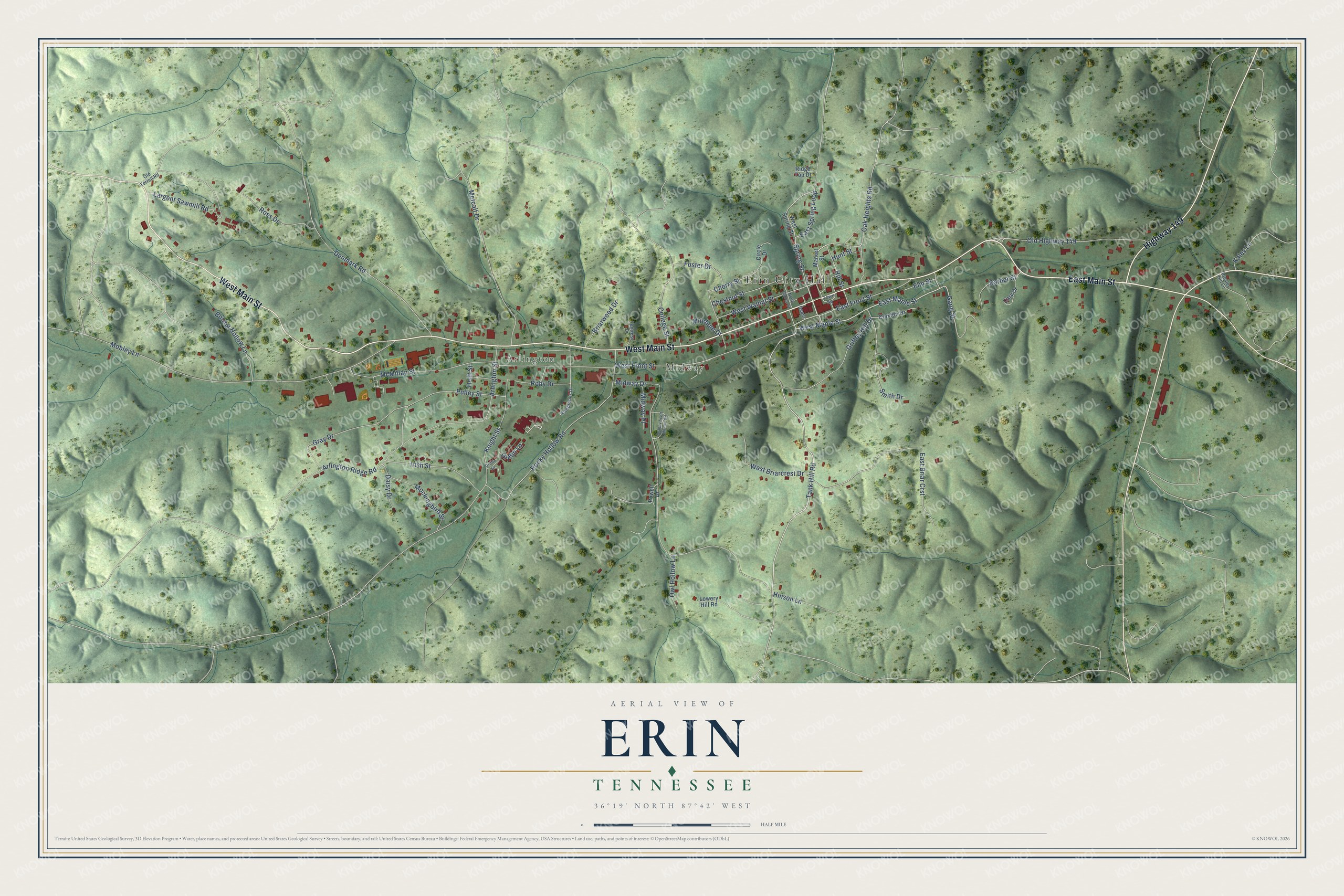
Street and place names on the Erin, Tennessee map
These names are printed on the map of Erin, Tennessee.
Places: Erin City Hall, Arlington and Midway.
Streets and roads: West Main Street, East Main Street, Highway 149, Tank Hill Road, Spring Street, West Maple Street, East Maple Street, East Front Street, Gang Street, Smith Drive, East Spring Loop, Midway Drive.
More street names, A to Z
Alsobrooks Drive, Arlington Ridge Road, Arlington Street, Barber Street, Booker Hollow Lane, Briarwood Drive, Cary Drive, Cherry Street, Chestnut Street, Circle Drive, Claxton Drive, College Street, Daisy Drive, Denmark Road, Depot, East Briar Crst, Elm Street, Fentress Drive, Foster Drive, Granny Scott Hollow Road, Gray Drive, Griffey Hill Drive, Griffin Drive, Griffin Lane, Heitt Street, Hill Street, Hinson Lane, Hunt Street, Irish Street, Kaley Lane, Knight Street, Largent Sawmill Road, Lowery Hill Road, Market Street, McMillan Street, Metcalf Drive, Midway Place, Mitchum Drive, Mobley Lane, Mockingbird Street, North Church Street, Oak Heights Road, Old Highway 149, Old Terrell Road, Owl Hollow Lane, Powell Drive, Presley Hill Lane, Pulley Street, Ridge Top Drive, Roby Drive, Rocky Hollow Road, Ross Drive, Town Square, West Briarcrest Drive, West Front Street, West Spring Street, West Walnut Street.
See the Erin, Tennessee map on a wall
The Erin map as an 18 x 24 inch print in a black frame.

This beautifully detailed map of Erin makes an attractive addition to your office, library, or den, and it can even be used to teach children the geography and history of the area. It also makes a great gift for anyone with Erin roots. When you’re done exploring, click here to get your copy of the Erin map.