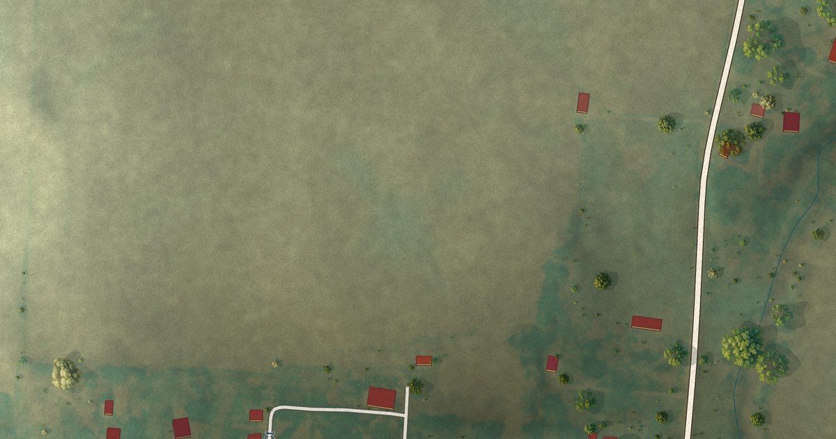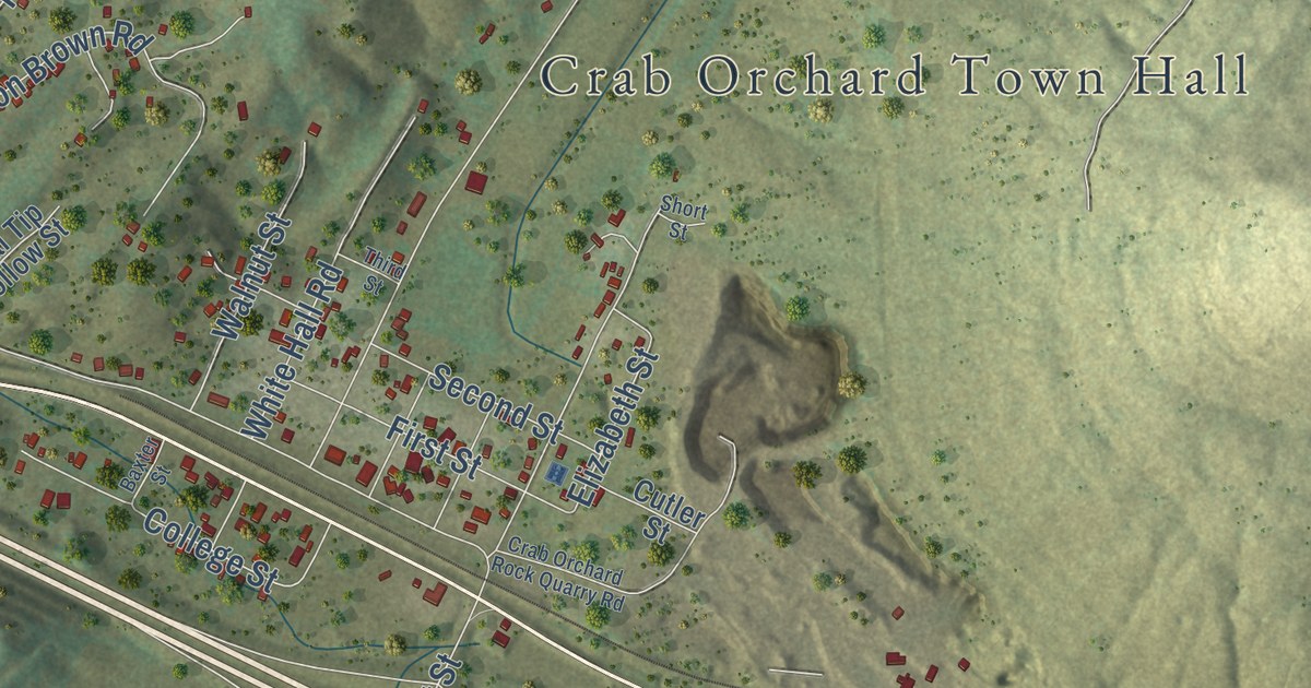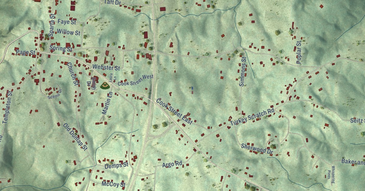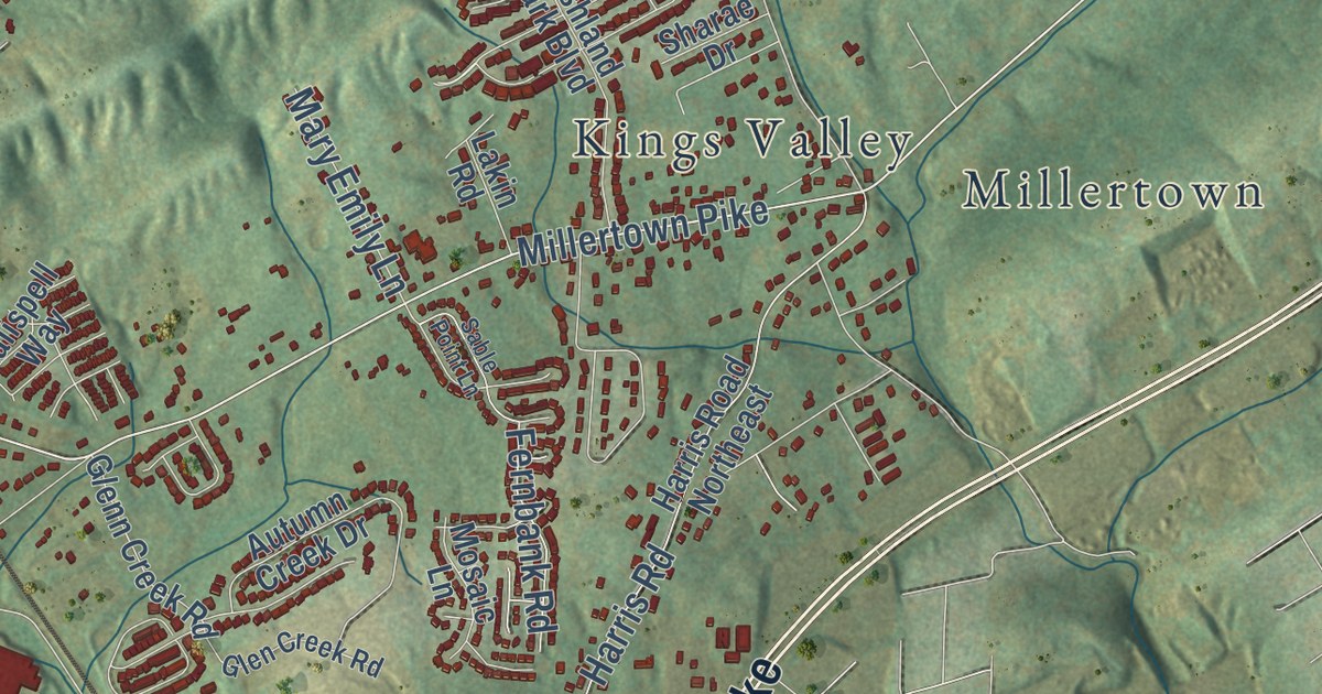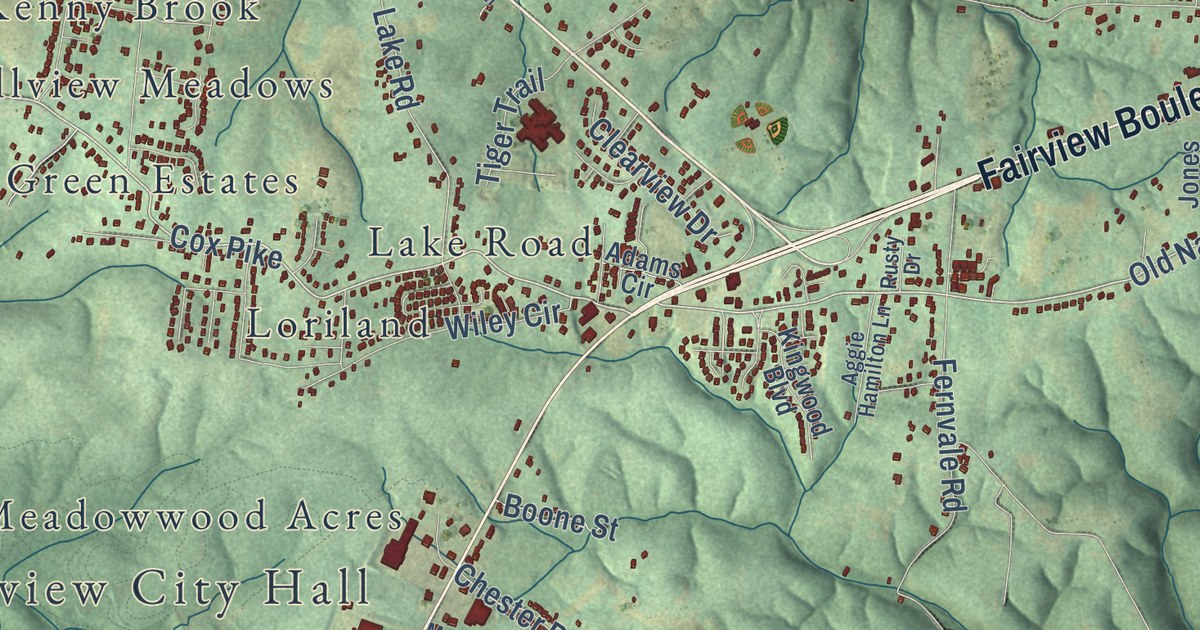
This beautifully detailed map of Fairview, Tennessee was created in 2026 using aerial imagery combined with modern topographical, census, street and landmark data. It’s a one-of-a-kind view of Fairview that combines accurate data with a vintage aesthetic. The map shows every building in its true location, many of the roads carry their names, and the shaded topographic relief shows the shape of the land.
Explore an aerial view of Fairview, Tennessee
On the map you’ll find Fairview City Hall, New Hope, Green Valley, Chester Estates, Clement Lake Estates, Daugherty Estates, Fairview Heights, Glenhaven, Grammer Estates, Hallview Meadows, and Kenny Brook, along with Lake Road, and more. If you look closely you can even find your house accurately drawn in its correct location. Zoom in on the preview to look for yours.
Did you know this piece of Fairview, Tennessee history?
From the National Register of Historic Places: "Triangle School opened in 1939 to consolidate the students and teachers from several area single-teacher one-room schoolhouses."
Take a closer look at the Fairview map
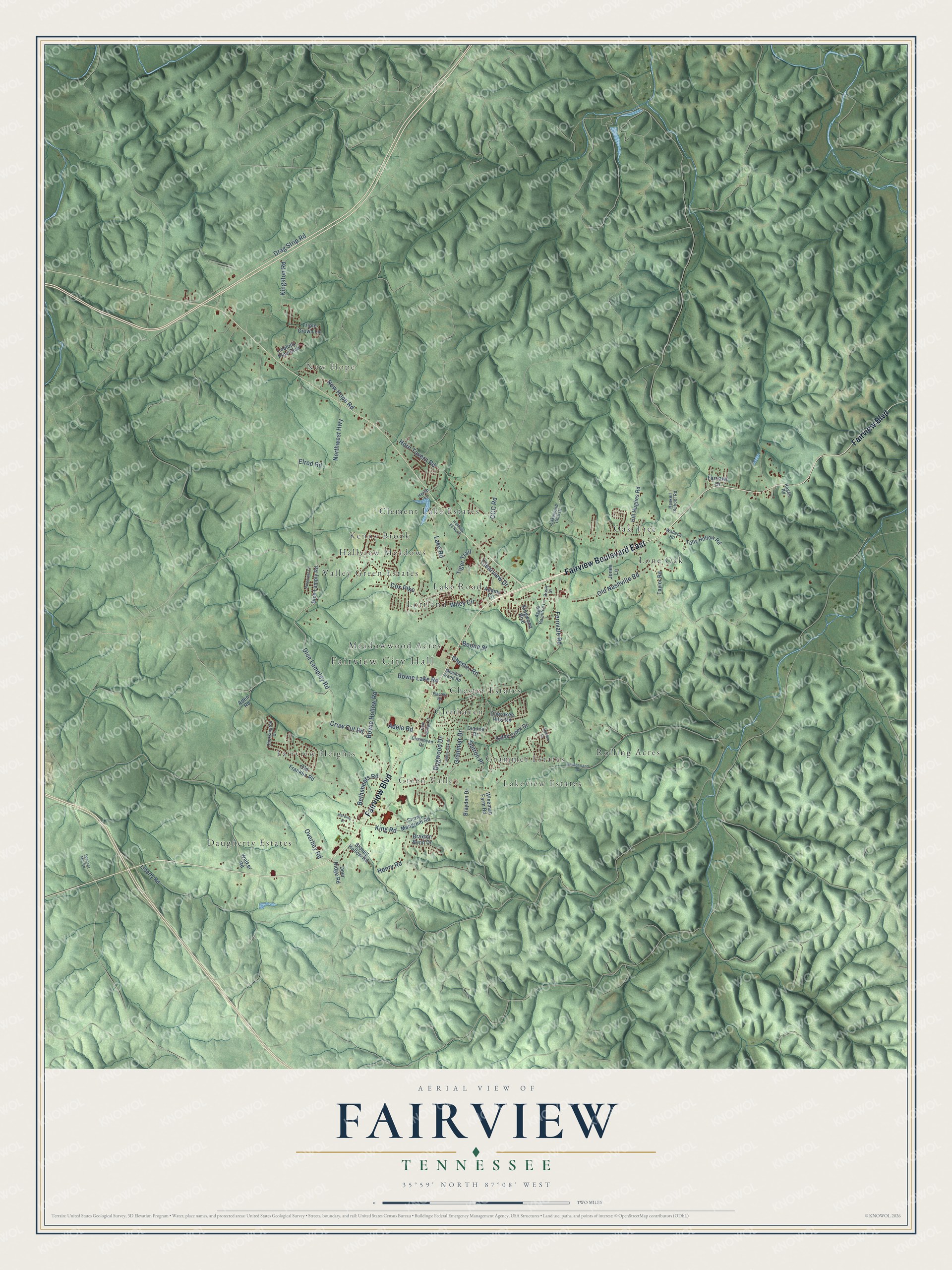
Street and place names on the Fairview, Tennessee map
These names are printed on the map of Fairview, Tennessee.
Places: Fairview City Hall, New Hope, Green Valley, Lone Oak, Daugherty Estates, Clement Lake Estates, Grammer Estates, Lake Road, Valley Green Estates, Rolling Acres, Lakeview Estates, Kenny Brook, Glenhaven, Chester Estates, Loriland, Hallview Meadows, Fairview Heights, Oak Tree and Meadowwood Acres.
Streets and roads: Fairview Boulevard, Fairview Boulevard East, Cox Pike, Dice Lampley Road, Crow Cut Road, Old Nashville Road, Bethshears Road, Horn Tavern Road, Northwest Highway, Fernvale Road, King Road, Drag Strip Road.
More street names, A to Z
Adams Circle, Adele Road, Aden Road, Aggie Hamilton Lane, Boone Street, Bowie Hollow Road, Bowie Lake Road, Braxton Bend Drive, Brayden Drive, CCC Road, Cherokee Hills Road, Chessington Drive, Chester Road, Clearview Drive, Cumberland Drive, Deer Ridge Road, Dianne Drive, Dice Lamply Road, Dogwood Drive, Elrod Road, Fairlawn Drive, Glenhaven Drive, Grammar Drive, Harding Drive, Haskell School Road, Henry Road, Herlie Lane, Highway 96 North, Hill Hughes Road, Hudlow Court, Jones Lane, Kingston Road, Kingwood Boulevard, Kyles Creek Drive, Lakewood Club Drive, Liberty Road, Loblolly Pine Boulevard, Meadow Wood Road, New Hope Road, Old Franklin Road, Overbey Road, Park Village Court, Pinecrest Court, Planters Road, Rogan Road, Rusty Drive, Sleepy Hollow Road, Snow Mangrum Road, Spencer Mill Road, Sutton Place, Tally Hollow Road, Taylor Road, Tiger Trail, Triple Crown Lane, Walker Road, Wallace Road, White Oak Drive, Wiley Circle, Wiseman Farm Road.
See the Fairview, Tennessee map on a wall
The Fairview map as an 18 x 24 inch print in a black frame.

This beautifully detailed map of Fairview makes an attractive addition to your office, library, or den, and it can even be used to teach children the geography and history of the area. It also makes a great gift for someone who left Fairview and still calls it home. When you’re done exploring, click here to get your copy of the Fairview map.