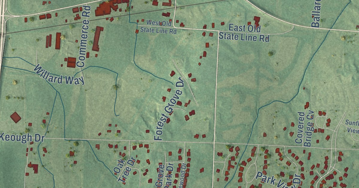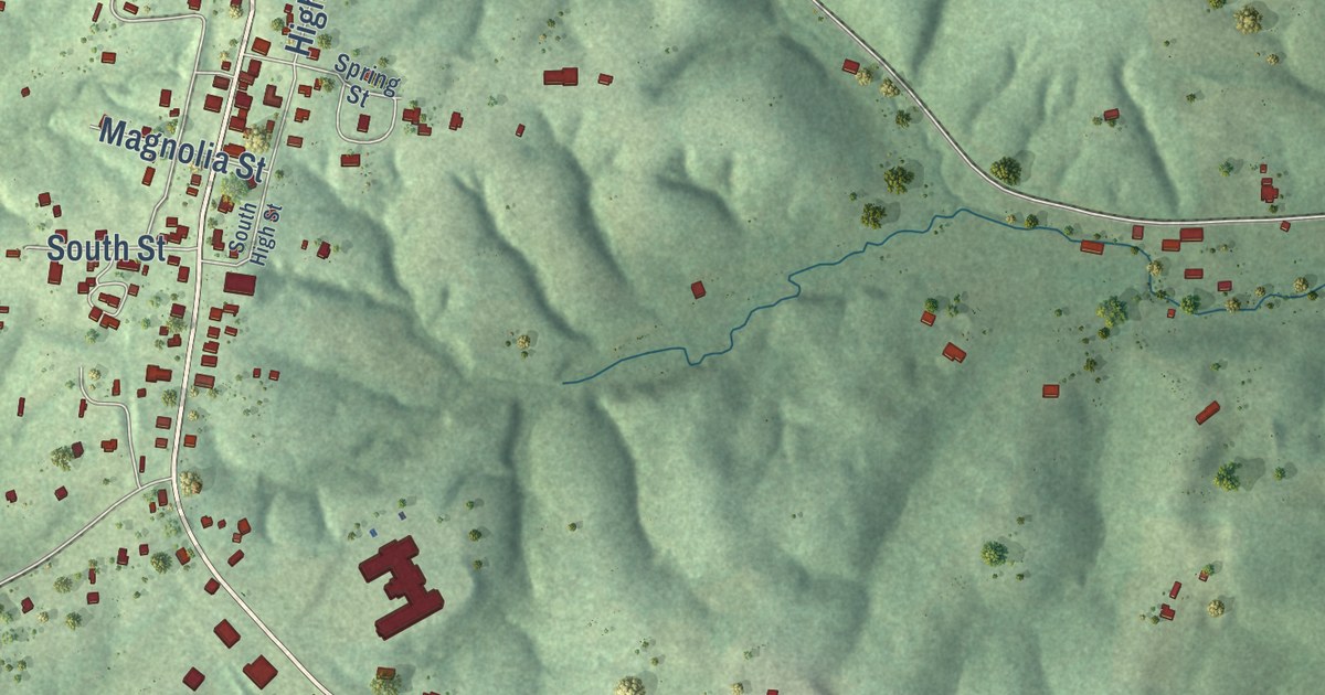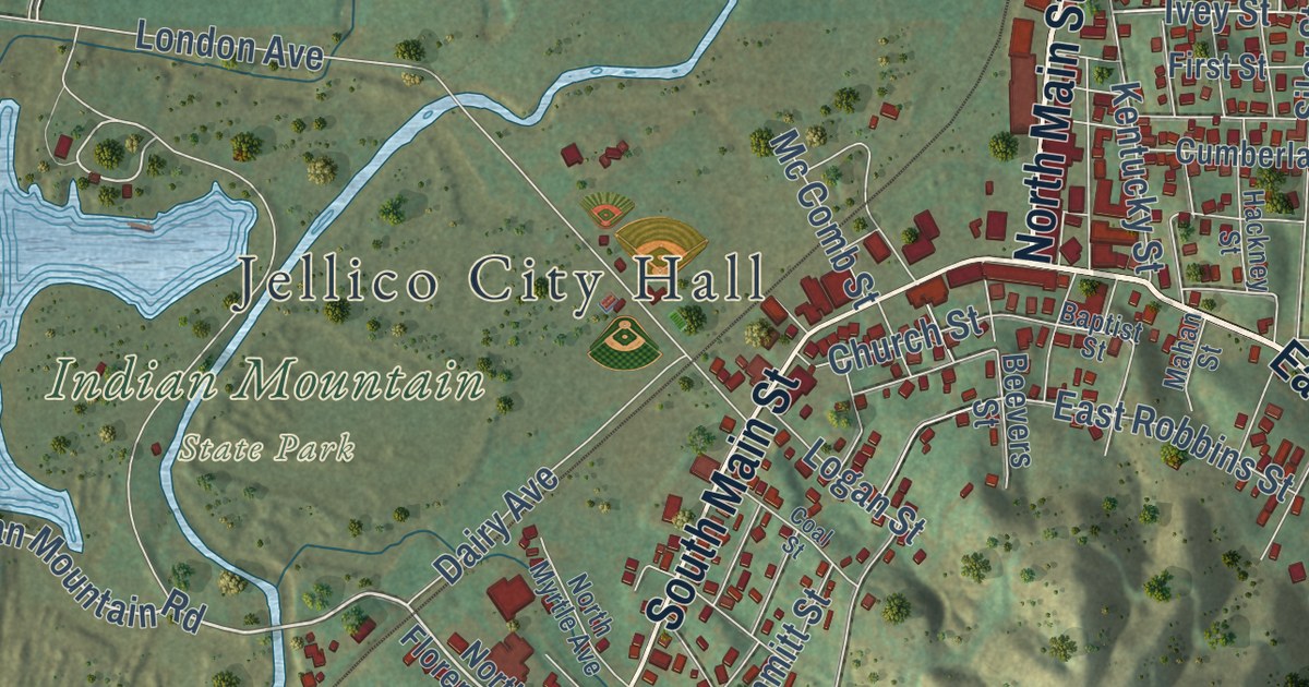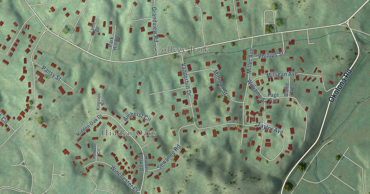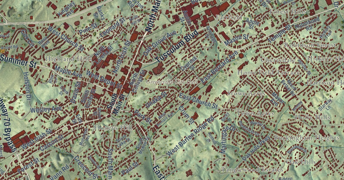
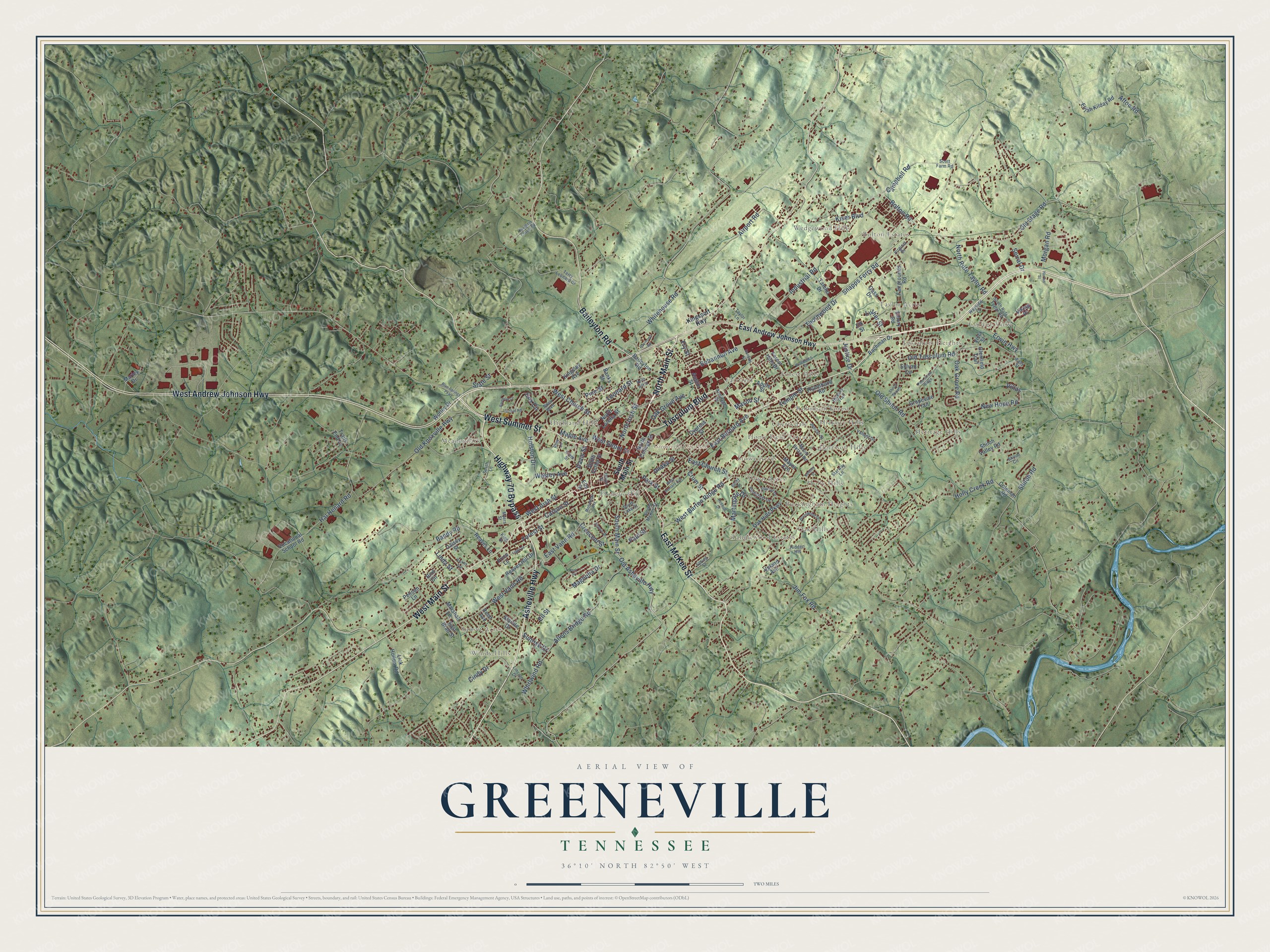
This beautifully detailed map of Greeneville, Tennessee was created in 2026 using aerial imagery combined with modern topographical, census, street and landmark data. It’s a one-of-a-kind view of Greeneville that combines accurate data with a vintage aesthetic. The map shows every building in its true location, many of the roads carry their names, and the shaded topographic relief shows the shape of the land.
Explore an aerial view of Greeneville, Tennessee
On the map you’ll find Greeneville City Hall, Bolton Estates, Bradburn Hill, Buckingham Heights, Cherrydale, College View, Eastview, Fairfield, Forest Hills, Harrison Hills, Heritage Hills, Hickory Hills, and more. If you look closely you can even find your house accurately drawn in its correct location. Zoom in on the preview to look for yours.
Did you know this piece of Greeneville, Tennessee history?
From Tennesseeencyclopedia.net: "But the modern dairy industry was also important in the mid-twentieth century, especially after Pet Milk established a plant in Greeneville in 1928."
Take a closer look at the Greeneville map
Street and place names on the Greeneville, Tennessee map
These names are printed on the map of Greeneville, Tennessee.
Places: Greeneville City Hall, Bolton Estates, Windy Hills, Heritage Hills, Meadowlark, Fairfield, Buckingham Heights, Tusculum Heights, Tanglewood Estates, Honeys Hill, Harrison Hills, College View, Forest Hills, Wedgewood Hills, Highland Hills, Home Field Terrace, Stowe Acres, Taylor Acres, Oak Hills, Robinson Forest, Holly Hills, Sunset Acres, Cherrydale, Town Acres and Hickory Hills.
Streets and roads: Asheville Highway, North Main Street, Highway 70 Bypass, East McKee Street, West Summer Street, Tusculum Boulevard, West Main Street, West Andrew Johnson Highway, Baileyton Road, South Main Street, Old Asheville Highway, Old Stage Road.
More street names, A to Z
Afton Road, Airport Road, Allens Bridge Road, Apple Street, Armitage Drive, Arnold Road, Austin Street, Bachman Drive, Bandy Road, Banks Street, Becky Drive, Bird Circle, Blue Springs Parkway, Bohannon Avenue, Bolton Road, Brentwood Drive, Campbell Road, Carson Street, Cindy Drive, Clem Street, Coleman Road, Cox Circle, Crescent Street, Crum Street, Cypress Street, Daisey Street, Davis Street, Doughtys Chapel Road, East Andrew Johnson Highway, East Bernard Avenue, East Brad Street, East Church Street, East Vann Road, Easy Street, Elijah Kilday Road, Elk Street, Ell Street, Elm Street, Emory Road, Erwin Highway, Fairgrounds Road, Forest Hills Drive, Forest Street, Fry Street, Gass Drive, Glenfield Trail, Grapevine Trail, Hal Henard Road, Hankins Street, Harlan Street, Hickory Trail, Hidden Heights, Holly Creek Road, Holston Drive, Industrial Road, Jenifer Street, Jim Fox Road, Justice Drive, Kenney Street, Kingsley Avenue, Kingsport Highway, King Street, Kiser Boulevard, Leonard Street, Lick Hollow Road, Light Street, Lincoln Drive, Linda Street, Luther Street, Magnolia Drive, Maple Avenue, Marley Drive, Marshall Lane, Martingale Drive, Mason Street, Mayor Avenue, Monument Avenue, Morgan Road, Mount Bethel Road, Myers Street, New Hope Road, North College Street, North Hill Street, North Irish Street, North Loretta Street, North Rufe Taylor Road, Oak Grove Avenue, Oak Grove Road, Oak Hills Parkway, Old Knoxville Highway, Old Shiloh Road, Old Tusculum Road, Park Place, Park Street, Paul Street, Pelican Lane, Pinecrest Drive, Pine Straw Ridge, Pine Street, Price Lane, Rainbow Lane, Raymond Road, Reaves Hill Drive, Reaves Lane, Redbud Drive, Reed Avenue, Rhea Circle, Ricker Avenue, Robinhood Road, Ross Boulevard, Scenic Drive, Scott Farm Road, Serral Drive, Shiloh Circle, Shiloh Road, Shiloh Shoals, Shiloh Valley Road, Smith Lane, Snapps Ferry Road, South Cutler Street, South Lake Street, South McKee Street, South Rufe Taylor Road, Spring Street, Starlite Drive, Starway Lane, State Street, Sunrise Drive, Sylvan Circle, Tateho Drive, Taylor Lane, Temple Street, Terry Leonard Drive, Thornwood Drive, Trails End Lane, Unaka Street, Union Street, Upland Avenue, Valiant Drive, Viking Place, Villas, Virginia Drive, Vista Street, Vocational School Road, Wayfair Drive, Wayside Lane, Wesley Avenue, West Barton Ridge Road, West Bernard Avenue, West Church Street, West Depot Street, West Irish Street, West Vann Road, Whirlwind Road, Whitehouse Road, Woodlawn Drive, Worley Drive.
See the Greeneville, Tennessee map on a wall
The Greeneville map as an 18 x 24 inch print in a black frame.

This beautifully detailed map of Greeneville makes an attractive addition to your office, library, or den, and it can even be used to teach children the geography and history of the area. It also makes a great gift for anyone who grew up in Greeneville or moved away. When you’re done exploring, click here to get your copy of the Greeneville map.