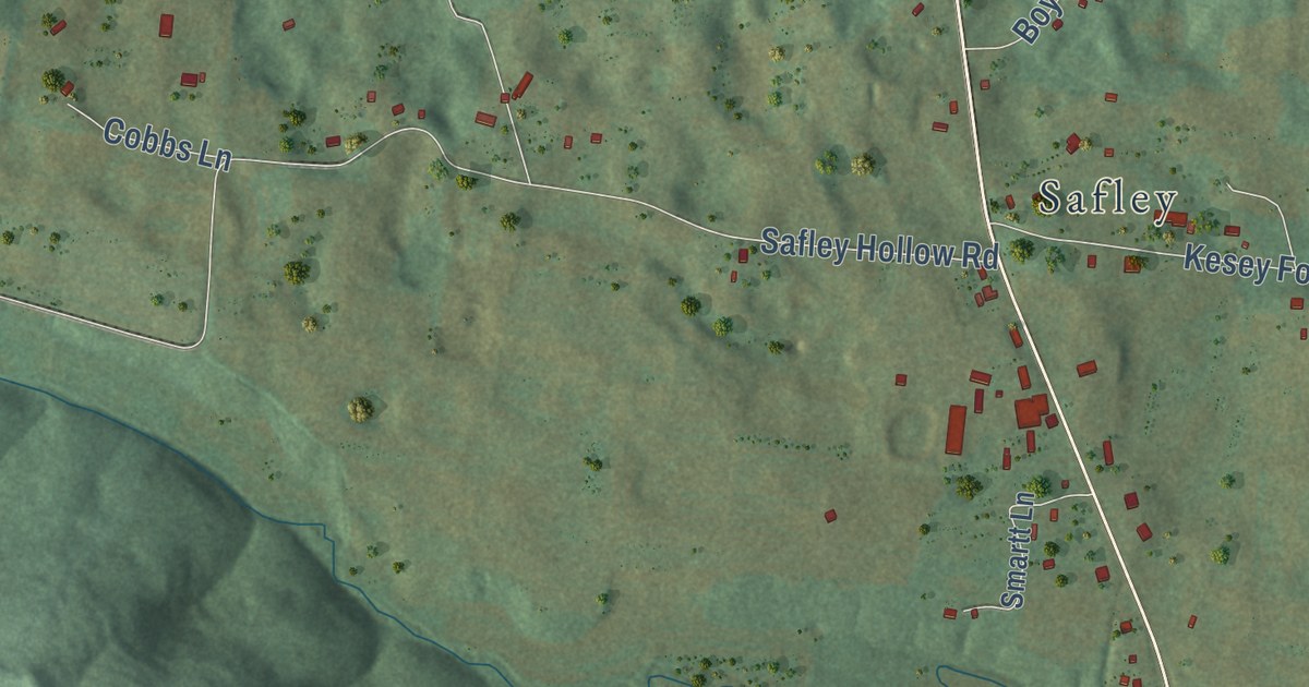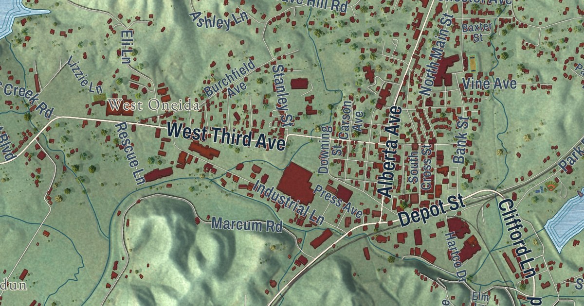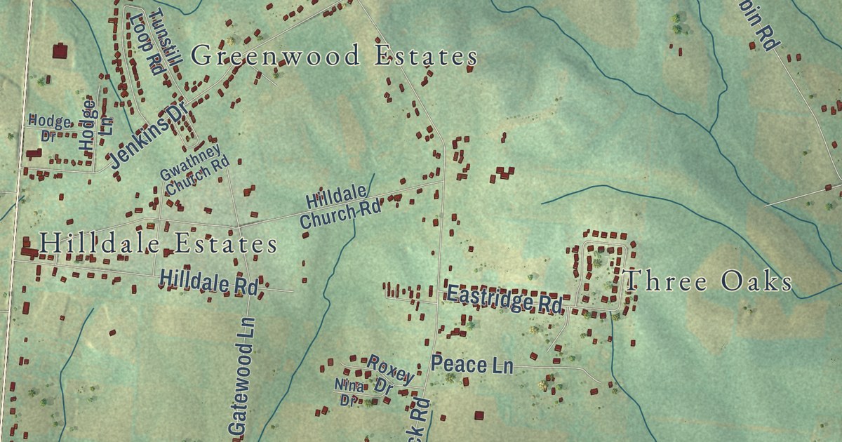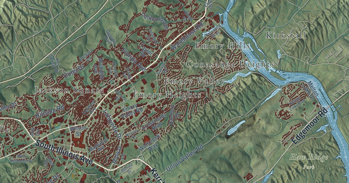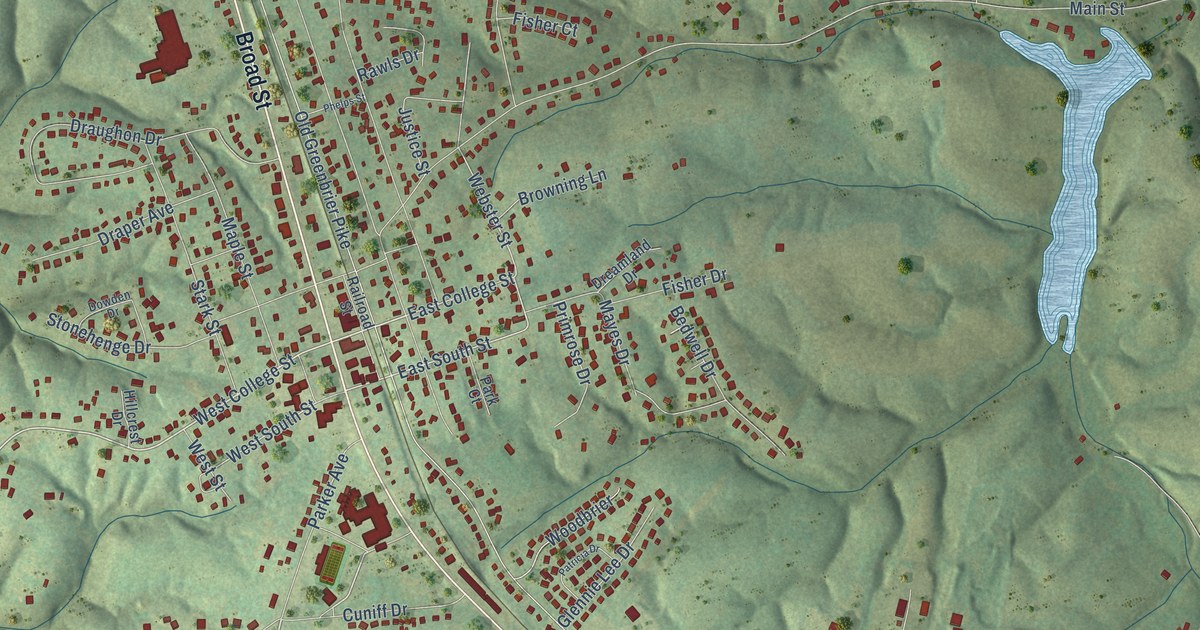
This beautifully detailed map of Greenbrier, Tennessee was created in 2026 using aerial imagery combined with modern topographical, census, street and landmark data. It’s a one-of-a-kind view of Greenbrier that combines accurate data with a vintage aesthetic. The map shows every building in its true location, many of the roads carry their names, and the shaded topographic relief shows the shape of the land.
Explore an aerial view of Greenbrier, Tennessee
On the map you’ll find Hygeia Springs, along with Broad Street, Betts Road, Dorris Road, East College Street, West College Street, Sycamore Road, East South Street, Webster Street, West South Street, Old Greenbrier Pike, Old State Highway 11, and more. If you look closely you can even find your house accurately drawn in its correct location. Zoom in on the preview to look for yours.
Did you know this piece of Greenbrier, Tennessee history?
From Goodspeed's History of Tennessee: "About 1858 E. S. Cheatham established a saw-mill on the present site of Greenbrier, and carried on an extensive business, but this had all disappeared before the foundation of the town."
Take a closer look at the Greenbrier map
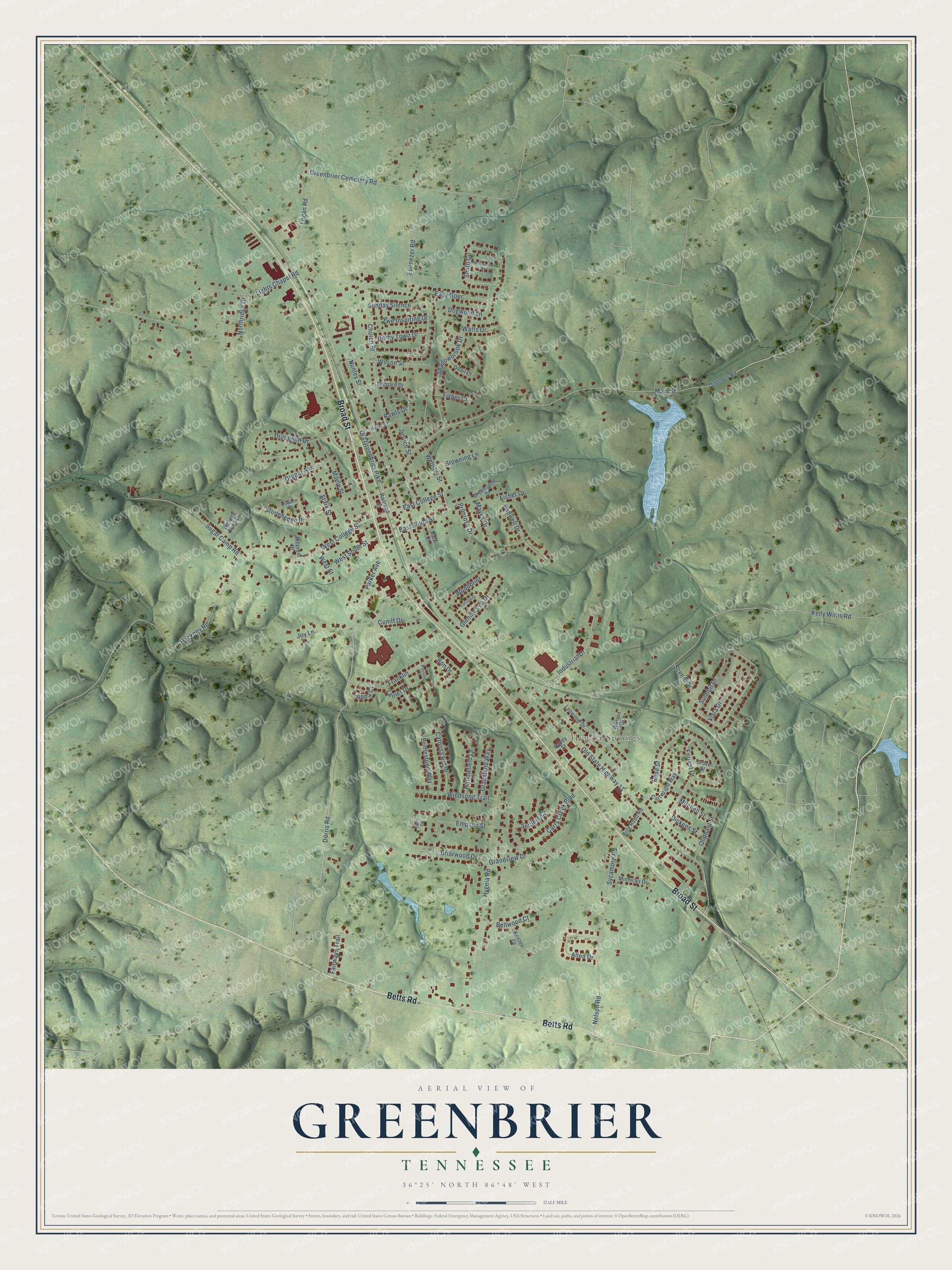
Street and place names on the Greenbrier, Tennessee map
These names are printed on the map of Greenbrier, Tennessee.
Places: Hygeia Springs.
Streets and roads: Broad Street, Betts Road, Dorris Road, East College Street, West College Street, Sycamore Road, East South Street, Webster Street, West South Street, Old Greenbrier Pike, Old State Highway 11, Main Street.
More street names, A to Z
Allen Drive, Anna Court, Awe Inspiring Drive, Bedwell Drive, Bellwood Court, Billy Robb Road, Bon Drive, Briarwood Drive, Brimestone Way, Browning Lane, Candy Street, Carrs Creek Boulevard, Cartwright Way, Catoosa Ridge, Church Street, Cuniff Drive, Derby Town Drive, Dickens Street, Distillery Road, Dogwood Lane, Dowden Drive, Draper Avenue, Draughon Drive, Dreamland Drive, Easy Goer, Ebenezer Road, Empson Street, Fairways Trail, Fisher Court, Fisher Drive, Forrest Drive, Franklin, Glennie Lee Drive, Graceland Way, Grandview Drive, Greenbrier Cemetery Road, Grove Street, Hackney Road, Hickory Bend Drive, Hillcrest Drive, Hollowfield Lane, Hygeia Road, Industrial Drive, Joy Lane, Justice Street, Kelly Willis Road, Kristen Court, Lanier Drive, Lights Chapel Road, Logan Road, Lynwood Drive, Maple Street, Mayes Drive, McQuiston Drive, Minnicks Drive, Mitchell Street, Nelson Road, Northridge Drive, Nunley Street, Oliphant Street, Orchard Drive, Park Court, Parker Avenue, Patricia Drive, Pauline Drive, Phelps Street, Primrose Drive, Quail Court, Railroad Street, Rawls Drive, Rose Street, Scenic Drive, Settlers Court, Shadowbrook Drive, Smith Circle, Stark Street, Stonehenge Drive, Sugar Camp Road, Summit Drive, Sunday Silence, Twin Court, Vista Drive, Warren Drive, Watts Drive, West Street, Wilson Street, Windsong Trail, Woodbrier.
See the Greenbrier, Tennessee map on a wall
The Greenbrier map as an 18 x 24 inch print in a black frame.

This beautifully detailed map of Greenbrier makes an attractive addition to your office, library, or den, and it can even be used to teach children the geography and history of the area. It also makes a great gift for anyone with Greenbrier roots. When you’re done exploring, click here to get your copy of the Greenbrier map.