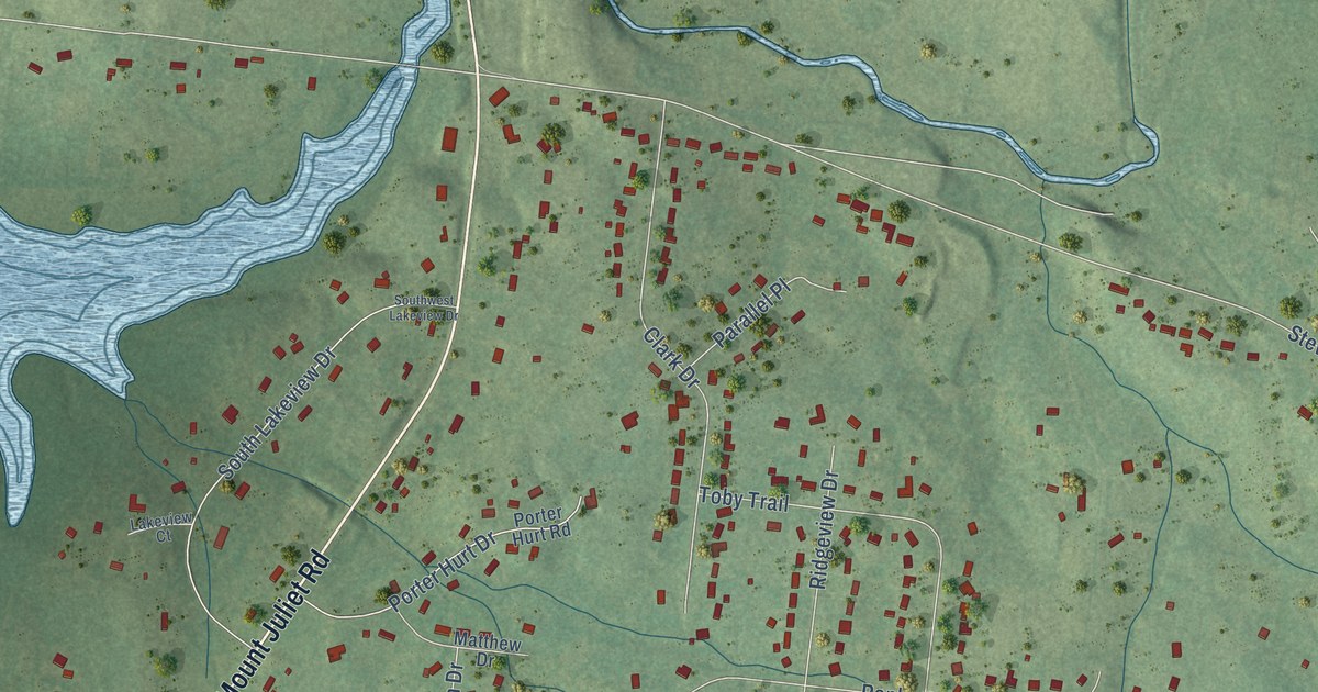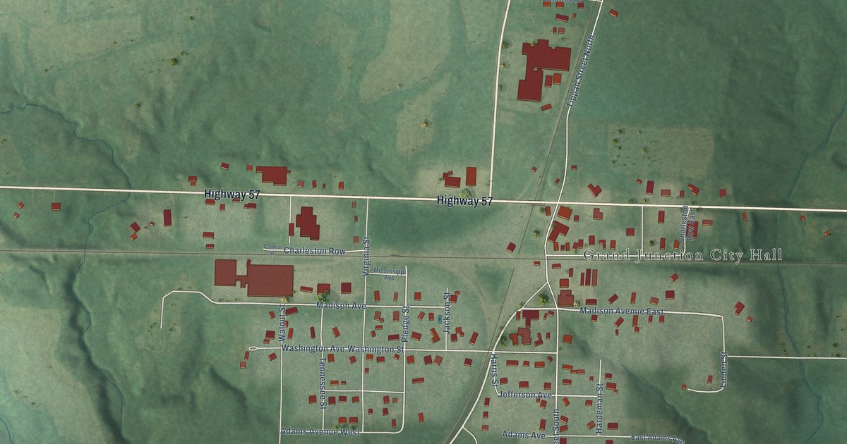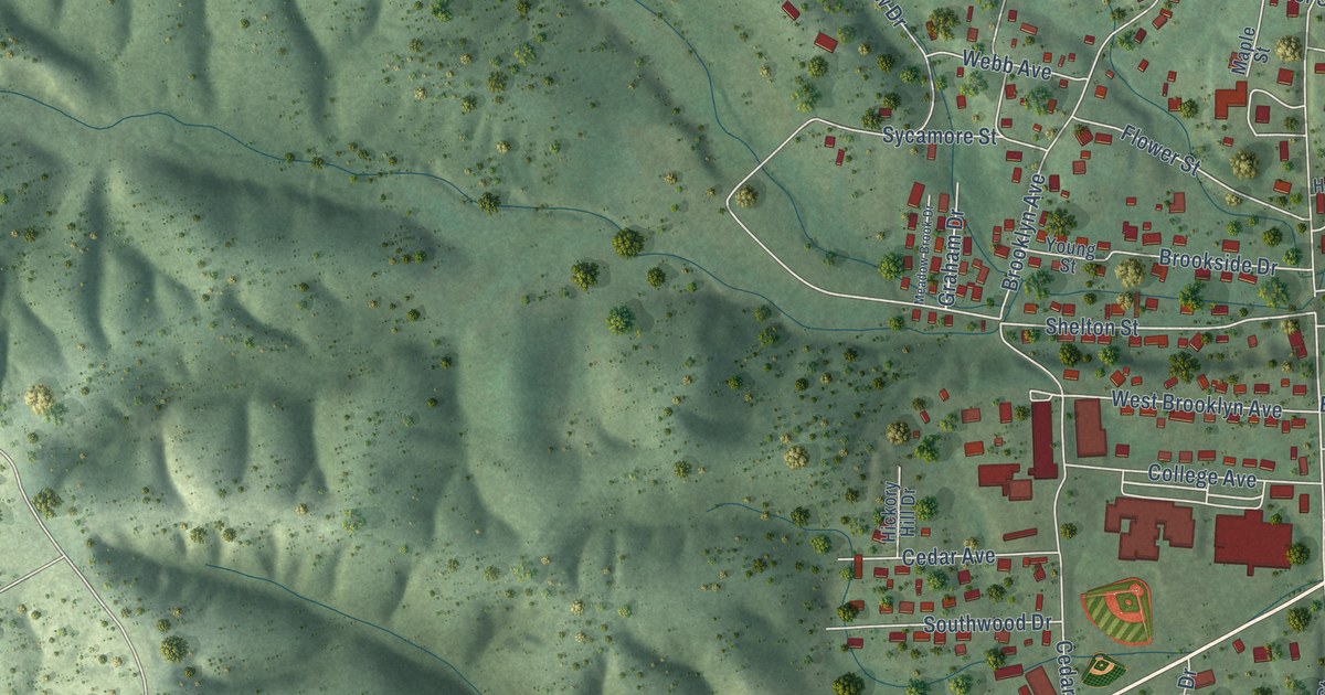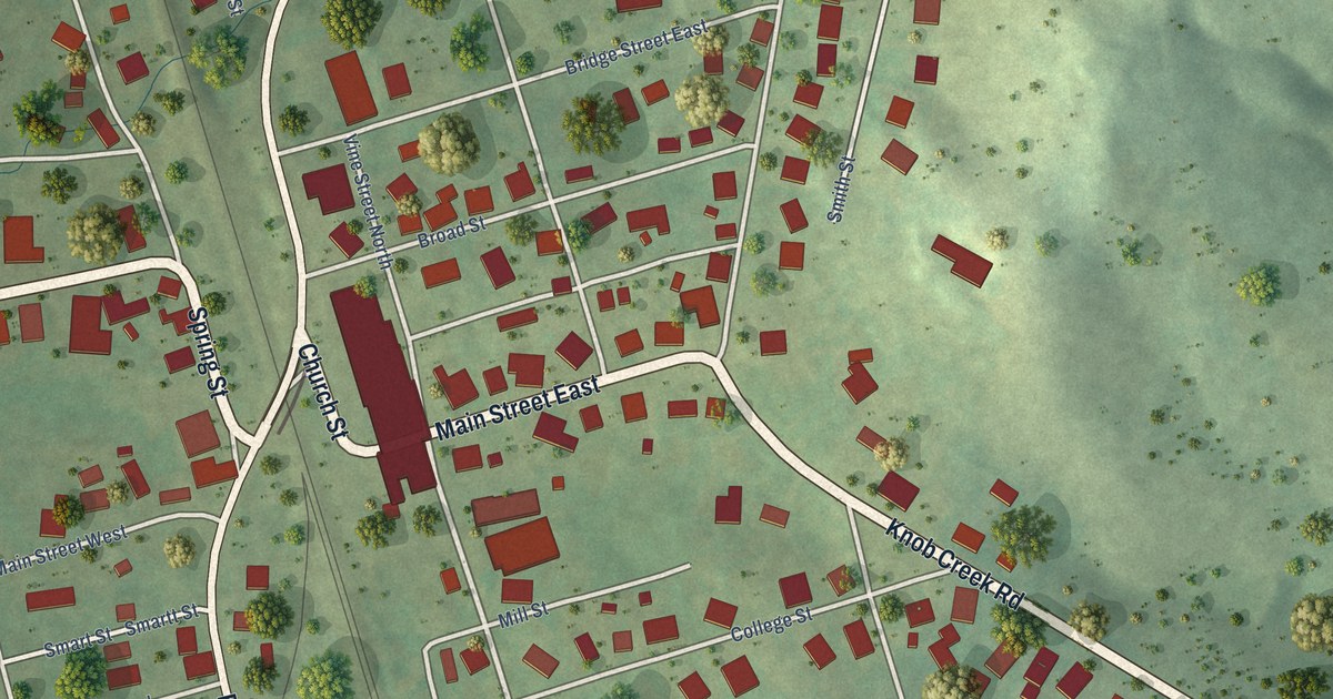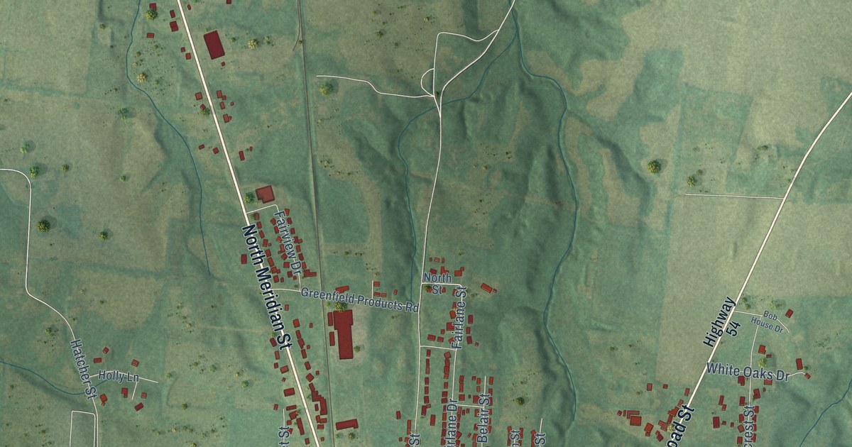
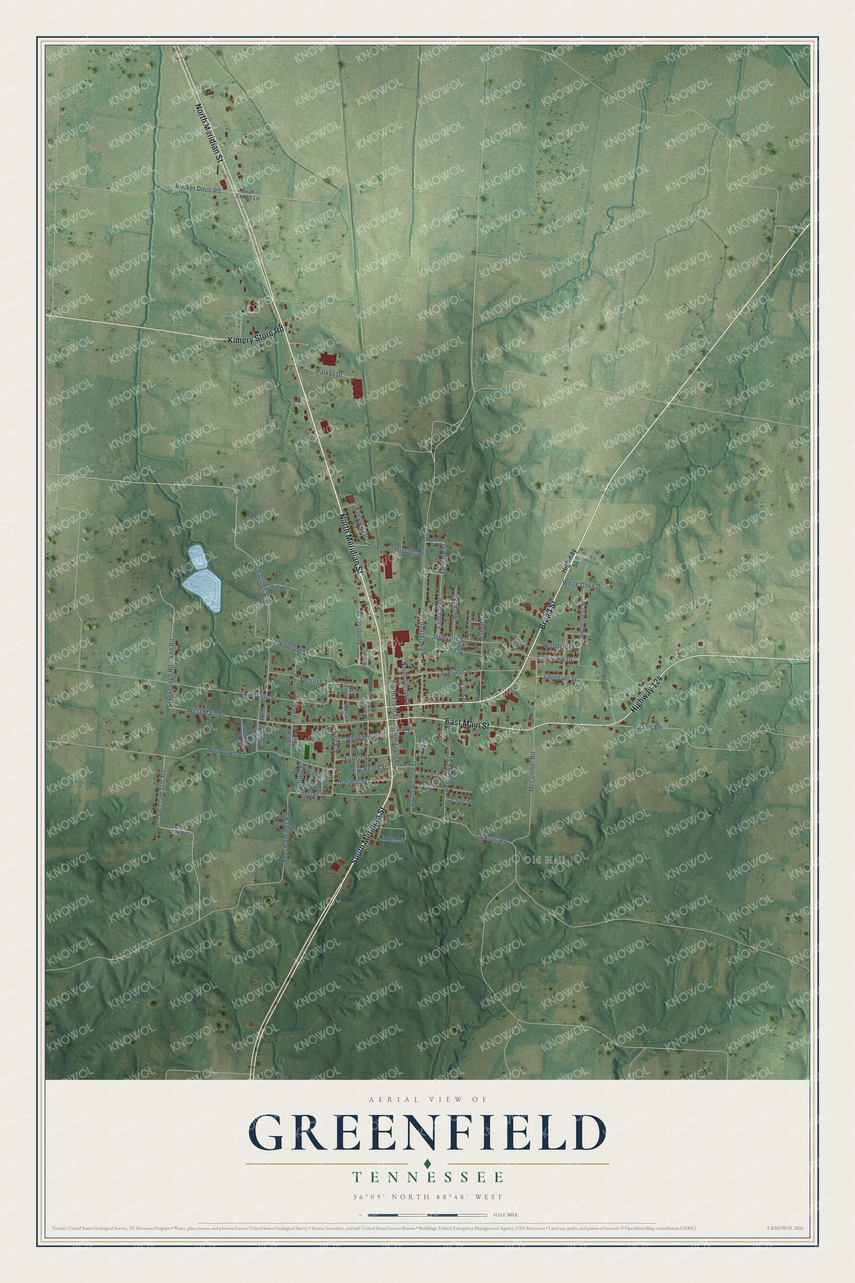
This beautifully detailed map of Greenfield, Tennessee was created in 2026 using aerial imagery combined with modern topographical, census, street and landmark data. It's a modern aerial view of Greenfield in Weakley County, Tennessee, that combines modern data with a vintage aesthetic. The roads feature printed names, and if you look closely you can find your exact house accurately shown in its correct location.
Explore an aerial view of Greenfield, Tennessee
On this map you'll find Old Hall, North Meridian Street, South Meridian Street, Broad Street, East Main Street, Highway 124, Kimery Store Road, West Main Street, Opossum Trot Road, Jackson Road, South Front Street, Hillsboro Street, and more. Each red shape is a building, so zoom in on the preview and look for yours.
Every town has a first chapter, and Greenfield is no exception. The City of Greenfield puts it this way: "The history of Greenfield goes back to the laying of the Illinois Central Gulf Railroad track in 1873. The huge fields of green wheat inspired the engineer of the first train to give the town its name."
Greenfield is a city in Weakley County. The Census Bureau counted 2,031 people here in 2020.
Take a closer look at the Greenfield map
Names on this map
These names are printed on this map.
Places: Old Hall.
Streets and roads: North Meridian Street, South Meridian Street, Broad Street, East Main Street, Highway 124, Kimery Store Road, West Main Street, Opossum Trot Road, Jackson Road, South Front Street, Hillsboro Street, McCumber Road.
More street names, A to Z
Acklin Street, Adams Road, Akin Street, Avalon Street, Beale Street, Bean Switch Lane, Beech Springs Road, Belair Street, Boaz Street, Bob House Drive, Bucker Ditch Road, Chester Street, College Heights Street, Crestview Drive, Delmar Street, Elam Street, Elm Street, Evergreen Street, Fairlane Drive, Fairlane Street, Fairview Drive, Falcon Street, Faxon Street, First Baptist Drive, Forest Street, Garland Street, Glendale Street, Greenfield Products Road, Greenlawn Street, Griffin Street, Harvard Street, Hatcher Street, Hays Street, Highland Street, Highway 54, Holly Lane, Jefferson Street, Kee Road, Lake Street, Lane Street, Linden Street, Melrose Street, North Church Street, North Faxon Street, North Front Street, North Second Street, North Street, Parker Drive, Pecan Street, Poplar Street, Ridgecrest Street, Rosewood Drive, Saddle Club Road, Somerset Street, South Faxon Street, South Second Street, South Shelby Street, Stagecoach Road, Terrace Drive, Trig Street, Vance Street, Vine Street, Walnut Street, Warsaw Street, White Oaks Drive, Wilson Street, Woodlawn Road, Woodside Drive.
Created by KNOWOL in 2026. The buildings are small red shapes, the roads carry their printed names, and shaded relief shows the shape of the land. The title panel reads "AERIAL VIEW OF GREENFIELD TENNESSEE" with 36°09' NORTH 88°48' WEST.
Hang it in the hallway, the office or the cabin, or give it to someone who left Greenfield and still calls it home. Open the preview and look for a street you know. See sizes and frames for the Greenfield map.