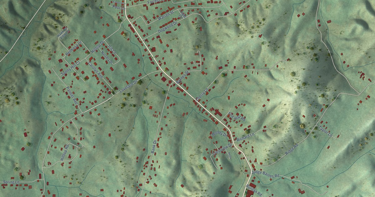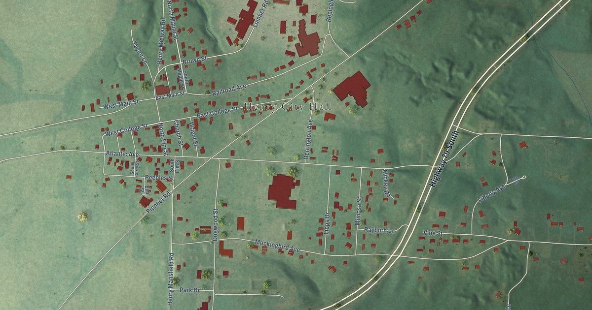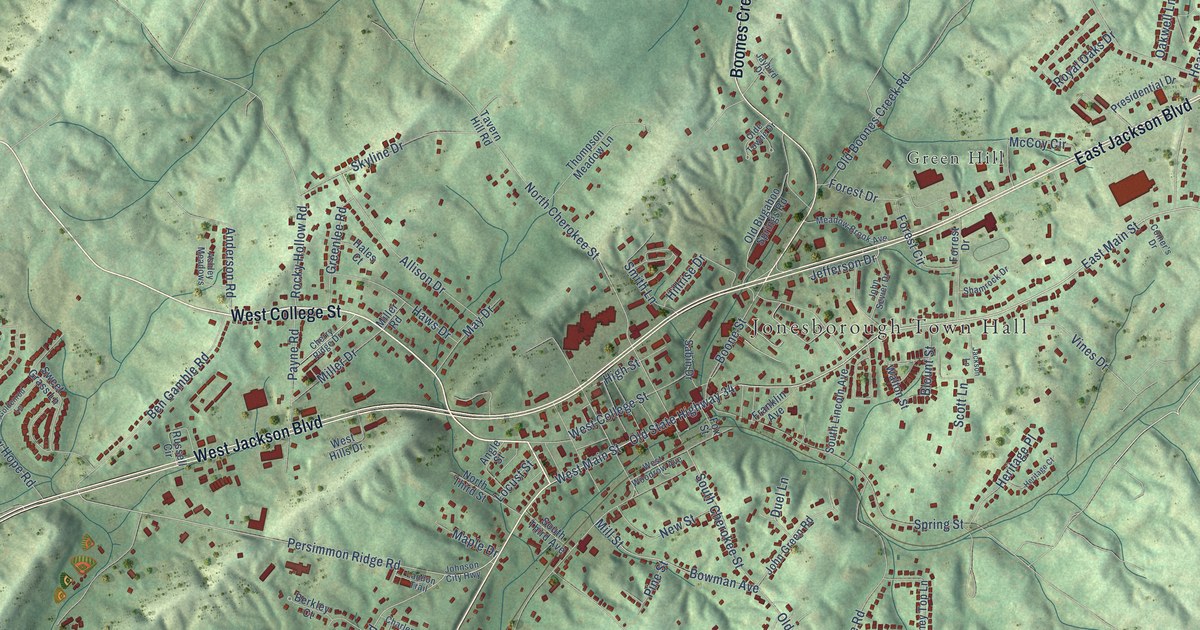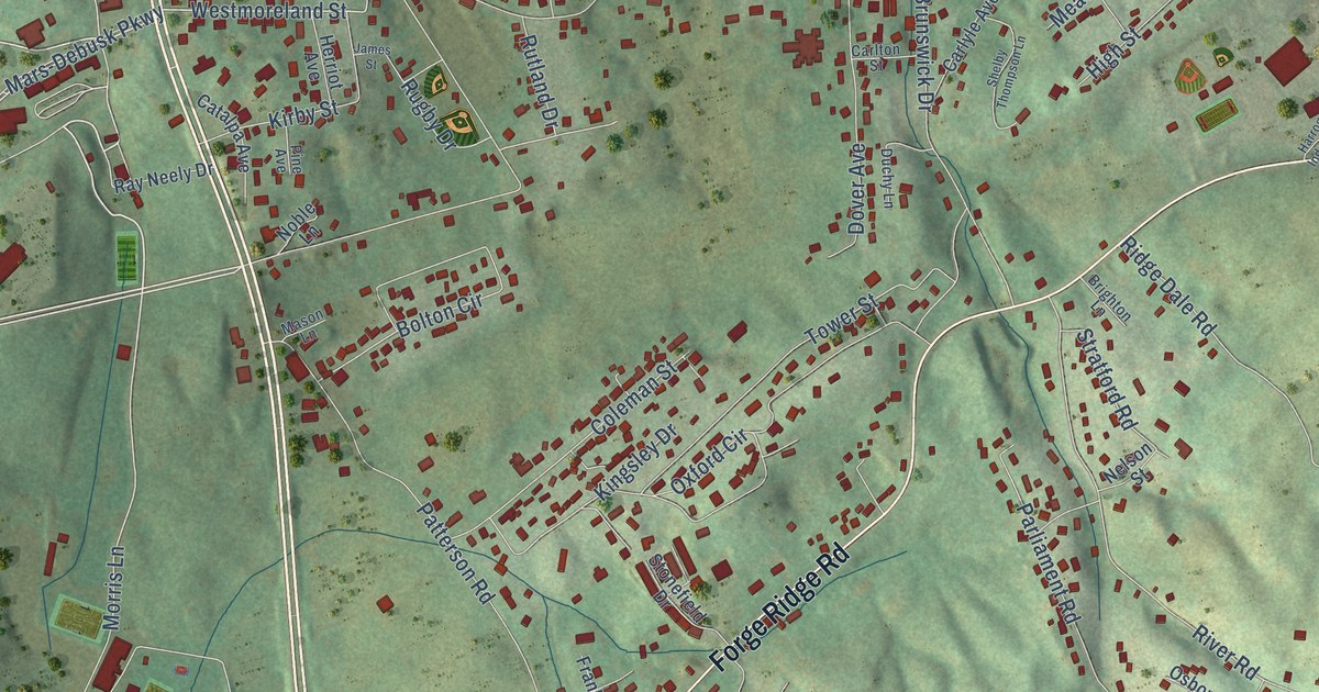
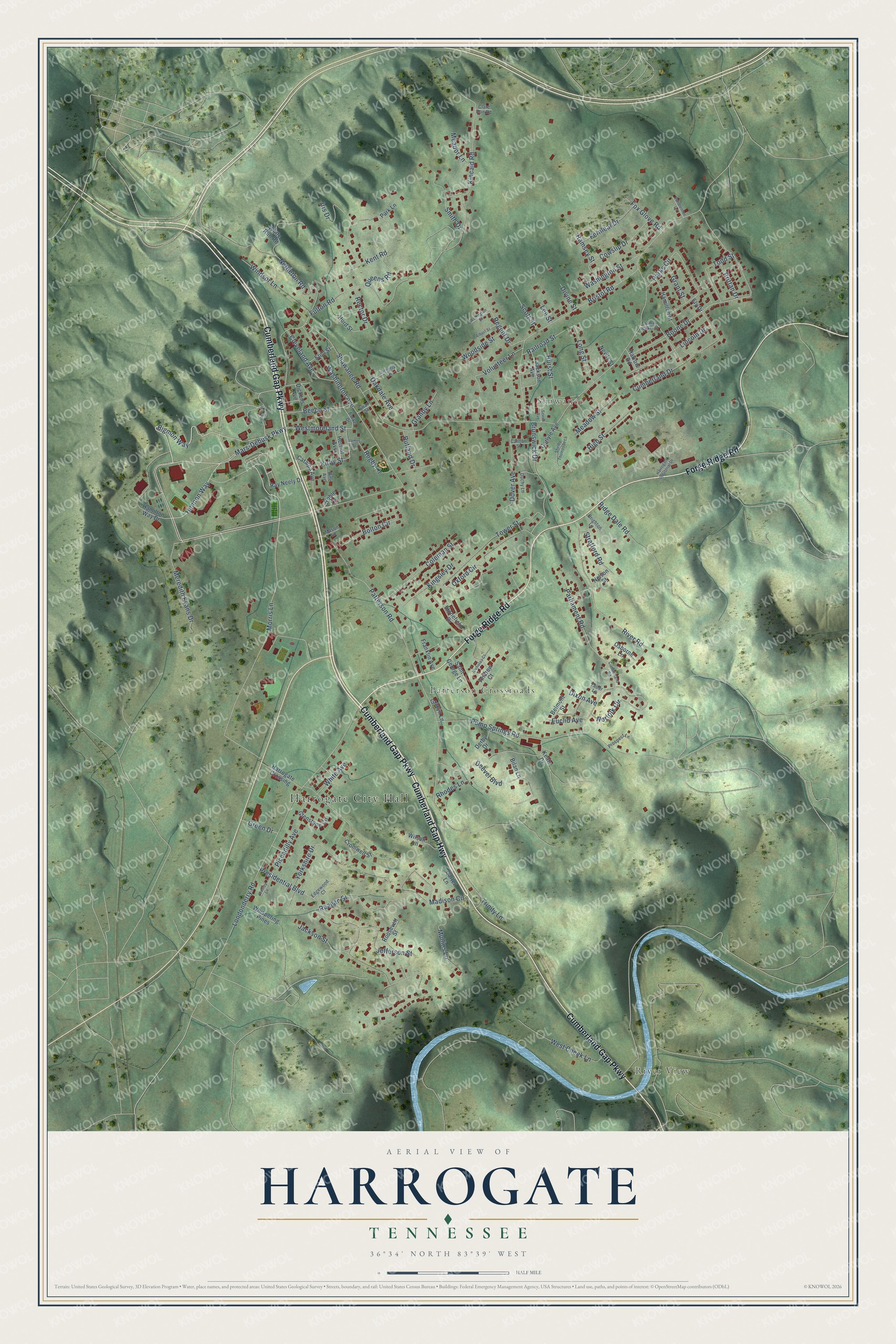
This beautifully detailed map of Harrogate, Tennessee was created in 2026 using aerial imagery combined with modern topographical, census, street and landmark data. It's a modern aerial view of Harrogate in Claiborne County, Tennessee, that combines modern data with a vintage aesthetic. The roads feature printed names, and if you look closely you can find your exact house accurately shown in its correct location.
Explore an aerial view of Harrogate, Tennessee
On this map you'll find Harrogate City Hall, River View, Shawanee, Patterson Crossroads, Cumberland Gap Parkway, Cumberland Gap Highway, Forge Ridge Road, Bigmon Way, Hennon Way, Mars-Debusk Parkway, Westmoreland Street, Morris Lane, and more. Each red shape is a building, so zoom in on the preview and look for yours.
Harrogate has a story worth telling. The Federal Writers' Project puts it this way: "Harrogate University, now Lincoln Memorial University, was founded in 1897 as a memorial to Abraham Lincoln. Chartered as a university, it functioned as such for a time and then developed into a liberal arts college."
Harrogate is a city in Claiborne County. The Census Bureau counted 4,400 people here in 2020.
Take a closer look at the Harrogate map
Names on this map
These names are printed on this map.
Places: Harrogate City Hall, River View, Shawanee and Patterson Crossroads.
Streets and roads: Cumberland Gap Parkway, Cumberland Gap Highway, Forge Ridge Road, Bigmon Way, Hennon Way, Mars-Debusk Parkway, Westmoreland Street, Morris Lane, Londonderry Road, Shawanee Road, Patterson Road, Bristol Road.
More street names, A to Z
Albert Street, Andrew Court, Beech Street, Belmont Street, Bilan Lane, Bolton Circle, Boone Drive, Brighton Lane, Brittan Drive, Brunswick Drive, Burke Drive, Carlton Street, Carlyle Avenue, Carter Lane, Catalpa Avenue, Clare Bon Road, Cleveland Avenue, Coleman Street, Cowslip Drive, Cromwell Street, Cumberland Drive, Cumberland Road, Deevel Boulevard, Derby Drive, Dickens Avenue, Divine Street, Dixon Avenue, Dover Avenue, Duchy Lane, Edgewood Court, Ely Drive, Eton Street, Euclid Avenue, Fernleaf Drive, Fox Glove Road, Franklin Avenue, Fulton Road, Glenstone Circle, Gracyn Lane, Granby Lane, Grant Street, Green Drive, Hamilton Street, Hamilton Way Drive, Harrogate Crossing, Harrogate Industrial Drive, Harrow Road, Herriot Avenue, High Street, Hurd Street, Hurst Street, Iris Drive, Jackson Avenue, Jackson Street, James Street, Jefferson Street, Keats Drive, Kent Road, Kincaid Road, Kingsley Drive, Kirby Street, Lee Street, Lincoln Drive, Long Street, Madison Circle, Mason Lane, Meador Lane, Meadow Street, Meredith Evans Drive, Mullins Lane, Nelson Street, Nettleton Road, Nevils Street, Nicholas Court, Noble Lane, Norfolk Circle, Oakdale Avenue, Osborne Lane, Oxford Circle, Park Lane, Parks Circle, Parliament Road, Pendlenton Lane, Piccadilly Avenue, Pine Avenue, Presidential Boulevard, Prospect Lane, Pump Springs Road, Queens Road, Railroad Street, Ramsey Street, Ray Neely Drive, Reagan Street, Rector Drive, Regent Drive, Rhodes Lane, Ridge Dale Road, River Road, Robertson Avenue, Roosevelt Street, Rugby Drive, Rutland Drive, Saint George Lane, Scott Street, Sevier Avenue, Shelby Thompson Lane, Smith Drive, Stonefield Drive, Stratford Road, Swan Street, Thomas Walker Street, Todd Street, Tower Street, Trinity Lane, Tudor Lane, Victoria Lane, Volunteer Lane, Washington Avenue, Washington Street, Wellington Street, Wesley Lane, West Cheek Lane, Whispering Pines, White Avenue, Wilson Lane, Windsor Lane, Wolfe Run Road, Woodside Street, Yorkshire Drive.
Created by KNOWOL in 2026. The buildings are small red shapes, the roads carry their printed names, and shaded relief shows the shape of the land. The title panel reads "AERIAL VIEW OF HARROGATE TENNESSEE" with 36°34' NORTH 83°39' WEST.
It looks right in a kitchen, an office or a den, and it's a gift for anyone who grew up in Harrogate or moved away. Open the preview and find your street. See sizes and frames for the Harrogate map.