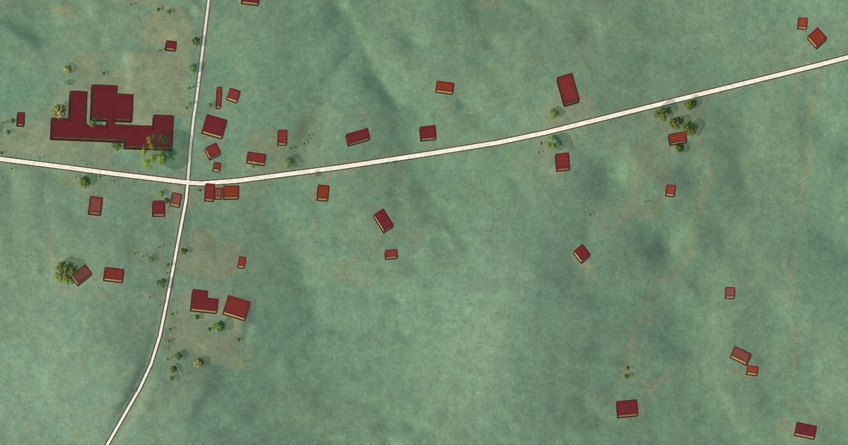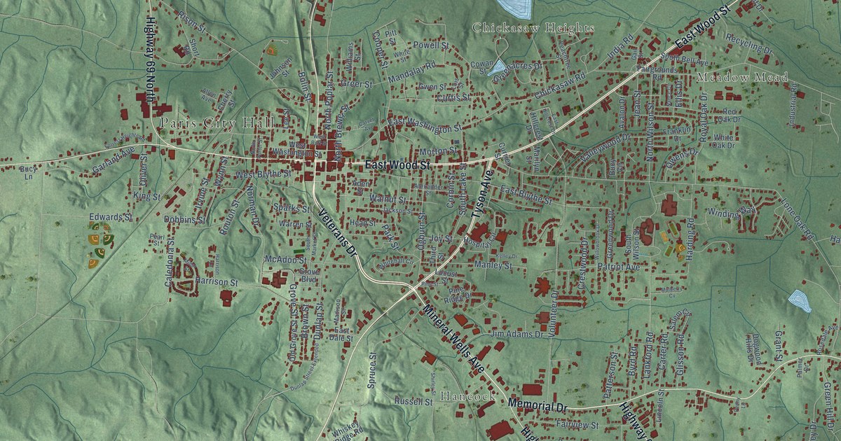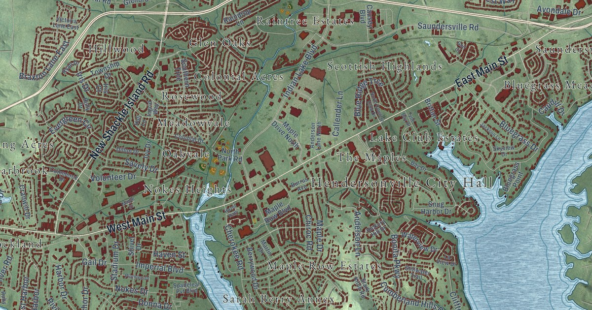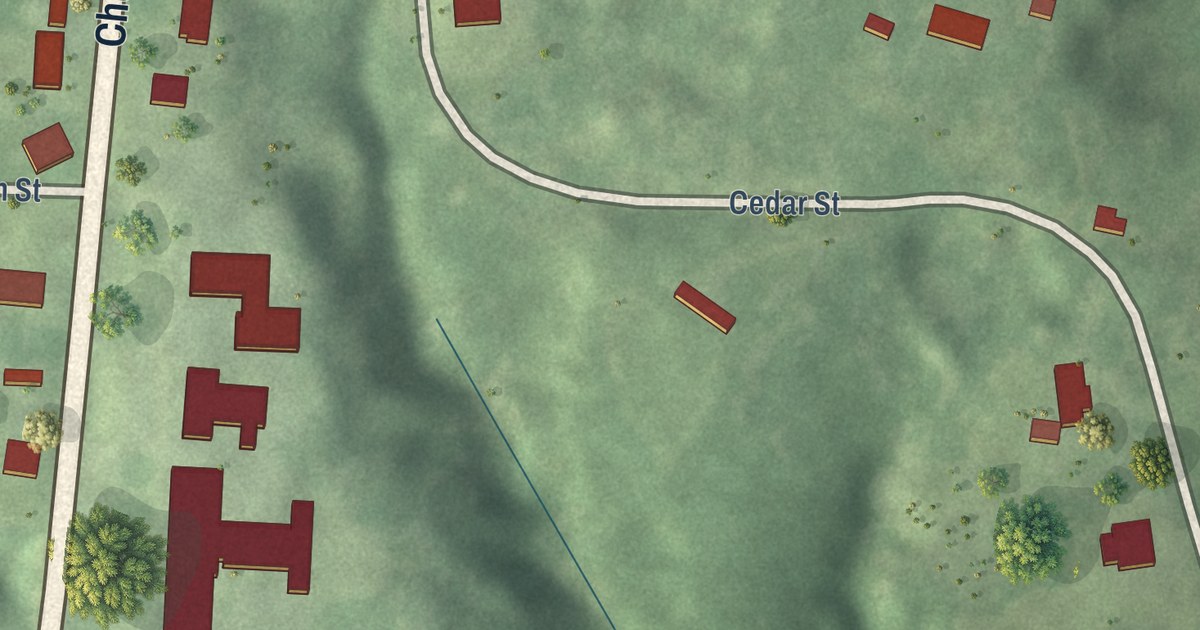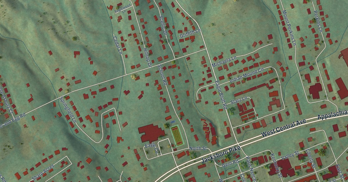
This beautifully detailed map of Jacksboro, Tennessee was created in 2026 using aerial imagery combined with modern topographical, census, street and landmark data. It’s a one-of-a-kind view of Jacksboro that combines accurate data with a vintage aesthetic. The map shows every building in its true location, many of the roads carry their names, and the shaded topographic relief shows the shape of the land.
Explore an aerial view of Jacksboro, Tennessee
On the map you’ll find Cove Lake, along with Appalachian Highway, West Central Avenue, Jacksboro Pike, Main Street, Eagle Bluff Road, Eagle Circle, Jacksboro Station Road, Gent Road, Butter and Egg Road, Hilltop Drive, Mount Perkins Lane, and more. If you look closely you can even find your house accurately drawn in its correct location. Zoom in on the preview to look for yours.
Did you know this piece of Jacksboro, Tennessee history?
Jacksboro was founded in 1806 as the county seat of the new Campbell County. Early settler Hugh Montgomery gave the land for the town square. First called Walnut Grove, the town was renamed Jacksonboro in 1819 to honor Andrew Jackson. Later the name was cut to Jacksboro.
Take a closer look at the Jacksboro map
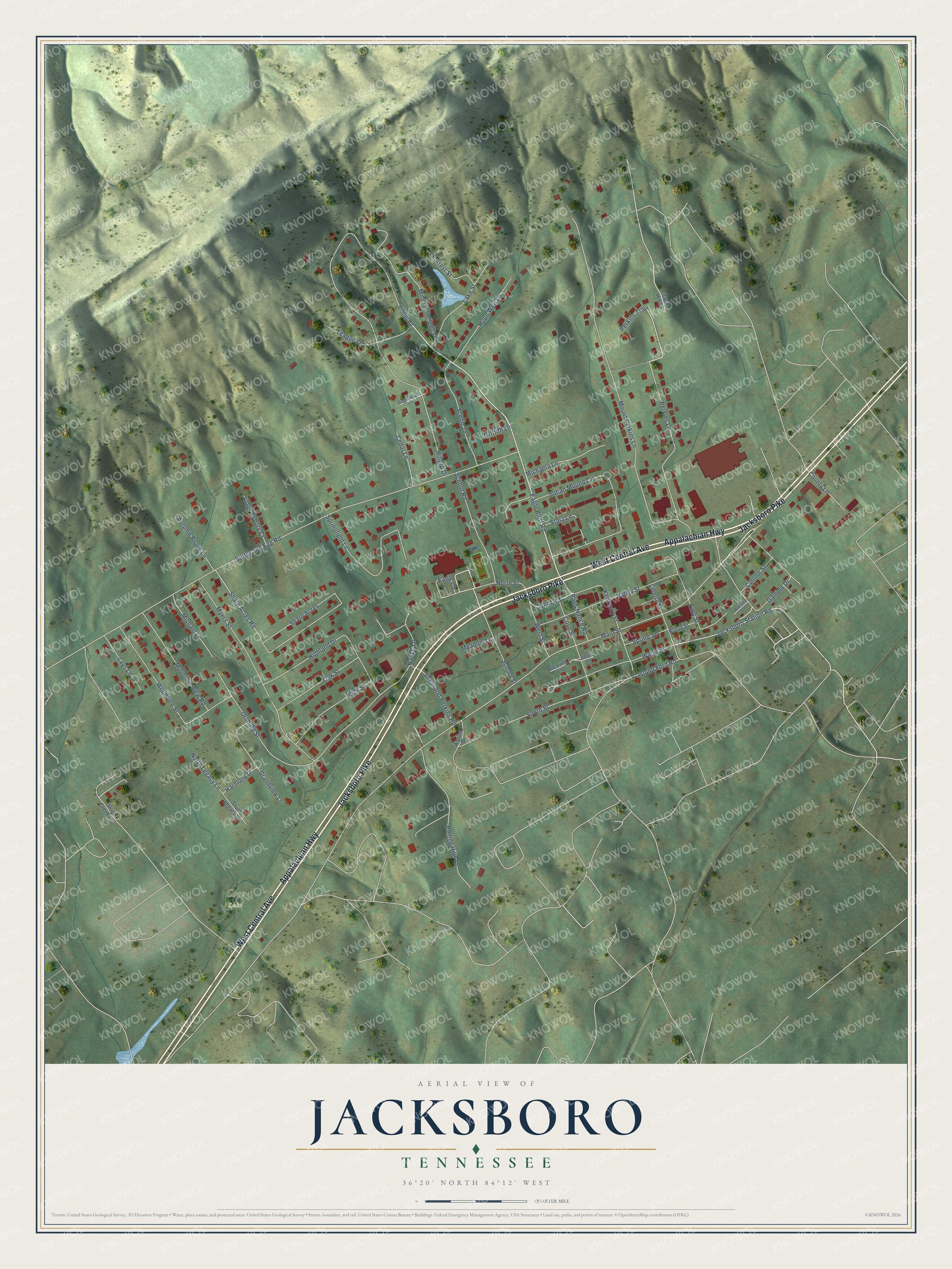
Street and place names on the Jacksboro, Tennessee map
These names are printed on the map of Jacksboro, Tennessee.
Places: Cove Lake.
Streets and roads: Appalachian Highway, West Central Avenue, Jacksboro Pike, Main Street, Eagle Bluff Road, Eagle Circle, Jacksboro Station Road, Gent Road, Butter and Egg Road, Hilltop Drive, Mount Perkins Lane, Myers Street.
More street names, A to Z
Alpine Drive, Autumn Brook Lane, Broad Street, Cedar Lane, Connor Street, County Lane, Cove Street, Creek Lane, Dog Creek Lane, Eaglewood Lane, East Street, Forrest Street, Gamble Drive, Gearing Lane, Grandview Lane, Griffith Lane, Harmony Drive, Highland Drive, Hilltop Road, Hope Weir Lane, Indian Mound Circle, Island Ford Road, Judge Asbury Court, Kentucky Street, Lake Street, Lays Lane, Liberty Street, Meadow Lane, Michaela Lane, Michael Lane, Mineral Springs Lane, Mountain View Road, Nance Lane, North Legacy Lane, North Street, Oak Street, Orchard Street, Pack Street, Paris Nance Road, Perkins Lane, Perkins Trail, Rolling Hills Lane, Scenic Drive, School Road, School Street, Sharp Acres, Sharp Acres Road, Sharp and Perkins Road, South Legacy Lane, South Street, Springfield Lane, Spring Street, Starz Lane, Teague Lane, Twin Hill Lane, Valley Street, Wallace Lane, Water Street, West Street, Woodvine Street.
See the Jacksboro, Tennessee map on a wall
The Jacksboro map as an 18 x 24 inch print in a black frame.

This beautifully detailed map of Jacksboro makes an attractive addition to your office, library, or den, and it can even be used to teach children the geography and history of the area. It also makes a great gift for anyone who grew up in Jacksboro or moved away. When you’re done exploring, click here to get your copy of the Jacksboro map.