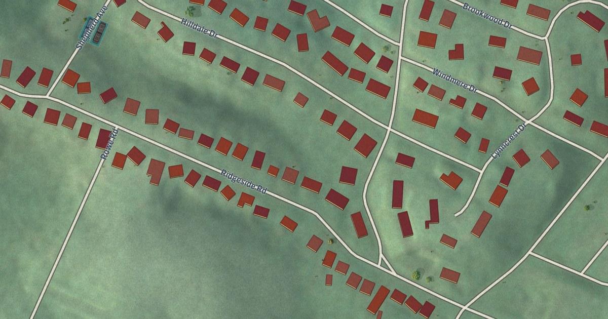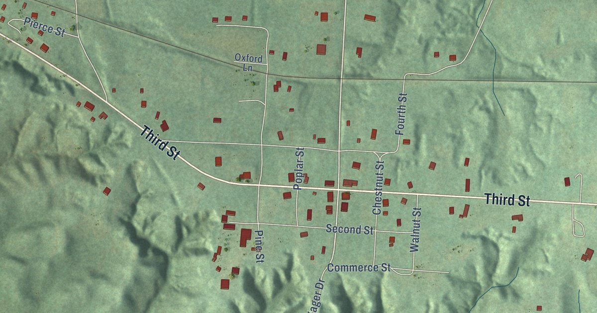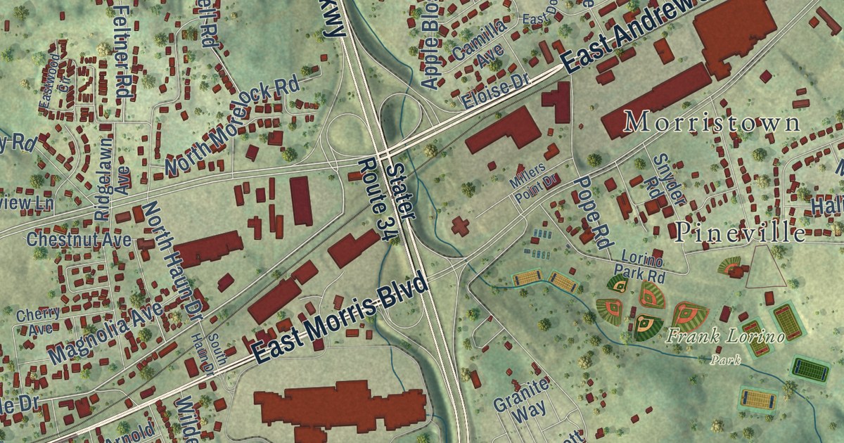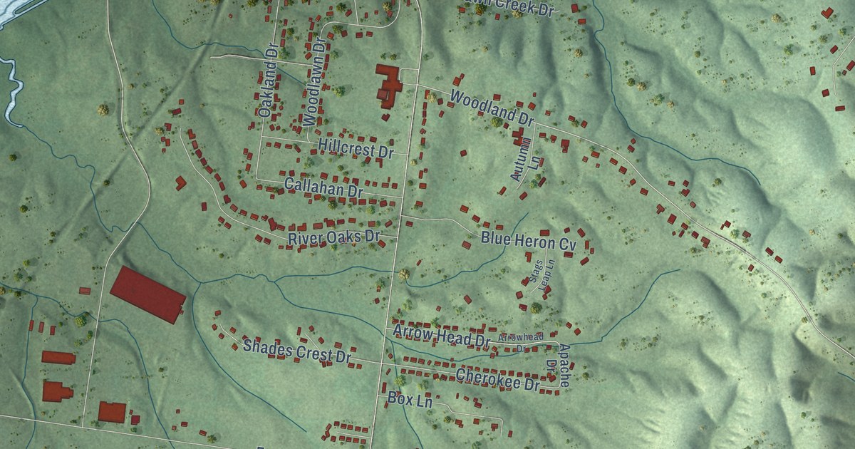
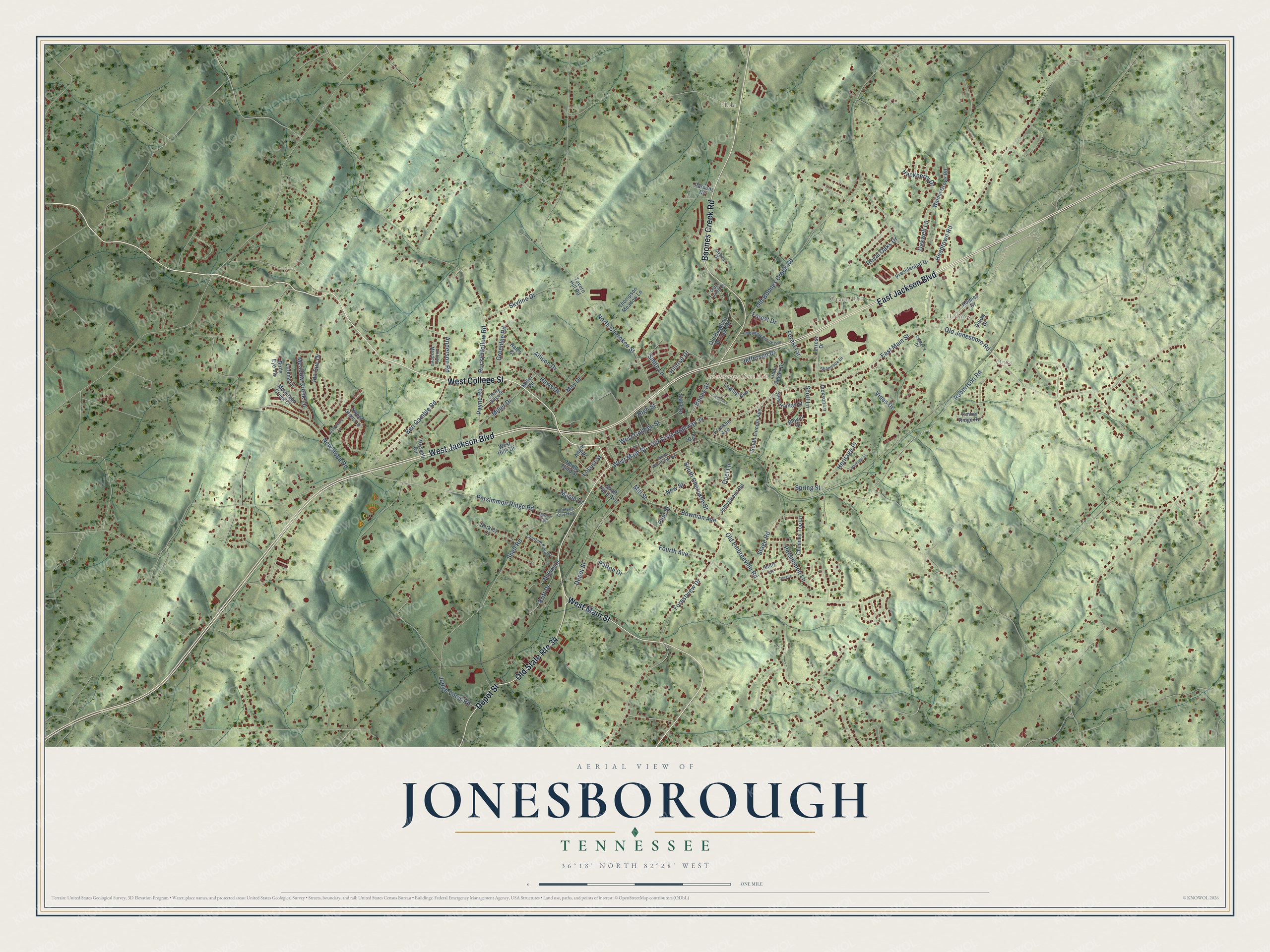
This beautifully detailed map of Jonesborough, Tennessee was created in 2026 using aerial imagery combined with modern topographical, census, street and landmark data. It’s a one-of-a-kind view of Jonesborough that combines accurate data with a vintage aesthetic. The map shows every building in its true location, many of the roads carry their names, and the shaded topographic relief shows the shape of the land.
Explore an aerial view of Jonesborough, Tennessee
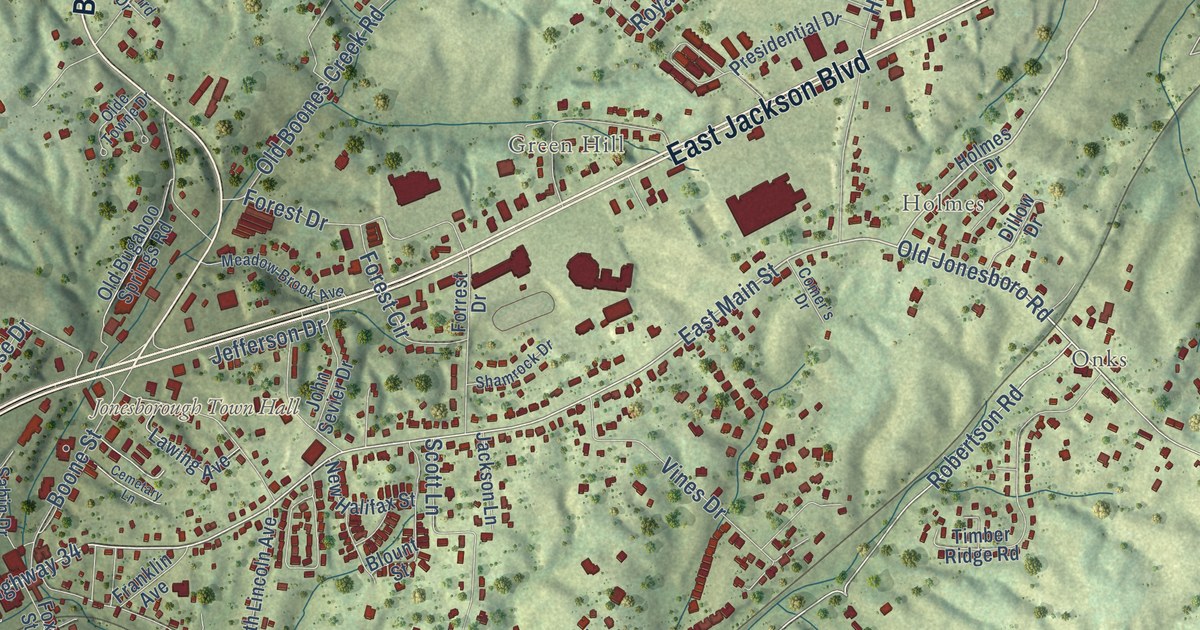
On the map you’ll find Jonesborough Town Hall, Green Hill, Hale, Holmes, and Onks, along with West College Street, West Jackson Boulevard, East Jackson Boulevard, Boones Creek Road, West Main Street, Depot Street, East Main Street, and more. If you look closely you can even find your house accurately drawn in its correct location. Zoom in on the preview to look for yours.
Did you know this piece of Jonesborough, Tennessee history?
From Tennesseeencyclopedia.net: "Jonesborough was incorporated in 1815 and is the seat of government for Washington County, which had been established by North Carolina in 1777."
Take a closer look at the Jonesborough map
Street and place names on the Jonesborough, Tennessee map
These names are printed on the map of Jonesborough, Tennessee.
Places: Jonesborough Town Hall, Hale, Onks, Green Hill and Holmes.
Streets and roads: West College Street, West Jackson Boulevard, East Jackson Boulevard, Old State Route 34, Boones Creek Road, West Main Street, Depot Street, East Main Street, Old Jonesboro Road, Robertson Road, Persimmon Ridge Road, North Cherokee Street.
More street names, A to Z
Allison Drive, Anderson Road, Angle Street, Ashley Meadows, Ben Gamble Road, Berkley Court, Birds Eye Vw, Blount Street, Boone Street, Bowman Avenue, Britt Drive, Cemetary Lane, Charlem Hills Road, Cherry Ridge Drive, Chimney Top Lane, Comer's Drive, Dillow Drive, Duel Lane, Forest Circle, Forest Drive, Forestview Drive, Forrest Drive, Fourth Avenue, Fox Street, Franklin Avenue, Goldenrod Lane, Greenlee Road, Hackberry Drive, Hales Court, Haws Drive, Headtown Road, Heritage Court, Heritage Place, High Street, Hillrise Drive, Holmes Drive, Ida Sue Drive, Jackson Lane, Jaybird Drive, Jefferson Drive, Jenny Lane, John Green Road, John Sevier Drive, Johnson City Highway, Judge Vines Road, Landon Trail, Lawing Avenue, Locust Street, Lorena Lane, Malone Drive, Maple Drive, May Drive, Meadow Brook Avenue, Meadow Creek Lane, Miller Drive, Miller Road, Mill Street, Mountain Creek Court, New Halifax Street, New Hope Road, New Street, North Third Street, Oakwell Lane, Old Boones Creek Road, Old Bugaboo Springs Road, Old Embreeville Road, Olde Towne Drive, Old State Highway 34, Parsons Circle, Patton Drive, Payne Road, Persimmon Lane, Pine Street, Presidential Drive, Rocky Hollow Road, Royal Oaks Drive, Russell Circle, Sabin Drive, Scott Lane, Shamrock Drive, Shell Road, Skyline Drive, Smith Lane, South Cherokee Street, South Lincoln Avenue, South Third Avenue, Spring Street, Stage Road, Sweet Grass Lane, Tavern Hill Road, Teague, Thompson Meadow Lane, Timber Ridge Road, Vines Drive, Walnut Grove Road, West Hills Drive, West Woodrow Avenue.
See the Jonesborough, Tennessee map on a wall
The Jonesborough map as an 18 x 24 inch print in a black frame.

This beautifully detailed map of Jonesborough makes an attractive addition to your office, library, or den, and it can even be used to teach children the geography and history of the area. It also makes a great gift for anyone who grew up in Jonesborough or moved away. When you’re done exploring, click here to get your copy of the Jonesborough map.