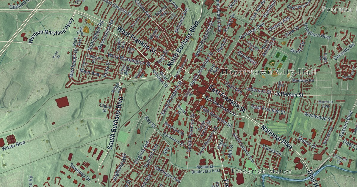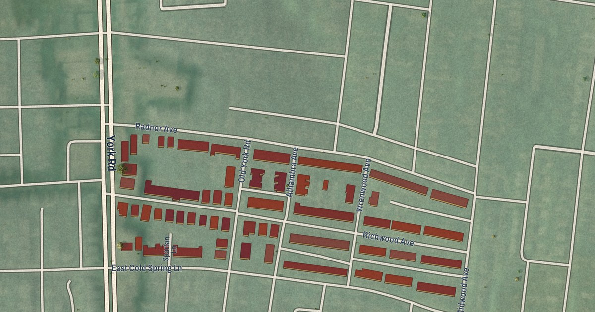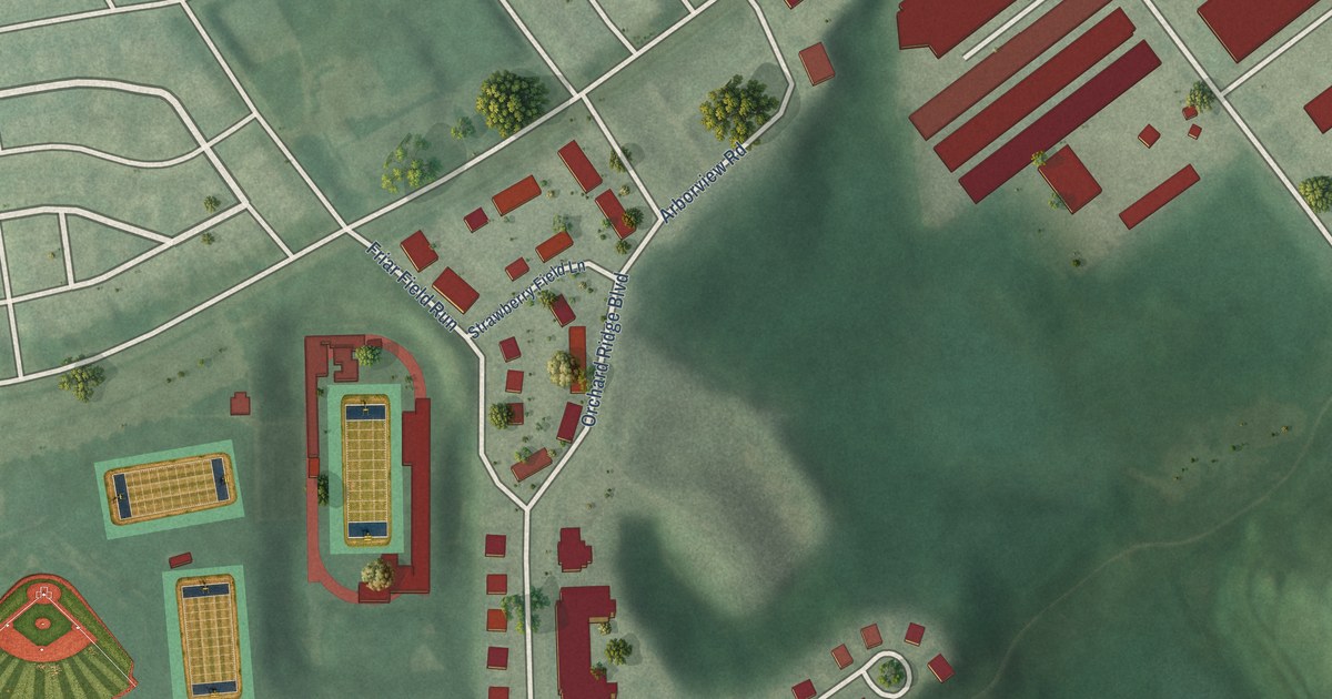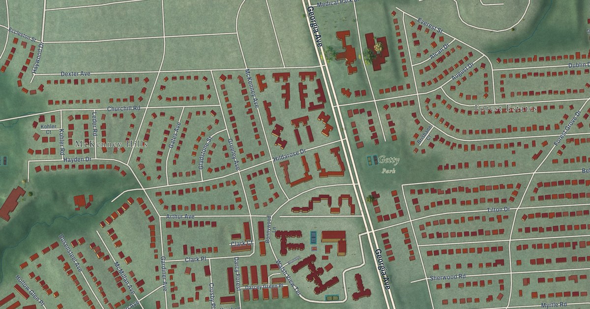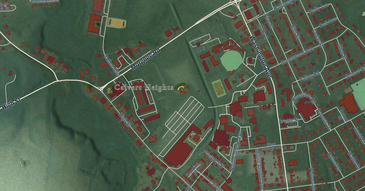
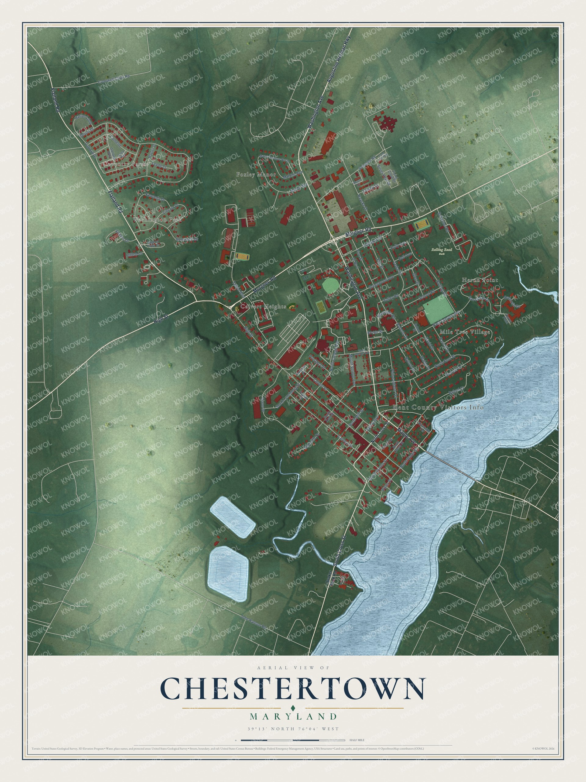
This beautifully detailed map of Chestertown, Maryland was created in 2026 using aerial imagery combined with modern topographical, census, street and landmark data. It's a modern aerial view of Chestertown in Kent County, Maryland, that combines modern data with a vintage aesthetic. The roads feature printed names, and if you look closely you can find your exact house accurately shown in its correct location.
Explore an aerial view of Chestertown, Maryland
On this map you'll find Kent County Visitors Info, Coventry Farms, Washington Park, Rolling Road Park, Calvert Heights, Foxley Manor, Heron Point, Mile Tree Village, Maple Avenue, Morgnec Road, Washington Avenue, High Street, and more. Each red shape is a building, so zoom in on the preview and look for yours.
Every town has a first chapter, and Chestertown is no exception. The Internet Archive puts it this way: "My own
earliest distinct recollection of the Primary School,
as it was then called in Chestertown, dates back to
about 1852."
Chestertown is a town in Kent County. The Census Bureau counted 5,532 people here in 2020.
Take a closer look at the Chestertown map
Names on this map
These names are printed on this map.
Places: Kent County Visitors Info, Coventry Farms, Washington Park, Rolling Road Park, Calvert Heights, Foxley Manor, Heron Point and Mile Tree Village.
Streets and roads: Maple Avenue, Morgnec Road, Washington Avenue, High Street, Flatland Road, South Cross Street, Augustine Herman Highway, Roberts Drive, Pine Street, Byford Court, South Queen Street, Devon Drive.
More street names, A to Z
Acorn Drive, Adela Way, Al No 1, Barroll Drive, Bell Avenue, Bohemia Drive, Brown Street, Byford Drive, Calvert Street, Camelot, Cannon Street, Cedar Street, Conley Drive, Court Street, Cromwell Clark Road, David Drive, Dixon Drive, East Campus Avenue, Edge of Town Drive, Elm Street, Flying Cloud Drive, Garland Way, Glen Street, Greenwood Avenue, Haacke Drive, Hadaway Drive, Harlan Loop, Hawkins Drive, Hilltop Lane, Holly Avenue, Island Lark Way, John Hanson Road, Kennedy Drive, Landing Lane, Leeds Court, Lincoln Drive, Malone Avenue, Manor Avenue, Manor Avenue North, Mayfair Drive, Mount Vernon Avenue, North College Avenue, North Cross Street, North Kent Street, North Mill Street, North Queen Street, North Water Street, Philosophers Terrace, Poplar Street, Prospect Street, Quaker Neck Road, Radcliffe Drive, Richard Drive, Riverside Road, Riverside Terrace, Rolling Road, Roosevelt Drive, Sassafras Drive, Schauber Road, Scheeler Road, School Road, School Street, Silver Heel Drive, South Kent Street, South Lynchburg Street, Spring Avenue, Talbot Boulevard, Trafford Drive, Valley Road, Vickers Drive, Waldo Drive, Water Street, West Campus Avenue.
Created by KNOWOL in 2026. The buildings are small red shapes, the roads carry their printed names, and shaded relief shows the shape of the land. The title panel reads "AERIAL VIEW OF CHESTERTOWN MARYLAND" with 39°13' NORTH 76°04' WEST.
Hang it in the hallway, the office or the cabin, or give it to someone who left Chestertown and still calls it home. Open the preview and look for a street you know. See sizes and frames for the Chestertown map.