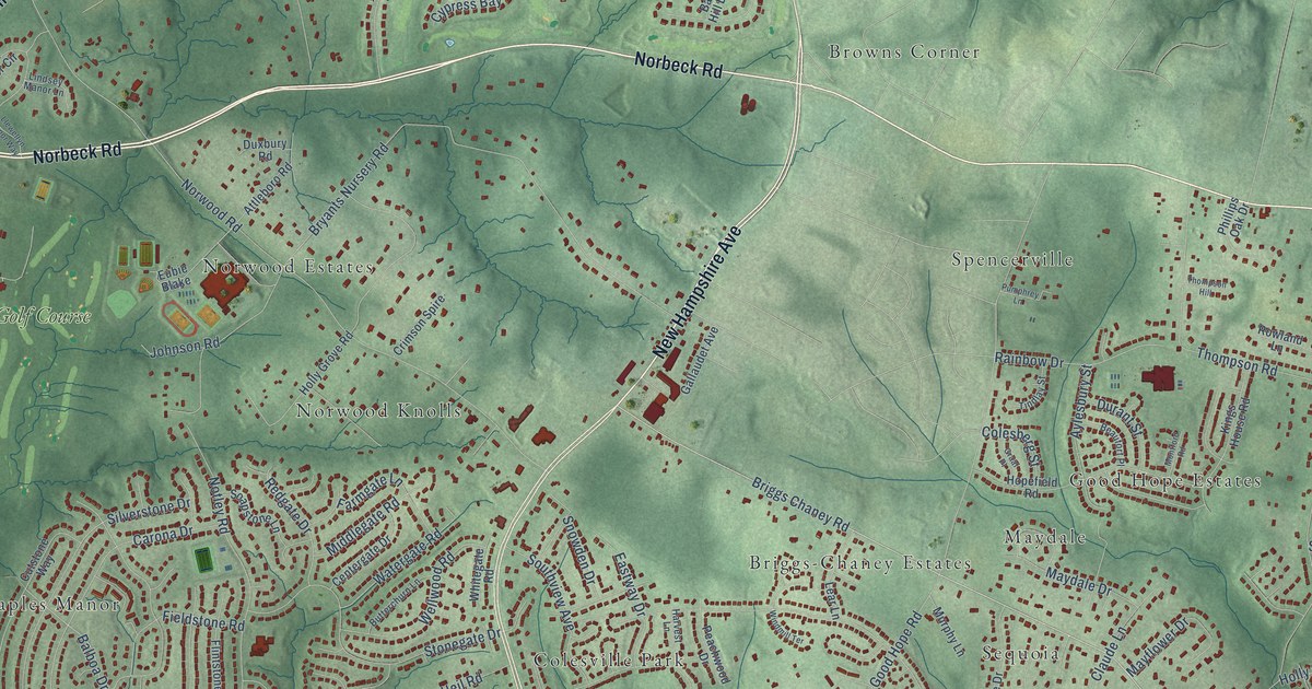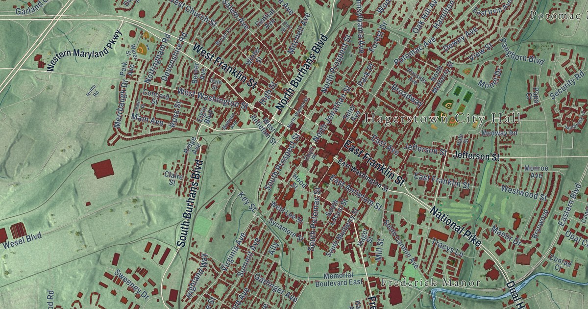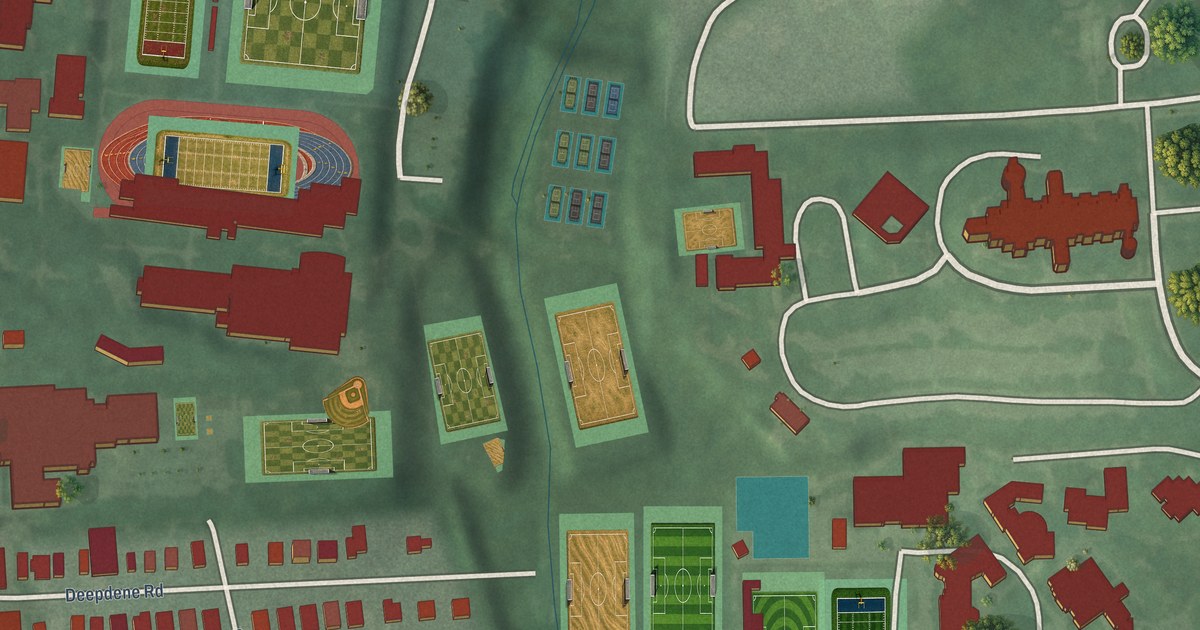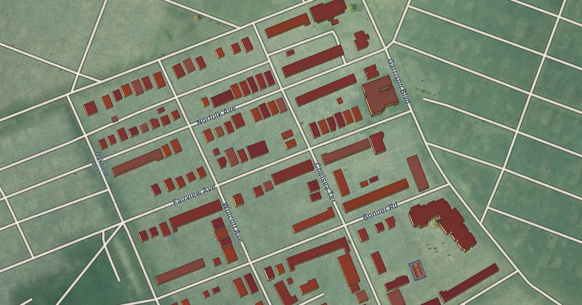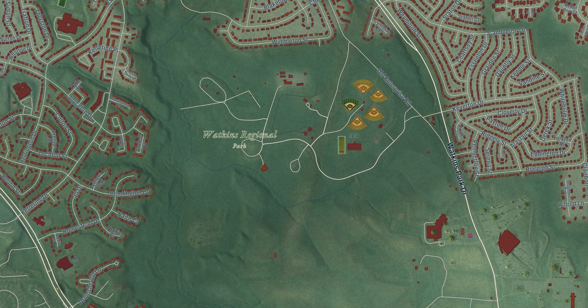
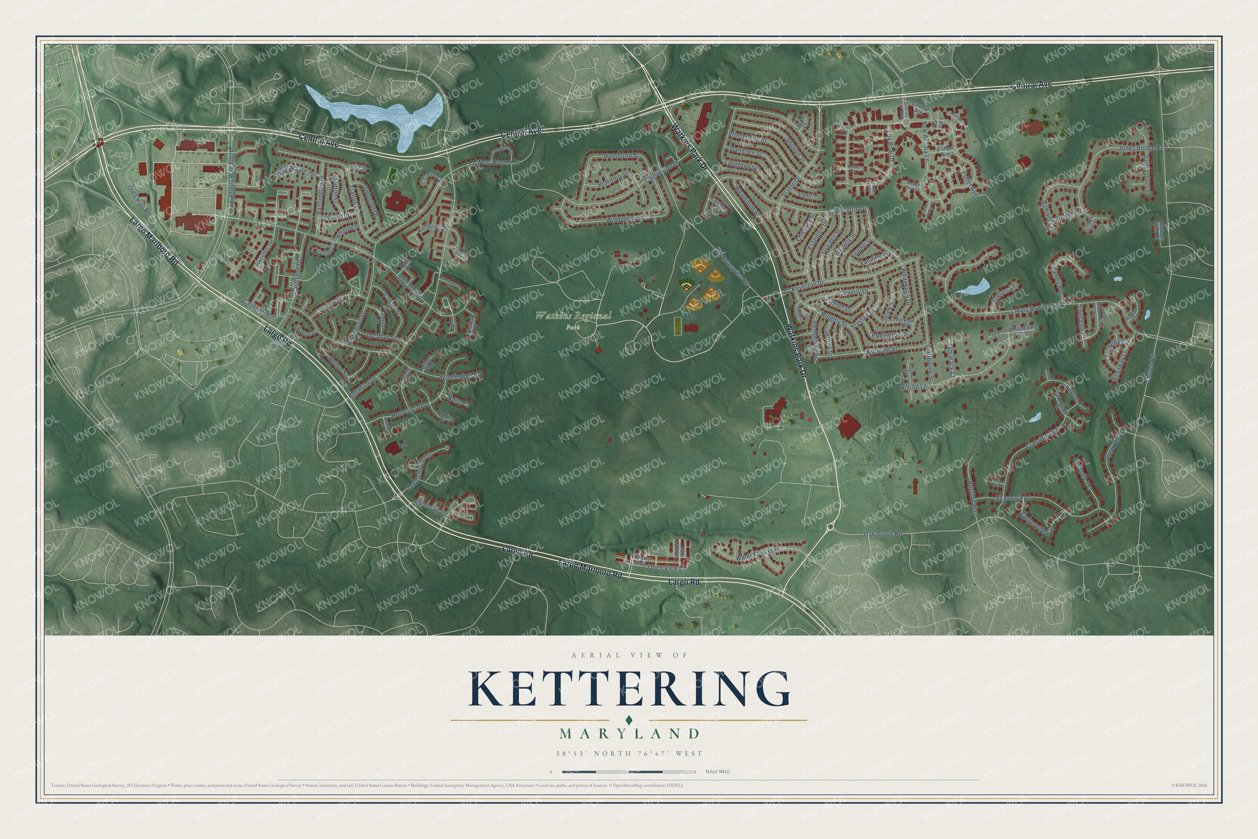
This beautifully detailed map of Kettering, Maryland was created in 2026 using aerial imagery combined with modern topographical, census, street and landmark data. It's a modern aerial view of Kettering in Prince George's County, Maryland, that combines modern data with a vintage aesthetic. The roads feature printed names, and if you look closely you can find your exact house accurately shown in its correct location.
Explore an aerial view of Kettering, Maryland
On this map you'll find Largo, Watkins Regional Park, Central Avenue, Largo Marlboro Road, Largo Road, Watkins Park Drive, Joyceton Drive, Kettering Drive, Mary Bowie Parkway, New Acadia Lane, Drumsheugh Lane, Church Road, and more. Each red shape is a building, so zoom in on the preview and look for yours.
Kettering has a story worth telling. The Old Mill Schoolhouse on Largo Road took its name from a mill on the Southwest Branch. The one-room school built in 1882 had a coal stove and 21 desks for 42 students, and it taught local children until 1934, when its pupils were sent to Upper Marlboro. Ralph Powers, later a chief judge of the circuit court, bought the old school, added a wing on each side and lived there with his family for 13 years. That's from the Maryland Historical Trust.
Kettering is a community in Prince George's County. The Census Bureau counted 14,424 people here in 2020.
Take a closer look at the Kettering map
Names on this map
These names are printed on this map.
Places: Largo and Watkins Regional Park.
Streets and roads: Central Avenue, Largo Marlboro Road, Largo Road, Watkins Park Drive, Joyceton Drive, Kettering Drive, Mary Bowie Parkway, New Acadia Lane, Drumsheugh Lane, Church Road, Campus Way South, Oak Grove Road.
More street names, A to Z
Abbottswood Court, Alastair Street, Ardonia Terrace, Ashaway Lane, Azalea Court, Baden Court, Bannington Drive, Belton Street, Bennington Drive, Bishops Hall Court, Blaketon Street, Bleak Hill Place, Bloomfield Lane, Brice Court, Burleigh Street, Cambleton Drive, Cameron Grove Boulevard, Castleton Circle, Castleton Drive, Chartsey Street, Chesterton Drive, Clairborne Street, Clifton Avenue, Cloverly Drive, Colton Street, Cranston Avenue, Cretia Place, Cynthia Court, Darlenen Street, Dauntly Street, Derek Street, Dunloring Place, Eddington Drive, Essenton Drive, Exeter Court, Feta Court, Firethorn Court, Fox Bow Drive, Fuller Avenue, Garden Gate Lane, Graiden Street, Hebron Lane, Hedge Row Court, Herrington Drive, Hidden Gate Court, Hillrod Lane, Homestead Drive, Hunterton Street, Isham Court, Jo Drive, Jones Bridge Road, Joyceton Court, Joyceton Terrace, Kendle Street, Kettering Place, Keverton Drive, Kylie Place, Laughton Street, Layton Street, Lochton Street, Lonsdale Court, Mackernut Court, Middleham Drive, Missoula Court, Modena Circle, Nairn Court, Norton Hill Court, Old Enterprise Road, Old Largo Road, Open View Lane, Panora Way, Payton Drive, Pemberton Street, Pettus Court, Pine Forest Lane, Pine Ridge Court, Prairie Court, Prenton Street, Princeleigh Street, Radiant Court, Red Jade Court, Rexford Way, Ridgely Street, Ridgley Court, Rifton Court, Sangerville Circle, Saxton Court, Serena Street, Settlers Way, Shannock Lane, Sholton Street, Staghorn Court, Staton Court, Staton Drive, Stith Court, Sugar Maple Terrace, Sutton Court, Sutton Drive, Tamarack Court, Thebes Lane, Thurston Drive, Trafton Court, Trafton Drive, Treton Court, Umbel Lane, Vandine Street, Water Fowl Way, West Branch Drive, Westerlo Court, Weymouth Street, Wharton Drive, Whitebark Court, Whiteholm Drive, Willows Way, Wimbleton Street, Wren Court, Yorkton Street.
See it on a wall
The Kettering map as a framed print. Swipe for more.


Created by KNOWOL in 2026. The buildings are small red shapes, the roads carry their printed names, and shaded relief shows the shape of the land. The title panel reads "AERIAL VIEW OF KETTERING, MARYLAND" with 38°53' NORTH 76°47' WEST.
It looks right in a kitchen, an office or a den, and it's a gift for anyone who grew up in Kettering or moved away. Open the preview and find your street. See sizes and frames for the Kettering map.