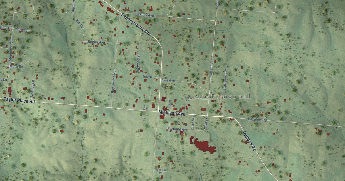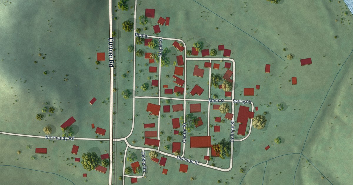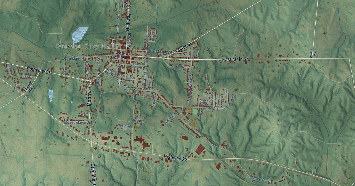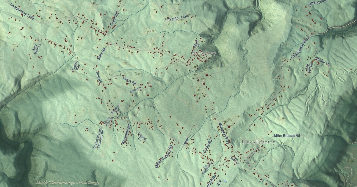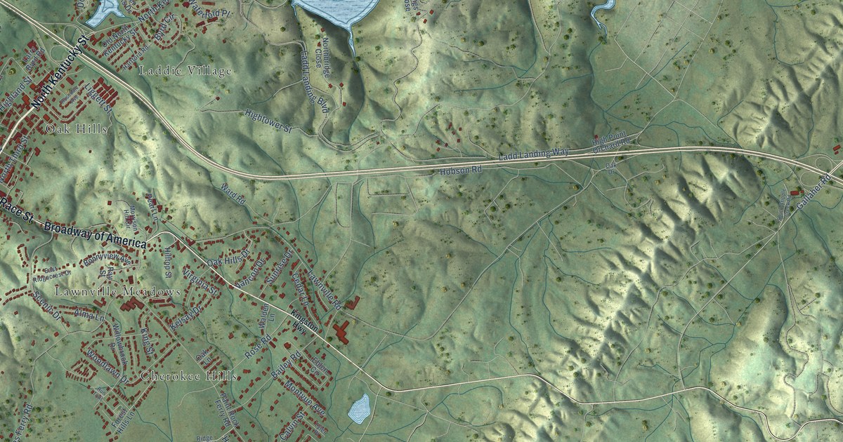
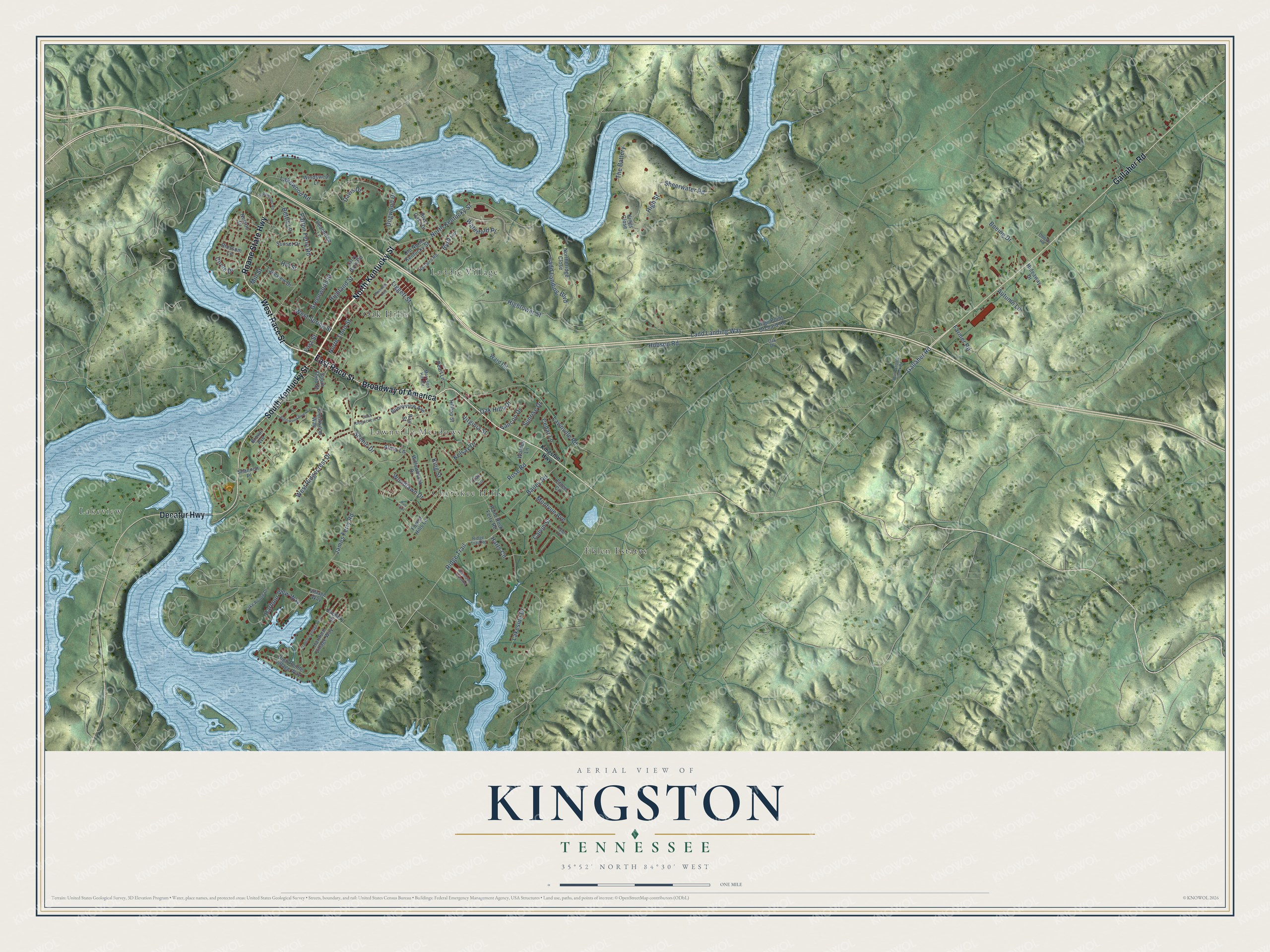
This beautifully detailed map of Kingston, Tennessee was created in 2026 using aerial imagery combined with modern topographical, census, street and landmark data. It's a modern aerial view of Kingston in Roane County, Tennessee, that combines modern data with a vintage aesthetic. The roads feature printed names, and if you look closely you can find your exact house accurately shown in its correct location.
Explore an aerial view of Kingston, Tennessee
On this map you'll find Cherokee Hills, Eblen Estates, Laddie Village, Lakeview, Lawnville Meadows, Oak Hills, North Kentucky Street, Roane State Highway, Broadway of America, West Race Street, South Kentucky Street, Gallaher Road, and more. Each red shape is a building, so zoom in on the preview and look for yours.
Here is a piece of Kingston history, in the words of the record. The Internet Archive puts it this way: "1866, he came to Kingston,
and established the paper of which he has been editor and proprietor ever since."
Kingston is a city in Roane County. The Census Bureau counted 5,953 people here in 2020.
Take a closer look at the Kingston map
Names on this map
These names are printed on this map.
Places: Cherokee Hills, Eblen Estates, Laddie Village, Lakeview, Lawnville Meadows and Oak Hills.
Streets and roads: North Kentucky Street, Roane State Highway, Broadway of America, West Race Street, South Kentucky Street, Gallaher Road, East Race Street, Decatur Highway, Rose Road, Oak Hills Drive, Ridge Trail, Patton Ferry Road.
More street names, A to Z
Alma Lane, Arsenault Crossing, Autumn Lane, Bailey Road, Bettis Lane, Blossom Lane, Boeing Drive, Bonnyview Avenue, Bradford Village Way, Brentwood Point Road, Brentwood Way, Brown Avenue, Byrd Circle, Calvin Street, Cedar Lane, Circle Drive, Davis Drive, Dogwood Drive, East Ridgecrest Drive, Eblen Circle, Farmer Road, First Street, Forest Hills Lane, Greenwood Street, Harbour View Way, Hartford Road, Hartford Village Way, Harts Circle, Hideaway Drive, Highland Street, High Pointe Village Way, High Point Orchard Road, High Street, Hightower Street, Hill Street, Hilltop Street, Hobson Road, James Ferry Road, Kelsay Drive, Kings Close, Kingston Highway, King Street, Ladd Landing Boulevard, Ladd Landing Way, Lake Pointe Drive, Lakeside Drive, Lakeview Drive, Lakewood Road, Larry Byrd Road, Lawnville Road, Liggett Street, Mill Street, Montvue Avenue, Morrison Hill Circle, Nelson Drive, Northbridge Close, North Third Street, Oak Drive, Oak Lane, Oberry Road, Old North Kentucky Street, Paint Rock Ferry Road, Peachtree Lane, Pearl Lane, Pineywoods Road, Ray Street, Ridge Trail Road, River Oaks Drive, Rosedale Avenue, Run Trail, Scenic Drive, Shannon Place, Sheerwater Road, South Cripple Creek Road, South Third Street, Sunrise Drive, Sunset Drive, The Battery, Tyler Place, Vancon Drive, Village Way, Virginia Street, Walden Lane, Ward Road, Waterford Place, West Ridgecrest Drive, West Spring Street, Willowbrook Drive, Windswept Lane, Woodlawn Drive, Zachery Drive.
Created by KNOWOL in 2026. The buildings are small red shapes, the roads carry their printed names, and shaded relief shows the shape of the land. The title panel reads "AERIAL VIEW OF KINGSTON TENNESSEE" with 35°52' NORTH 84°30' WEST.
It suits a den, a classroom or a front hall, and it makes a gift for anyone with Kingston roots. Open the preview and find the block you know. See sizes and frames for the Kingston map.