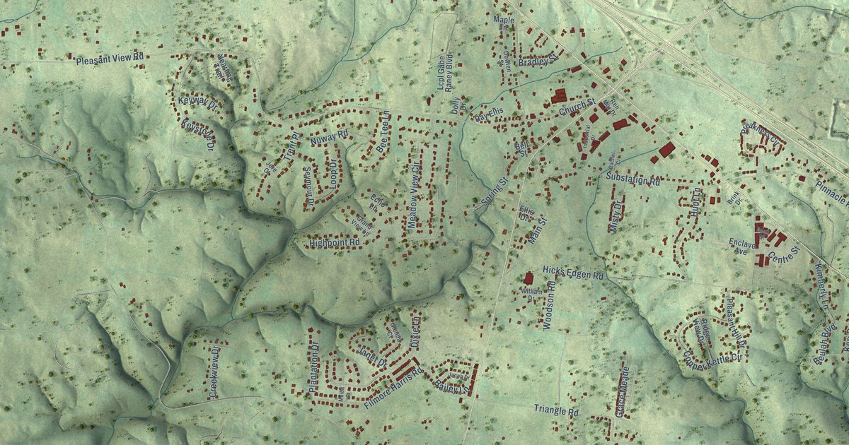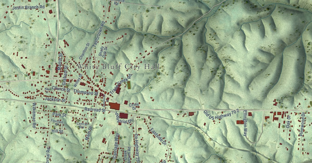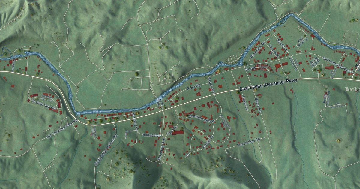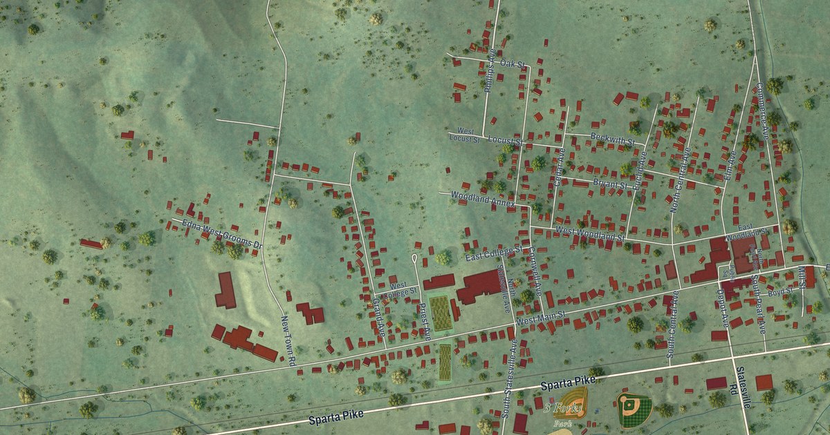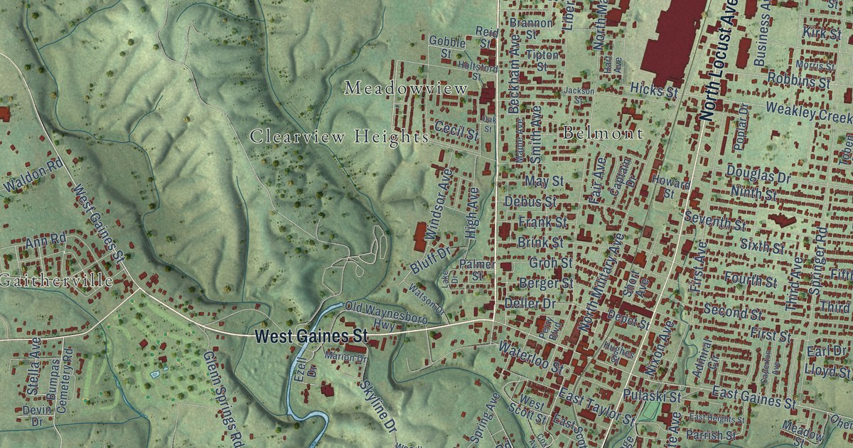
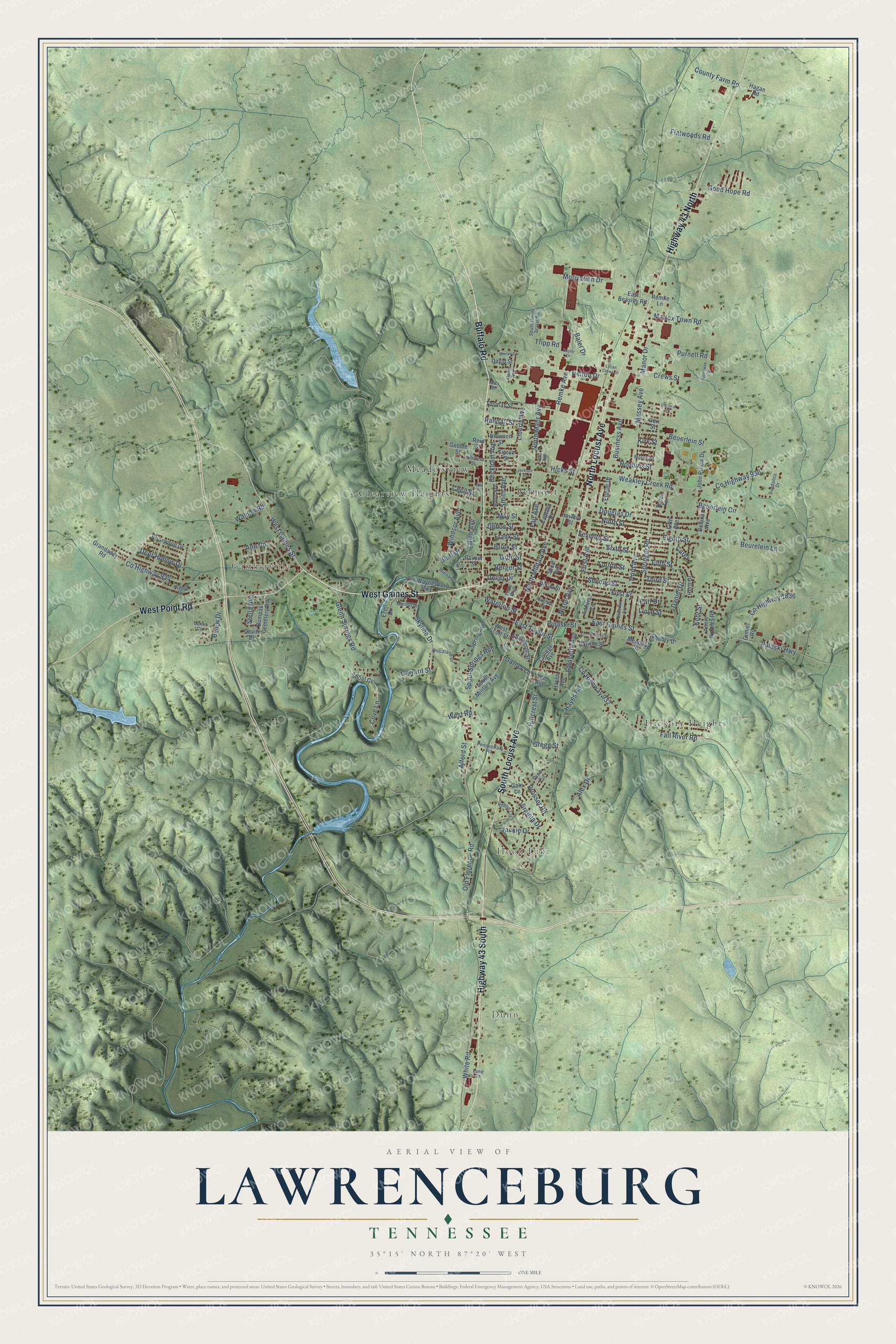
This beautifully detailed map of Lawrenceburg, Tennessee was created in 2026 using aerial imagery combined with modern topographical, census, street and landmark data. It's a modern aerial view of Lawrenceburg in Lawrence County, Tennessee, that combines modern data with a vintage aesthetic. The roads feature printed names, and if you look closely you can find your exact house accurately shown in its correct location.
Explore an aerial view of Lawrenceburg, Tennessee
On this map you'll find Dunn, Hood Lake, Gaitherville, Belmont, Clearview Heights, Hickory Heights, Meadowview, Buffalo Road, West Gaines Street, North Locust Avenue, South Locust Avenue, Highway 43 South, and more. Each red shape is a building, so zoom in on the preview and look for yours.
Lawrenceburg has a story worth telling. The record at tennesseeencyclopedia.net puts it this way: "Lawrenceburg, the county seat, was sited near the center of the county, but an important consideration in determining its location was the presence of Jackson's Military Road on the eastern border of the town."
Lawrenceburg is a city in Lawrence County. The Census Bureau counted 11,633 people here in 2020.
Take a closer look at the Lawrenceburg map
Names on this map
These names are printed on this map.
Places: Dunn, Hood Lake, Gaitherville, Belmont, Clearview Heights, Hickory Heights and Meadowview.
Streets and roads: Buffalo Road, West Gaines Street, North Locust Avenue, South Locust Avenue, Highway 43 South, Highway 43 North, West Point Road, East Gaines Street, Waterloo Street, Manor Drive, Hicks Street, White Road.
More street names, A to Z
Admiral Circle, Alex Drive, Alford Street, Annie Rooney Road, Ann Road, Baler Drive, Baylor Drive, Beckham Avenue, Belew Drive, Berger Street, Beuerlein Circle, Beuerlein Street, Beurelein Lane, Bluff Drive, Brannon Street, Briarwood Drive, Brink Street, Bumpas Cemetery Road, Business Avenue, Caperton Avenue, Captain Drive, Carey, Cecil Street, Claymar Drive, College Avenue, County Farm Road, County Highway 932, County Highway 934, County Highway 936, County Highway 1836, Cove Lane, Cox Avenue, Crews Street, Daniel Drive, David Street, Dawn Avenue, Debus Street, Deer Hollow Drive, Delana Avenue, Deller Drive, Depot Street, Devin Drive, Donna Circle, Douglas Drive, Earl Drive, East Beasley Road, East Heights Street, East Scott Street, East Taylor Street, Eighth Street, Ezell Drive, Fair Avenue, Fall River Road, Fifth Avenue, Fifth Street, First Avenue, First Street, Flatwoods Road, Fourth Street, Frank Street, Gale Lane, Garner Lane, Garrard Street, Geri Street, Gimlet Road, Glenn Springs Road, Gobble Street, Good Hope Road, Grandaddy Road, Gregg Street, Groh Street, Hagan Road, Hart Avenue, Hayes Avenue, Hayes Road, Helton Drive, Herb Drive, High Avenue, Hillcrest Street, Hilltop Drive, Holtsford Street, Howard Street, Hughes Street, Jackie Drive, Jackson Street, John Pillow Drive, Kent Street, Kirk Street, Lafayette Avenue, Lake Drive, Land Road, Lee Avenue, Liberty Avenue, Lillian Crews Street, Lloyd Street, Maple Avenue, Marion Drive, Massey Avenue, Mattox Town Road, May Street, Meadow Street, Morris Street, Motivation Drive, Ninth Street, Nixon Avenue, North Mahr Avenue, North Military Avenue, Northway Drive, Oak Street, Ohenry Drive, Old Florence Road, Old Waynesboro Highway, Palmer Street, Parrish Street, Penitentiary Road, Perry Boulevard, Pine Circle, Poplar Drive, Prosser Road, Pulaski Highway, Pulaski Street, Purnell Road, Randall Street, Reid Street, Remke Avenue, Remke Lane, Robbins Street, Rohlin Circle, Second Street, Seventh Street, Shirley Drive, Shoal Cv, Short Avenue, Sixth Street, Skyline Drive, Smith Avenue, South Military Avenue, South Mount Ararat Road, Spout Springs Road, Spring Avenue, Springer Road, Stella Avenue, Sundance Drive, Third Avenue, Third Street, Thomas Street, Tipton Street, Toben Terrace, Tripp Road, Virginia Drive, Voss Street, Waldon Road, Watson Drive, Weakley Creek Road, West Road, West Scott Street, Windsor Avenue, Woodland Drive.
Created by KNOWOL in 2026. The buildings are small red shapes, the roads carry their printed names, and shaded relief shows the shape of the land. The title panel reads "AERIAL VIEW OF LAWRENCEBURG TENNESSEE" with 35°15' NORTH 87°20' WEST.
It looks right in a kitchen, an office or a den, and it's a gift for anyone who grew up in Lawrenceburg or moved away. Open the preview and find your street. See sizes and frames for the Lawrenceburg map.