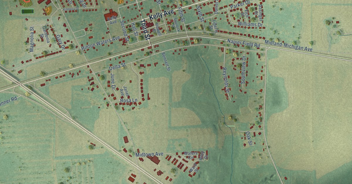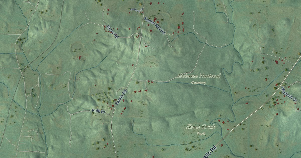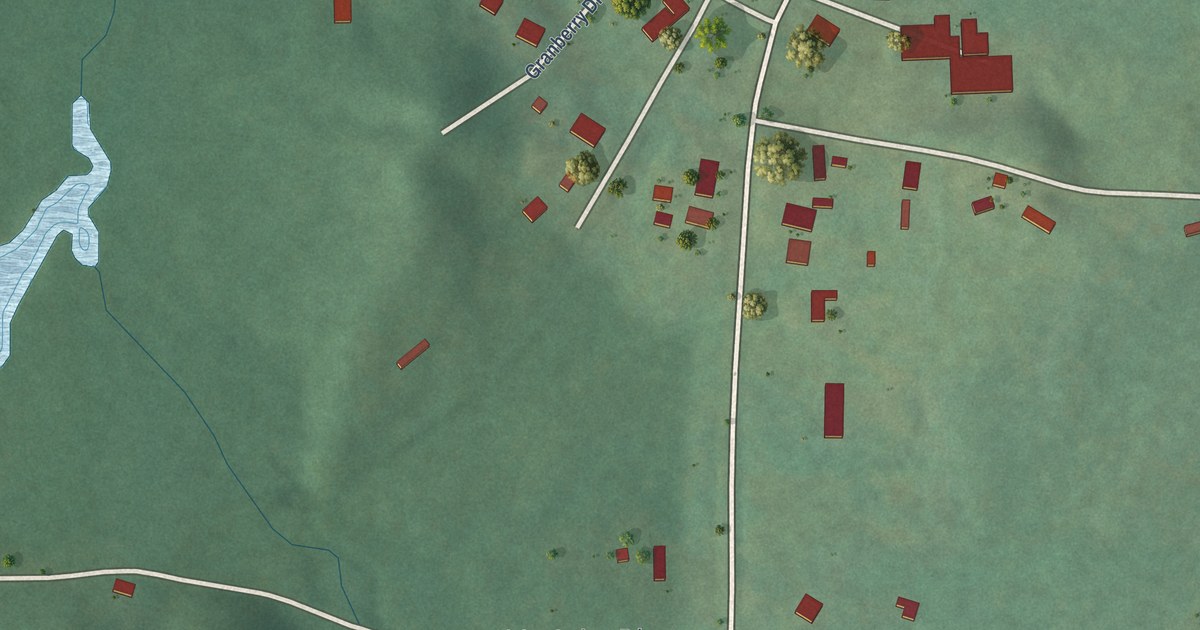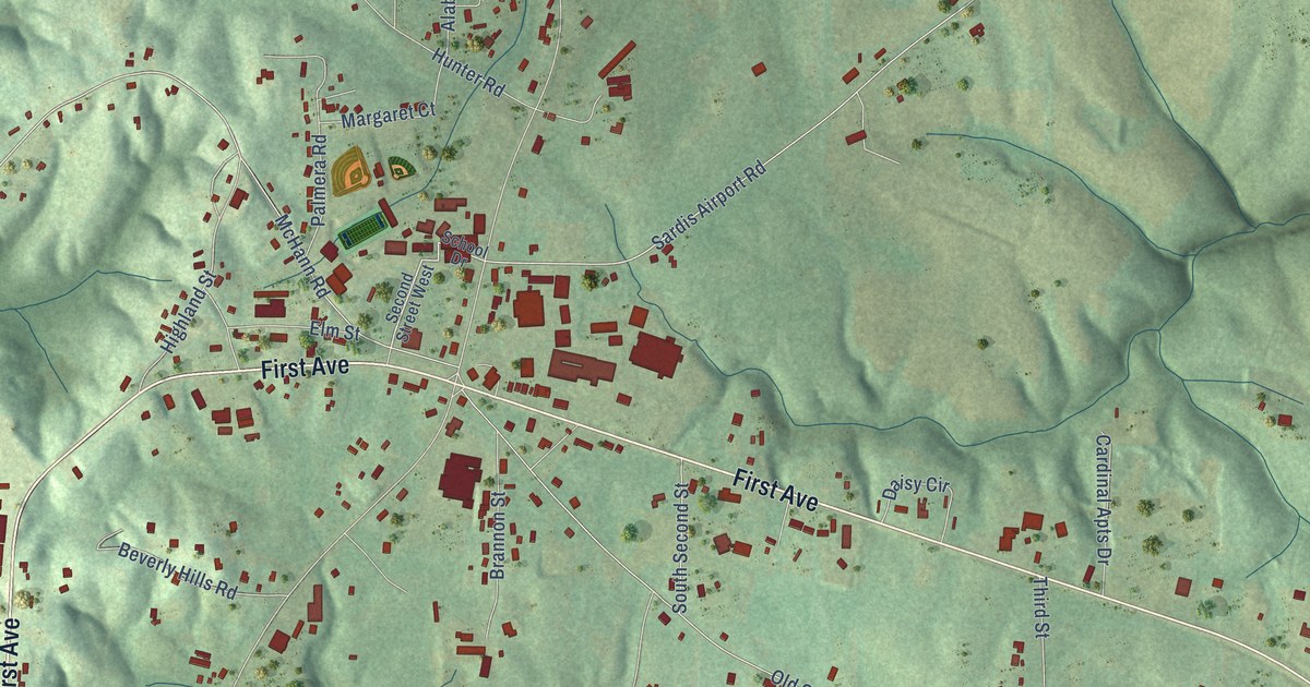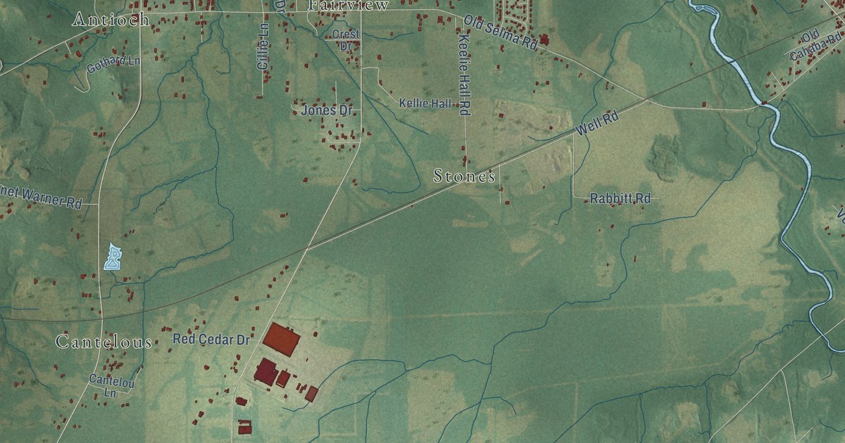
This beautifully detailed map of Catoma, Alabama was created in 2026 using aerial imagery combined with modern topographical, census, street and landmark data. It’s a one-of-a-kind view of Catoma that combines accurate data with a vintage aesthetic. The map shows every building in its true location, many of the roads carry their names, and the shaded topographic relief shows the shape of the land.
Explore an aerial view of Catoma, Alabama
On the map you’ll find Hunter, Mount Sinai, Stones, Lee Farms, Cantelous, Cedar Point, Antioch, Country Estates, Fairview, Grovewood, and Selbrook, along with Birmingham Highway, and more. If you look closely you can even find your house accurately drawn in its correct location. Zoom in on the preview to look for yours.
Did You Know?
From Internet Archive: "Other mounds are found; one on south side of Catoma Creek fifty yards above Atlantic Coast Line Railroad bridge."
Catoma is a community in Montgomery County.
Take a closer look at the Catoma map
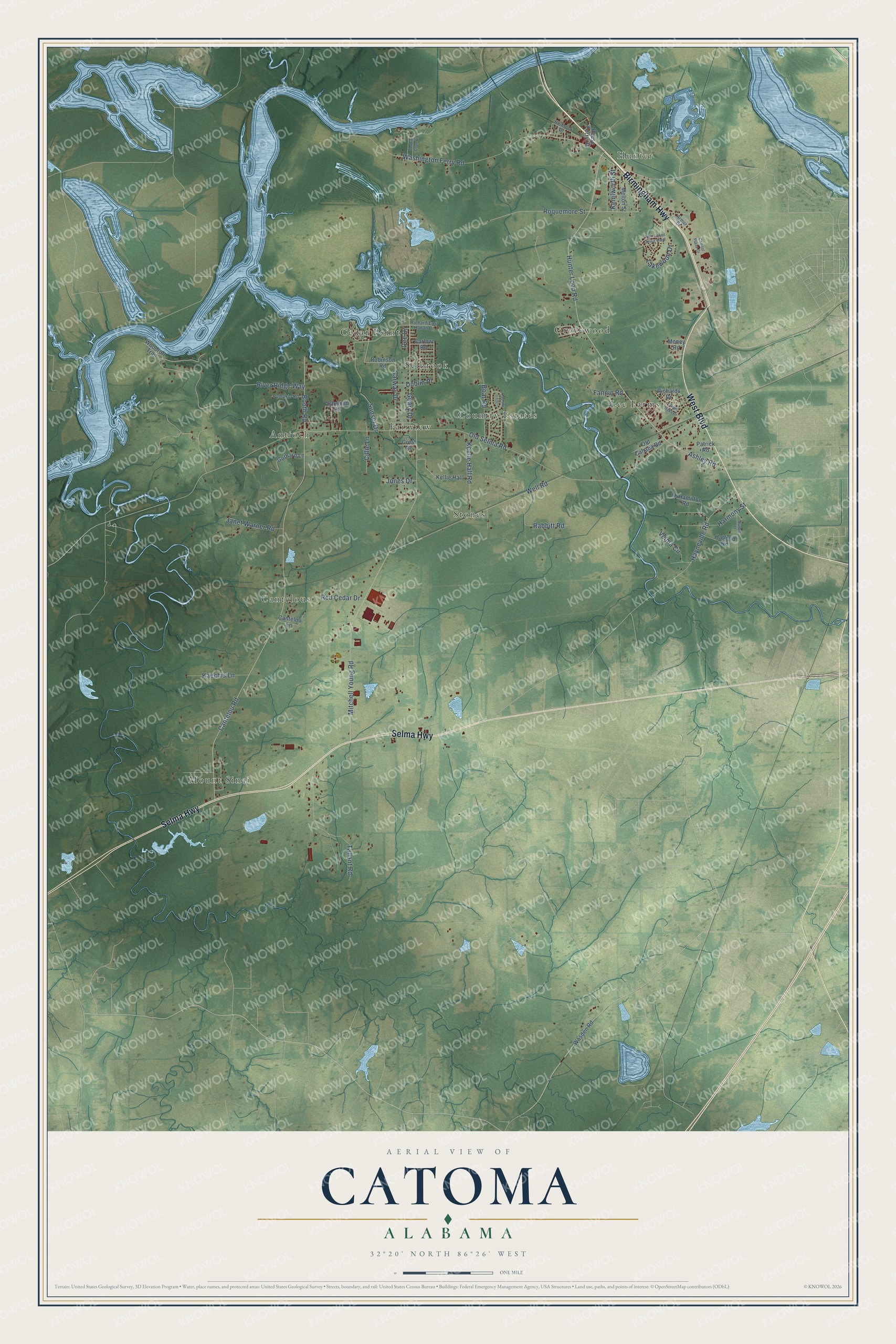
Names on this map
These names are printed on this map.
Places: Hunter, Mount Sinai, Stones, Lee Farms, Cantelous, Cedar Point, Antioch, Country Estates, Fairview, Grovewood and Selbrook.
Streets and roads: Birmingham Highway, West Boulevard, Selma Highway, Washington Ferry Road, Hunter Loop Road, Old Selma Road, Cantelou Road, Mitchell Young Road, River Ridge Way, Well Road, Roquemore Street, Geary Drive.
More street names, A to Z
Armor Drive, Ashley Road, Ashwood Circle, Boat Road, Booth Road, Cantelou Lane, Capitol Plaza Drive, Carlow Road, Cillie Lane, Corbin's Cove Road, Crest Drive, Daphne Lane, Dee Drive, Dublin Place, Durbin Street, Fannin Road, Garway Drive, Gothard Lane, Harmony Street, Hatfield Road, Hayneville Road, Holbrook Drive, Janet Warner Road, Jones Drive, Kaechis Lane, Keelie Hall Road, Kellie Hall, Kenilworth Street, Lakewood Drive, Lh Hamilton Road, Melton Street, Money Road, Old Cahaba Road, Patrick Road, Pumpkin Road, Rabbitt Road, Red Cedar Drive, Reese Ferry Road, Richard East Hanan Drive, Richards Drive, Robinson Road, Sunset Drive, Tallant Road, Twin Lakes Drive West, Twin Oaks Drive, Velma Circle, Wasden Road, Woodruff Trail.
See it on a wall
The Catoma map as a framed print. Swipe for more.


This beautifully detailed map of Catoma makes an attractive addition to your office, library, or den, and it can even be used to teach children the geography and history of the area. It also makes a great gift for anyone who grew up in Catoma or moved away. When you’re done exploring, click here to get your copy of the Catoma map.