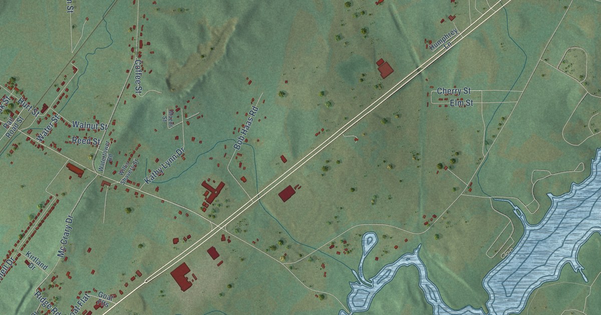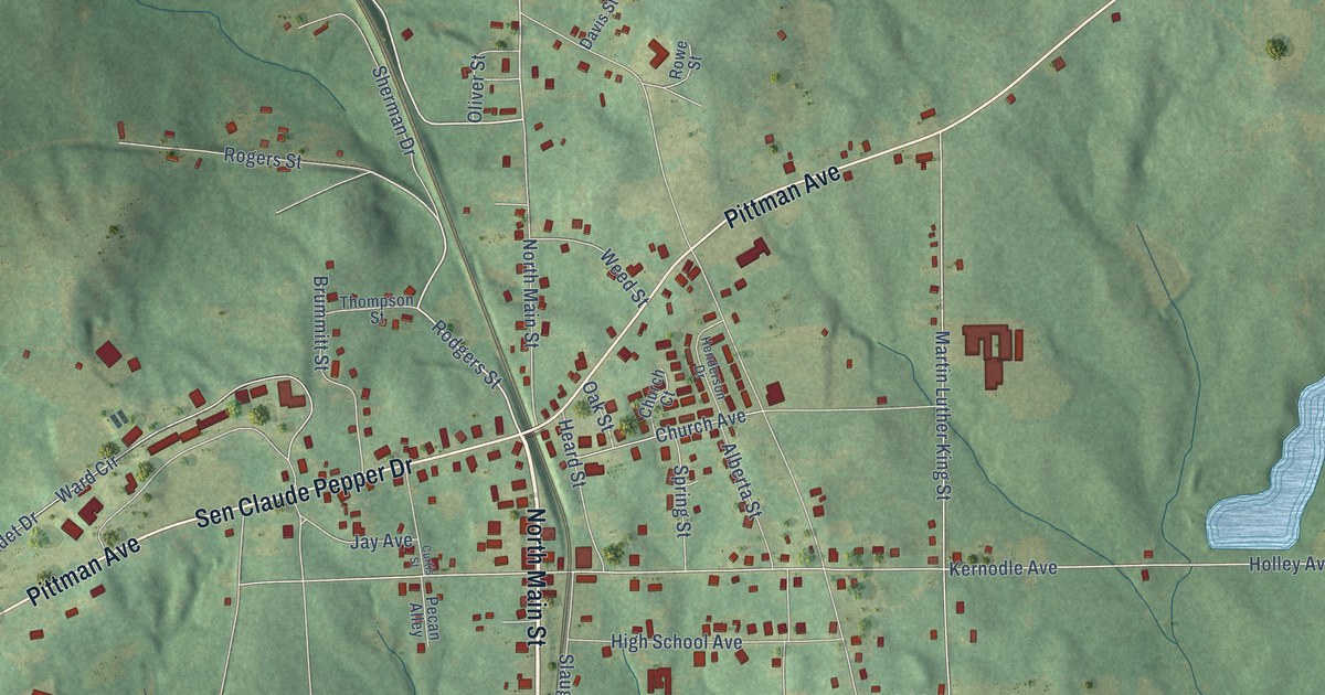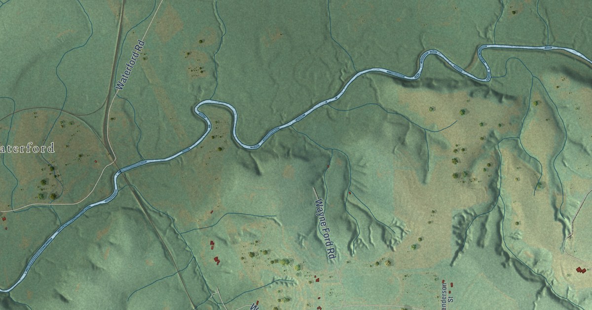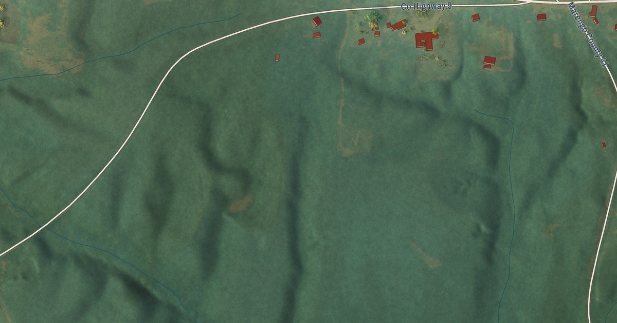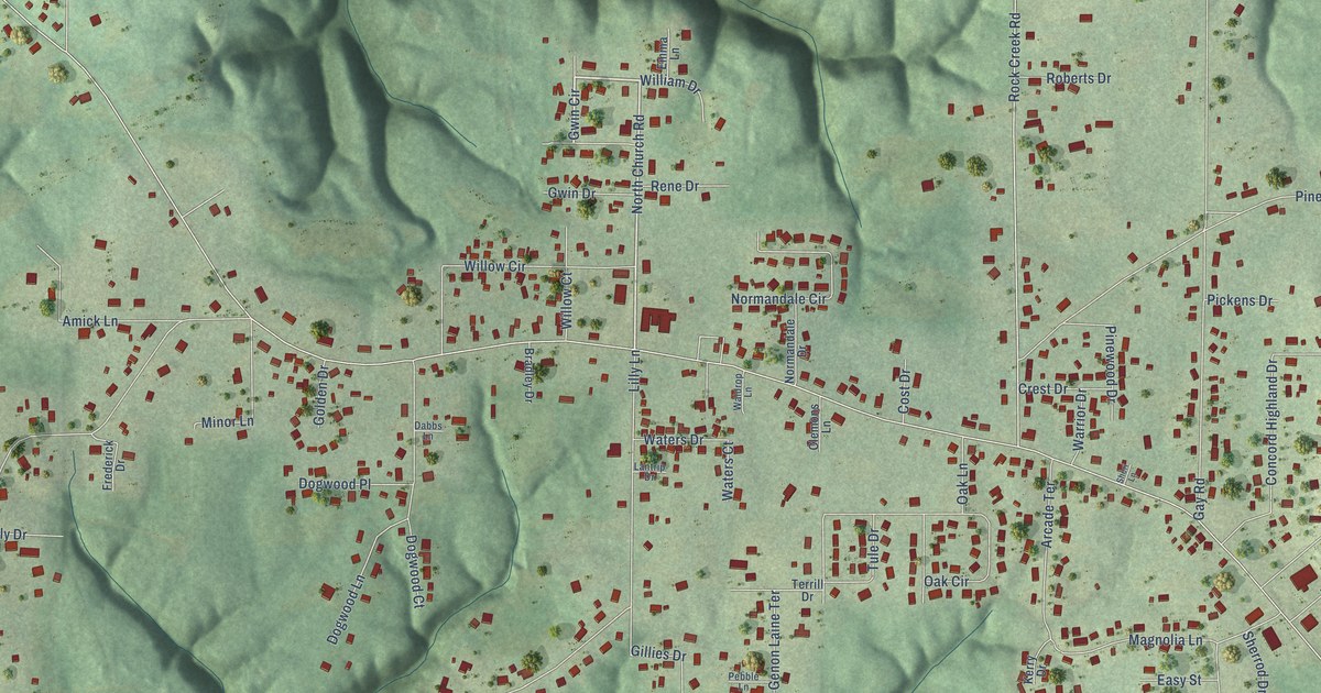
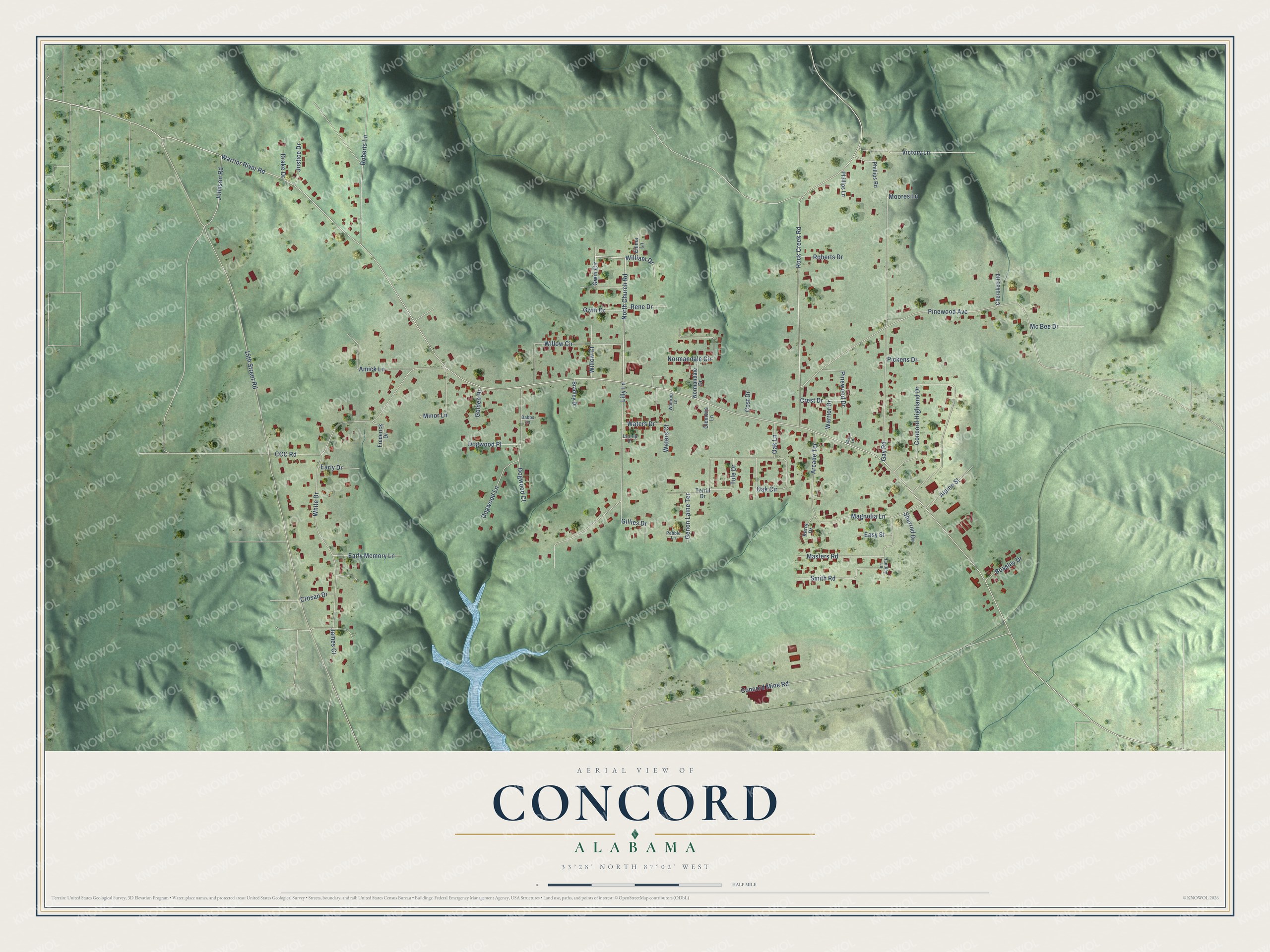
This beautifully detailed map of Concord, Alabama was created in 2026 using aerial imagery combined with modern topographical, census, street and landmark data. It's a modern aerial view of Concord in Jefferson County, Alabama, that combines modern data with a vintage aesthetic. The roads feature printed names, and if you look closely you can find your exact house accurately shown in its correct location.
Explore an aerial view of Concord, Alabama
On this map you'll find Gwin Circle, North Church Road, Warrior River Road, 15th Street Road, White Drive, Concord Mine Road, Pinewood Avenue, Rock Creek Road, Gay Road, Concord Highland Drive, Lilly Lane, Roberts Lane, and more. Each red shape is a building, so zoom in on the preview and look for yours.
Concord is a community in Jefferson County. The Census Bureau counted 1,690 people here in 2020. Concord sits about 3 miles southeast of Rock Creek, 4 miles north of Hueytown and 4 miles southwest of Pleasant Grove. The map prints the town name in its title panel, with the coordinates below it.
Take a closer look at the Concord map
Names on this map
These names are printed on this map.
Streets and roads: Gwin Circle, North Church Road, Warrior River Road, 15th Street Road, White Drive, Concord Mine Road, Pinewood Avenue, Rock Creek Road, Gay Road, Concord Highland Drive, Lilly Lane, Roberts Lane.
More street names, A to Z
Alpine Street, Amick Lane, Arcade Terrace, Beasley Drive, Bradley Drive, CCC Road, Cherokee Road, Clemons Lane, Cost Drive, Crest Drive, Crosan Drive, Dabbs Lane, Dogwood Court, Dogwood Lane, Dogwood Place, Drake Drive, Early Drive, Early Memory Lane, Easy Street, Emma Lane, Frederick Drive, Genon Laine Terrace, Gillies Drive, Golden Drive, Gwin Drive, Handley Lane, James Court, Johnson Road, Justice Drive, Kerry Drive, Lantrip Drive, Magnolia Lane, Masters Road, Mc Bee Drive, Minor Lane, Moores Lane, Normandale Circle, Normandale Drive, Oak Circle, Oak Lane, Pebble Lane, Phillips Lane, Phillips Road, Pickens Drive, Pinewood Drive, Rene Drive, Roberts Drive, Sheri Lane, Sherrod Drive, Smith Road, Terrill Drive, Tule Drive, Victory Lane, Waldrop Lane, Warrior Drive, Waters Court, Waters Drive, William Drive, Willow Circle, Willow Court.
See it on a wall
The Concord map as a framed print. Swipe for more.


Created by KNOWOL in 2026. The buildings are small red shapes, the roads carry their printed names, and shaded relief shows the shape of the land. The title panel reads "AERIAL VIEW OF CONCORD, ALABAMA" with 33°28' NORTH 87°02' WEST.
It suits a den, a classroom or a front hall, and it makes a gift for anyone with Concord roots. Open the preview and find the block you know. See sizes and frames for the Concord map.