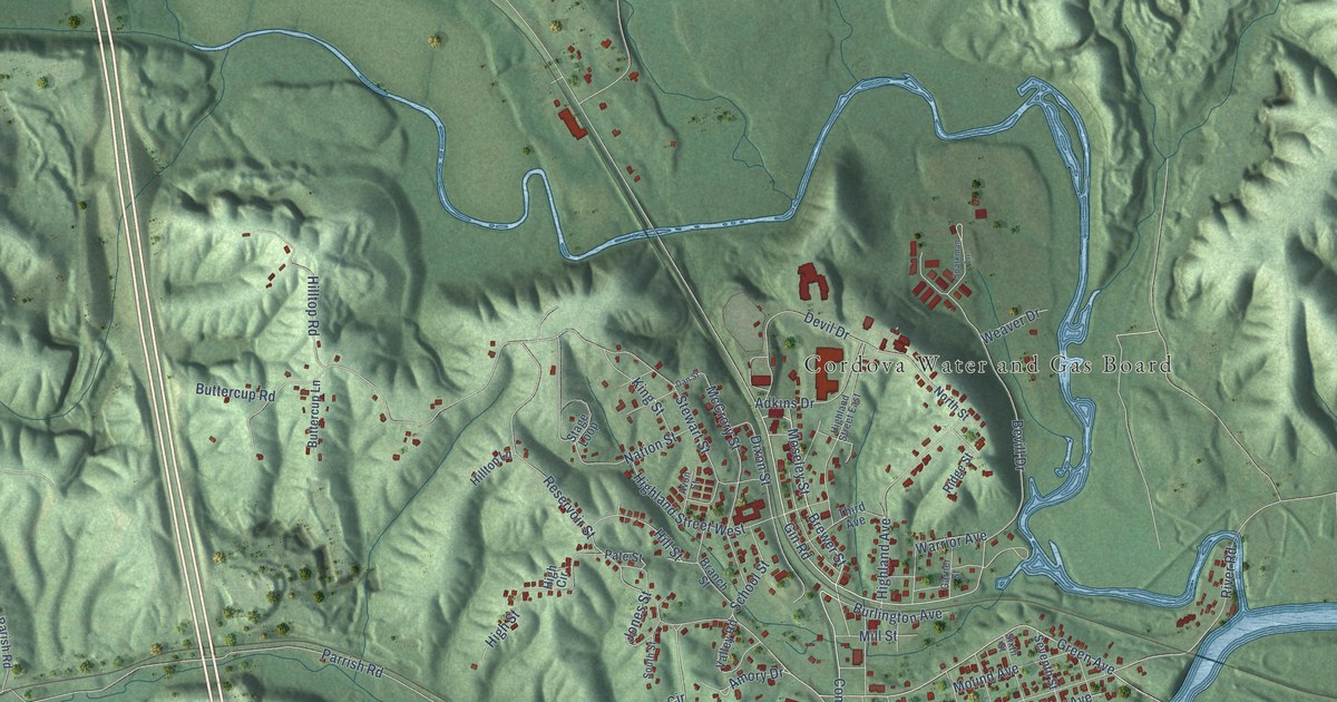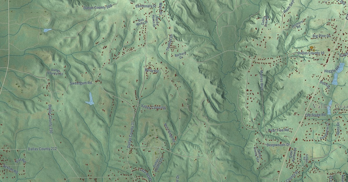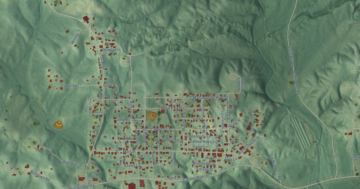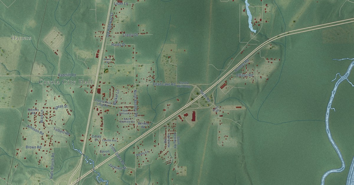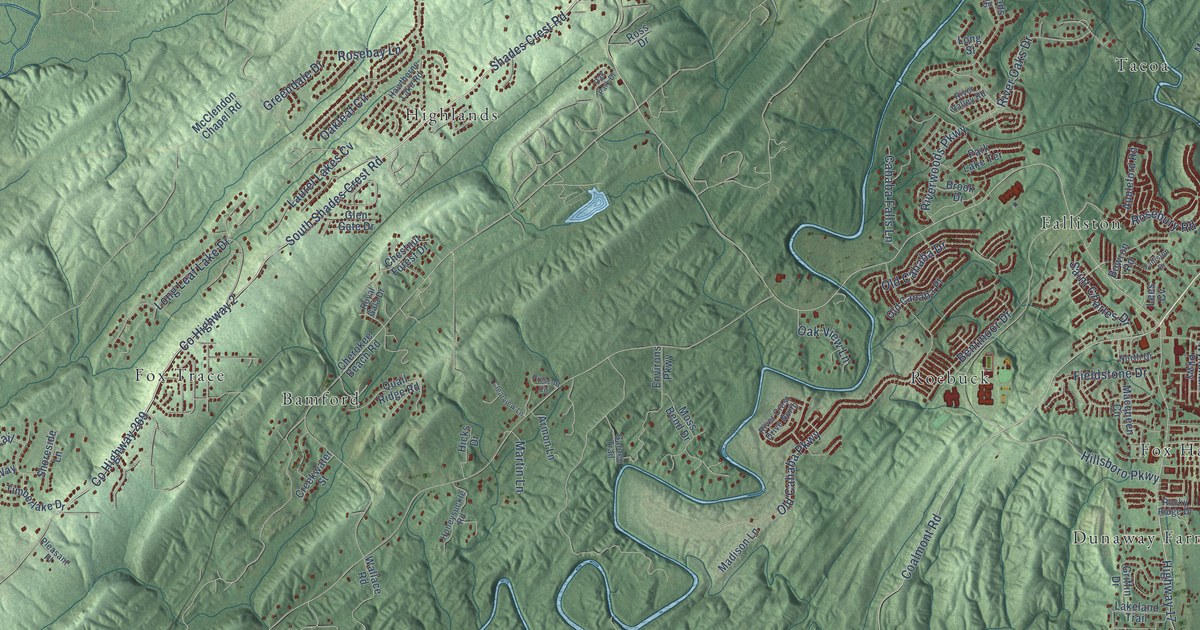
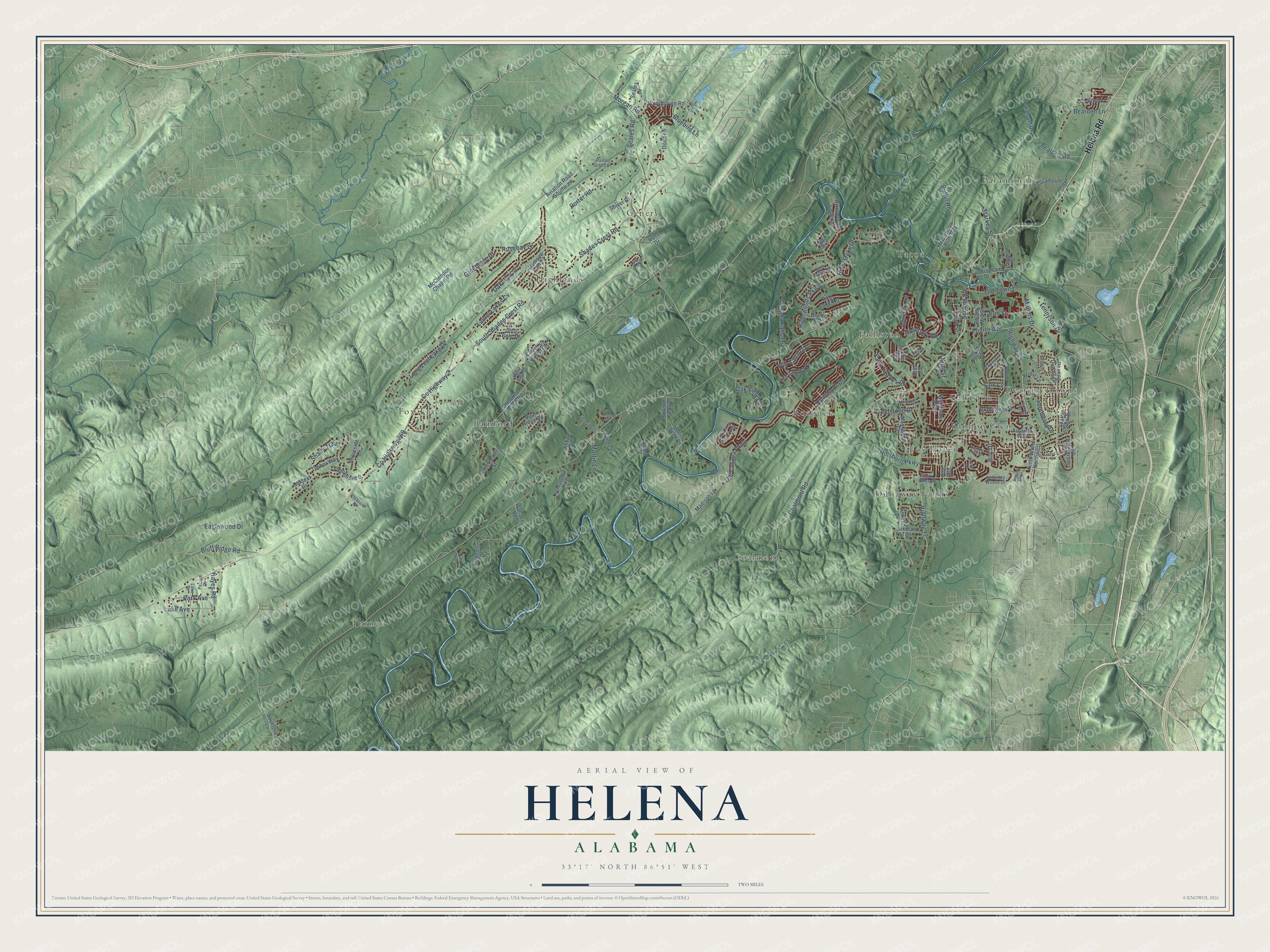
This beautifully detailed map of Helena, Alabama was created in 2026 using aerial imagery combined with modern topographical, census, street and landmark data. It's a modern aerial view of Helena in Shelby County, Alabama, that combines modern data with a vintage aesthetic. The roads feature printed names, and if you look closely you can find your exact house accurately shown in its correct location.
Explore an aerial view of Helena, Alabama
On this map you'll find Bamford, Calliston, Coalmont, Dearing Downs, Dunaway Farms, Falliston, Fox Haven, Fox Trace, Genery, Highlands, Paramount, Roebuck, and more. Each red shape is a building, so zoom in on the preview and look for yours.
Every town has a first chapter, and Helena is no exception. The record at encyclopediaofalabama.org puts it this way: "Helena Freight House & Depot Helena remained prosperous until the coal mines began to wind down their operations in the late 1910s, and the steel mill, then called Conner Steel, moved to Birmingham."
Helena is a city in Shelby County. The Census Bureau counted 20,914 people here in 2020.
Take a closer look at the Helena map
Names on this map
These names are printed on this map.
Places: Bamford, Calliston, Coalmont, Dearing Downs, Dunaway Farms, Falliston, Fox Haven, Fox Trace, Genery, Highlands, Paramount, Roebuck, Shannon Glen, Tacoa and Turner.
Streets and roads: Helena Road, South Shades Crest Road, County Highway 2, County Highway 269, Shades Crest Road, Riverwoods Parkway, Fieldstone Drive, Bluff Ridge Road, Highway 95, River Oaks Drive, Coalmont Road, Hillsboro Parkway.
More street names, A to Z
Amberley Woods Drive, Appleford Road, Armon Lane, Augusta Way, Aviation Road Southeast, Bearden Lane, Bearden Road, Belmont Lane, Bentmoor Drive, Bluebird Lane, Bowron Road, Bridle Lane, Bridlewood Drive, Brook Drive, Cahaba Falls Lane, Chadwick Lane, Cherokee Beach Road, Chestnut Forest Drive, Clearview Lane, Cox Cv, Creekwater Street, Cunningham Drive, Dearing Downs Drive, Dodd Lane, Eaglewood Drive, Elm Street, Englewood Road, Environs Parkway, Falliston Drive, Fourth Avenue, Gallant Fox Drive, Garden Trail, Glen Gate Drive, Greendale Drive, Griffin Drive, Hawthorne Lake Road, Hayes Road, Hickory Point Drive, Hicks Drive, Highway 17, Hollow Lane, Honeysuckle Road, Keeneland Drive, King Street, Lake Avenue, Lake Drive, Lakeland Trail, Laurel Lakes Cv, Lawley Street, Lees Cv, Long Leaf Lake Drive, Long Street, Macqueen Circle, Madison Lane, Martin Lane, McClendon Bluff Road, McClendon Chapel Road, Morgan Road, Moss Bend Drive, Mullins Drive, Ninth Street Northwest, North Drive, Oak Brook Lane, Oakleaf Circle, Oakleaf Drive, Oak Park Drive, Oak View Lane, Old Cahaba Drive, Old Cahaba Parkway, Old Canaba Place, Old Town Place, Paramont Drive, Paramount Drive, Park Avenue, Park Lake Terrace, Pecan Drive, Pleasant Place, Poplar Lane, Porter Green Place, Porter Road, Prescott Circle, Pup Run, Quail Ridge Road, Ridgemont Drive, River Crest Drive North, River Valley Road, Riverwoods Landing, Rocky Ridge Drive, Rolling Mill Street, Rosebay Lane, Rosebury Road, Ross Drive, Royal Gala Drive, Roy Drive, Ruffin Road, Saint Charles Drive, Seales Drive, Seales Road, Seattle Slew Drive, Second Street, Secretariat Drive, Sequoia Trail, Shady Trail, Shiver Drive, Shoreside Lane, Southern Lane, Southwind Drive, Starkey Street, Tennyson Drive, Third Street, Timber Drive, Timberlake Drive, Timber Way, Tucker Road, Wallace Road, Woodhaven Road, Wyndham Parkway.
Created by KNOWOL in 2026. The buildings are small red shapes, the roads carry their printed names, and shaded relief shows the shape of the land. The title panel reads "AERIAL VIEW OF HELENA ALABAMA" with 33°17' NORTH 86°51' WEST.
Hang it in the hallway, the office or the cabin, or give it to someone who left Helena and still calls it home. Open the preview and look for a street you know. See sizes and frames for the Helena map.