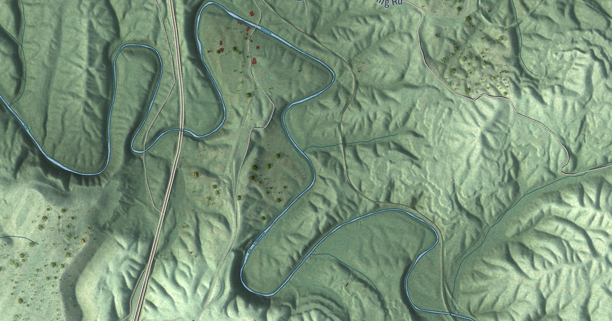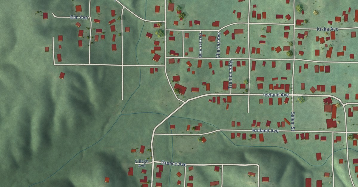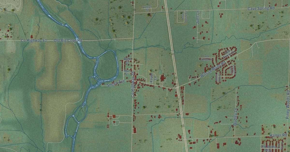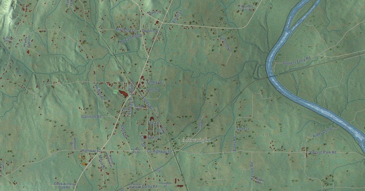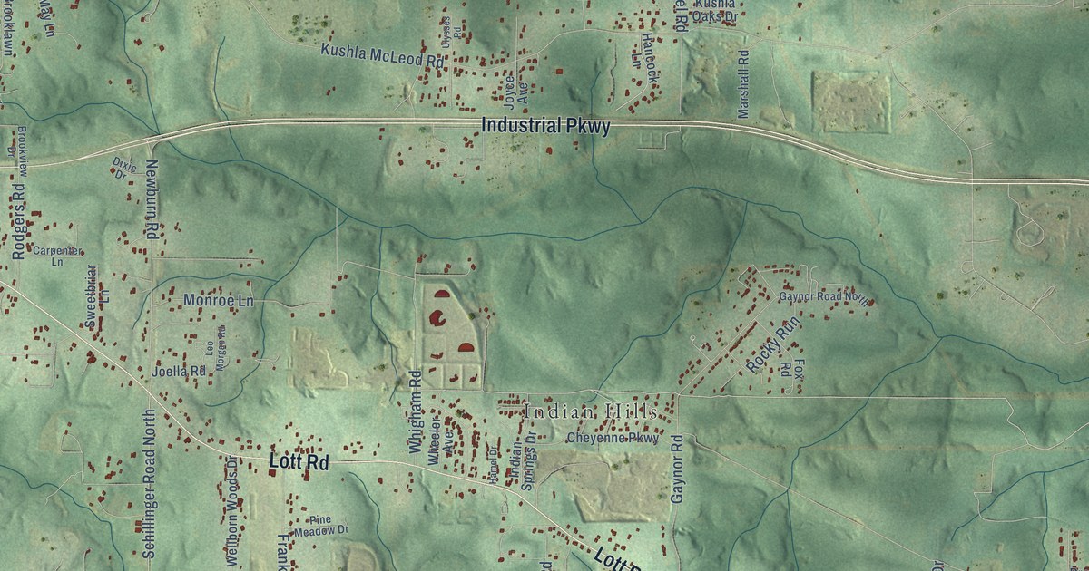
This beautifully detailed map of Indian Springs, Alabama was created in 2026 using aerial imagery combined with modern topographical, census, street and landmark data. It’s a one-of-a-kind view of Indian Springs that combines accurate data with a vintage aesthetic. The map shows every building in its true location, many of the roads carry their names, and the shaded topographic relief shows the shape of the land.
Explore an aerial view of Indian Springs, Alabama
On the map you’ll find Parkwood, Millertown, Indian Hills, Henry Road Estates, and Lott, along with Lott Road, Industrial Parkway, West Lott Road, Highpoint Boulevard, Henry Road, Bellcase Road, Spice Pond Road, and more. If you look closely you can even find your house accurately drawn in its correct location. Zoom in on the preview to look for yours.
Take a closer look at the Indian Springs map
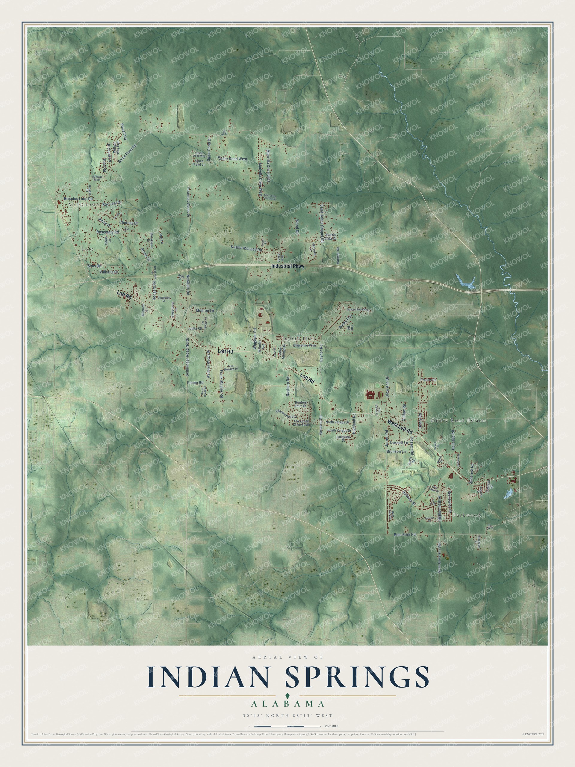
Names on this map
These names are printed on this map.
Places: Parkwood, Millertown, Indian Hills, Henry Road Estates and Lott.
Streets and roads: Lott Road, Industrial Parkway, West Lott Road, Highpoint Boulevard, Henry Road, Bellcase Road, Spice Pond Road, Kushla McLeod Road, Bear Fork Road, Jarrett Road, Gaynor Road, Newburn Road.
More street names, A to Z
Anise Drive, Augusta Drive, Bay Leaf Drive, Bent Tree Road, Broadus Loop Road, Broadus Road, Brook Drive, Brooklawn Drive, Brookview Drive, Brunson Lane, Brunswick Drive, Carpenter Lane, Cheyenne Parkway, Chutney Drive, Cochran Road, Craig Drive, Davis Road, Denise Circle, Dixie Drive, Doral Court, Dossett Lane, Dossett Road, East Markris Circle, Fox Creek Drive South, Fox Road, Frank Maples Road, Gaynor Road North, Glen Eagle Drive, Glow Ann Drive, Golfway Street, Greaves Road, Hamel Drive, Hancock Lane, Harpers Ferry Court, Highland Road, Hunters Horn Street, Indian Springs Drive, Iva Loy Drive, Jamett Circle, Jib Road South, Joella Road, Joyce Avenue, Keel Road, Kushla Oaks Drive, Leo Morgan Road, Longview Street, Marshall Road, Mauvilla Drive East, Mauvilla Drive West, May Lane, Monroe Lane, North University Boulevard, North Vergos Drive, Odom Lane, Outlaw Road, Parker Road West, Pine Meadow Drive, Pinewood, Powell Road, Presley Road, Raintree Road, Rayburn Road, Renee Road, Renee Road East, Richard Lane, Rocky Run, Rodgers Road, Rosemary Road, Rosemary Woods Drive, Saint Johns Chapel Road, Saint Johns Drive North, Schillinger Road North, Sims Road, Sixth Street, South Vergos Drive, Spice Pond Drive, Spice Pond Lane, Spice Pond Way, Steadham Drive, Stewart Road, Suncrest Road, Sweetbriar Lane, Ulysses Road, Valhalla Drive, Wellborn Woods Drive, Wheeler Avenue, Whigham Road, Wilemon Court, William Way East, Wood Road.
See it on a wall
The Indian Springs map as a framed print. Swipe for more.


This beautifully detailed map of Indian Springs makes an attractive addition to your office, library, or den, and it can even be used to teach children the geography and history of the area. It also makes a great gift for anyone who grew up in Indian Springs or moved away. When you’re done exploring, click here to get your copy of the Indian Springs map.