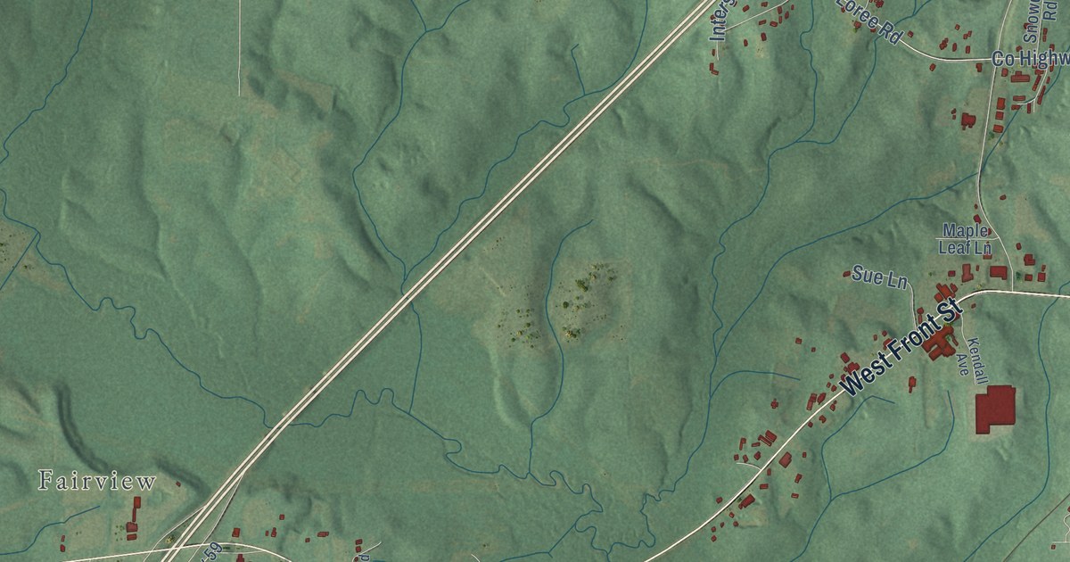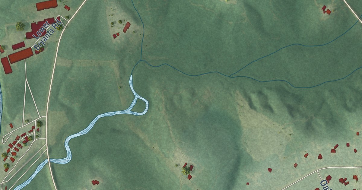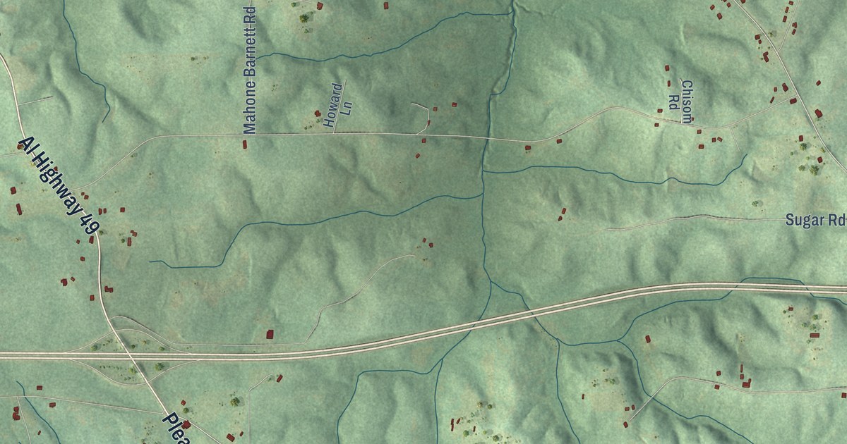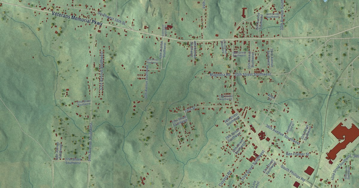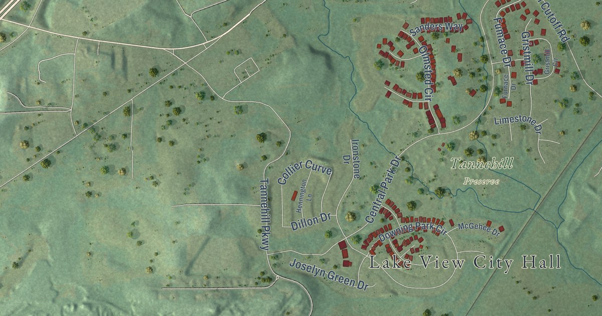
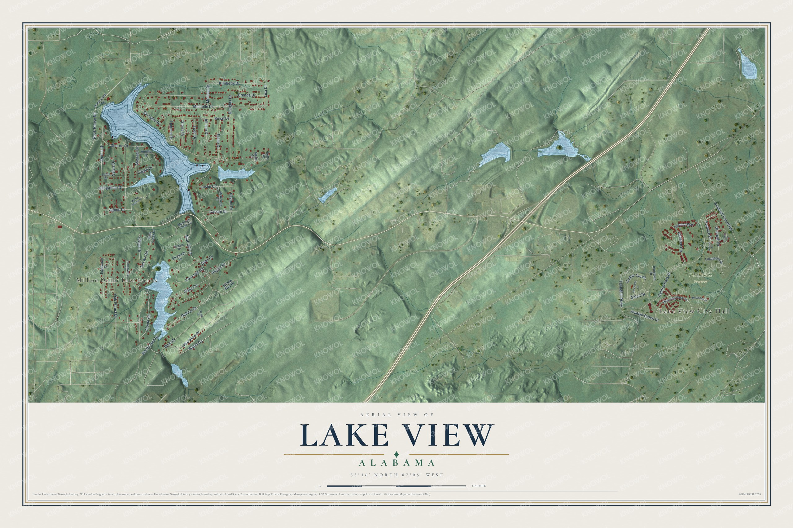
This beautifully detailed map of Lake View, Alabama was created in 2026 using aerial imagery combined with modern topographical, census, street and landmark data. It’s a one-of-a-kind view of Lake View that combines accurate data with a vintage aesthetic. The map shows every building in its true location, many of the roads carry their names, and the shaded topographic relief shows the shape of the land.
Explore an aerial view of Lake View, Alabama
On the map you’ll find Lake View City Hall, Million Dollar Lake Estates, and Tannehill Preserve, along with Michael Drive, Lake View Drive, Sierra Circle, Central Park Drive, Allison Drive, Tammie Drive, Michelle Drive, Brenda Drive, Alpine Circle, and more. If you look closely you can even find your house accurately drawn in its correct location. Zoom in on the preview to look for yours.
Did you know this about Lake View, Alabama?
From the Encyclopedia of Alabama: "Lake View is located five miles east of Tannehill Ironworks Historical State Park."
Take a closer look at the Lake View map
Street and place names on the Lake View, Alabama map
These names are printed on the map of Lake View, Alabama.
Places: Lake View City Hall, Million Dollar Lake Estates and Tannehill Preserve.
Streets and roads: Michael Drive, Lake View Drive, Sierra Circle, Central Park Drive, Allison Drive, Tammie Drive, Michelle Drive, Brenda Drive, Alpine Circle, Vicki Drive, Polly Circle, Blue Gill Lane.
More street names, A to Z
Agnes Drive, Amelia Drive, Bel Air Circle, Betty Circle, Carson Drive, Circle Drive, Collier Curve, Cora Lee Circle, Cottonwood Drive, Deer Circle, Delmar Drive, Dillon Drive, Donna Drive, Douglas Drive, Downing Park Circle, Eddie Drive, Edgewood Drive, Elizabeth Drive, Fumace Drive, Furnace Drive, Gloria Drive, Gristmill Circle, Gristmill Drive, Hennington Lane, Ironstone Drive, Jacqueline Drive, Joselyn Green Drive, Kimberly Drive, Kimbrell Cutoff Road, Leslie Drive, Limestone Drive, Linda Drive, Lisa Drive, Logan Drive, Martin Dell Drive, Marty Circle, McGehee Drive, McKenzie Drive, Melissa Drive, Mountain View Circle, Oak Forest Drive, Olmsted Circle, Peyton Drive, Phyllis Drive, Richard Drive, Rock Creek Drive, Rock House Road, Rockhouse Road, Royal Drive, Sanders Way, Scott Drive, Sharon Drive, Ski Lake Road, Sylvia Drive, Tannehill Parkway, Todd Drive, Willow Way Drive, Worthy Heights Drive.
See the Lake View, Alabama map on a wall
The Lake View map as an 18 x 24 inch print in a black frame.

This beautifully detailed map of Lake View makes an attractive addition to your office, library, or den, and it can even be used to teach children the geography and history of the area. It also makes a great gift for anyone with Lake View roots. When you’re done exploring, click here to get your copy of the Lake View map.