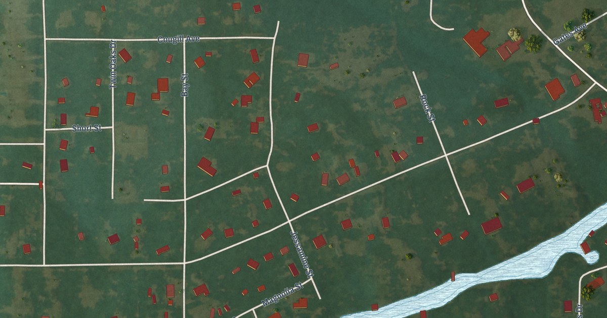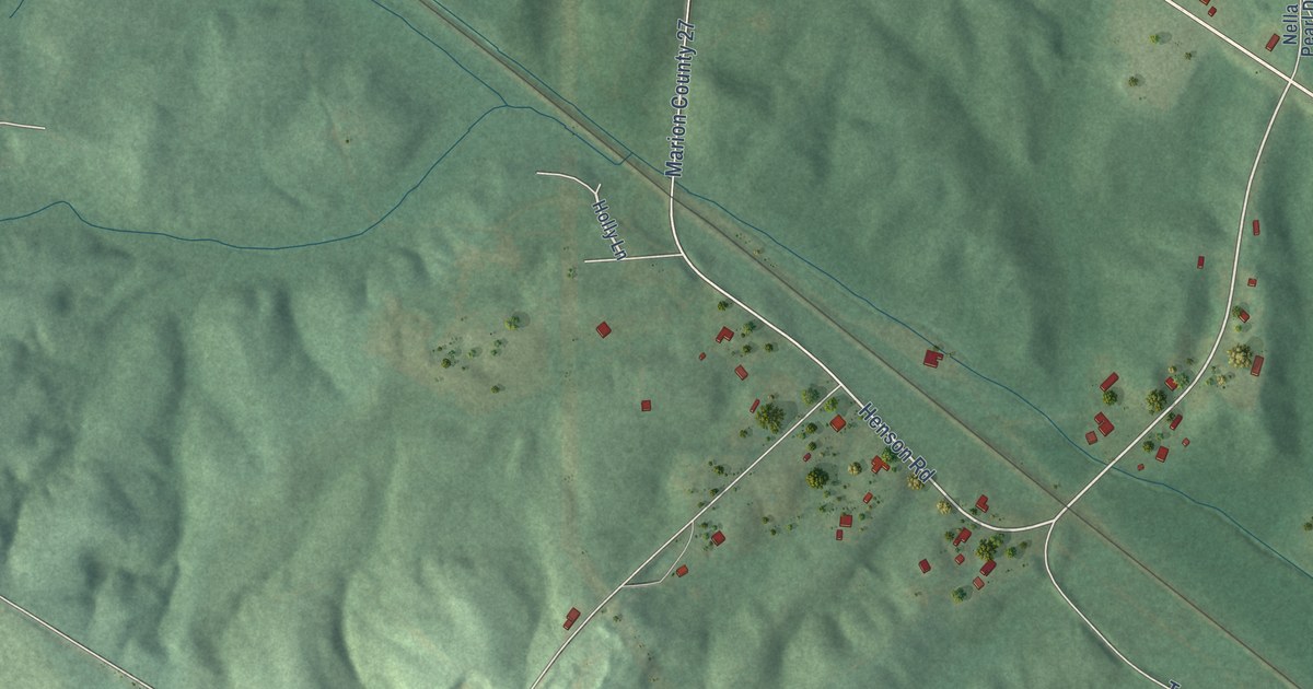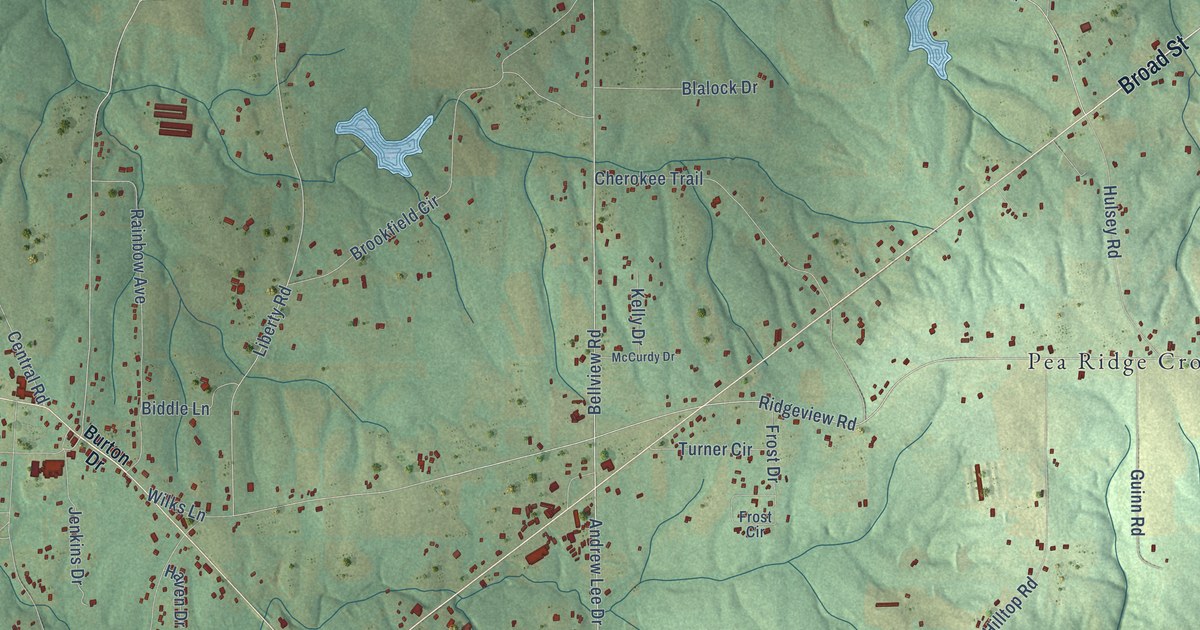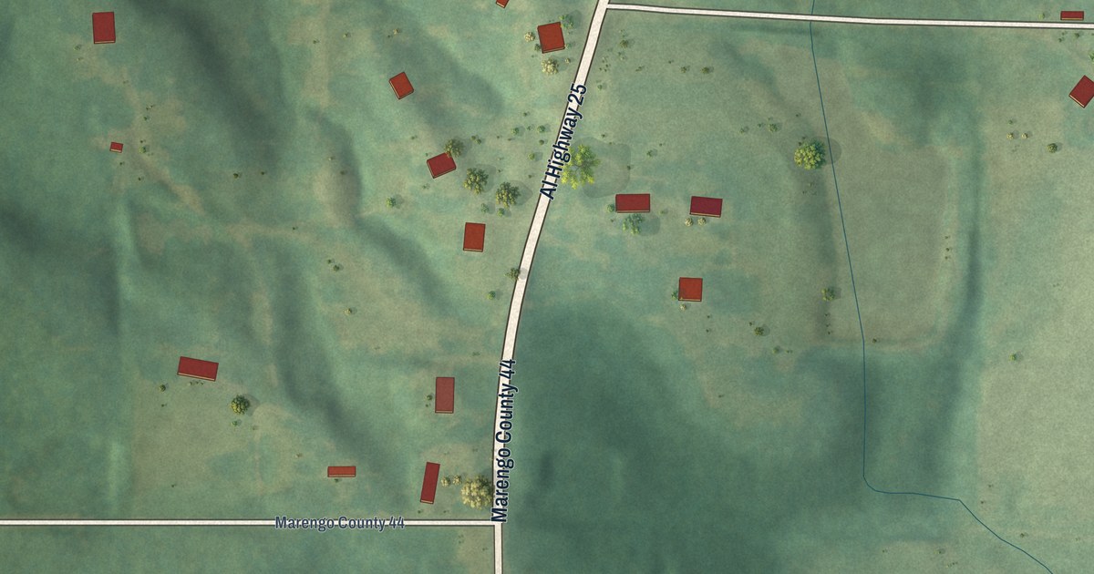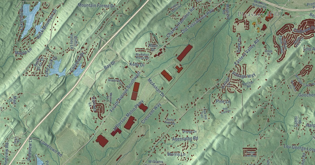
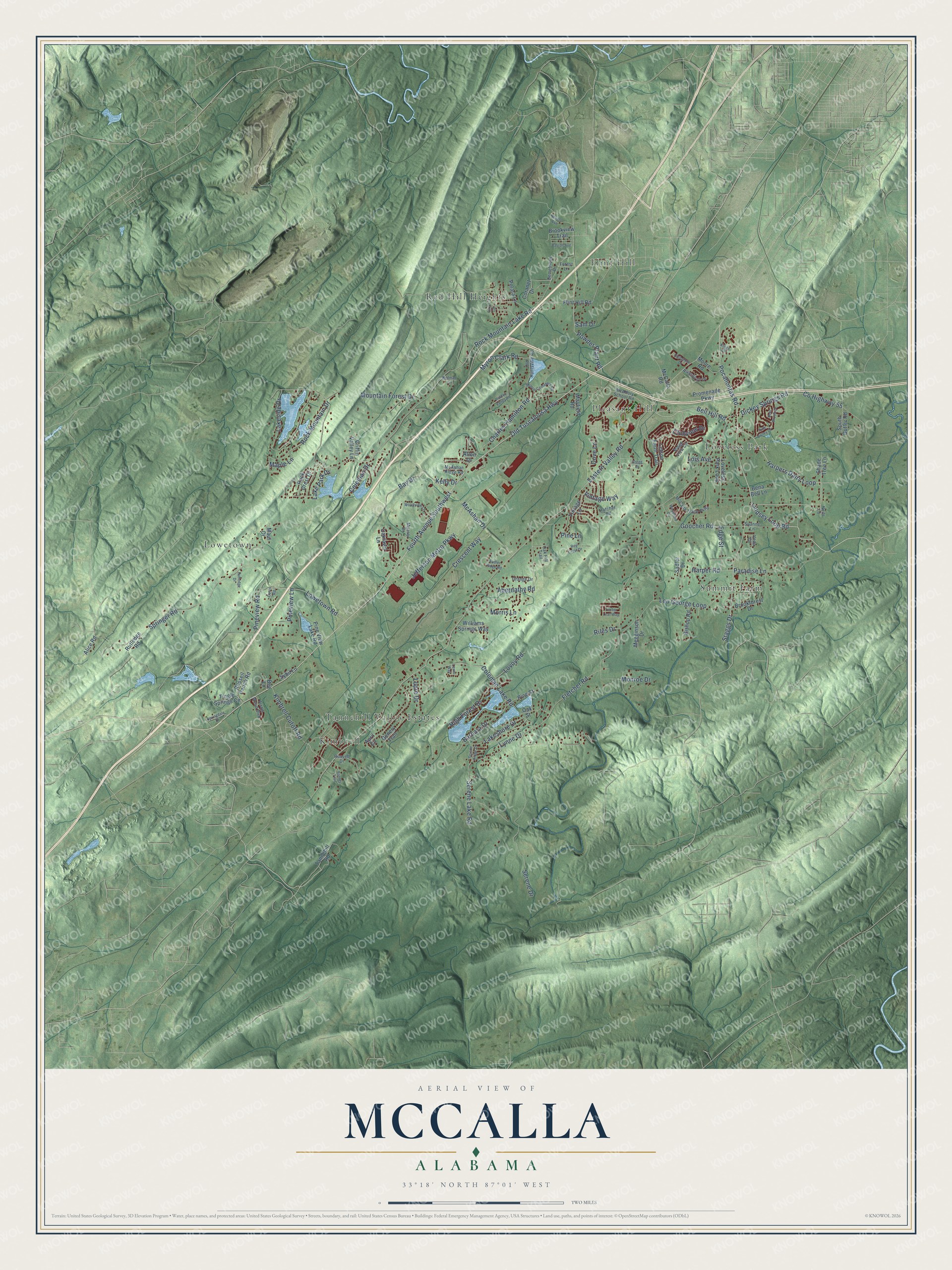
This beautifully detailed map of McCalla, Alabama was created in 2026 using aerial imagery combined with modern topographical, census, street and landmark data. It's a modern aerial view of McCalla in Jefferson County, Alabama, that combines modern data with a vintage aesthetic. The roads feature printed names, and if you look closely you can find your exact house accurately shown in its correct location.
Explore an aerial view of McCalla, Alabama
On this map you'll find Flint Hill, Kimbrell, Loveless Park, Lowetown, Pleasant Hill, Red Hill Heights, Summit Farm, Tannehill Valley Estates, Old Tuscaloosa Highway, Fourth Avenue Southwest, Pocahontas Road, Harpers Dairy Loop, and more. Each red shape is a building, so zoom in on the preview and look for yours.
Every town has a first chapter, and McCalla is no exception. The Encyclopedia of Alabama puts it this way: "The Sadler Family Pioneer Home, at 5262 Eastern Valley Road in McCalla, is the oldest home in the area and was built by John Loveless, a settler from South Carolina."
McCalla is a community in Jefferson County. The Census Bureau counted 12,965 people here in 2020.
Take a closer look at the McCalla map
Names on this map
These names are printed on this map.
Places: Flint Hill, Kimbrell, Loveless Park, Lowetown, Pleasant Hill, Red Hill Heights, Summit Farm and Tannehill Valley Estates.
Streets and roads: Old Tuscaloosa Highway, Fourth Avenue Southwest, Pocahontas Road, Harpers Dairy Loop, Bell Hill Road, Lindsey Loop Road, County Highway 55, Eastern Valley Road, Lou George Loop, Lakeside Drive, Rock Mountain Lake Road, Fletcher Road.
More street names, A to Z
Abernathy Road, Alice Road, Allen Drive, April Circle, Arrow Wood Boulevard, Barbara Drive, Barnes Trail, Barron Avenue, Bay Drive, Bee Lane, Bena Bell Lane, Bent Brook Drive, Bishop Road, Brookforest Drive, Brookview Trail, Charles Hamilton Road, Clubview Drive, Coleman Drive, Coleman Lake Road, Coranet Drive, Cove Lane, Crescent Way, Davis Road, Demetrious Drive, Dickey Springs Road, Edge Street, Flint Hill Road, Forest Lane, Fury Lane, Genery Trail, Goocher Road, Gregg Drive, Griffin Valley Lane, Harper Road, Hatcher Road, Hidden Valley Road, High Forest Drive, Highgrove Drive, Jefferson Metro Parkway, Kelly Drive, Kimbrell Cutoff Road, Kings Court, Lake Park Drive, Lakeshore Drive, Letson Farm Trail, Lewis Way, Lois Avenue, Loveless Park Loop, Lovoy Road, Lowetown Road, Lupre Drive, Lynne Drive, Maple Lane, Maul Drive, Mayfield Road, McAdory School Road, McAshan Drive, McAshan Ridge Road, McCalla Road, McCalla Trace Parkway, Megginson Drive, Monroe Drive, Moore Cemetery Road, Moore Drive, Moore Road, Morris Lane, Mountain Forest Drive, Myron Clark Road, Neils Lane, Nevels Avenue, Oak Hill Trail, Oaklawn Lane, Oak Street, Old Huntsville Road, Orange Drive, Paradise Lane, Pine Lane, Pine Street, Pine Valley Drive, Pine View Lake Road, Pineview Lane, Pineview Road, Polara Lane, Powder Plant Road, Promenade Parkway, Redman Lane, Ridge View Circle, Riles Drive, Riverbirch Drive, Rock Crest Drive, Rock Mountain Drive, Roy Crest Drive, Russell Drive, Russell Ranch Road, Rutledge Drive, Rutledge Road, Sadler Drive, Sadler Ridge Road, Sam Drive, Serene Drive, Serene Lake Road, Serene Ridge Drive, Shade Tree Lane, South Butler Road, Springdale Drive, Springer Road, Staggs Drive, Suanne Lane, Sybil Lane, Tannehill Road, Timber Leaf Way, Tingle Springs Circle, Veda Circle, Vintage Lane, Vintage Way, Williams Springs Way, Woodford Circle, Woodview Lane.
Created by KNOWOL in 2026. The buildings are small red shapes, the roads carry their printed names, and shaded relief shows the shape of the land. The title panel reads "AERIAL VIEW OF MCCALLA ALABAMA" with 33°18' NORTH 87°01' WEST.
Hang it in the hallway, the office or the cabin, or give it to someone who left McCalla and still calls it home. Open the preview and look for a street you know. See sizes and frames for the McCalla map.