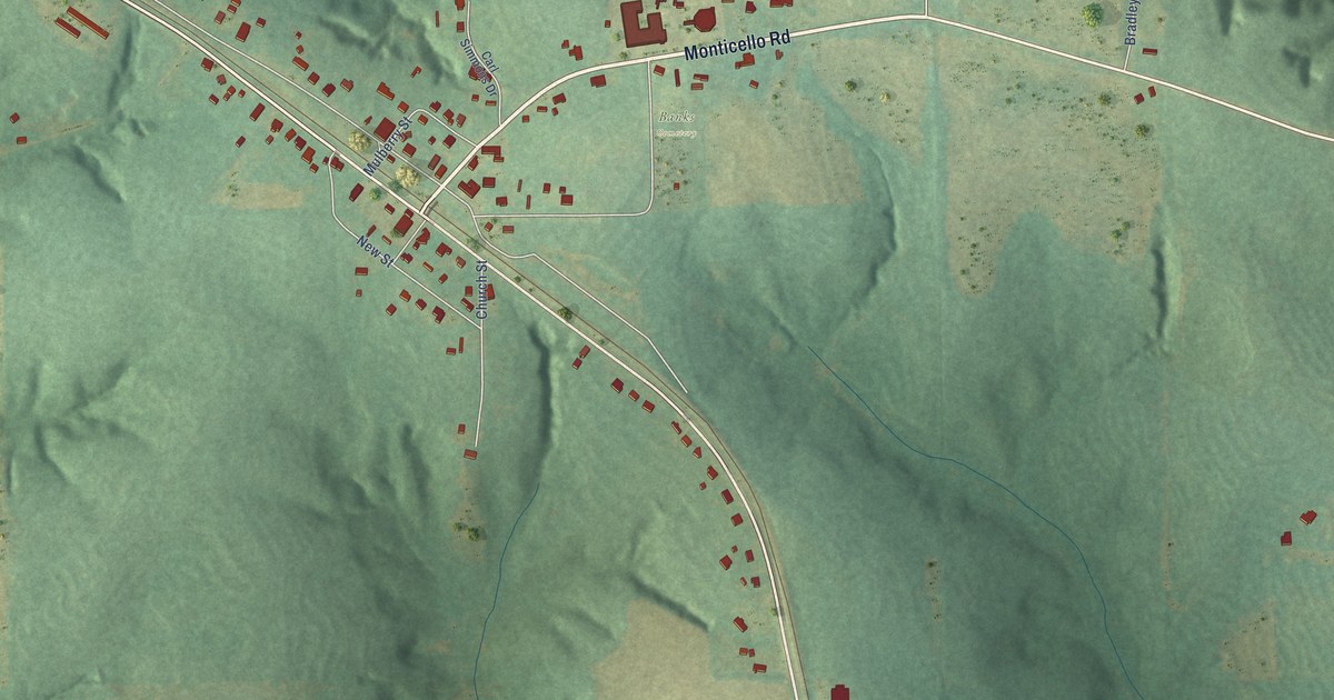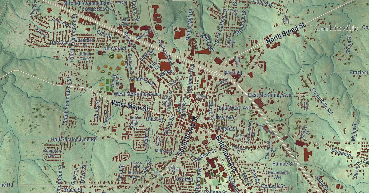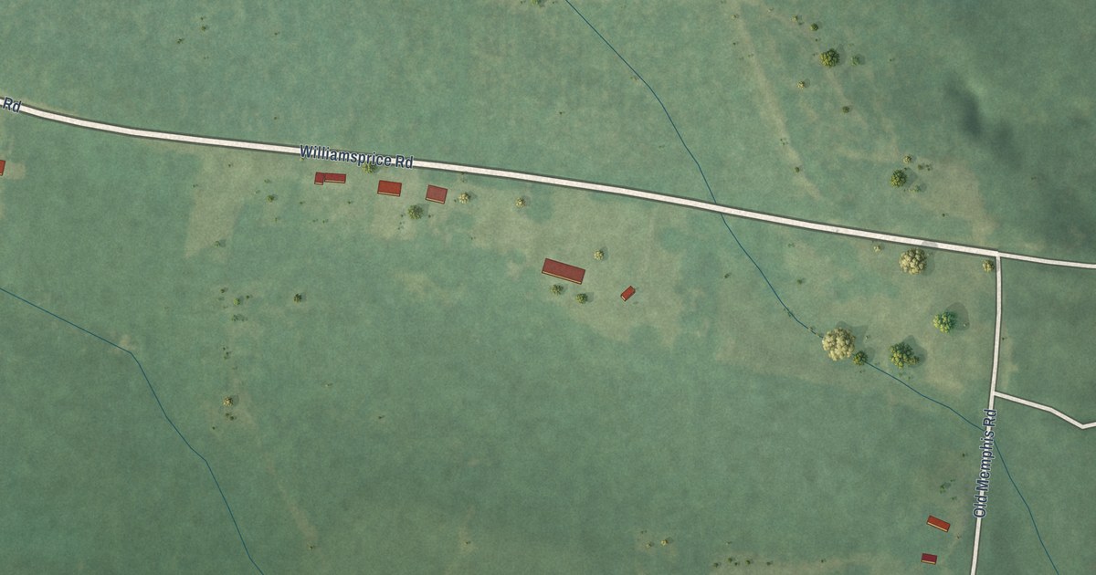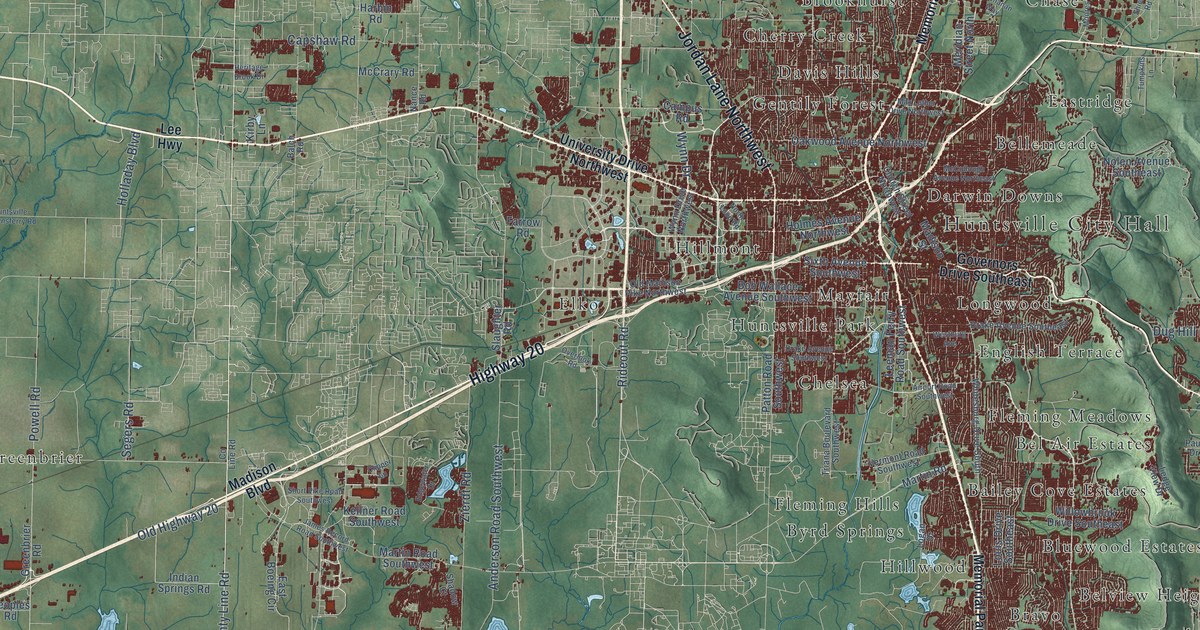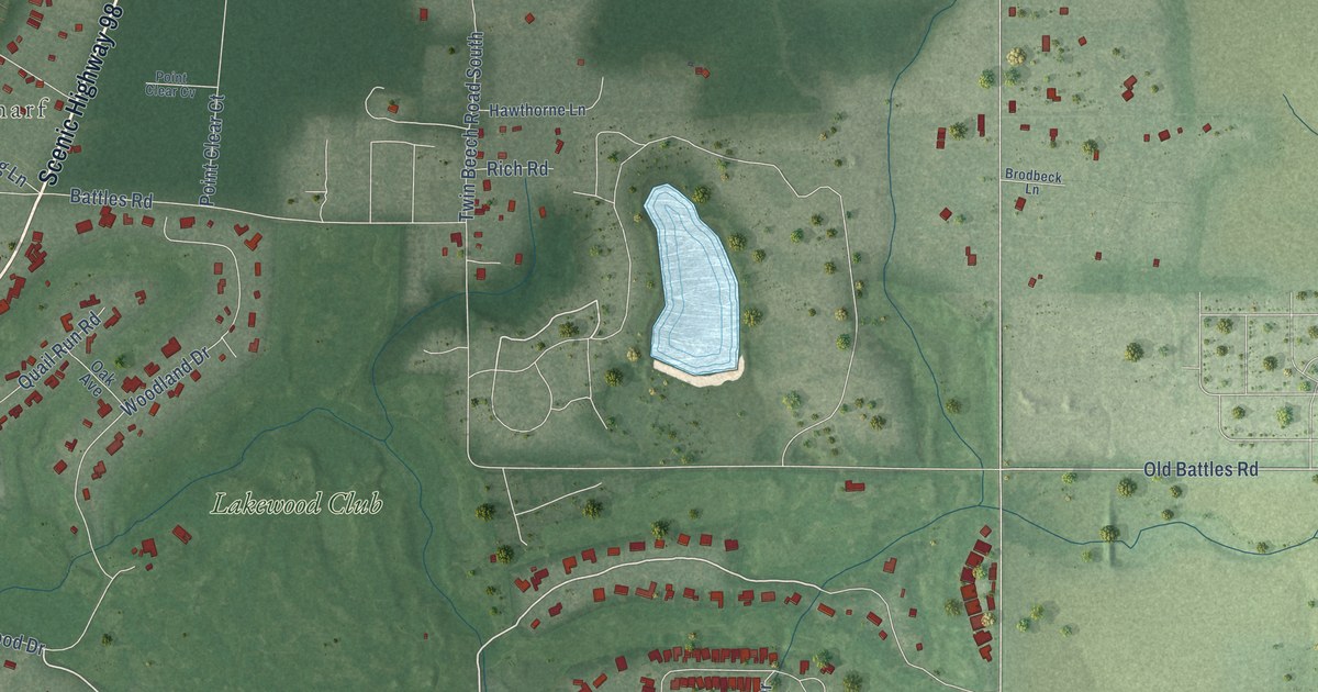
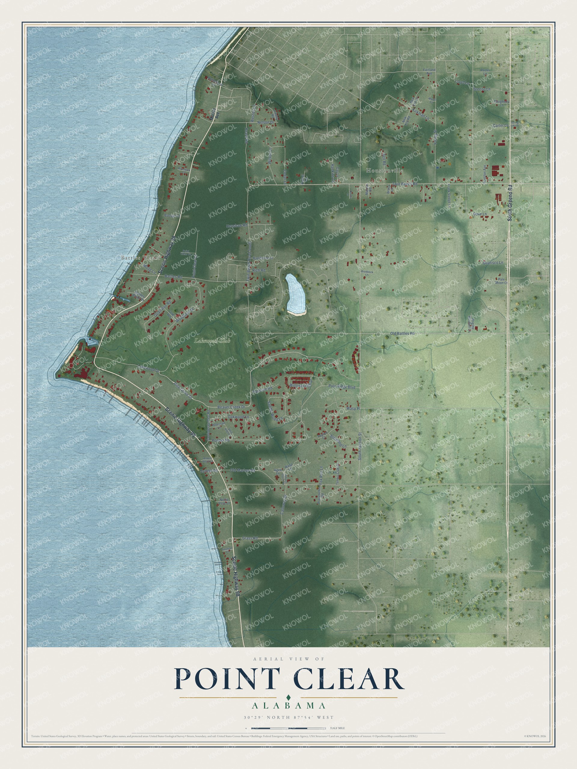
This beautifully detailed map of Point Clear, Alabama was created in 2026 using aerial imagery combined with modern topographical, census, street and landmark data. It's a modern aerial view of Point Clear in Baldwin County, Alabama, that combines modern data with a vintage aesthetic. The roads feature printed names, and if you look closely you can find your exact house accurately shown in its correct location.
Explore an aerial view of Point Clear, Alabama
On this map you'll find Battles Wharf, Houstonville, Lakewood Club, Scenic Highway 98, South Greeno Road, Grass Road, Beaver Creek Drive, Pine Grove Drive, Twin Beech Road, Old Battles Road, South Section Street, Battles Road, and more. Each red shape is a building, so zoom in on the preview and look for yours.
Point Clear is a community in Baldwin County. The Census Bureau counted 2,076 people here in 2020. Point Clear sits about 3 miles southwest of Fairhope, 10 miles south of Daphne and 10 miles northwest of Magnolia Springs. The map prints the town name in its title panel, with the coordinates below it.
Take a closer look at the Point Clear map
Names on this map
These names are printed on this map.
Places: Battles Wharf, Houstonville and Lakewood Club.
Streets and roads: Scenic Highway 98, South Greeno Road, Grass Road, Beaver Creek Drive, Pine Grove Drive, Twin Beech Road, Old Battles Road, South Section Street, Battles Road, Polo Ridge Boulevard, Woodland Drive, Young Street.
More street names, A to Z
Agee Lane, Antioch Church Road, Battles Wharf Drive, Bell Road, Bracy Lane, Brigitte Mitchell Lane, Brodbeck Lane, Buerger Lane, Calloway Drive, Carter Lane, Cedar Lane, Confederate Rest Road, Daugherty Lane, Day Lane, Denton Lane, Dove Lane, Fairland Avenue, Fox Run Lane, Frank Sledge Lane, Greeno Lane, Guarisco Lane, Hankins Lane, Hawthorne Lane, Heard Road, Henshaw Road, Houston Avenue, Kirkman Lane, Lakewood Drive, Liberty Road, Lloyd Lane, Malone Road, Marys Lane, Mobile Avenue, Moog Lane, Nellie Pose Lane, Nelson Drive, New Era Lane, New Era Road, Oak Avenue, Oakwood Lane, Old Marlow Road, Packer Lane, Pale Moon Court, Peterson Lane, Peyton Court, Point Clear Court, Point Clear Cv, Ponder Road, Porter Lane, Provencher Road, Quail Run Road, Raintree Road, Rich Road, Rivenbark Lane, Robert Doyle Lane, Rutherford Lane, Saddle Wood Lane, Southall Lane, Spring Lake Drive, Stillwood Lane, Tennis Club Drive, Twin Beech Road South, Vera Allen Lane, Wasp Lane, Wasp Place, Weston Lane, Willowbridge Drive, Wilson Lane, Zundel Road.
See it on a wall
The Point Clear map as a framed print. Swipe for more.


Created by KNOWOL in 2026. The buildings are small red shapes, the roads carry their printed names, and shaded relief shows the shape of the land. The title panel reads "AERIAL VIEW OF POINT CLEAR, ALABAMA" with 30°29' NORTH 87°54' WEST.
It looks right in a kitchen, an office or a den, and it's a gift for anyone who grew up in Point Clear or moved away. Open the preview and find your street. See sizes and frames for the Point Clear map.