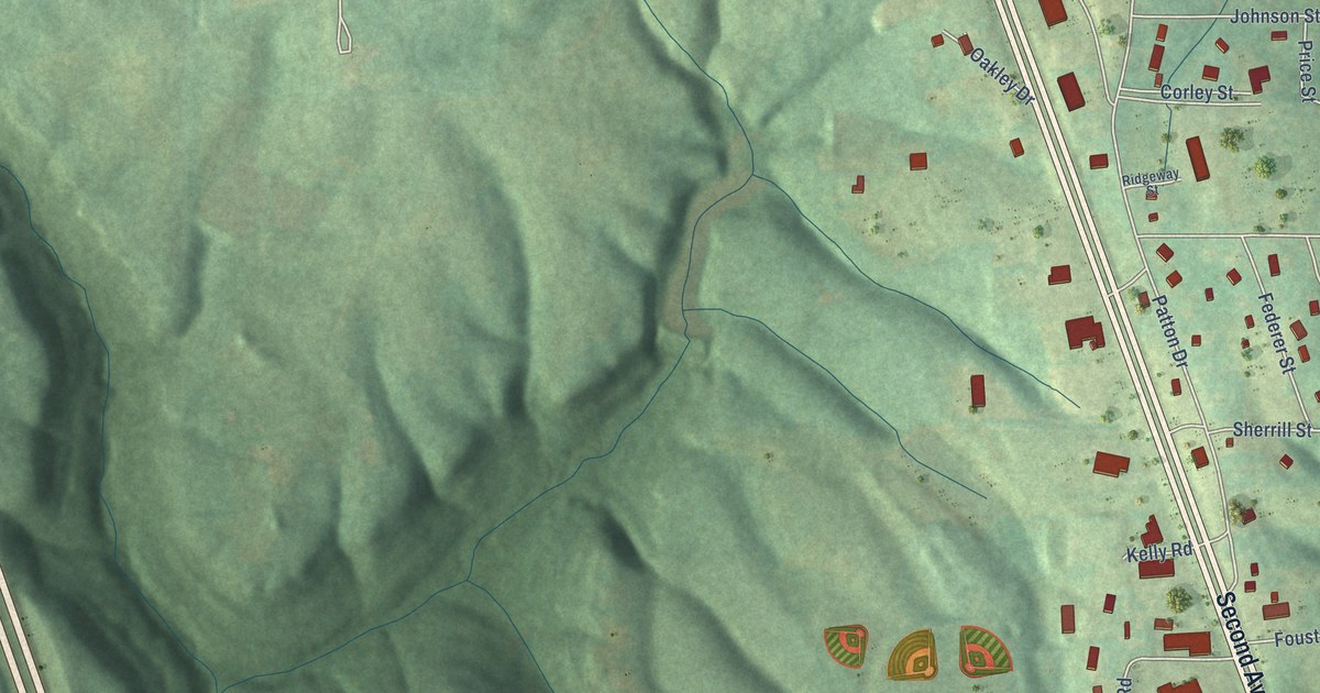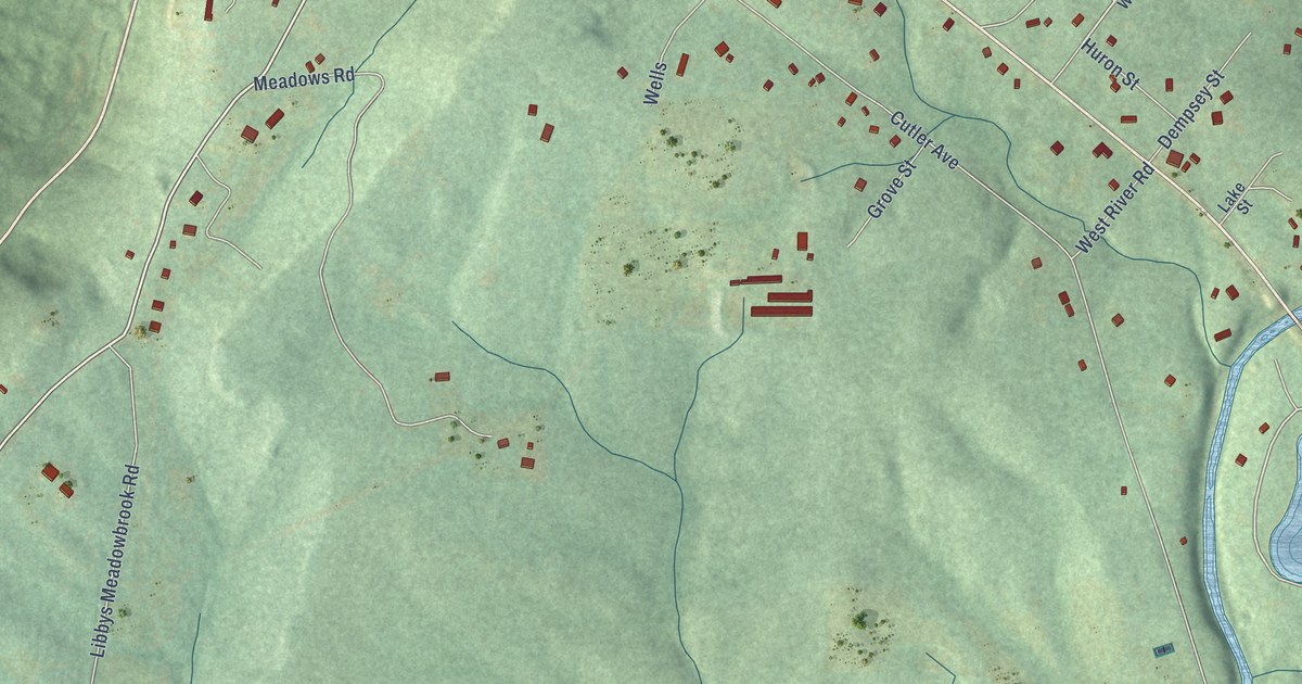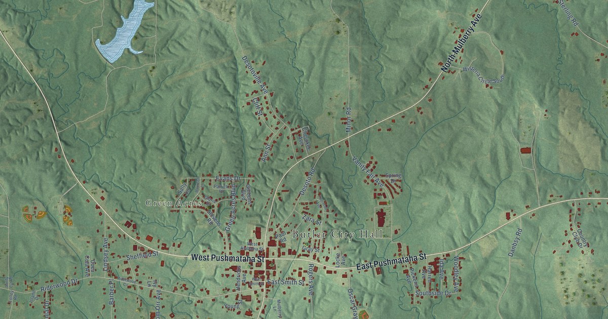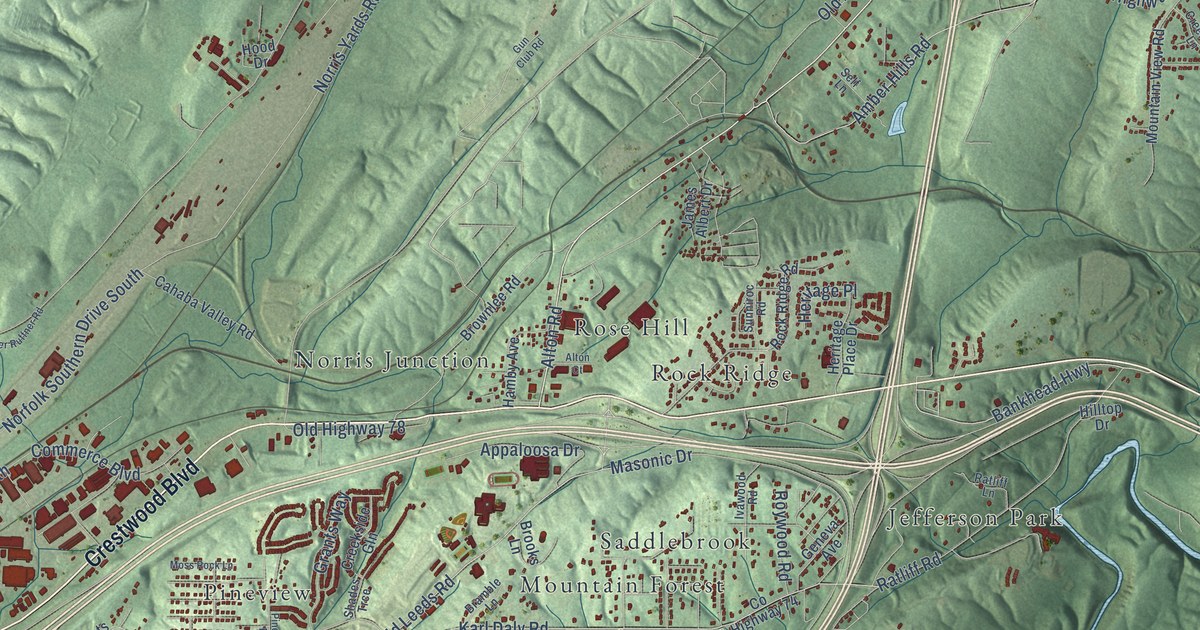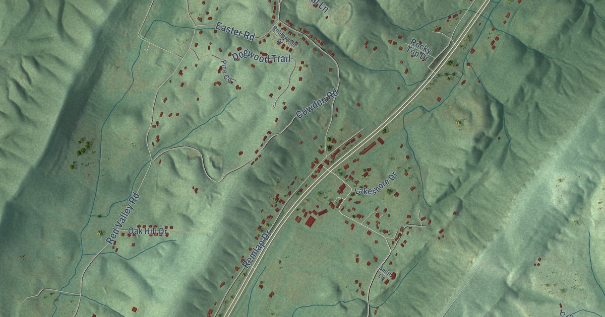
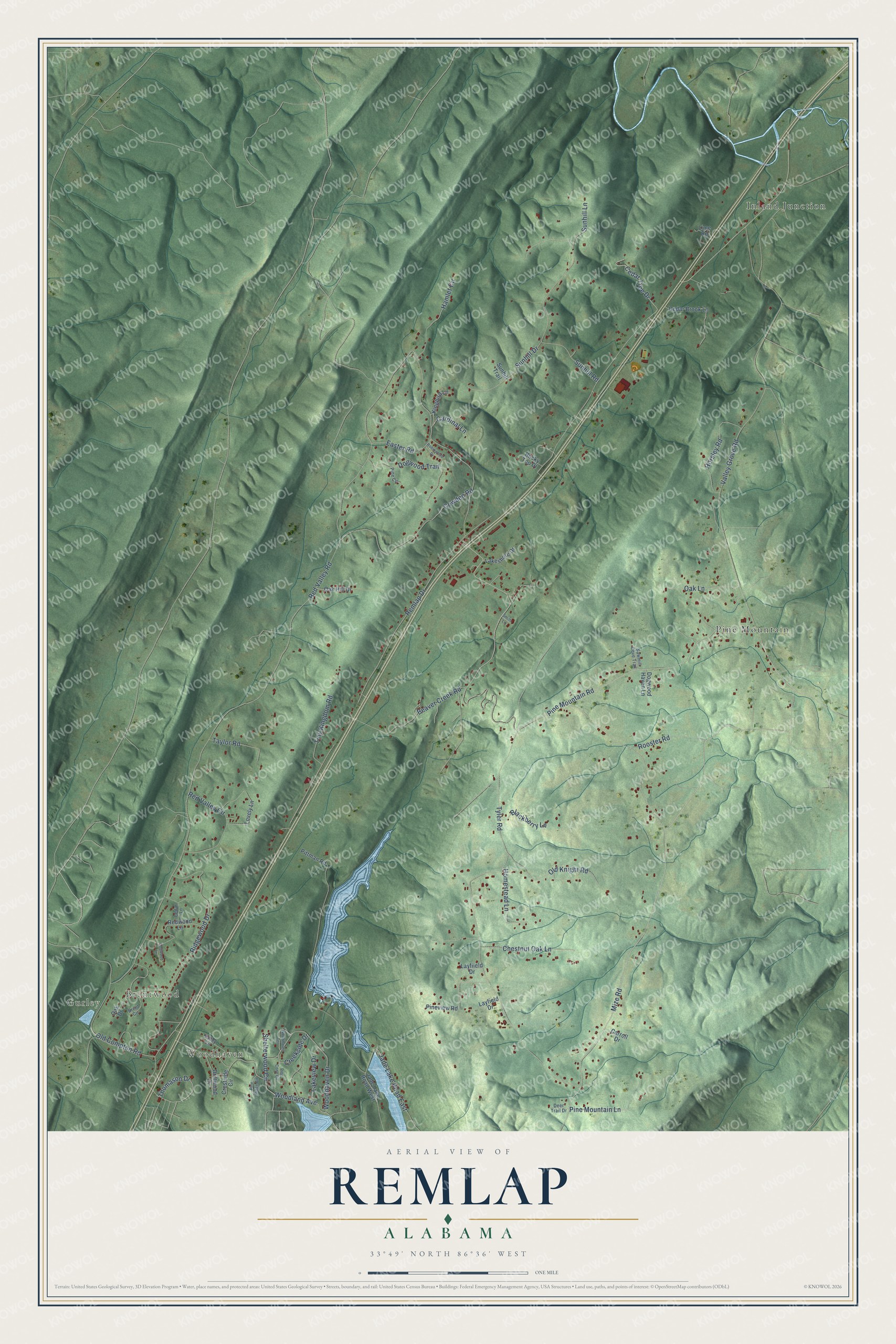
This beautifully detailed map of Remlap, Alabama was created in 2026 using aerial imagery combined with modern topographical, census, street and landmark data. It's a modern aerial view of Remlap in Blount County, Alabama, that combines modern data with a vintage aesthetic. The roads feature printed names, and if you look closely you can find your exact house accurately shown in its correct location.
Explore an aerial view of Remlap, Alabama
On this map you'll find Gurley, Woodhaven, Brentwood, Inland Junction, Pine Mountain, Mize Road, Pine Mountain Lane, Thomason Drive, Woodland Avenue, Jade Lake Road East, Red Valley Road, Remlap Drive, and more. Each red shape is a building, so zoom in on the preview and look for yours.
Here is a piece of Remlap history. Remlap's first postmaster, James W. Palmer, was appointed in 1882 and wanted to name the town for himself. His brother Perry had already founded Palmer in Jefferson County, so James gave the town their family name spelled backwards. That's from the Place Names in Alabama book.
Remlap is a community in Blount County. The Census Bureau counted 2,624 people here in 2020.
Take a closer look at the Remlap map
Names on this map
These names are printed on this map.
Places: Gurley, Woodhaven, Brentwood, Inland Junction and Pine Mountain.
Streets and roads: Mize Road, Pine Mountain Lane, Thomason Drive, Woodland Avenue, Jade Lake Road East, Red Valley Road, Remlap Drive, Pine Mountain Road, Tyler Road, Valley Grove Road, Ridgewood Drive, Sunhill Road.
More street names, A to Z
Beaver Creek Road, Blackberry Lane, Brent Circle, Cardinal Lane, Carroll Drive, Cedar Brook Lane, Cedar Lane, Cedar Tree Drive, Chestnut Oak Lane, Cowden Road, Creekside Drive, Crestside Circle, Deer Trail Drive, Dogwood Haven Lane, Dogwood Lane, Dogwood Trail, Driftwood Circle, Easter Road, Hamlet Circle, Homestead Lane, Horsley Road, Jade Lake Road West, Kingbird Lane, Lakeshore Drive, Lakeview Drive, Layfield Drive, Layfiield Drive, Lime Road, Lovely Lane, Oak Drive, Oak Hill Drive, Oak Lane, Old Compton Road, Old Knight Road, Pine Circle, Pine Cone Circle, Pine Ridge Circle, Pineview Road, Pittman Road, Red Valley Circle, Redwood Lane, Robinwood Drive, Rocky Top Drive, Rooster Road, Sawmill Cove Trail, Shelterwood Circle, Smith Lane, Sunhill Drive, Sunhill Lane, Sunhill Trail, Taylor Road, Tiny Kingdom Road, Valley Circle, Woodhaven Drive, Woodhaven Terrace.
See it on a wall
The Remlap map as a framed print. Swipe for more.


Created by KNOWOL in 2026. The buildings are small red shapes, the roads carry their printed names, and shaded relief shows the shape of the land. The title panel reads "AERIAL VIEW OF REMLAP, ALABAMA" with 33°49' NORTH 86°36' WEST.
It suits a den, a classroom or a front hall, and it makes a gift for anyone with Remlap roots. Open the preview and find the block you know. See sizes and frames for the Remlap map.