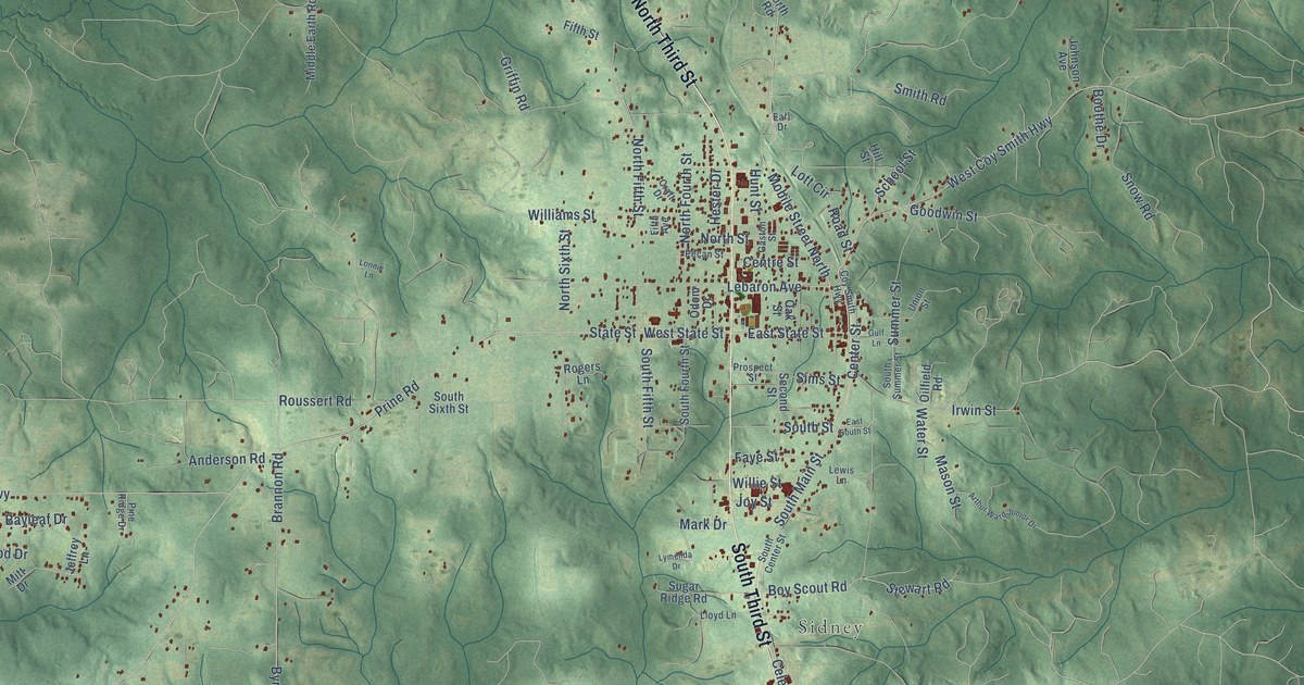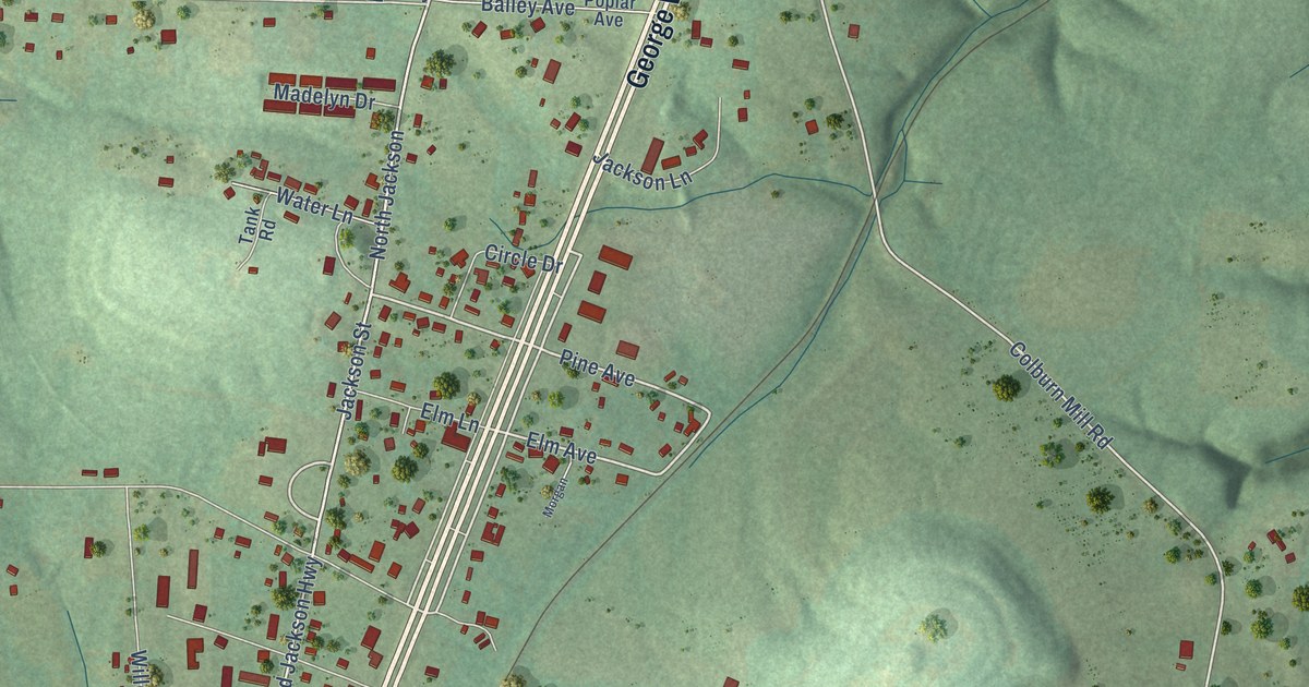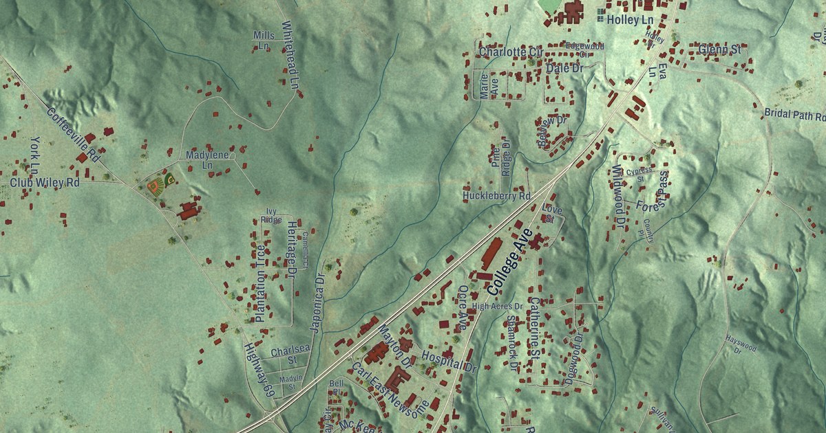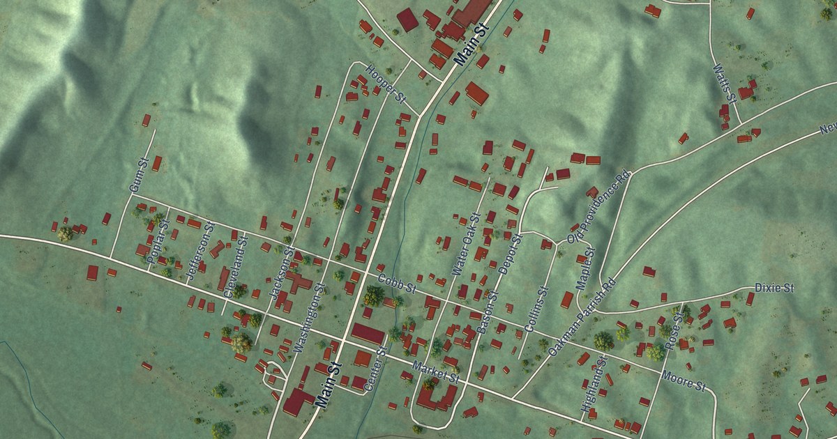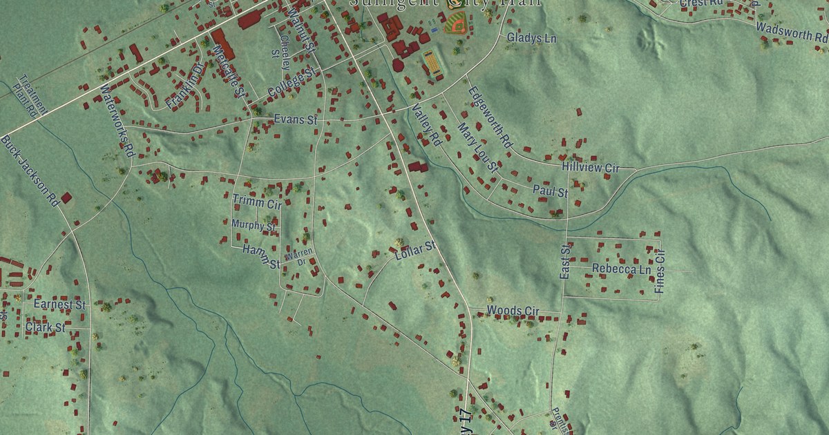
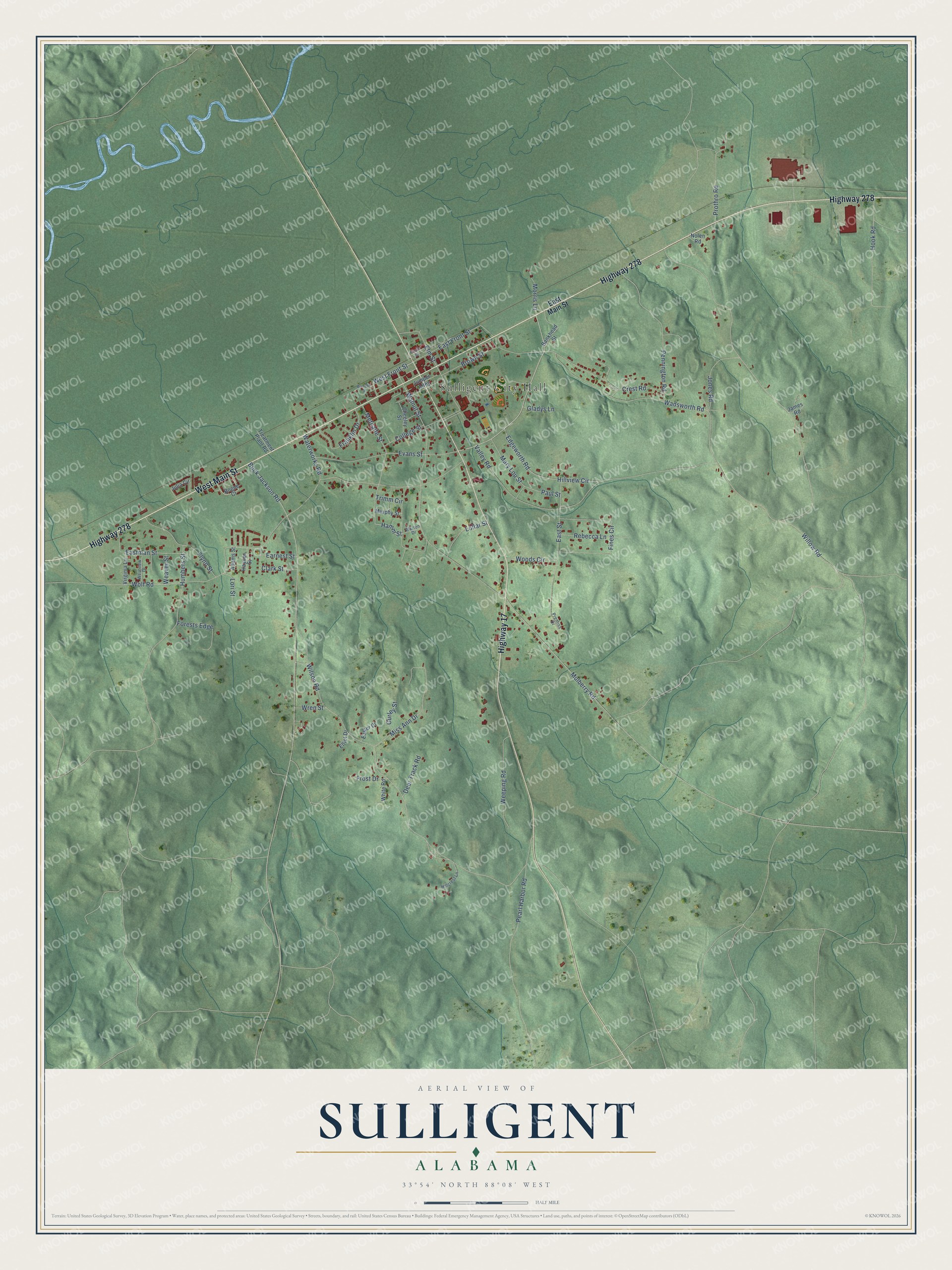
This beautifully detailed map of Sulligent, Alabama was created in 2026 using aerial imagery combined with modern topographical, census, street and landmark data. It's a modern aerial view of Sulligent in Lamar County, Alabama, that combines modern data with a vintage aesthetic. The roads feature printed names, and if you look closely you can find your exact house accurately shown in its correct location.
Explore an aerial view of Sulligent, Alabama
On this map you'll find Sulligent City Hall, Highway 278, Highway 17, West Main Street, Wolf Road, West Front Street, Hamm Street, Wadsworth Road, Wilson Road, Brown Street, Valley Road, Walnut Street, and more. Each red shape is a building, so zoom in on the preview and look for yours.
Sulligent has a story worth telling. The record at encyclopediaofalabama.org puts it this way: "Moore-Hill House The earliest settlers in the area that now encompasses Sulligent built homes not far from a portion of the Andrew Jackson's Military Road , constructed after the Creek War of 1813-14 to facilitate travel across the northern region of the state."
Sulligent is a town in Lamar County. The Census Bureau counted 1,879 people here in 2020.
Take a closer look at the Sulligent map
Names on this map
These names are printed on this map.
Places: Sulligent City Hall.
Streets and roads: Highway 278, Highway 17, West Main Street, Wolf Road, West Front Street, Hamm Street, Wadsworth Road, Wilson Road, Brown Street, Valley Road, Walnut Street, Buck Jackson Road.
More street names, A to Z
Adams Street, Bankhead Street, Bogue Court, Cheeley Street, Clark Street, College Street, Crest Road, Deer Track Road, Earnest Street, Easter Drive, East Front Street, East Main Street, Eastman Street, East Street, Edgeworth Road, Elliot Drive, Elm Street, Evans Street, Fines Circle, Flynn Street, Forests Edge, Franklin Drive, Frisco Street, Frost Drive, Gladys Lane, Gurley Street, Haynes Street, Hillcrest Lane, Hillview Circle, Hook Road, Humbers Street, James Road, Jones Road, Julia Circle, Jumper Alley, Lollar Street, Lori Street, Maddox Street, Mary Lou Street, Metcalfe Street, Miss Ann Drive, Morris Lane, Mulberry Road, Murphy Street, Nolen Road, Paul Street, Pearl Harbor Road, Pennington Road, Prentiss Drive, Prothro Road, Rebecca Lane, Treatment Plant Road, Trimm Circle, Virginia Lane, Warren Drive, Waterworks Road, Weaver Street, Weeping Road, Westview Drive, White Road, Willow Road, Woods Circle, Wren Street.
Created by KNOWOL in 2026. The buildings are small red shapes, the roads carry their printed names, and shaded relief shows the shape of the land. The title panel reads "AERIAL VIEW OF SULLIGENT ALABAMA" with 33°54' NORTH 88°08' WEST.
It looks right in a kitchen, an office or a den, and it's a gift for anyone who grew up in Sulligent or moved away. Open the preview and find your street. See sizes and frames for the Sulligent map.