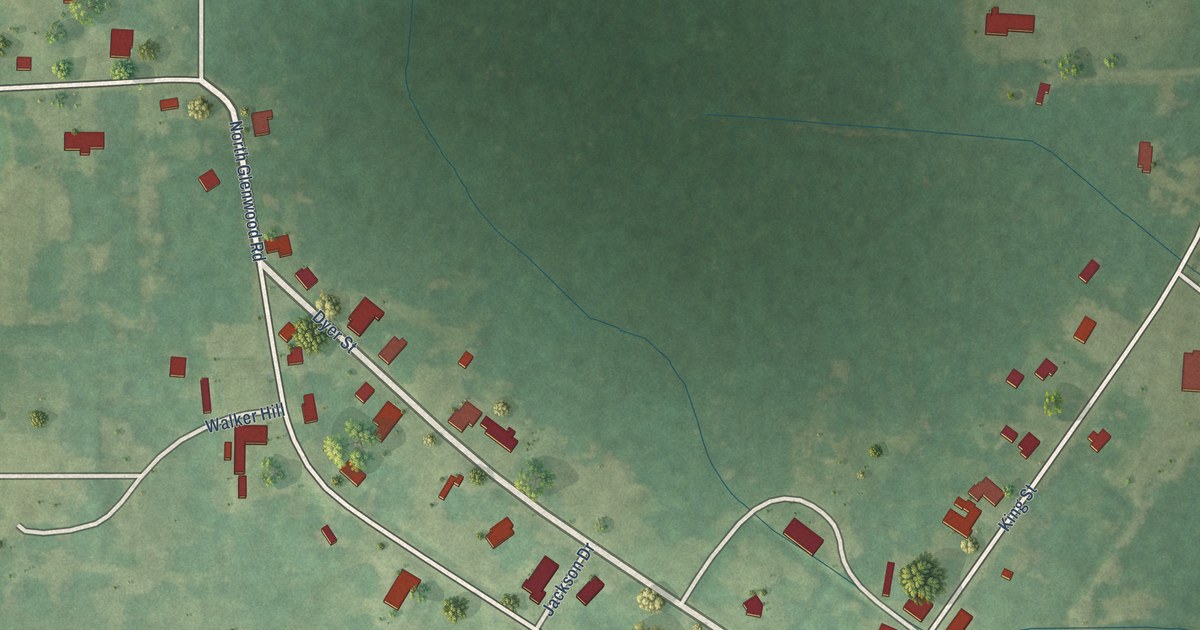
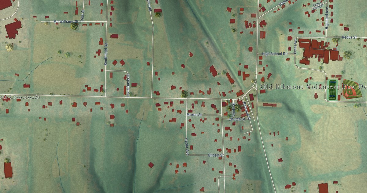
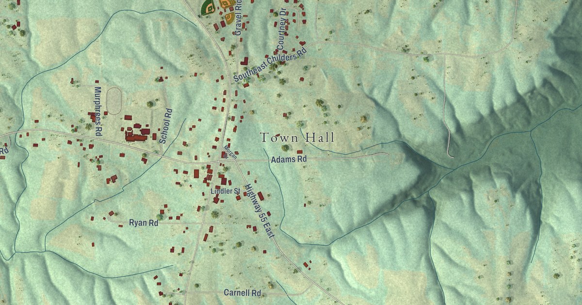
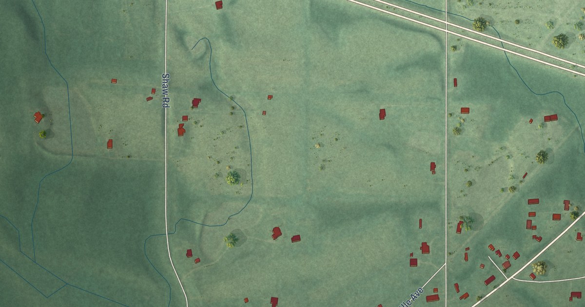
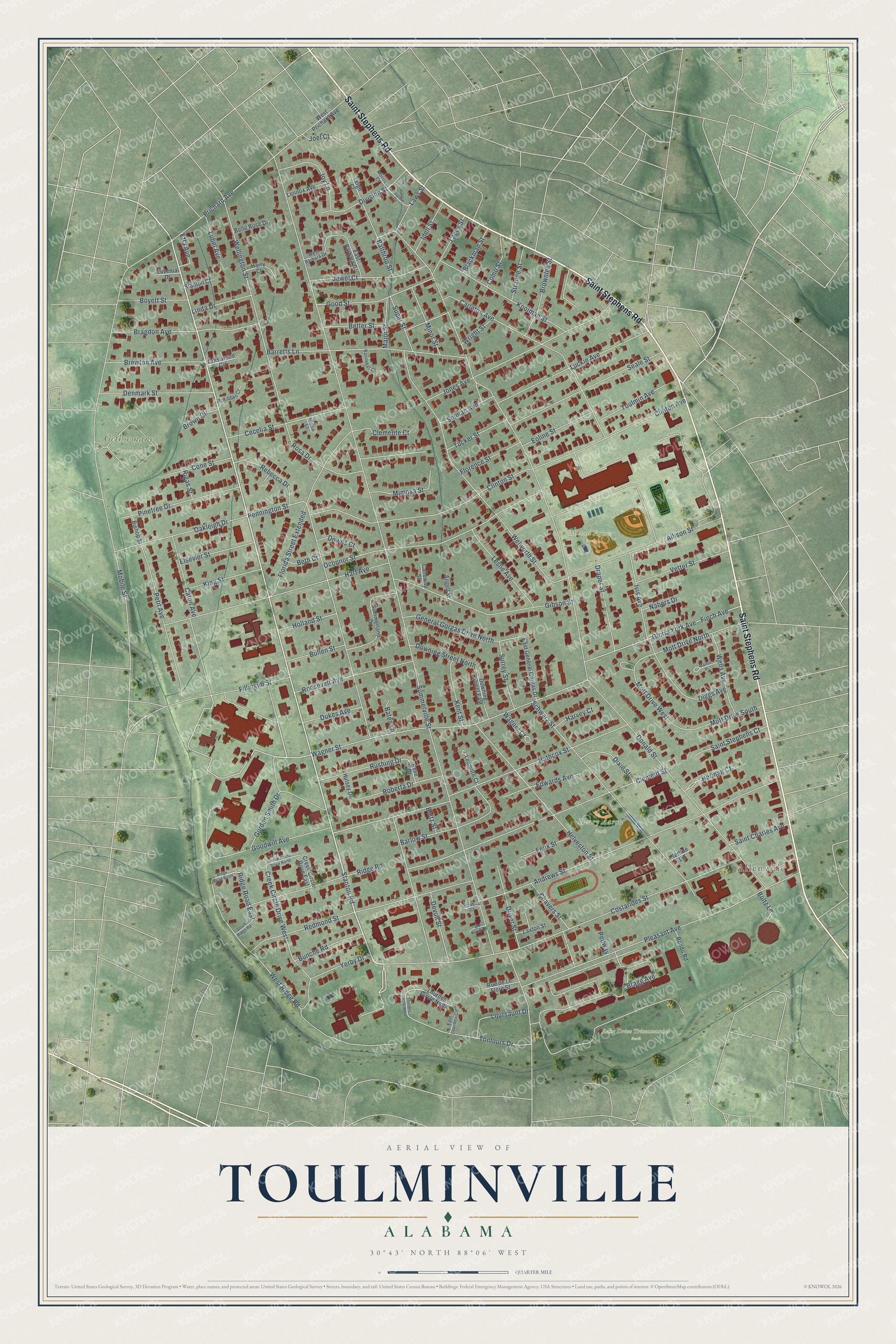
This beautifully detailed map of Toulminville, Alabama was created in 2026 using aerial imagery combined with modern topographical, census, street and landmark data. It's a modern aerial view of Toulminville in Mobile County, Alabama, that combines modern data with a vintage aesthetic. The roads feature printed names, and if you look closely you can find your exact house accurately shown in its correct location.
Explore an aerial view of Toulminville, Alabama
On this map you'll find Allenville, Gethsemane Cemetery, Lake Drive Tricentennial Park, Michael Figures Park, Henry Aaron Park, Saint Stephens Road, Stanton Road, Ridge Road East, Pennington Street, Summerville Street, Donald Street, Wellington Street, and more. Each red shape is a building, so zoom in on the preview and look for yours.
Toulminville has a story worth telling. The Flotte’s Notes puts it this way: "An 1861 map has towns labeled for Mobile, Toulminville, Whistler, Kushla, Belle Air (along the Mobile and Ohio Railroad), and on the eastern shore, Stockton, Alabama City, and Williamsburg."
Toulminville is a place in Mobile County.
Take a closer look at the Toulminville map
Names on this map
These names are printed on this map.
Places: Allenville, Gethsemane Cemetery, Lake Drive Tricentennial Park, Michael Figures Park and Henry Aaron Park.
Streets and roads: Saint Stephens Road, Stanton Road, Ridge Road East, Pennington Street, Summerville Street, Donald Street, Wellington Street, Costarides Street, Andrews Street, Hathcox Street, Pleasant Avenue, Wagner Street.
More street names, A to Z
Allison Street, Angell Street, Balthrop Street, Banneker Court, Barlow Street, Barretts Lane, Bates Lane, Belle Rose Drive, Beth Drive, Better Street, Bishop Street, Blackman Street, Boltz Lane, Boltz Street, Boyett Street, Bragdon Avenue, Bragg Avenue, Brewton Avenue, Brown Circle, Brownlee Street, Bullen Street, Bunche Road, Calloway Street, Carleton Avenue, Caton Avenue, Cecelia Street, Chavers Street, Clemente Court, Clement Street, Clinton Avenue, Clinton Street, Como Street, Cone Street, Creek Circle Drive East, Creek Circle Drive North, Creek Circle Drive West, Crestwood Circle, De Kruif Court, Denmark Street, Devon Street, Diggs Avenue, Division Street, Dixie Street, Downing Street East, Downing Street North, Downs Court, Draper Street, Driver Street, Dukes Avenue, East Barbara Drive, East General Gorgas Drive, East Lourdes Circle, Edwards Avenue, Elsevier Street, Eoline Street, Etta Avenue, Felix Street, Fillingim Street, Finch Avenue, Florence Street, Florida Street Extended, General Gorgas Drive North, Gibson Street, Gloria York Avenue, Good Street, Goodwill Avenue, Gordon Smith Drive, Harry Court, Hart Avenue, Harvey Court, Helveston Street, Herman Court, Holland Street, Hulsey Drive, Idell Street, Ivis Avenue, Jewel Court, Joel Court, Jones Avenue, Joy Lane, Kent Street, King Street, Kooiman Street, Lacey Street, Laws Street, Laxton Street, Leamore Court, Leigh Court, Lennox Avenue, Leslie Avenue, Linda Drive, Lourdes Circle North, Lourdes Circle West, Loursaunt Drive, Lubel Avenue, Luckie Avenue, Luvenia Drive, Major Street, Martin Place, McKibben Court, Mimosa Street, Minor Street, Mobile Street, Mollie Court, Morris Court, Mott Drive North, Mott Drive South, Mott Drive West, Nabers Drive, Nerline Lane, Oakleigh Drive, Oconnor Street, Pedway, Petit Avenue, Pinetree Drive, Prichard Avenue, Rebecca Drive, Redmond Street, Reve Drive, Ridge Road, Ridge Road North, Rigas Street, Roberta Drive, Rondo Road, Roosevelt Avenue, Rosa Drive, Rue de Le Flore Street, Rushing Drive, Saint Charles Avenue, Saint Stephens Court, Schwarz Street, Seale Street, Selman Avenue, South Ridge Road, Stanton Court, Stevens Court, Strange Street, Summerland Drive, Super Street, Surrey Street, Tonlours Drive, Toulmin Avenue, Toulmin Court, Tucker Street, Vetter Street, Wagner Court, Wells Avenue, Welworth Street, West Barbara Drive, West Prichard Avenue, West Ridge Road, Wright Street, Yerby Drive.
Created by KNOWOL in 2026. The buildings are small red shapes, the roads carry their printed names, and shaded relief shows the shape of the land. The title panel reads "AERIAL VIEW OF TOULMINVILLE ALABAMA" with 30°43' NORTH 88°06' WEST.
It looks right in a kitchen, an office or a den, and it's a gift for anyone who grew up in Toulminville or moved away. Open the preview and find your street. See sizes and frames for the Toulminville map.