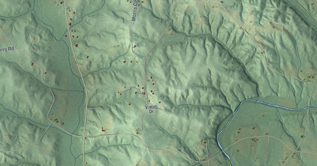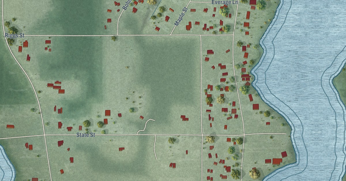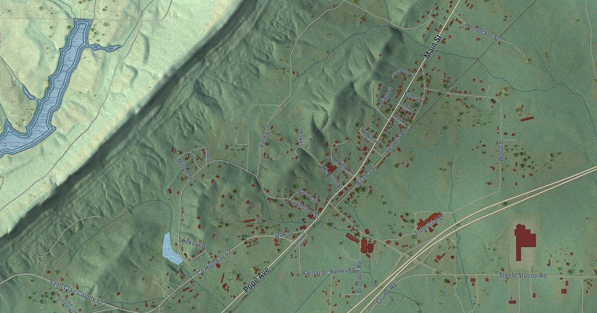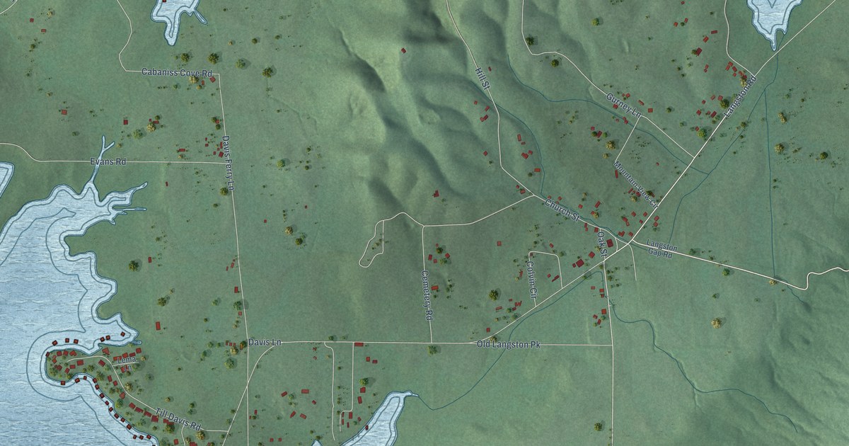
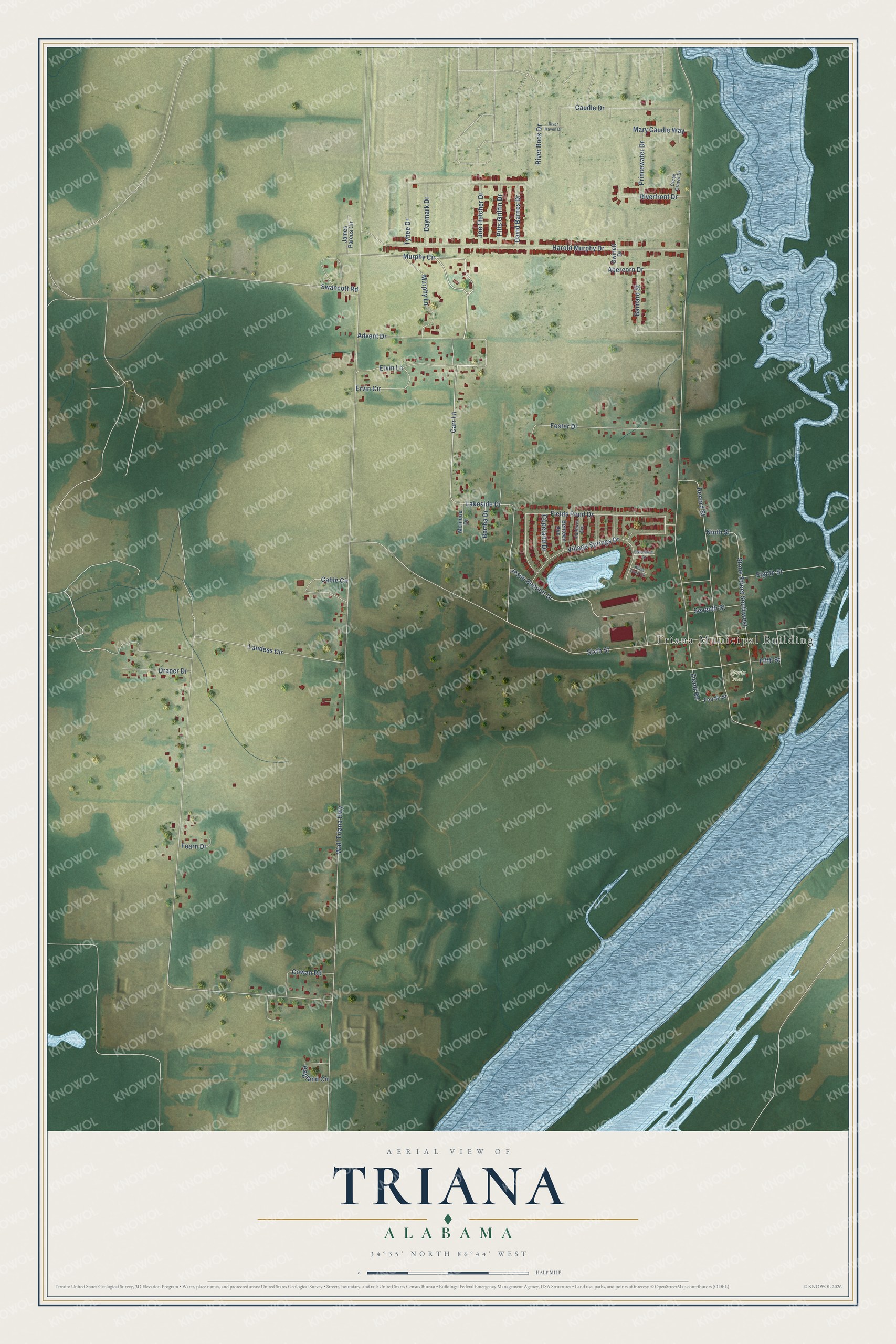
This beautifully detailed map of Triana, Alabama was created in 2026 using aerial imagery combined with modern topographical, census, street and landmark data. It's a modern aerial view of Triana in Madison County, Alabama, that combines modern data with a vintage aesthetic. The roads feature printed names, and if you look closely you can find your exact house accurately shown in its correct location.
Explore an aerial view of Triana, Alabama
On this map you'll find Triana Municipal Building, Sports Field, Murphy Circle, Carr Lane, Lakeside Drive, Wall Triana Highway, Landess Circle, Zierdt Road, Harold Murphy Drive, Sixth Street, Record Street, Fields Pond Drive, and more. Each red shape is a building, so zoom in on the preview and look for yours.
Triana has a story worth telling. The record at encyclopediaofalabama.org puts it this way: "The stone Warden's Residence in the town's park was built in 1941 by the Civilian Conservation Corps as a home for the warden of Wheeler National Wildlife Refuge."
Triana is a city in Madison County. The Census Bureau counted 2,890 people here in 2020.
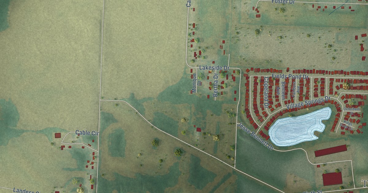
Take a closer look at the Triana map
Names on this map
These names are printed on this map.
Places: Triana Municipal Building and Sports Field.
Streets and roads: Murphy Circle, Carr Lane, Lakeside Drive, Wall Triana Highway, Landess Circle, Zierdt Road, Harold Murphy Drive, Sixth Street, Record Street, Fields Pond Drive, Jesse Bennett Drive, Caudle Drive.
More street names, A to Z
Abercorn Drive, Advent Drive, Barnard Street, Benteen Avenue, Bertha Drive, Cable Circle, Copeland Drive, Cowan Road, Creek Gravel Drive, David Barnes Drive, Daymark Drive, Draper Drive, Eighth Street, Ervin Circle, Ervin Lane, Fairburn Avenue, Fearn Drive, Fifth Street, Foster Drive, Fourth Street, Gwinett Drive, James Parcus Circle, Joe Fletcher Drive, Kings Cove Circle, Mary Caudle Way, Monique Drive, Murphy Lane, Ninth Street, Oxfordwill Court, Pitts Griffin Drive, Princewater Drive, Ragland Circle, Riverfront Drive, River Haven Drive, River Rock Drive, Seventh Street, Stone Street Southwest, Swancott Road, Tybee Drive, Village Springs Drive.
Created by KNOWOL in 2026. The buildings are small red shapes, the roads carry their printed names, and shaded relief shows the shape of the land. The title panel reads "AERIAL VIEW OF TRIANA ALABAMA" with 34°35' NORTH 86°44' WEST.
It looks right in a kitchen, an office or a den, and it's a gift for anyone who grew up in Triana or moved away. Open the preview and find your street. See sizes and frames for the Triana map.