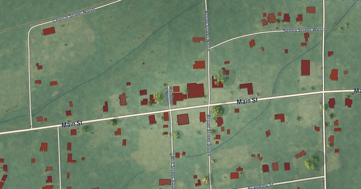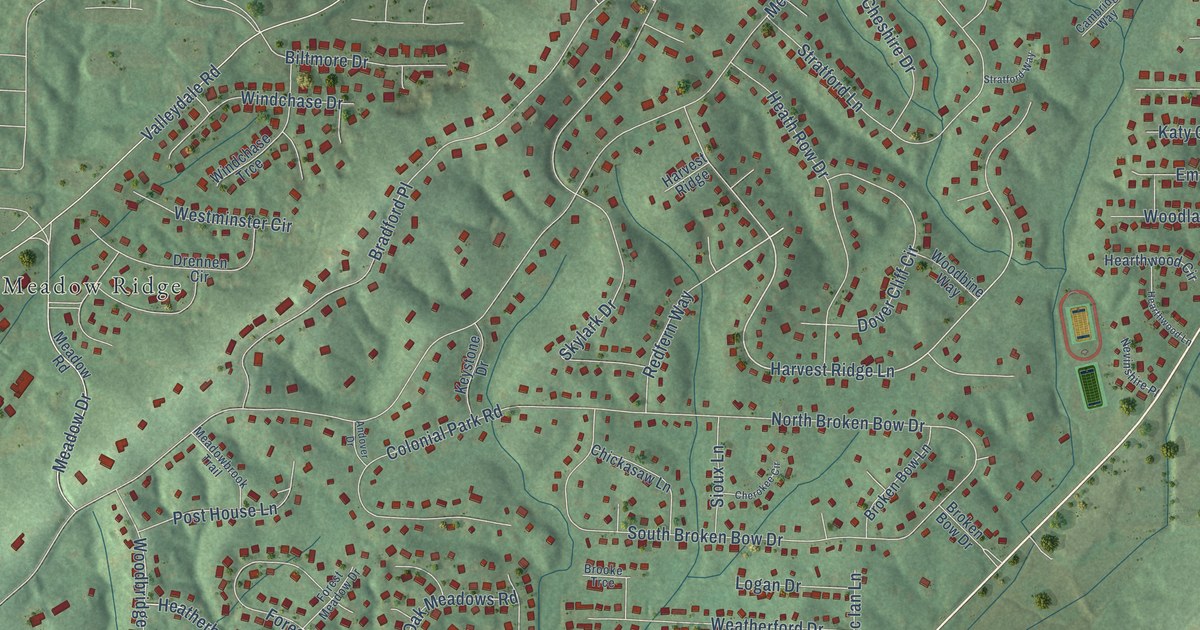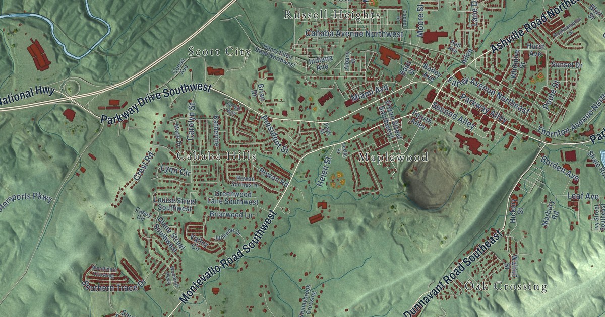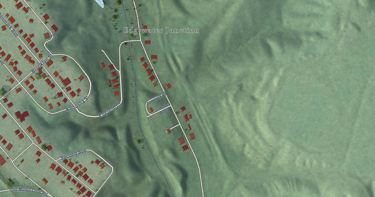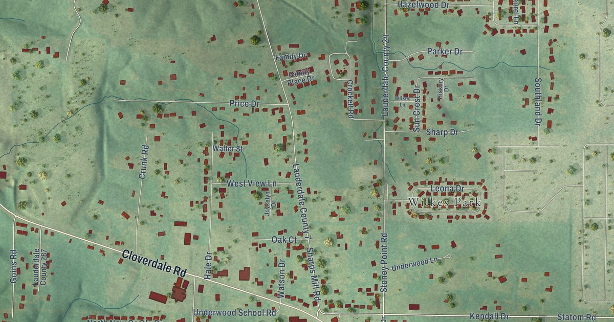
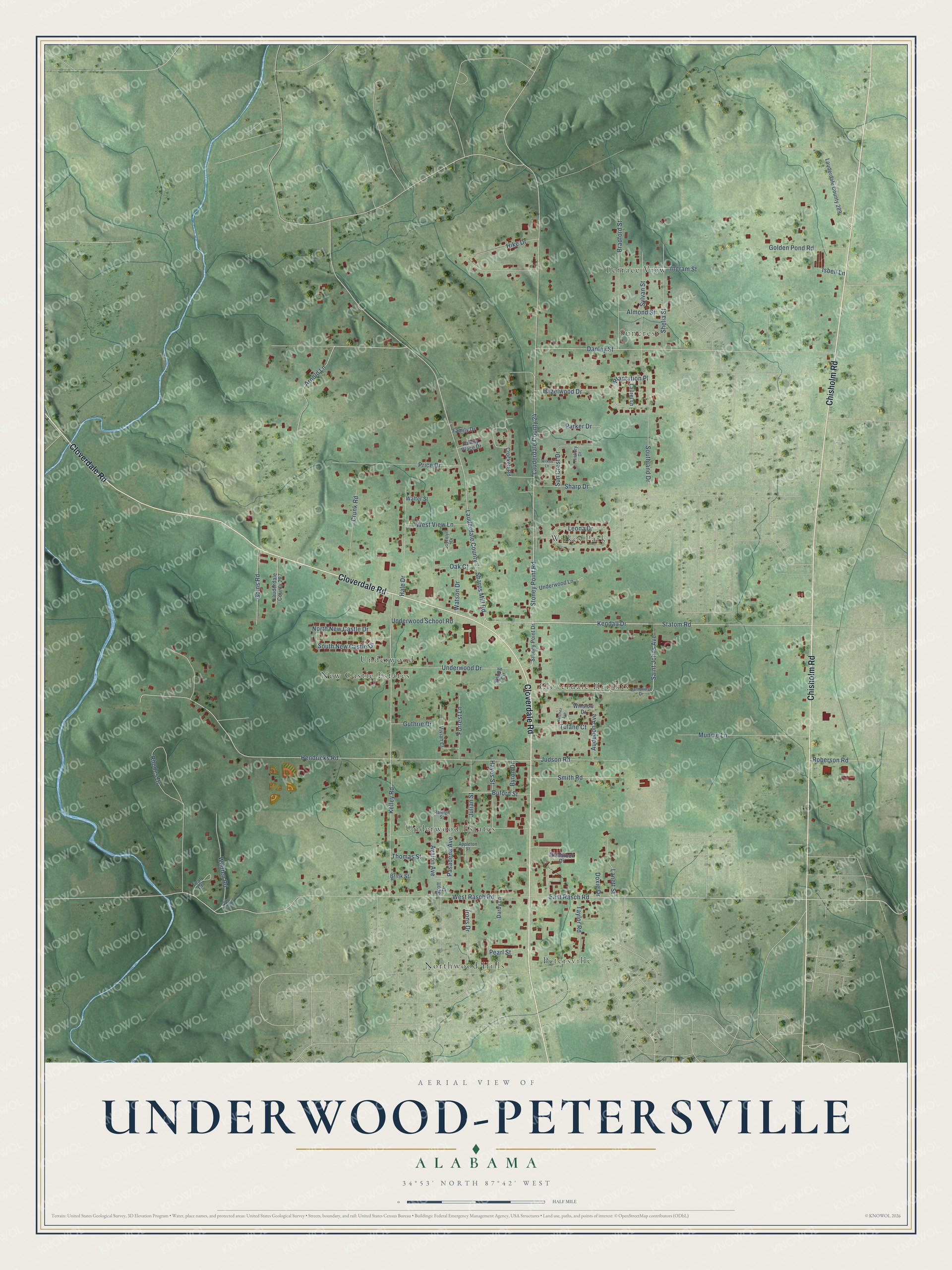
This beautifully detailed map of Underwood-Petersville, Alabama was created in 2026 using aerial imagery combined with modern topographical, census, street and landmark data. It's a modern aerial view of Underwood-Petersville in Lauderdale County, Alabama, that combines modern data with a vintage aesthetic. The roads feature printed names, and if you look closely you can find your exact house accurately shown in its correct location.
Explore an aerial view of Underwood-Petersville, Alabama
On this map you'll find Cloverdale Heights, Terrace View, Northwood Hills, Wilkes Park, Underwood Estates, New Castle Estates, Suncrest, Petersville, Underwood, Cloverdale Road, Chisholm Road, Lauderdale County 7, and more. Each red shape is a building, so zoom in on the preview and look for yours.
Underwood-Petersville is a community in Lauderdale County. The Census Bureau counted 3,051 people here in 2020. Underwood-Petersville sits about 4 miles northwest of Florence, 8 miles north of Sheffield and 10 miles west of Killen. The map prints the town name in its title panel, with the coordinates below it.
Take a closer look at the Underwood-Petersville map
Names on this map
These names are printed on this map.
Places: Cloverdale Heights, Terrace View, Northwood Hills, Wilkes Park, Underwood Estates, New Castle Estates, Suncrest, Petersville and Underwood.
Streets and roads: Cloverdale Road, Chisholm Road, Lauderdale County 7, Stoney Point Road, Kendall Drive, East Rasch Road, Saint Johns Avenue, Statom Road, Sharps Mill Road, Hendricks Road, Lauderdale County 24, West Rasch Road.
More street names, A to Z
Almond Street, Appleton Street, Arnold Lane, Audubon Avenue, Avalon Avenue, Bradford Street, Brink Street, Buford Street, Byron Drive, Cambridge Drive, Crockett Road, Crunk Road, Danley Street, Darby Lane, Doxie Drive, Family Drive, Family Place Drive, Forrest Lane, Goins Road, Golden Pond Road, Guthrie Drive, Hale Drive, Hayes Street, Hazelwood Drive, Hickory Drive, Hike Drive, Ingram Street, Irons Drive, Isbell Lane, Joycelyn Drive, Judson Road, Julian Street, Kelley Road, Lanett Street, Lauderdale County 287, Lauderdale County 289, Laurel Lane, Leona Drive, Muncie Lane, Natchez Avenue, North New Castle Drive, Oak Court, Parker Drive, Pasadena Avenue, Pearl Street, Petty Hill Road, Pinebrook Drive, Plantation Place, Price Drive, Raleigh Street, Rhodes Drive, Roberson Road, Scott Drive, Sharp Drive, Shelia Street, Smith Road, Southland Drive, South New Castle Drive, Stoney Point Drive, Sun Crest Drive, Sylvan Street, Taylor Road, Teal Drive, Thomas Street, Tulane Court, Underwood Drive, Underwood Lane, Underwood School Road, Vivian Court, Walter Street, Watson Drive, West View Lane, Whitten Road, Wilkes Lane, Winslow Drive, Young Circle.
See it on a wall
The Underwood-Petersville map as a framed print. Swipe for more.


Created by KNOWOL in 2026. The buildings are small red shapes, the roads carry their printed names, and shaded relief shows the shape of the land. The title panel reads "AERIAL VIEW OF UNDERWOOD-PETERSVILLE, ALABAMA" with 34°53' NORTH 87°42' WEST.
Hang it in the hallway, the office or the cabin, or give it to someone who left Underwood-Petersville and still calls it home. Open the preview and look for a street you know. See sizes and frames for the Underwood-Petersville map.