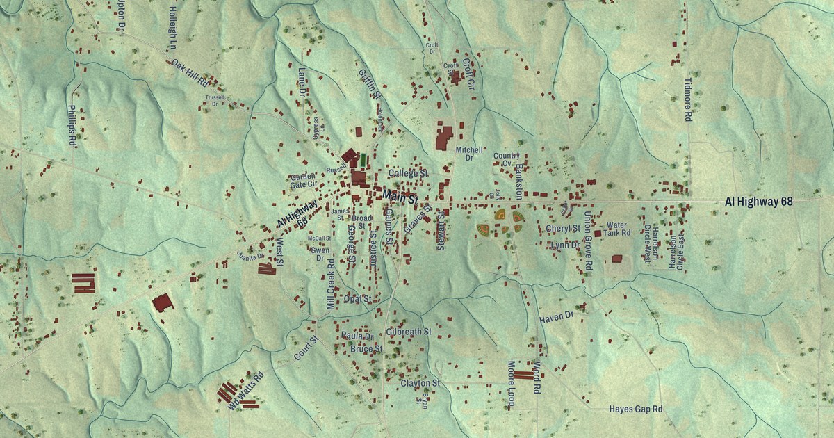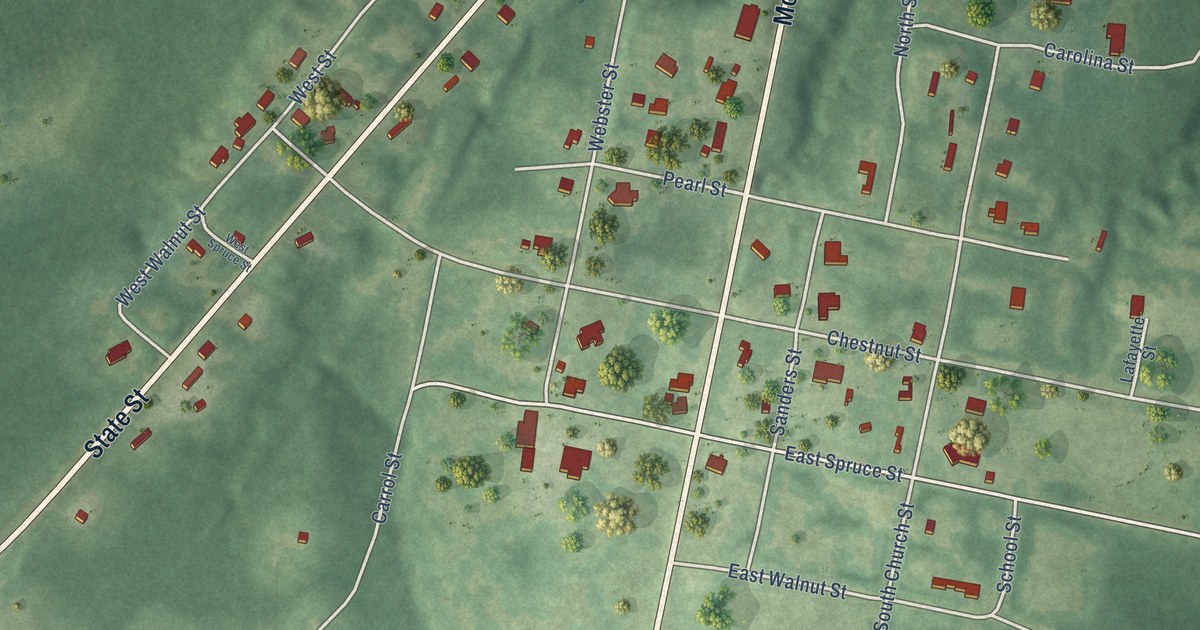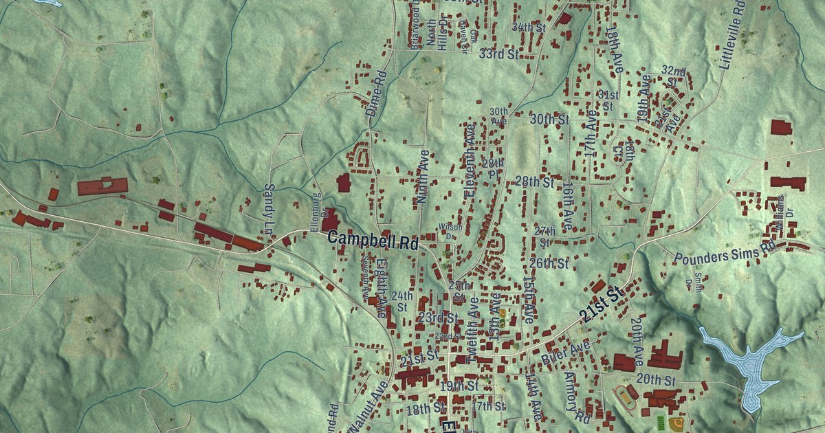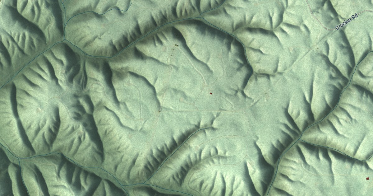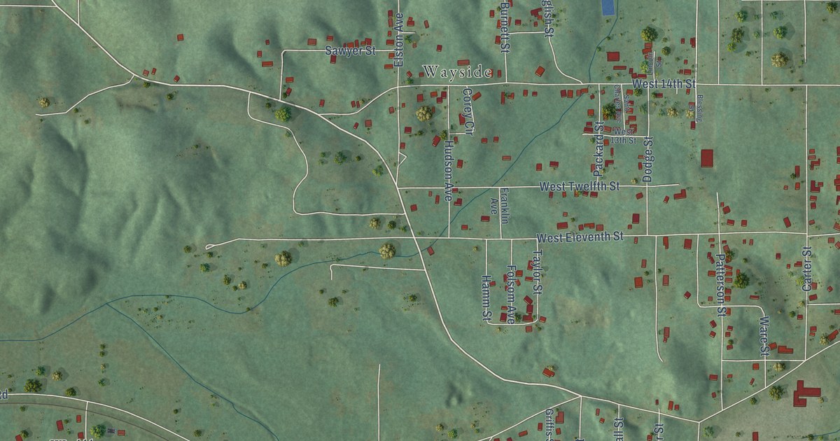
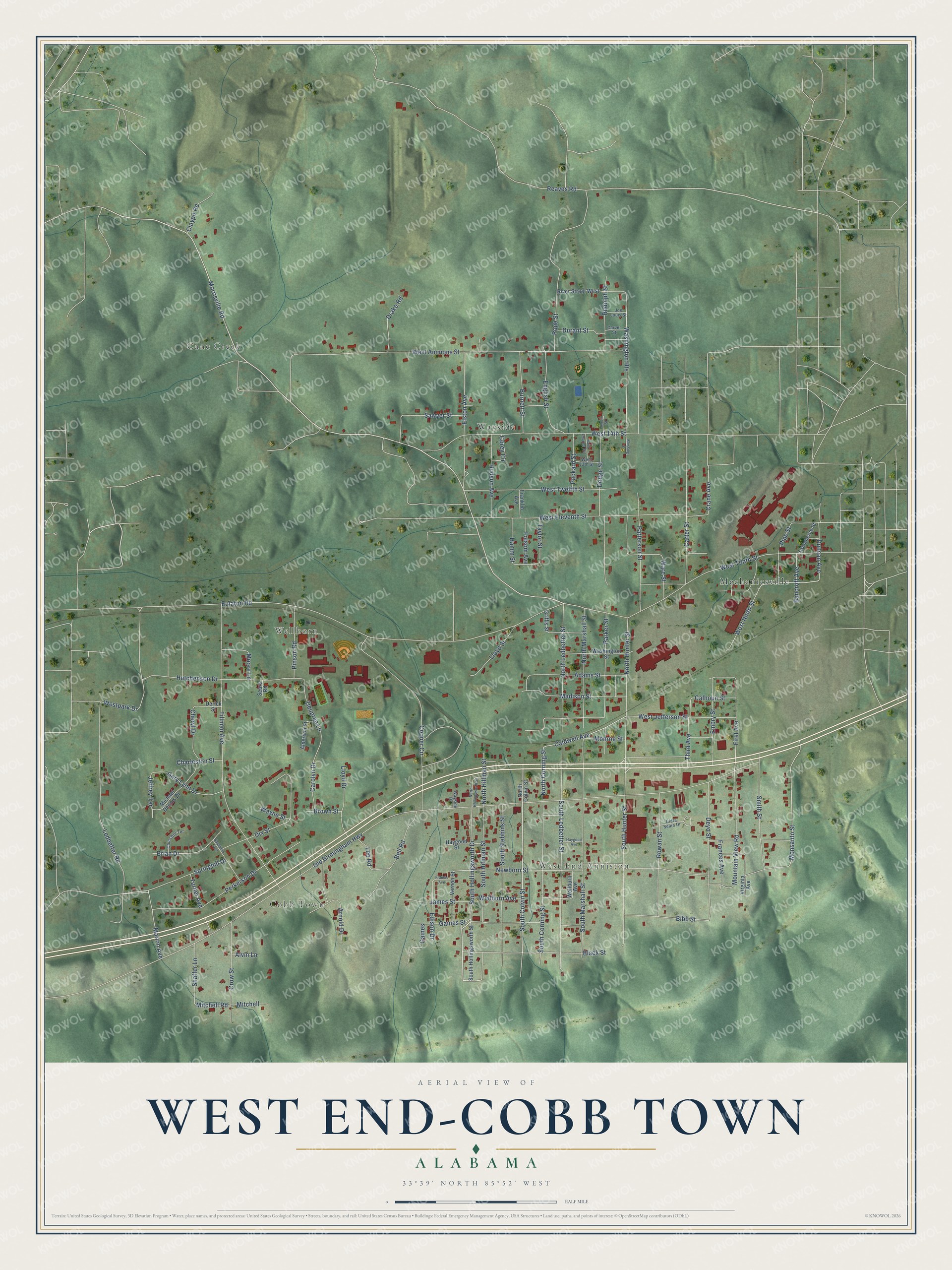
This beautifully detailed map of West End-Cobb Town, Alabama was created in 2026 using aerial imagery combined with modern topographical, census, street and landmark data. It's a modern aerial view of West End-Cobb Town in Calhoun County, Alabama, that combines modern data with a vintage aesthetic. The roads feature printed names, and if you look closely you can find your exact house accurately shown in its correct location.
Explore an aerial view of West End-Cobb Town, Alabama
On this map you'll find Cobb Town, Cane Creek, Wellborn, Mechanicsville, West End Anniston, Wayside, South Colvin Street, Morrisville Road, West Jefferson Street, North Corning Street, West Ninth Street, South Hollingsworth Drive, and more. Each red shape is a building, so zoom in on the preview and look for yours.
West End-Cobb Town is a community in Calhoun County. The Census Bureau counted 3,128 people here in 2020. West End-Cobb Town sits about 3 miles northwest of Hobson City, 4 miles north of Oxford and 4 miles west of Anniston. The map prints the town name in its title panel, with the coordinates below it.
Take a closer look at the West End-Cobb Town map
Names on this map
These names are printed on this map.
Places: Cobb Town, Cane Creek, Wellborn, Mechanicsville, West End Anniston and Wayside.
Streets and roads: South Colvin Street, Morrisville Road, West Jefferson Street, North Corning Street, West Ninth Street, South Hollingsworth Drive, Monsanto Street, First Avenue, Caldwell Avenue, Washington Heights, Mitchell Road, Old Birmingham Highway.
More street names, A to Z
Adams Street, Alvin Lane, Amerson Street, Arnold Drive, Bancroft Avenue, Bell Road, Bibb Street, Black Street, Blessing Street, Brian Drive, Brown Street, Burnett Street, Calhoun Street, Carolyn Drive, Carter Street, Carver Street, Charleston Street, Cheryl Drive, Churchill Terrace, Clara Sears Drive, Claypit Road, Commerce Street, Cooper Circle, Corey Circle, Crane Avenue, Crow Street, Derick Street, Deupree Lane, Deyo Street, Dix Street, Dodge Street, Drake Road, Duncan Avenue, Durant Street, Edison Drive, Elston Avenue, Embry Street, English Street, Eulaton Road, Folsom Avenue, Frances Avenue, Francis Avenue, Franklin Avenue, Gaines, Gaines Street, Gary Lynn Drive, Griffis Street, Hamm Street, Haygood Avenue, Haygood Street, Hudson Avenue, Hutchenson Drive, James Street, Jeffrey Terrace, Joe Louis Street, Ledbetter Road, Lee Road, Lincoln Street, Lloyd Drive, Lloyd Street, Madison Street, Marion Avenue, Michael Dennis Drive, Mitchell, Monroe Street, Moore Lane, Mountain View Road, Newborn Street, North Colvin Street, North Hillman Street, North Hollingsworth Street, North Hunter Street, North Ledbetter Street, North Marshall Street, Packard Street, Parker Street, Patterson Street, Perkerson Drive, Pinson Road, Pipe Street, Pope Street, Reaves Road, River Street West, Rowan Street, Rudolph Street, Saint Charles Avenue, Saunders Avenue, Sawyer Street, Sears Road, Shaffer Lane, Smith Street, South Corning Street, South Hillman Street, South Hollingsworth Street, South Hunter Street, South Ledbetter Street, South Marshall Street, South Stebbins Street, Springhill Drive, Taylor Street, Third Avenue, Tillman Avenue, Turner Avenue, Vernon Street, Virginia Avenue, Ware Street, Washington Street, Wayne Street, Wayside Drive, Wellborn Avenue, Wellburn Avenue, West 13th Street, West 14th Street, West Ammons Street, West Eleventh Street, Westpark Drive, West Tenth Street, West Twelfth Street.
See it on a wall
The West End-Cobb Town map as a framed print. Swipe for more.


Created by KNOWOL in 2026. The buildings are small red shapes, the roads carry their printed names, and shaded relief shows the shape of the land. The title panel reads "AERIAL VIEW OF WEST END-COBB TOWN, ALABAMA" with 33°39' NORTH 85°52' WEST.
It looks right in a kitchen, an office or a den, and it's a gift for anyone who grew up in West End-Cobb Town or moved away. Open the preview and find your street. See sizes and frames for the West End-Cobb Town map.